
Explore the Map
Jarmo
35.5558° N, 44.9303° E
About
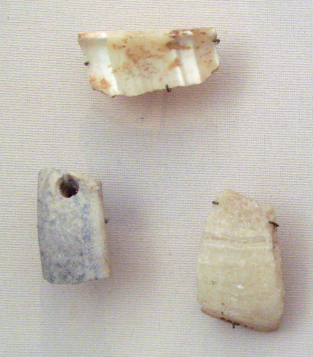
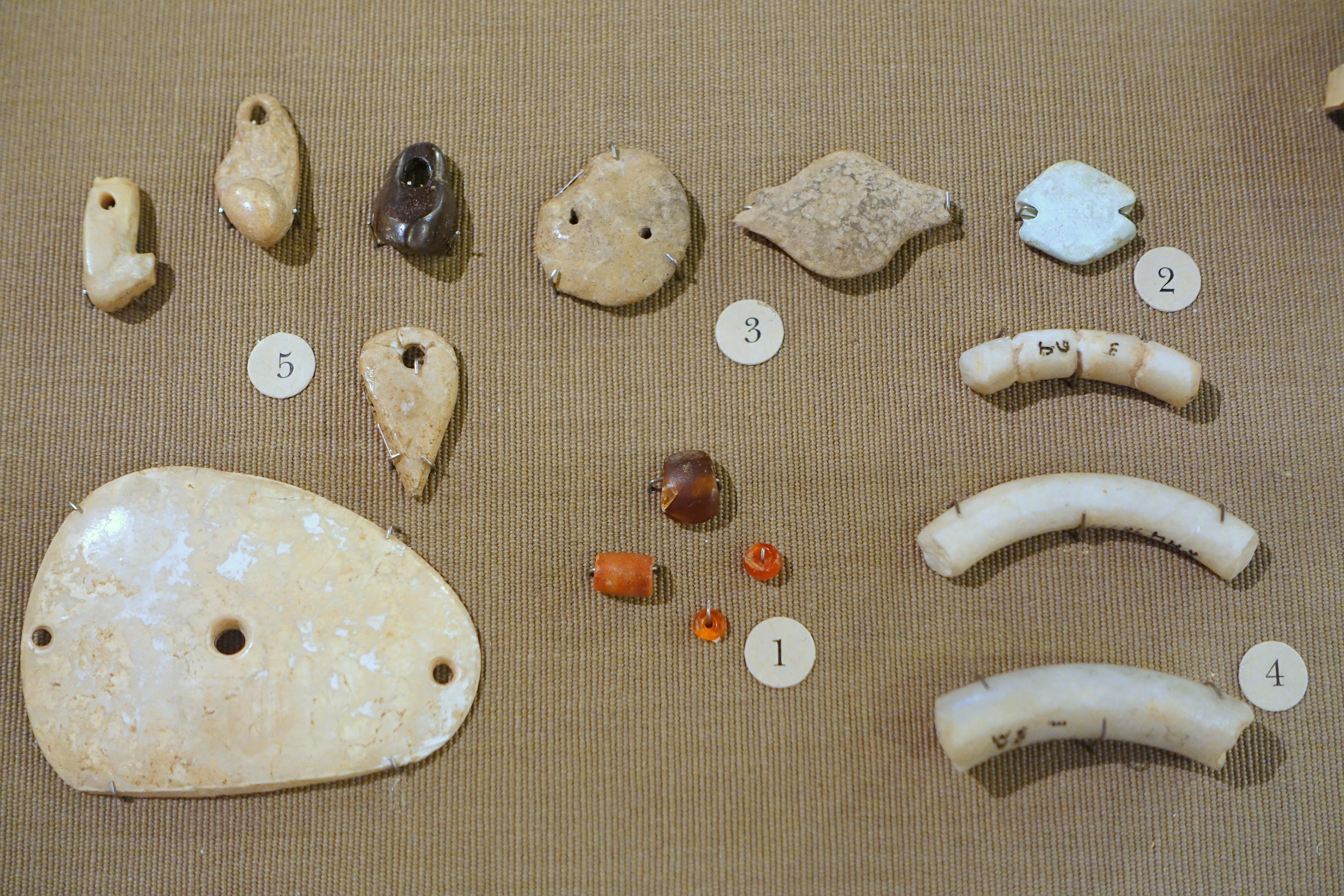
Jarmo is an archaeological site in Iraqi Kurdistan, nestled in the foothills of the Zagros Mountains at an altitude of 800 meters. This Neolithic village, spanning approximately 12,000 to 16,000 square meters, dates back to around 7090 BCE, with evidence of habitation until 4950 BCE. The site consists of about 25 adobe houses with stone foundations, indicating a permanent settlement of roughly 150 inhabitants. Jarmo is significant for its early evidence of agriculture, showcasing domesticated wheat, barley, and lentils, as well as animal husbandry with goats, sheep, and dogs. The presence of obsidian from Lake Van and ornamental shells from the Persian Gulf suggests early trade networks. Jarmo also boasts one of the earliest instances of pottery in Mesopotamia, along with clay figurines hinting at religious practices. The multidisciplinary approach used during the 1954-55 excavations set a precedent for future archaeological research methods.
Gallery
Explore photographs of ancient structures, artifacts, and archaeological excavations
Historical Timeline
Journey through time and discover key events in this site's history
Oldest habitation levels
7090 BCE
High point of settlement
6200 BCE to 5800 BCE
Most recent habitation levels
4950 BCE
Archaeological Features
Unique architectural and cultural elements found at this historical site
Storage Structures
Animal Husbandry Features
Industrial and Craft Structures
Artistic and Decorative Features
Agricultural and Land Use Features
Domestic and Habitation Structures
Frequently Asked Questions
Plan Your Visit
Tours, travel arrangements, and practical information
More Sites in Iraq
Larsa
Sumerian city-state and temple complex, Isin–Larsa period
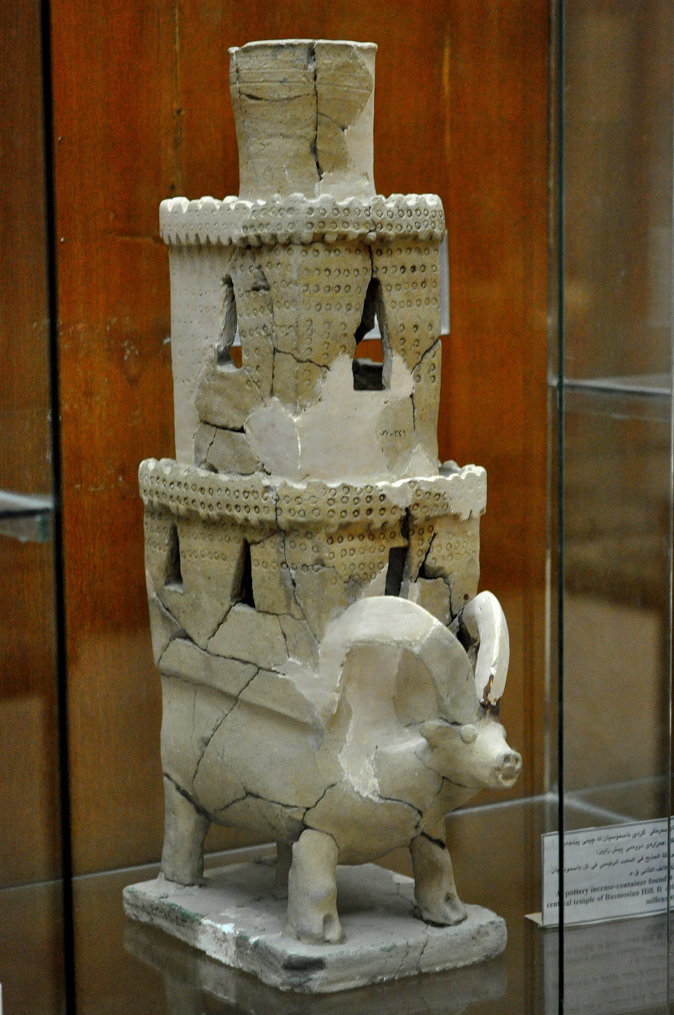
Tell Bazmusian
Large tell site with multi-period occupation.
Tell Rashid
Ubaid period settlement mound in Iraq
Tell al-Lahm
Oblong mound with city wall remnants
Tell Taya
Ancient hill city with fortifications and artifacts.
Tell Dehaila
Ancient tell site with mudbrick structures