
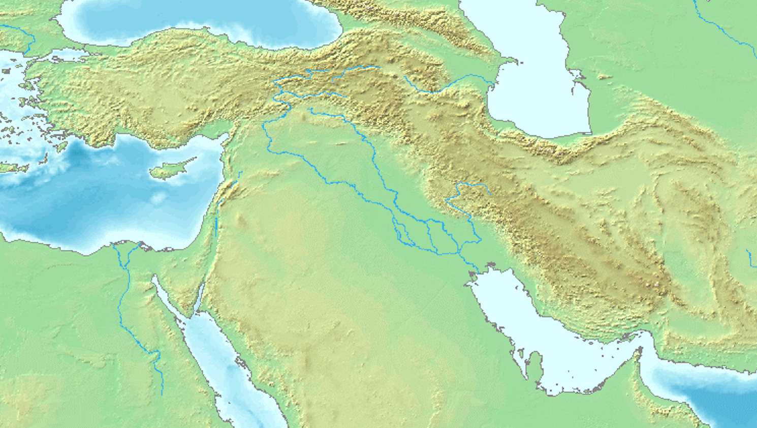
Explore the Map
Nuzi
35.3700° N, 44.2549° E
About
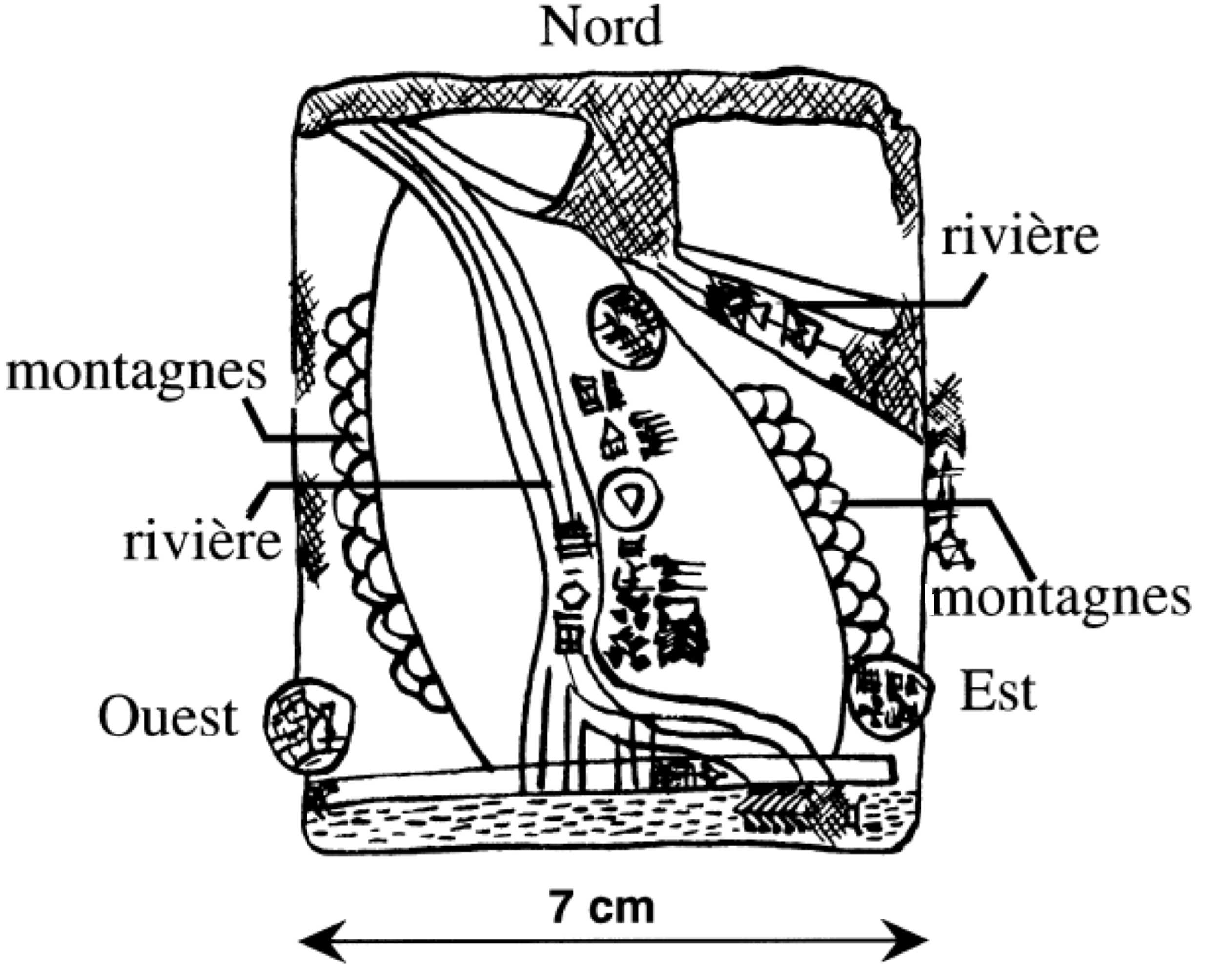
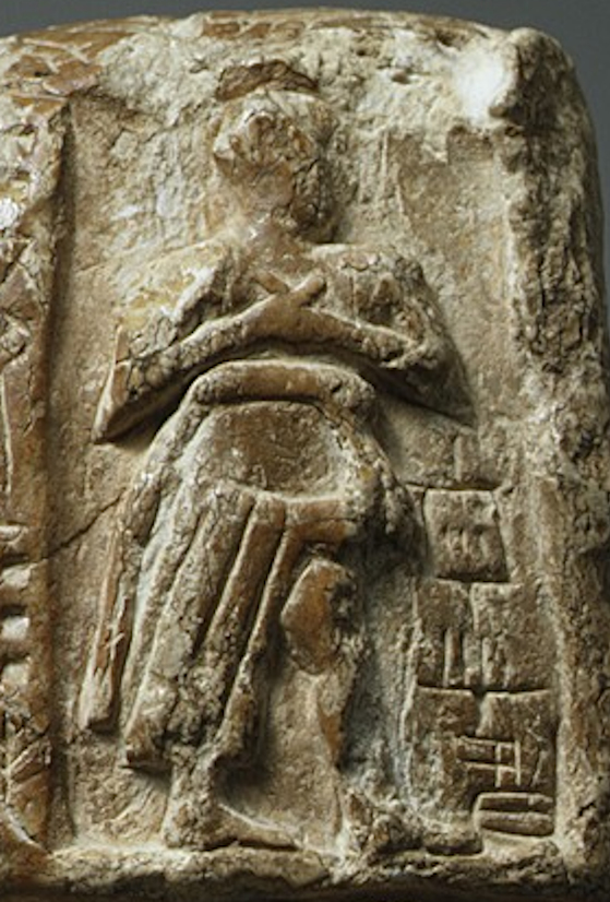
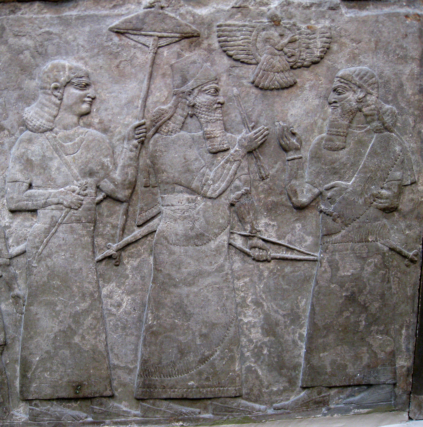
Nuzi, an ancient Mesopotamian city located at modern Yorghan Tepe, Iraq, offers significant archaeological insights with its 15 occupational layers. The site exhibits a rich history beginning as early as the late Uruk period, highlighting its evolution through the Akkadian period when it was known as Gasur. The city became a thriving commercial center, evidenced by the discovery of the oldest known map, the Nuzi map, dating back to the Old Akkadian period. During the Middle Bronze Age, under the rule of Shamshi-Adad, and later in the Late Bronze Age, the Hurrians gained control, renaming it Nuzi. This period is well-documented through the excavation of numerous cuneiform tablets. The archaeological findings, including palatial structures and administrative archives, provide a detailed view of the administrative and economic life in northern Mesopotamia, underscoring its significance in ancient history.
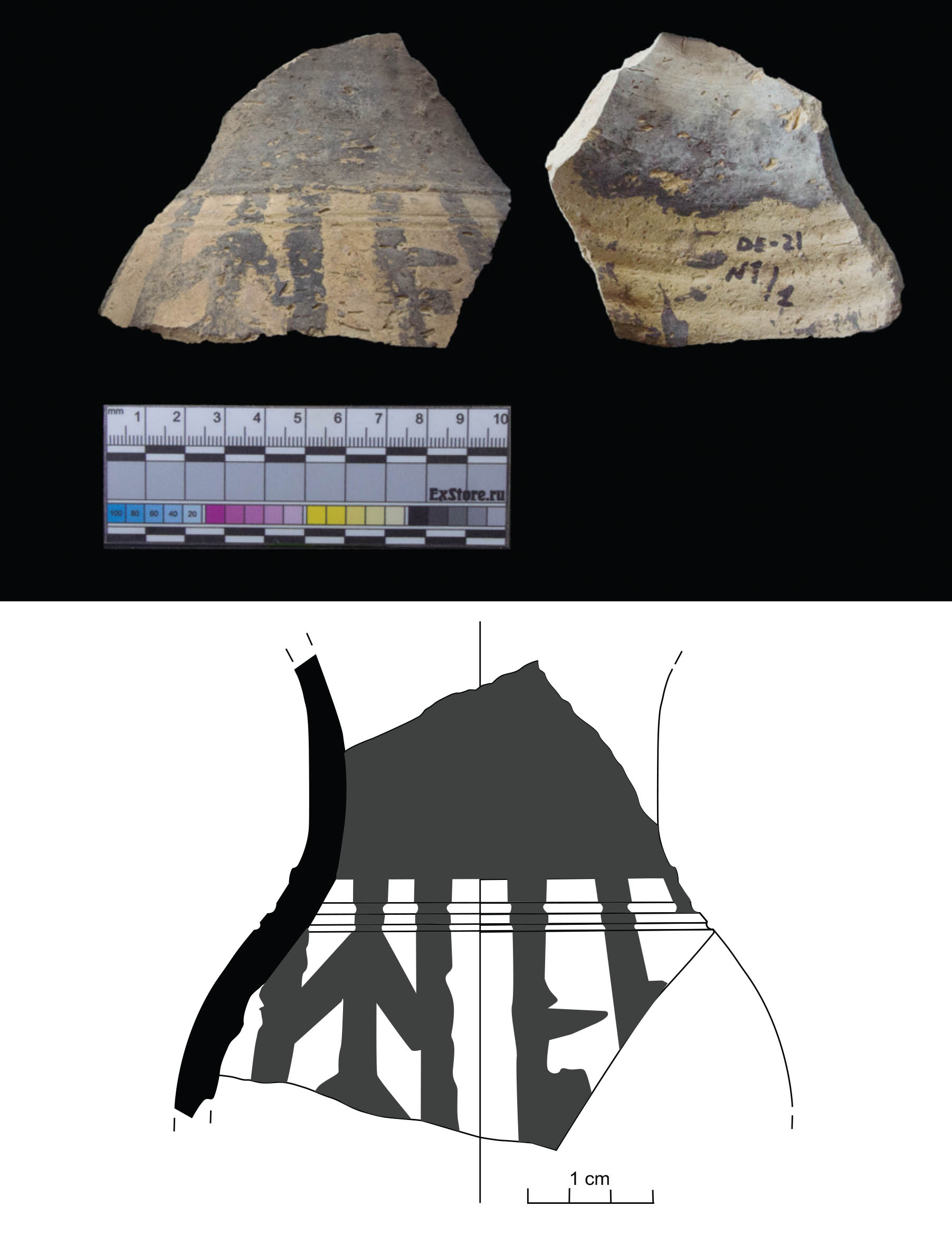
Gallery
Explore photographs of ancient structures, artifacts, and archaeological excavations
Historical Timeline
Journey through time and discover key events in this site's history
Late Uruk Period Occupation
3500 BCE - 3000 BCE
Akkadian Period as Gasur
2334 BCE - 2154 BCE
Hurrian Period as Nuzi
1500 BCE - 1400 BCE
Decline After Mitanni Fall
1400 BCE - 1300 BCE
Archaeological Features
Unique architectural and cultural elements found at this historical site
Storage Structures
Artistic and Decorative Features
Domestic and Habitation Structures
Transportation and Communication Structures
Frequently Asked Questions
Plan Your Visit
Tours, travel arrangements, and practical information
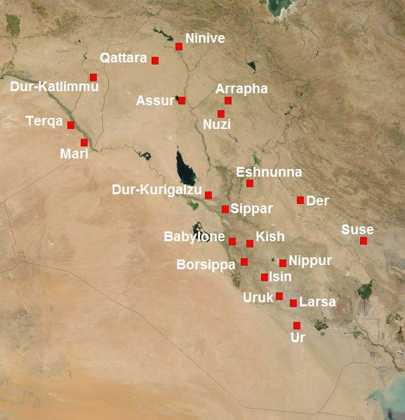
More Sites in Iraq
Larsa
Sumerian city-state and temple complex, Isin–Larsa period
Tell Yelkhi
Oval mound with Kassite and earlier remains.
Tarbisu
Ancient Assyrian city with palaces and temples
Tell al-Fakhar
Pottery mound with multi-period occupation.
Assur
Ancient Assyrian city on the Tigris River
Tell Dehaila
Ancient tell site with mudbrick structures