Explore the Map
Troldborg Ring
55.6784° N, 9.3421° E
About
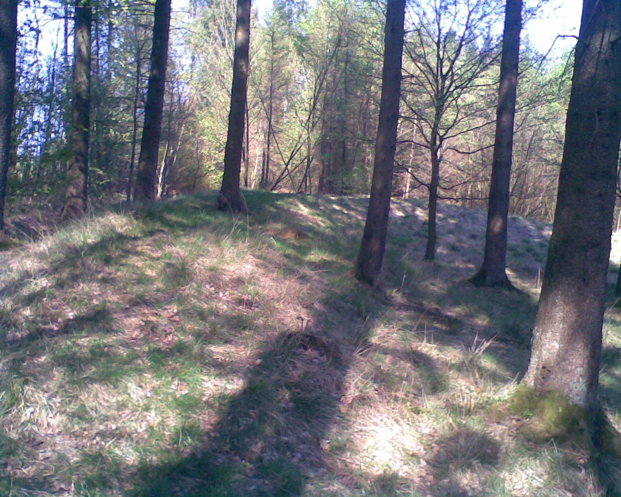
The Troldborg Ring is a significant Iron Age fortification located in Vejle Municipality, Denmark. This archaeological site, constructed between 100 and 200 CE, features a circular rampart and a moat, strategically positioned on a high point overlooking the Vejle River Valley. It served as a refuge during periods of violence, rather than a permanent dwelling, and was in use until around 400 CE. The site's location, near the later Ravning Bridge, suggests its strategic importance even before the Viking Age. Notably, large quantities of ash from massive fires have been discovered at the site, although their origins remain unclear. The Troldborg Ring provides valuable insights into the defensive strategies and socio-political turbulence of Late Iron Age Denmark.
Gallery
Explore photographs of ancient structures, artifacts, and archaeological excavations

Historical Timeline
Journey through time and discover key events in this site's history
Usage of Troldborg Ring
100-400 CE
Construction of Troldborg Ring
100-200 CE
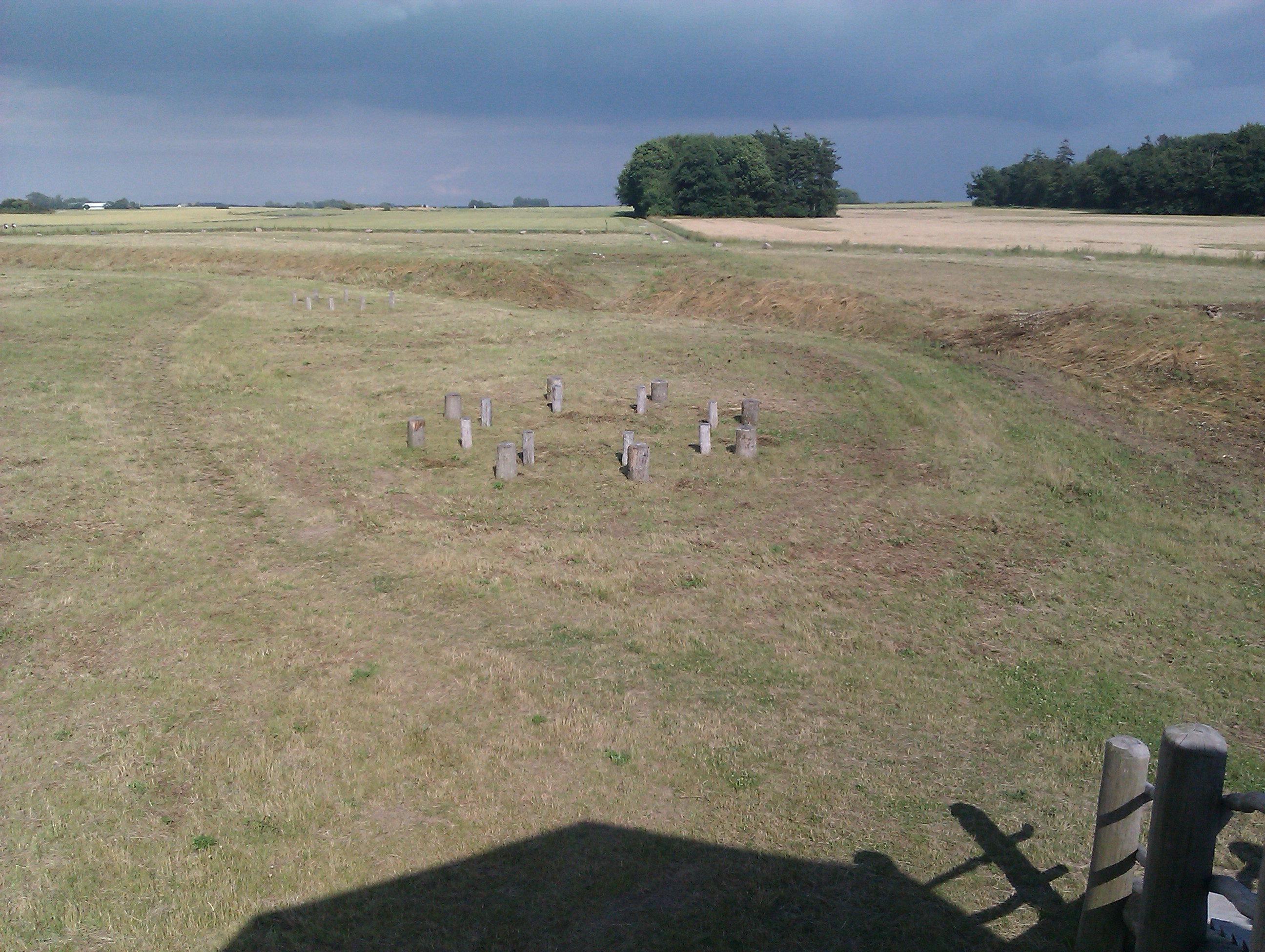
Archaeological Features
Unique architectural and cultural elements found at this historical site
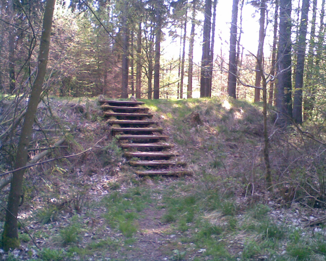
Defensive Structures
Environmental and Natural Features
Frequently Asked Questions
Plan Your Visit
Tours, travel arrangements, and practical information
More Sites in Denmark
Illerup Ådal
Nordic Iron Age ritual deposit site, East Jutland, Denmark
Dankirke
Early Danish Iron Age settlement site
Rispebjerg
Neolithic sun temple and Iron Age earthworks.
Viking-Age Ring Fortresses
These five archaeological sites comprise a system of monumental ring-shaped Viking-Age fortresses sharing a uniform geometric design. Constructed between…
Moravian Church Settlements
<p>This transnational serial property comprises four congregational settlements in four countries representing the transnational scope and consistency of…
Essenbæk Abbey
Benedictine monastery ruins in Djursland, Denmark