
Explore the Map
Kuk Swamp
-5.7837° N, 144.3317° E
About
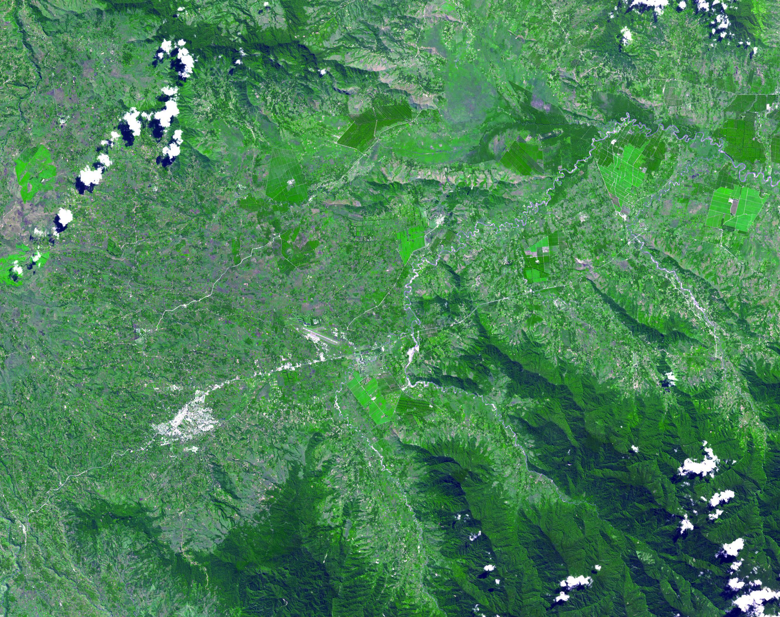
Kuk Swamp is a significant archaeological site located in Papua New Guinea's Wahgi Valley, recognized for its early evidence of agriculture. This highland site, at an altitude of approximately 1550 meters, features a sophisticated network of drainage systems dating back to 9000 years ago, representing some of the earliest known agricultural practices globally. These systems, including major disposal channels and field ditches, were used to transform the swamp into an anthropogenic grassland, facilitating the cultivation of native crops like taro. Subsequent phases of agriculture at Kuk Swamp include the cultivation of bananas and sugar cane around 6900 to 6400 years ago, underscoring the site's role as an independent center for the development of agriculture. Kuk Swamp's designation as a UNESCO World Heritage Site in 2008 highlights its archaeological and historical importance.
Gallery
Explore photographs of ancient structures, artifacts, and archaeological excavations
Historical Timeline
Journey through time and discover key events in this site's history
Early drainage systems
9000 BCE
Banana and sugar cane cultivation
6950 BCE
Archaeological Features
Unique architectural and cultural elements found at this historical site
Defensive Structures
Water Management Features
Agricultural and Land Use Features
Environmental and Natural Features
Plan Your Visit
Tours, travel arrangements, and practical information