
Explore the Map
Al-Jarud
36.5833° N, 39.5833° E
About
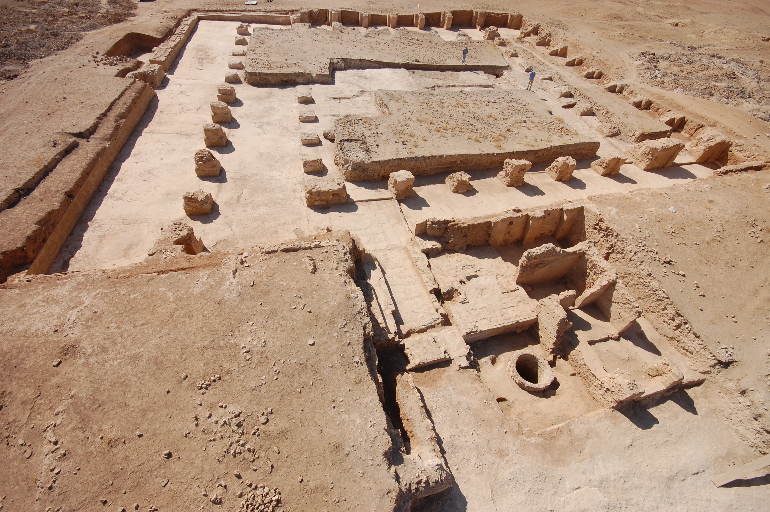
Al-Jarud, located in present-day Syria, was a minor regional center and a hub for trade during its peak in the 9th century CE. The archaeological site is identified with the ruins of Kharāb Sayyār, covering about 42 hectares. The city was fortified with a rectangular wall and half-round towers, reflecting its strategic importance. A geophysical survey and excavation revealed numerous structures within the city's confines, including a mosque, market, and residential buildings, alongside a water supply system and a bathhouse. The city's building phases primarily occurred in the mid-9th century CE, coinciding with the Abbasid period when agricultural demands were high. Al-Jarud's abandonment is estimated to have occurred soon after 900 CE, as suggested by numismatic evidence and pottery dating.
Gallery
Explore photographs of ancient structures, artifacts, and archaeological excavations
Historical Timeline
Journey through time and discover key events in this site's history
Construction of al-Jarud
850 CE
Abandonment of al-Jarud
900 CE
Archaeological Features
Unique architectural and cultural elements found at this historical site
Defensive Structures
Water Management Features
Public and Civic Structures
Religious and Ritual Structures
Domestic and Habitation Structures
Plan Your Visit
Tours, travel arrangements, and practical information
More Sites in Syria
Tell Zeidan
Ubaid settlement mounds in northern Syria
Tuttul
Middle Bronze Age sacred city at Tell Bi'a, Syria
Tell Hazna I
Early Dynastic temple mound in al-Hasakah, Syria
Tell Fekheriye
Syrian tell with Middle and Neo-Assyrian remains
Tell Rad Shaqrah
Fortified tell on the Khabur River, Upper Mesopotamia
Arpad, Syria
Aramaean city site (Tell Rifaat), northwestern Syria