Explore the Map
Þjóðveldisbærinn Stöng
64.1200° N, -19.8203° E
About
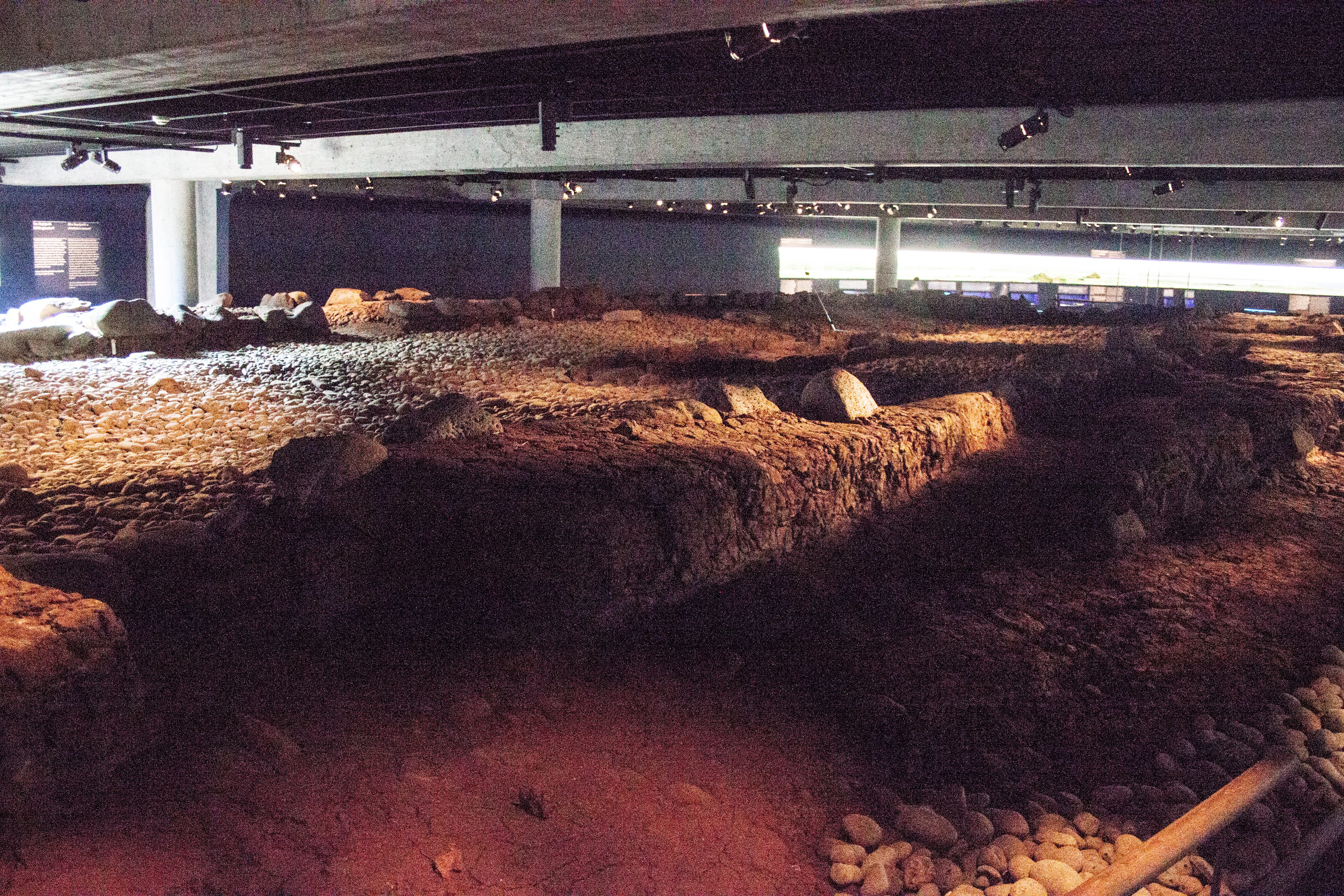
Þjóðveldisbærinn Stöng (Icelandic: [ˈθjouðˌvɛltɪsˌpaiːrɪn ˈstœyŋk], Stöng Commonwealth Farm) is a reconstructed viking-era farmstead in Iceland, located in the Þjórsárdalur valley near road 32 in Árnessýsla county. It is a historically accurate reconstruction of the three buildings, including a longhouse, which stood 7 km to the north at Stöng; the farm is believed to have been buried under volcanic ash in 1104 following the eruption of the volcano Hekla. The reconstruction was built in 1974 as a part of the national celebrations of the 1100th anniversary of the settlement of Iceland in 874.
Historical Timeline
Journey through time and discover key events in this site's history
Settlement of Iceland
874
Ash burial at Stöng
1104
Reconstruction built
1974
Archaeological Features
Unique architectural and cultural elements found at this historical site
Domestic and Habitation Structures
Environmental and Natural Features
Frequently Asked Questions
Plan Your Visit
Tours, travel arrangements, and practical information