Explore the Map
Atlit Yam
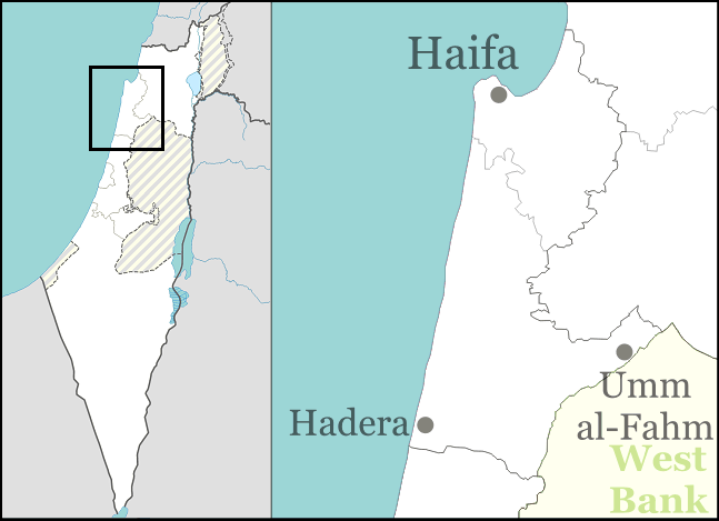
32.7108° N, 34.9352° E
About
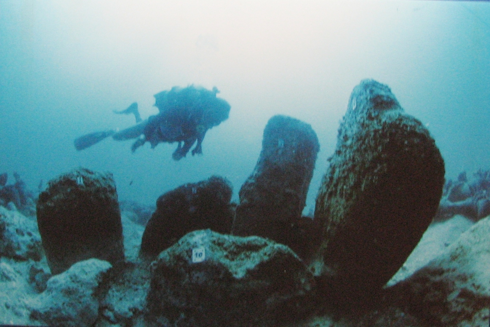
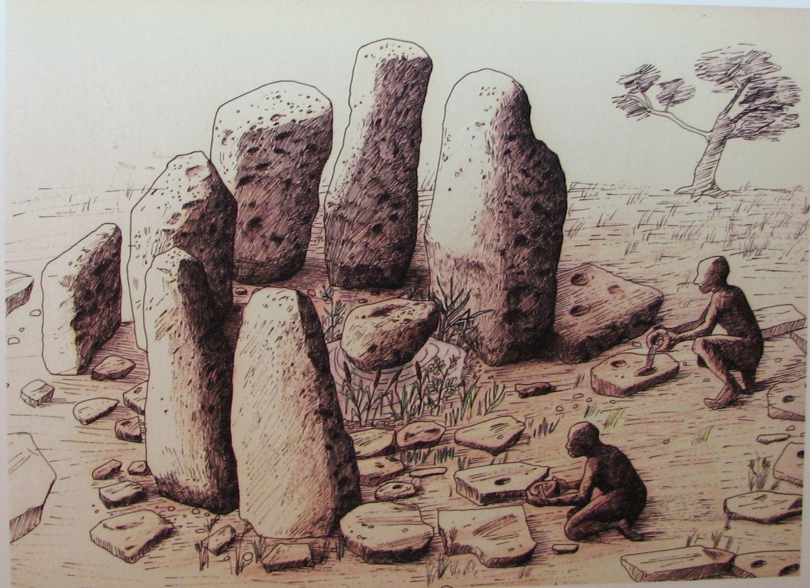
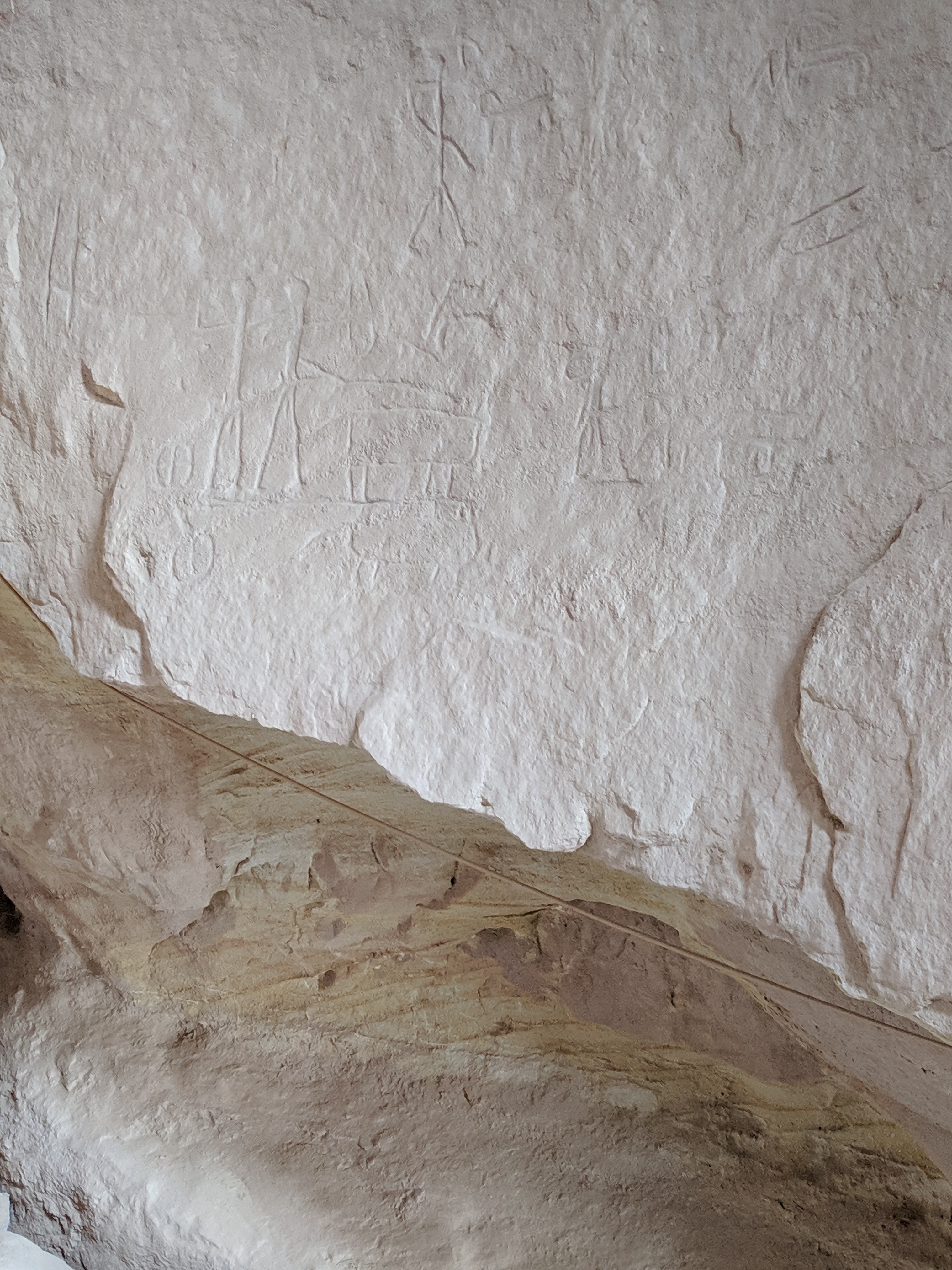
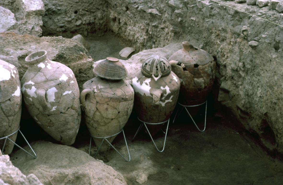
Atlit Yam is an underwater archaeological site located off the coast of Atlit, Israel. It represents a submerged Neolithic village dating back to between 8,900 and 8,300 years ago. The site spans 4 hectares and is recognized for its well-preserved stone circle, which may have been used for ritualistic purposes. Excavations have revealed remains of rectangular houses, a well, and evidence of a diverse subsistence system combining agriculture, pastoralism, and marine resources. Significant finds include the earliest known cases of tuberculosis, stone stelae, and flexed burials. A volcanic collapse of Mount Etna around 8,500 years ago is hypothesized to have caused a tsunami that contributed to the village's sudden abandonment. Atlit Yam provides valuable insights into Neolithic life and the interactions between human settlements and changing sea levels.
Gallery
Explore photographs of ancient structures, artifacts, and archaeological excavations

Historical Timeline
Journey through time and discover key events in this site's history
Agro-pastoral-marine subsistence system
6900 BCE
Abandonment of Atlit Yam
6500 BCE
Volcanic collapse and possible tsunami
6500 BCE
Archaeological Features
Unique architectural and cultural elements found at this historical site
Water Management Features
Burial and Funerary Structures
Religious and Ritual Structures
Domestic and Habitation Structures
Environmental and Natural Features
Food Production and Processing Features
Frequently Asked Questions
Plan Your Visit
Tours, travel arrangements, and practical information
More Sites in Israel
Tel Kabri
Bronze Age Canaanite palace and settlement
Timna Valley
Copper mining and unique sandstone formations
Gath-hepher
Ancient town with prophet's tomb nearby.
Tell Abu Hawam
Bronze Age port city near Haifa
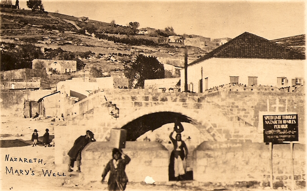
Mary's Well
Ancient water supply with religious significance
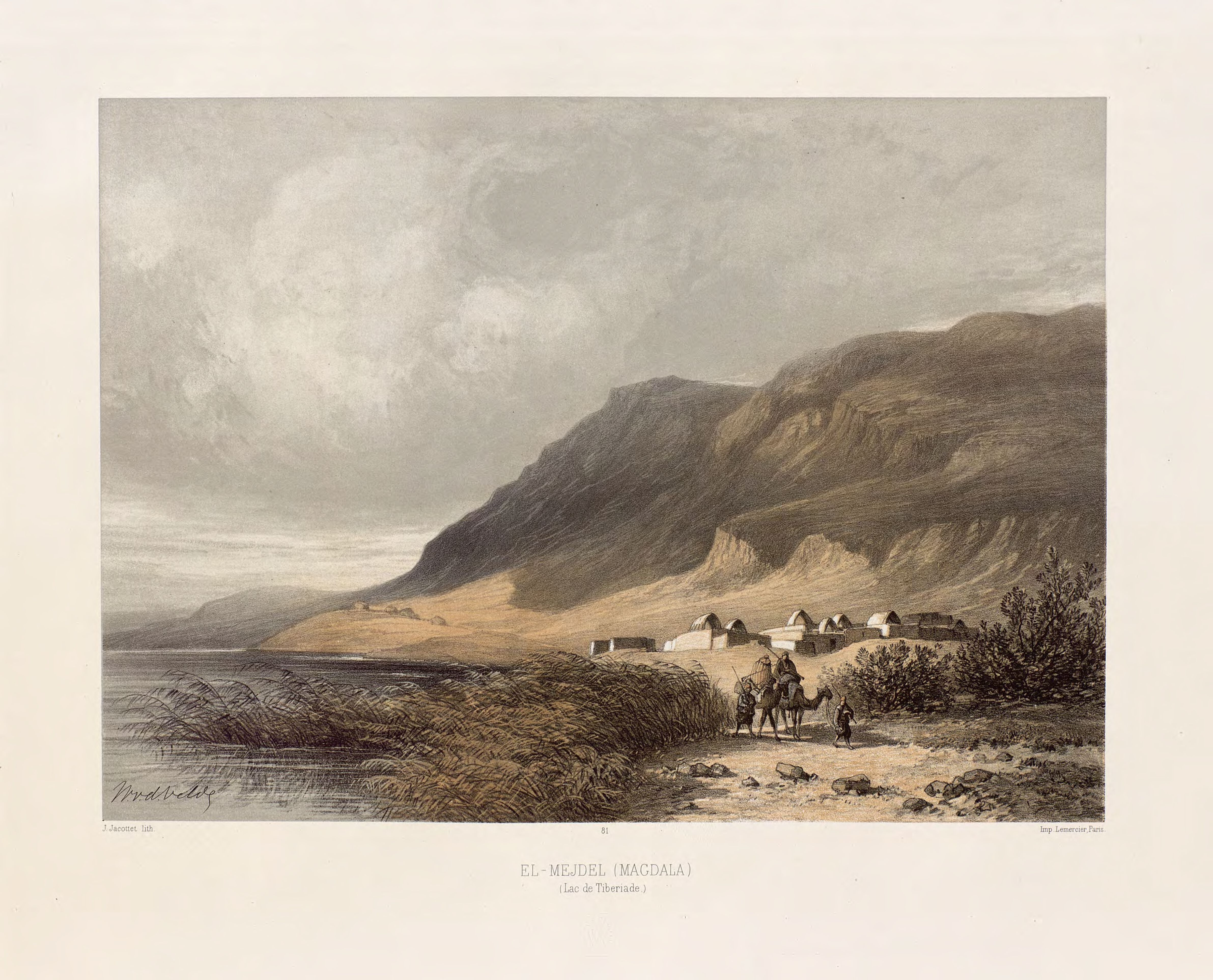
Magdala
Ancient Jewish city with Roman synagogues