Explore the Map
Viciana
42.8222° N, 20.9694° E
About
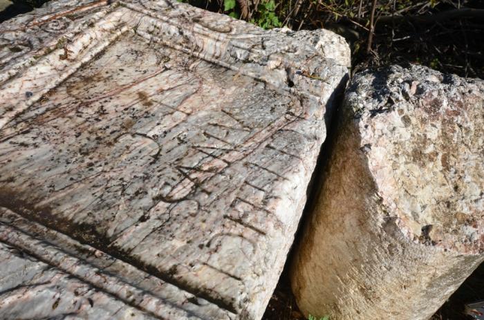
Viciana, also referred to as Station Viciano, was a Roman road station of the mansio type, whose precise location remains uncertain, though it is hypothesized to be within the Kosovo field, potentially near the present-day city of Vushtrri. This site played a crucial role as a stopping point for caravans navigating the significant Lissus–Naissus route, which connected the Adriatic coast at Lezha through Dardania to Niš. Viciana is documented in the Tabula Peutingeriana, a medieval copy of a 3rd-century Roman map, underscoring its historical significance in Roman transportation networks. The nearby ruins at Pestovë, identified as a Roman villa, suggest a rich archaeological context that invites further exploration into the site's role in the broader network of Roman settlements and infrastructure.
Gallery
Explore photographs of ancient structures, artifacts, and archaeological excavations


Historical Timeline
Journey through time and discover key events in this site's history
Viciana as a road station
3rd century CE
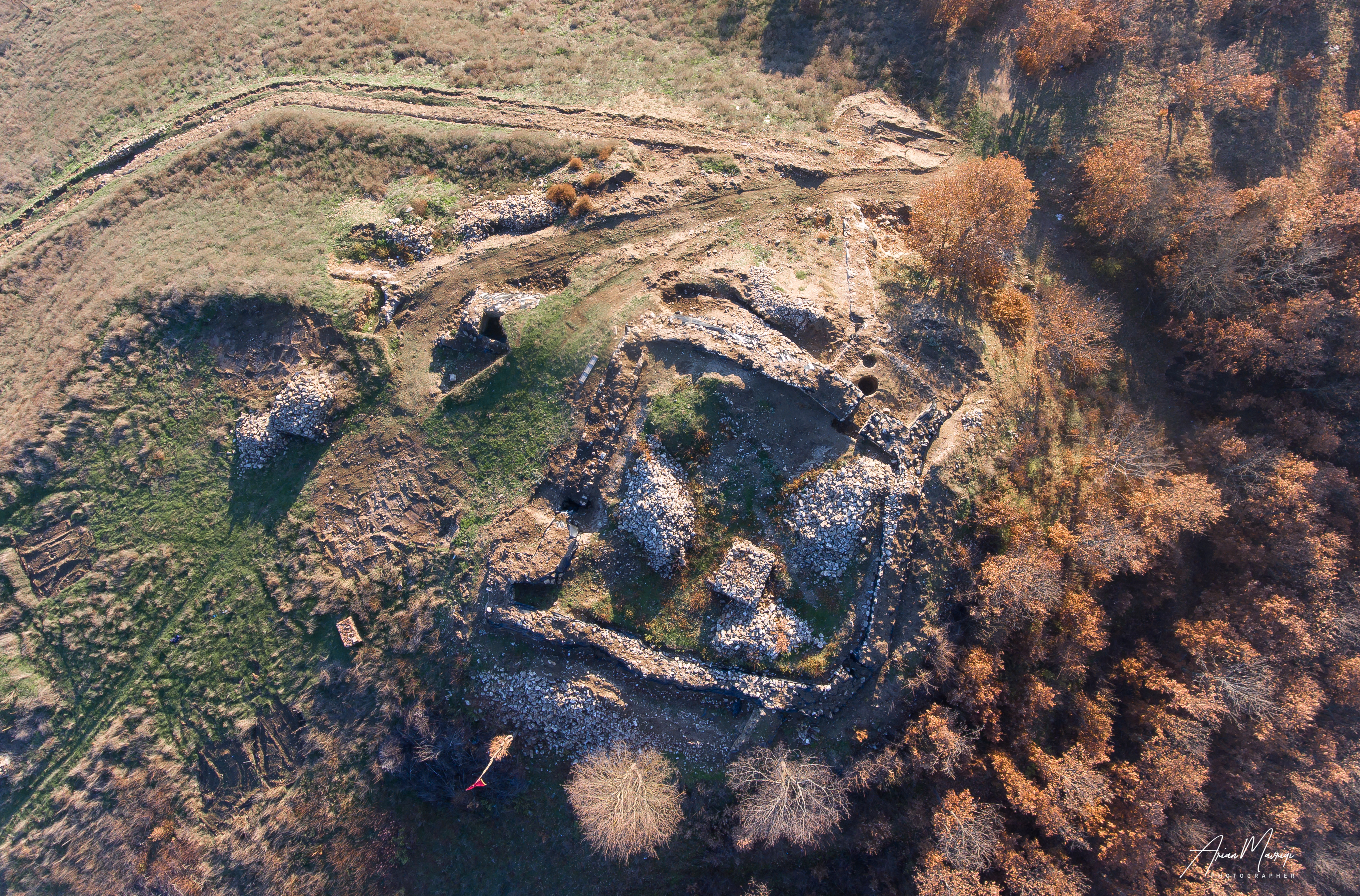
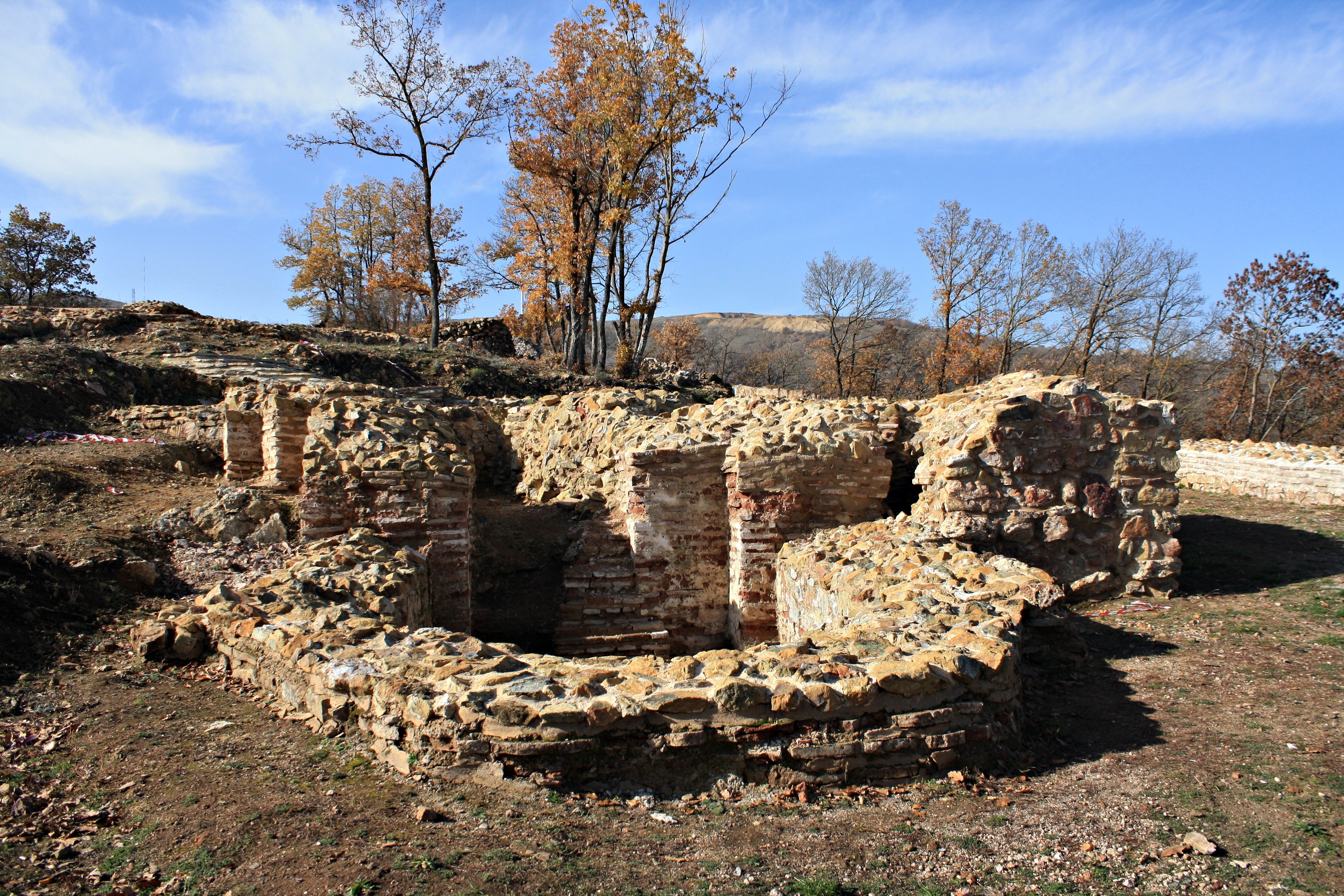
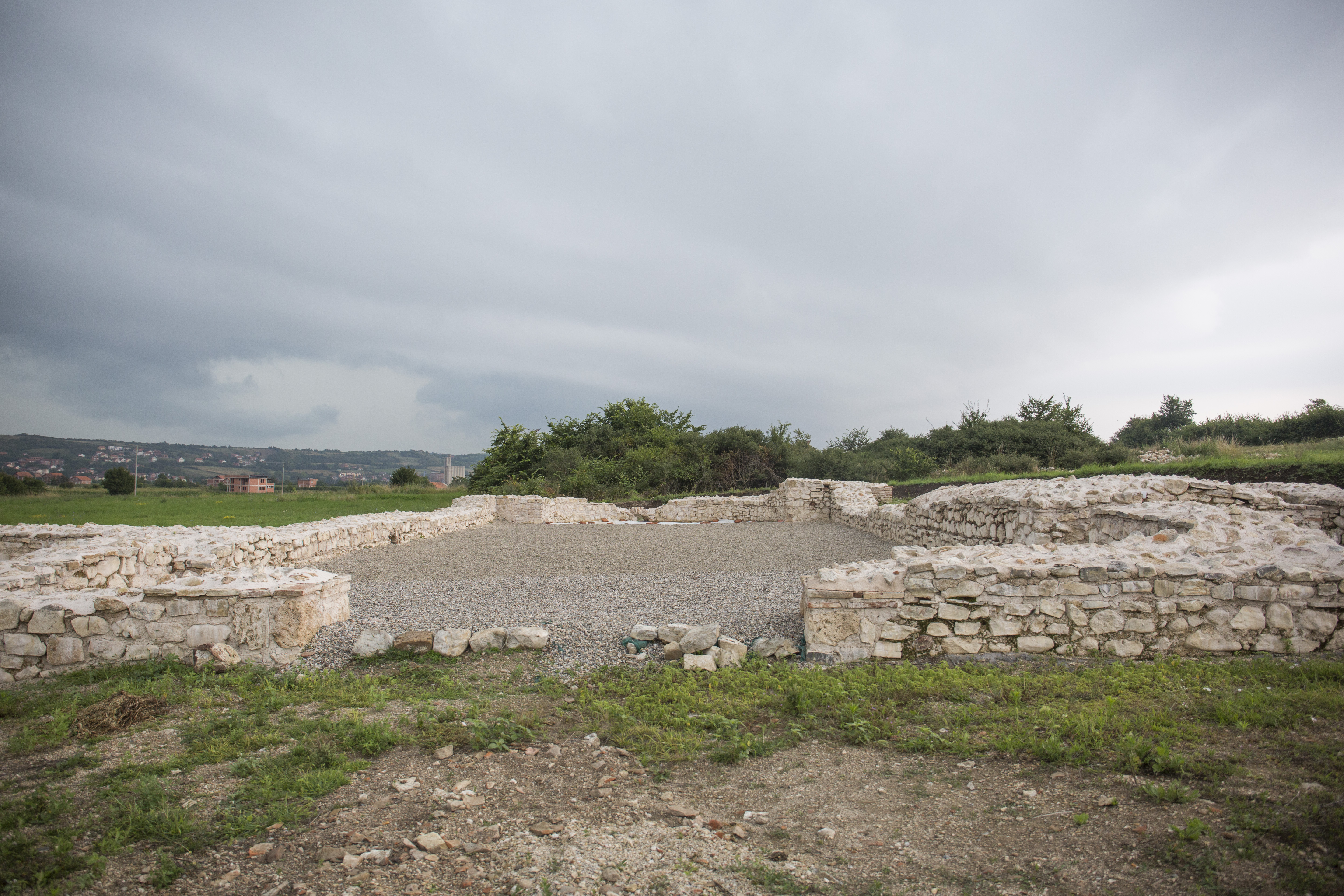
Archaeological Features
Unique architectural and cultural elements found at this historical site
Transportation and Communication Structures
Frequently Asked Questions
Plan Your Visit
Tours, travel arrangements, and practical information
Recommended Tours

More Sites in Kosovo
Kllokot-Vërban (archaeological site)
Roman settlement on fertile river terrace.
Dardana Fortress
Hilltop settlement with multi-period fortifications
Paldenica (archaeological site)
Roman necropolis and settlement remains
Harilaq Fortress
Hilltop fortress with Byzantine structures
Dresnik archaeological site
Roman-era site with colorful mosaics
Poslishte (archaeological site)
Roman road station with Thermae and Mansio.