
Explore the Map
Dhar Tichitt
18.4517° N, -9.4053° E
About
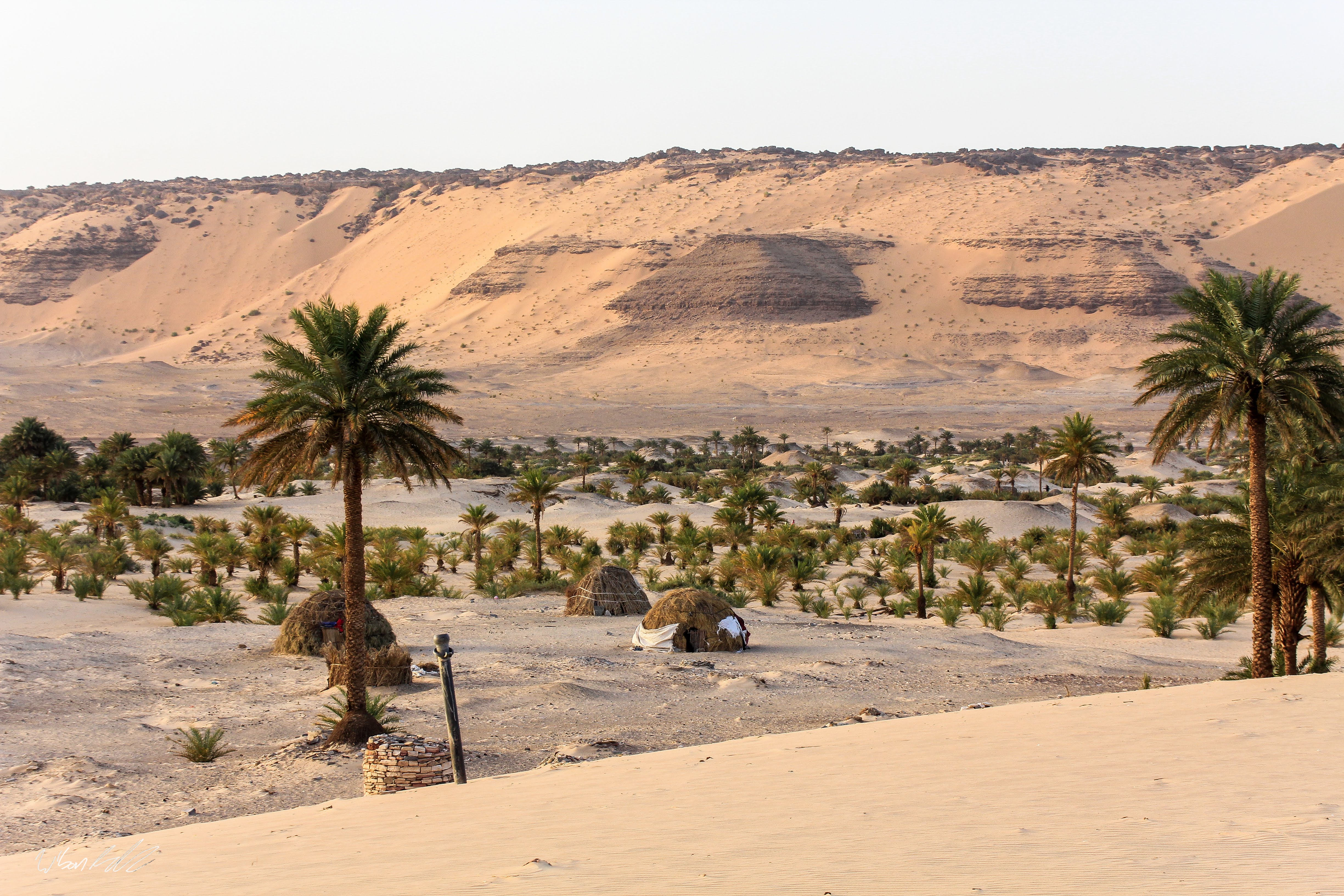
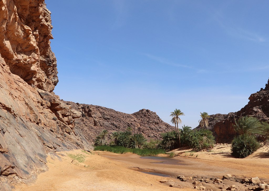
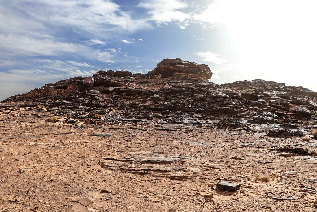
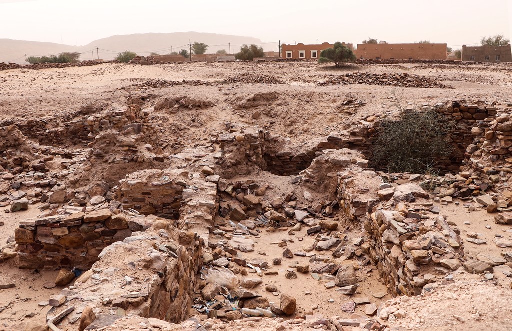
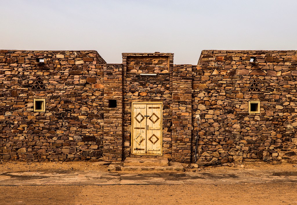
Dhar Tichitt, located in the southwestern Sahara Desert of Mauritania, is a significant Neolithic archaeological site comprising sandstone cliffs and ancient settlements that date from approximately 2000 BCE to 300 BCE. The site is characterized by hundreds of villages featuring drystone compounds, granaries, and cattle pens, indicative of a complex society. The presence of defensive walls and a structured settlement layout suggests a hierarchical social system. The site's economy included millet farming and livestock herding, with evidence of early grain domestication around 1900 BCE. The climate's shift towards desertification around 300 BCE likely led to the site's decline. Dhar Tichitt is key to understanding early West African societies, providing insights into social organization, agricultural practices, and responses to environmental changes.
Gallery
Explore photographs of ancient structures, artifacts, and archaeological excavations
Historical Timeline
Journey through time and discover key events in this site's history
Neolithic Settlement
2000 BCE
Millet Domestication
1900 BCE
Peak Settlement Activity
1400 BCE
Construction of Defensive Walls
1400 BCE
Increased Desertification
300 BCE
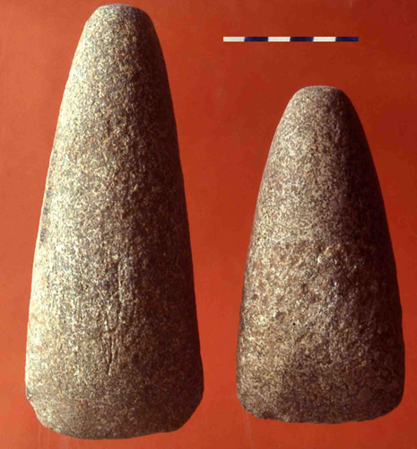
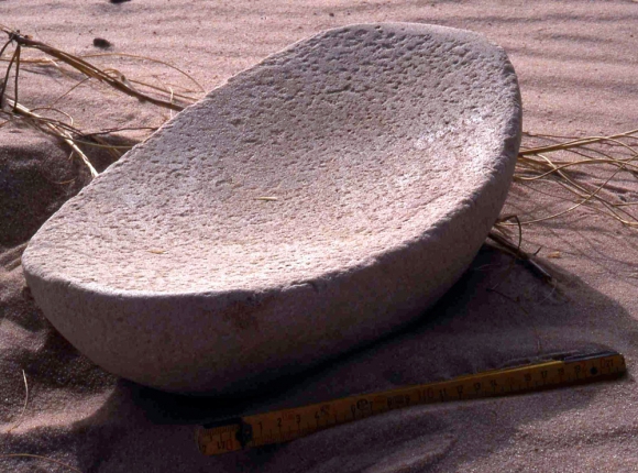
Archaeological Features
Unique architectural and cultural elements found at this historical site
Storage Structures
Defensive Structures
Animal Husbandry Features
Burial and Funerary Structures
Artistic and Decorative Features
Agricultural and Land Use Features
Domestic and Habitation Structures
Frequently Asked Questions
Plan Your Visit
Tours, travel arrangements, and practical information
More Sites in Mauritania
Amazmaz
Isolated elevation with ancient rock paintings
Koumbi Saleh
Ruins of ancient city, potential Ghana capital
Agrour Amogjar
Rock paintings in natural shelters on plateau.
Azougui
Ancient town with fortress and necropolis
Ouadane
Ruined town with historic trade significance.
Togba
Ruins of a town in Mauritania