
Explore the Map
Azougui
20.4053° N, -13.1111° E
About
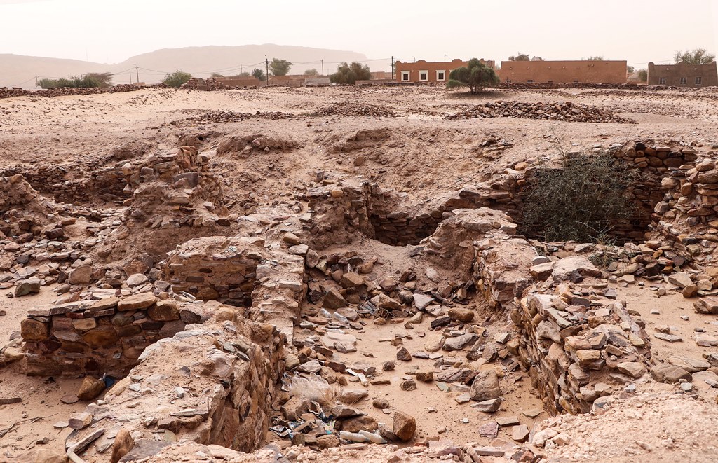
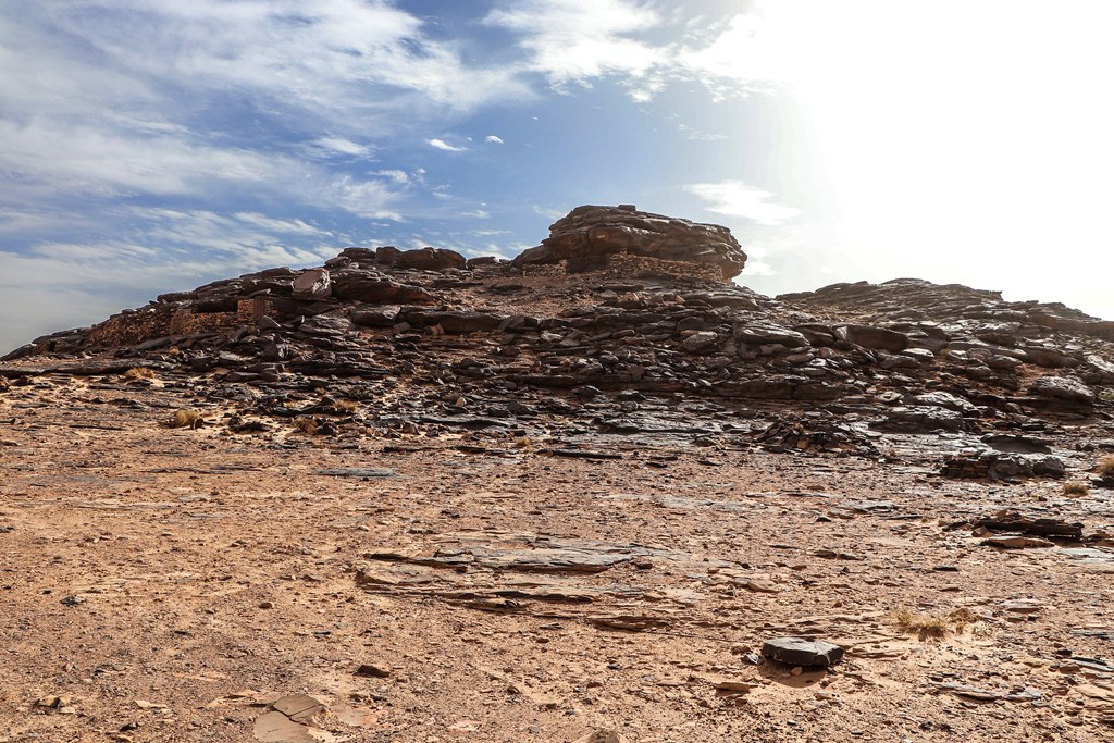
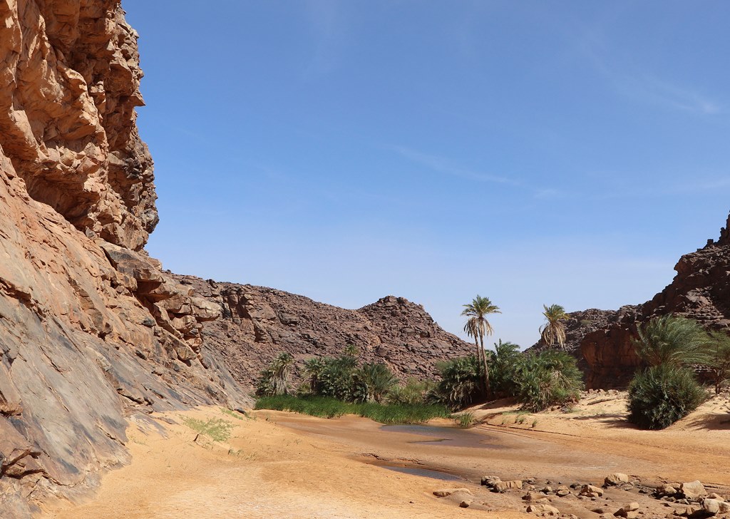
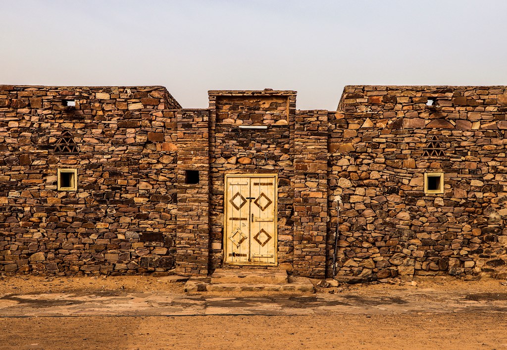
Azougui, located on the Adrar Plateau in north-western Mauritania, is an archaeological site of significant historical importance. In the 11th century, it served as the initial capital of the Almoravid dynasty, a Berber Sanhaja group whose influence extended from the Ghana Empire to the Iberian Peninsula. The site is characterized by a fortress built by Yannu ibn Umar, a notable strategic and defensive structure. Additionally, it features a necropolis associated with al-Imam al-Hadrami, highlighting its ritual significance. Azougui's historical relevance is further underscored by its role as a key node on the trans-Saharan trade route and its earlier seventh-century rock carvings, which provide evidence of long-standing human occupation. Recognized on the UNESCO World Heritage Tentative List, Azougui offers insight into the socio-political and economic dynamics of the region during the Late Post-Classical Period.
Gallery
Explore photographs of ancient structures, artifacts, and archaeological excavations
Historical Timeline
Journey through time and discover key events in this site's history
7th century rock carvings
7th century CE
11th century Almoravid capital
11th century CE
1056 Almoravid defeat at Tabfarilla
1056 CE
Archaeological Features
Unique architectural and cultural elements found at this historical site
Defensive Structures
Burial and Funerary Structures
Artistic and Decorative Features
Domestic and Habitation Structures
Frequently Asked Questions
Plan Your Visit
Tours, travel arrangements, and practical information
More Sites in Mauritania
Agrour Amogjar
Rock paintings in natural shelters on plateau.
Togba
Ruins of a town in Mauritania
Aoudaghost
Medieval Berber town with caravan trade.
Amazmaz
Isolated elevation with ancient rock paintings
Dhar Tichitt
Sandstone cliffs with Neolithic settlements
Ouadane
Ruined town with historic trade significance.