Explore the Map
Ollantaytambo
-13.2581° N, -72.2633° E
About
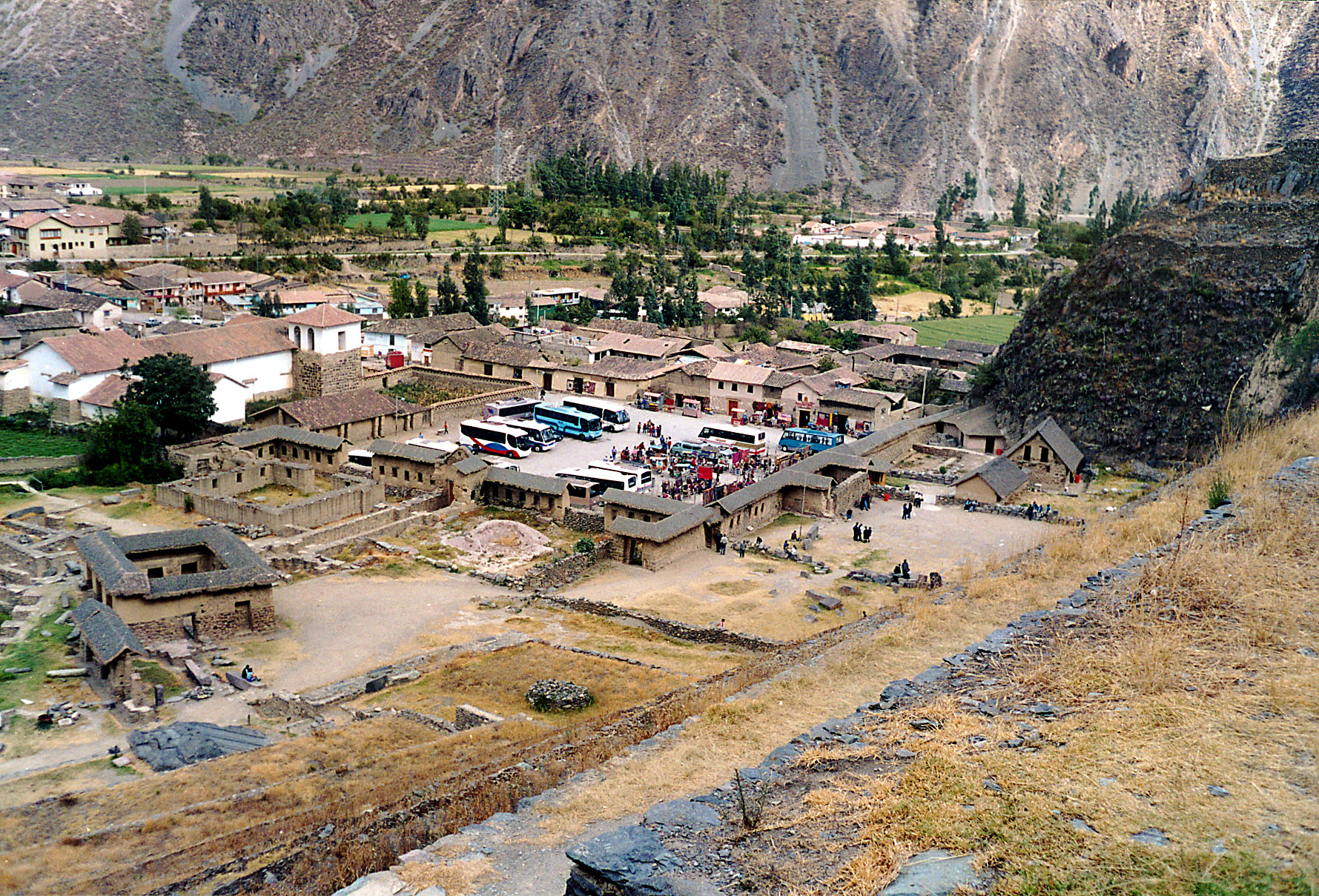
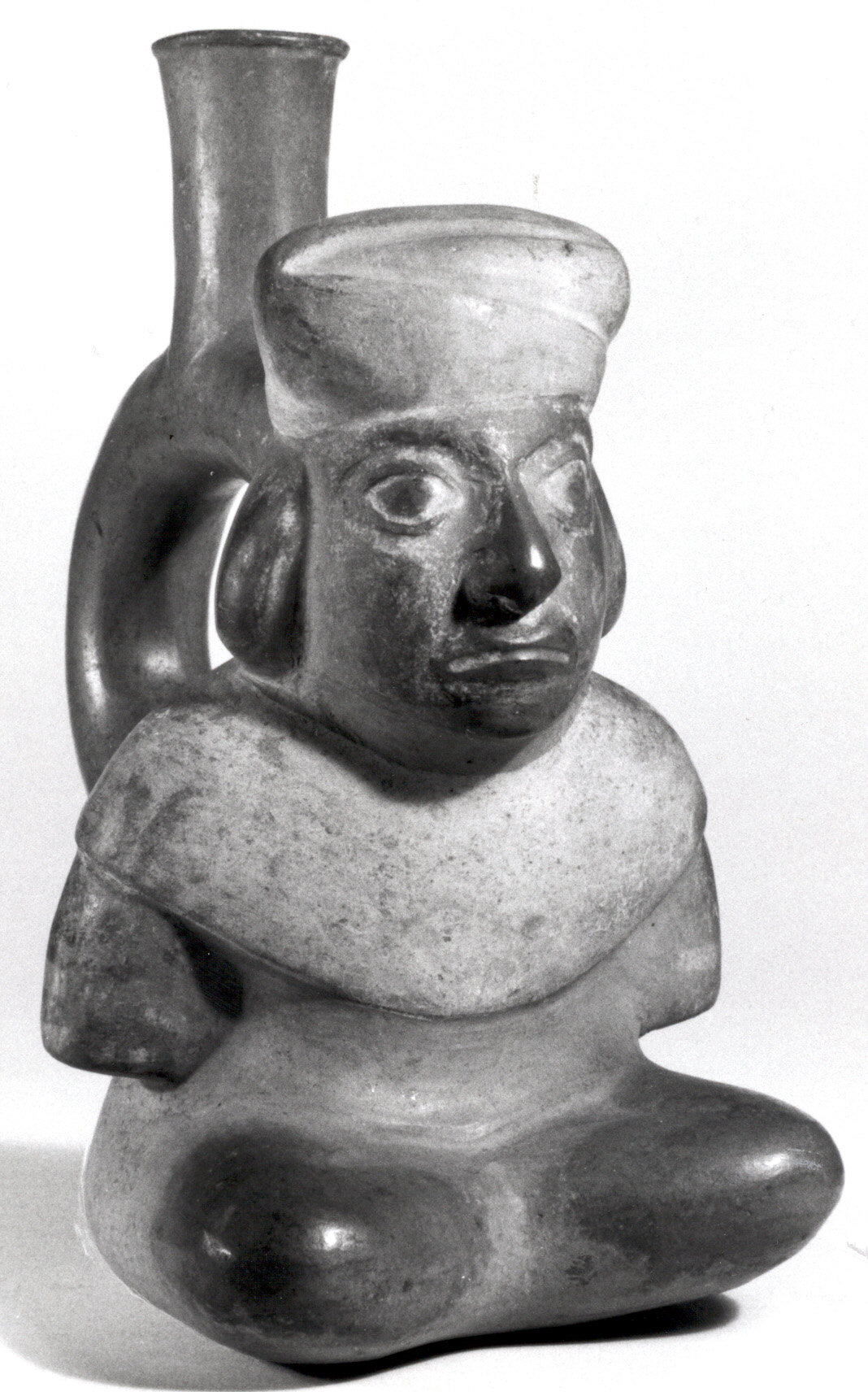
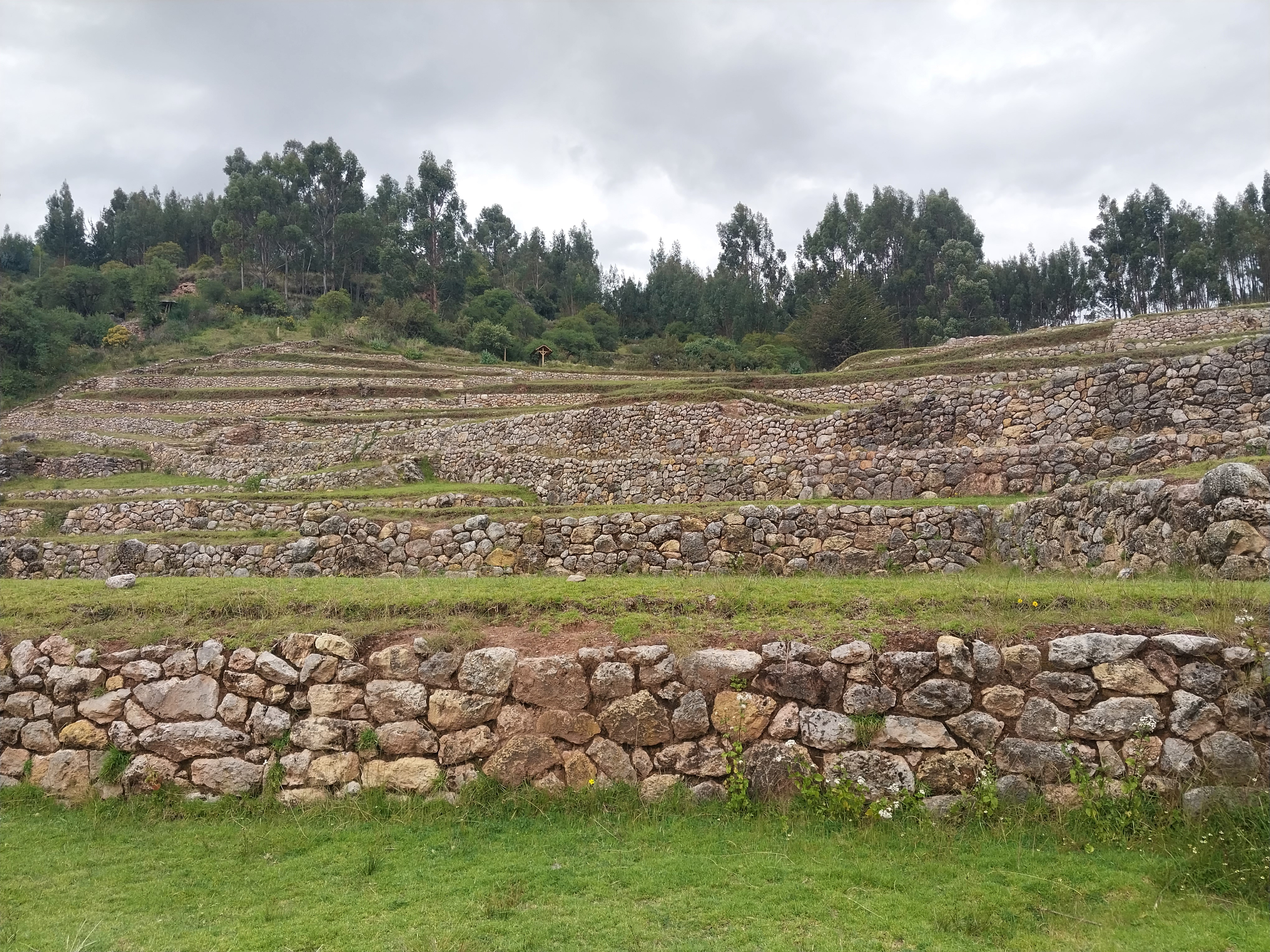
Ollantaytambo (Quechua: Ullantaytampu) is a town and an Inca archaeological site in southern Peru some 72 km (45 mi) by road northwest of the city of Cusco. It is located at an altitude of 2,792 m (9,160 ft) above sea level in the district of Ollantaytambo, province of Urubamba, Cusco region. During the Inca Empire, Ollantaytambo was the royal estate of Emperor Pachacuti, who conquered the region,: 73 and built the town and a ceremonial center. At the time of the Spanish conquest of Peru, it served as a stronghold for Manco Inca Yupanqui, leader of the Inca resistance. Located in the Sacred Valley of the Incas, it is now an important tourist attraction on account of its Inca ruins and its location en route to one of the most common starting points for the four-day, three-night hike known as the Inca Trail.
Gallery
Explore photographs of ancient structures, artifacts, and archaeological excavations

Historical Timeline
Journey through time and discover key events in this site's history
Pachacuti conquest and rebuilding
mid-15th century
Foundation and urban development
late 15th century
Manco Inca withdrawal to Vilcabamba
16th century
Battle of Ollantaytambo
1536
Encomienda assignment
1540
19th-century exploration
19th century
Hiram Bingham visit
1911
Archaeological Features
Unique architectural and cultural elements found at this historical site
Storage Structures
Defensive Structures
Military Installations
Water Management Features
Public and Civic Structures
Burial and Funerary Structures
Religious and Ritual Structures
Artistic and Decorative Features
Agricultural and Land Use Features
Domestic and Habitation Structures
Environmental and Natural Features
Transportation and Communication Structures
Frequently Asked Questions
Plan Your Visit
Tours, travel arrangements, and practical information


More Sites in Peru
La Centinela
Adobe pyramids in Chincha Valley, Peru.
Machu Pirqa
Ancient Chachapoyas wall in Peru.
Inkilltambo
Ancient Peruvian site with cultivated terrain.
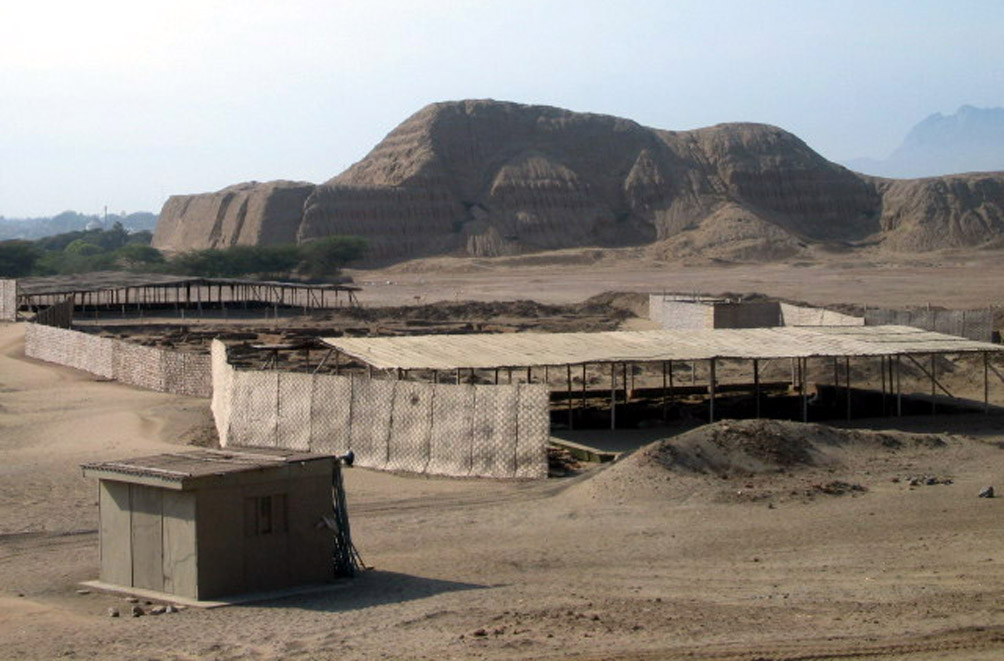
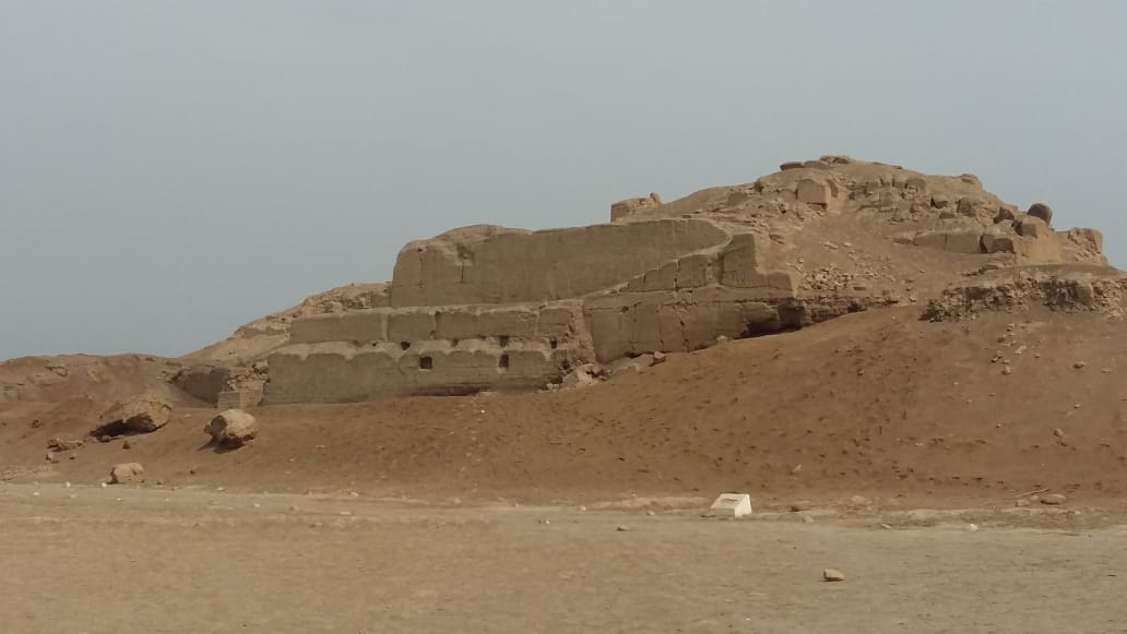
Huaca del Sol
Largest pre-Columbian adobe pyramid in Peru

Markapukyu
Peruvian high-altitude archaeological site.

Taqrachullu
Rocky confluence site with cultural heritage.