Explore the Map
Chrobry fortified village in Szprotawa
51.5575° N, 15.5175° E
About
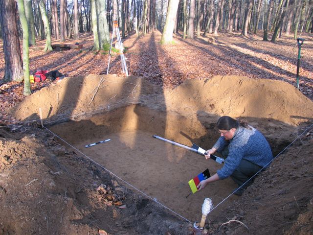
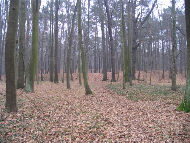
The Chrobry fortified village, located near Szprotawa in Lower Silesia, Poland, is a significant archaeological earthwork and historical monument. Named after Bolesław I the Brave, the first crowned ruler of Poland, this site comprises a large, polygonal plateau measuring approximately 4 hectares. The plateau is elevated 6 meters above its surroundings, with steep, regular edges, nestled between a bog and a marsh, partially dried out today. The structure, known as 'Nun Bush Hill' before 1945, is believed to date back to the medieval period, though the exact timeline of its construction or habitation remains uncertain. Recent archaeological findings suggest it may have been an incomplete or briefly inhabited medieval fortification. Recognized for its historical importance, the site is now protected, attracting interest for its impressive scale and strategic location.
Gallery
Explore photographs of ancient structures, artifacts, and archaeological excavations

Historical Timeline
Journey through time and discover key events in this site's history
Medieval Occupation
1000 CE - 1100 CE
Archaeological Features
Unique architectural and cultural elements found at this historical site
Defensive Structures
Environmental and Natural Features
Frequently Asked Questions
Plan Your Visit
Tours, travel arrangements, and practical information
More Sites in Poland
Grodzisko in Sopot
Medieval fortified settlement with reconstructed structures.
Ostrów Lednicki
Piast-period fortified island site, Poland
Będzin Castle
Stone castle with medieval origins.
Pągów, Opole Voivodeship
Piast-era motte-and-bailey site, 13th–14th century Poland
Zantyr
Lost Teutonic Order castle and town.
Kłecko Hillfort (Grodzisko Barbara)
Oval-shaped medieval hillfort with embankments.