Island of Saint-Louis
<p>Founded as a French colonial settlement in the 17th century, Saint-Louis was urbanised in the mid-19th century. It was the capital of Senegal from 1872…
Explore the Map
Island of Saint-Louis
16.0278° N, -16.5044° E
About
<p>Founded as a French colonial settlement in the 17th century, Saint-Louis was urbanised in the mid-19th century. It was the capital of Senegal from 1872 to 1957 and played an important cultural and economic role in the whole of West Africa. The location of the town on an island at the mouth of the Senegal River, its regular town plan, the system of quays, and the characteristic colonial architecture give Saint-Louis its distinctive appearance and identity.</p>
Plan Your Visit
Tours, travel arrangements, and practical information
Details
Senegal
16.03° N, -16.50° E
More Sites in Senegal
Bassari Country: Bassari, Fula and Bedik Cultural Landscapes
<p>The site, located in south-east Senegal, includes three geographical areas: the Bassari–Salémata area, the Bedik–Bandafassi area and the Fula–Dindéfello…
Saloum Delta
<p>Fishing and shellfish gathering have sustained human life in the 5,000 km2 property, which is formed by the arms of three rivers. The site comprises…
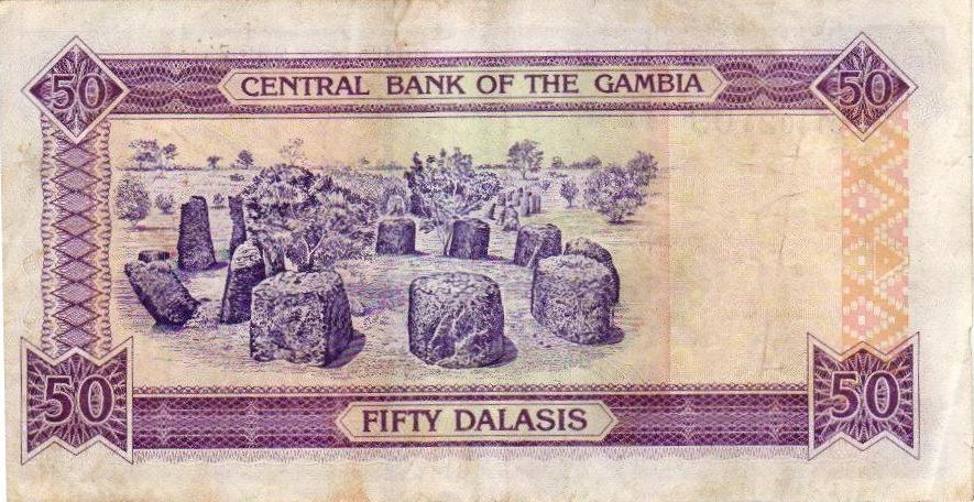
Senegambian stone circles
Extensive megalithic stone circles in Senegambia.