Explore the Map
Engaruka
-2.9830° N, 35.9500° E
About
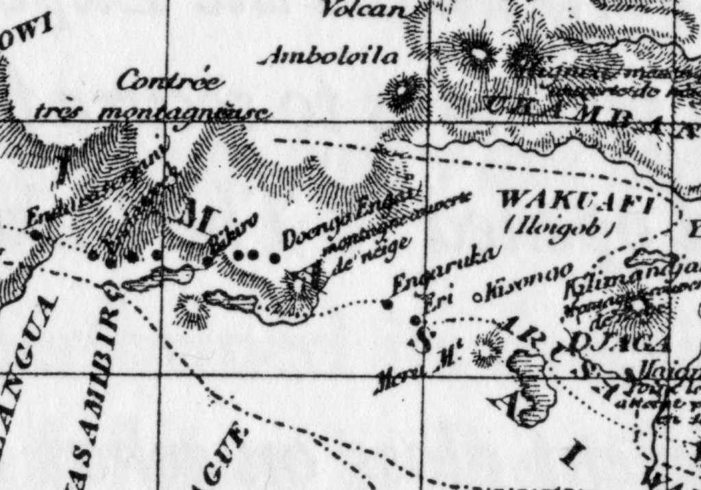
Engaruka is an abandoned system of ruins located in northwest Monduli District in central Arusha Region. The site is in geographical range of the Great Rift Valley of northern Tanzania. Situated in the Monduli District, it is famed for its irrigation and cultivation structures. It is considered one of the most important Iron Age archaeological sites in Tanzania. The site is located in the ward of Engaruka. The site is registered as one of the National Historic Sites of Tanzania.
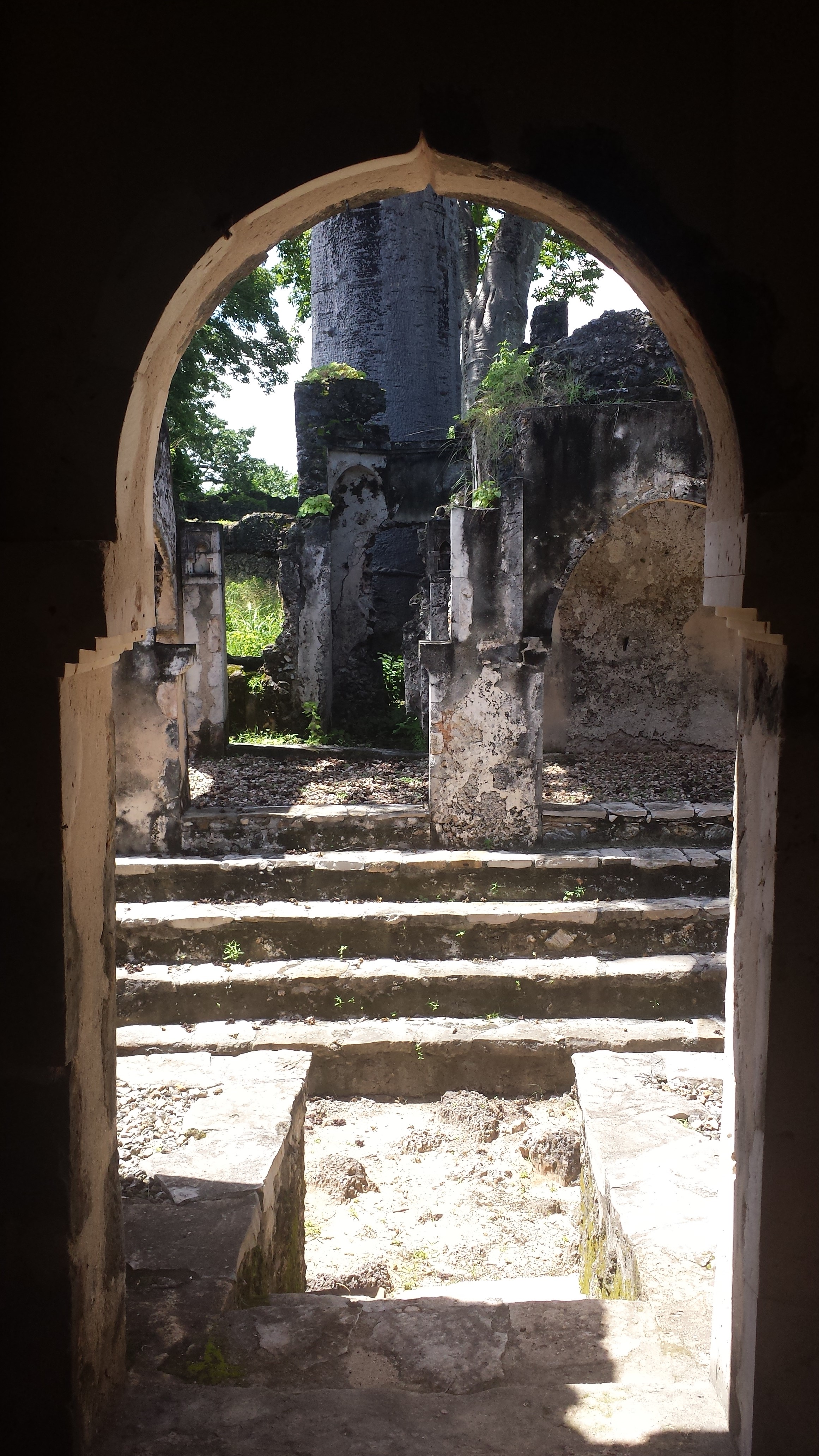
Gallery
Explore photographs of ancient structures, artifacts, and archaeological excavations

Historical Timeline
Journey through time and discover key events in this site's history
First European record
5 July 1883
Construction of settlement
15th century
Desertion of Engaruka
c. 1700–1750
Scoeller and Kaiser report
1896–1897
Hans Reck investigation
1913
Leakey fieldwork
1935
Recent academic studies
2001–2006
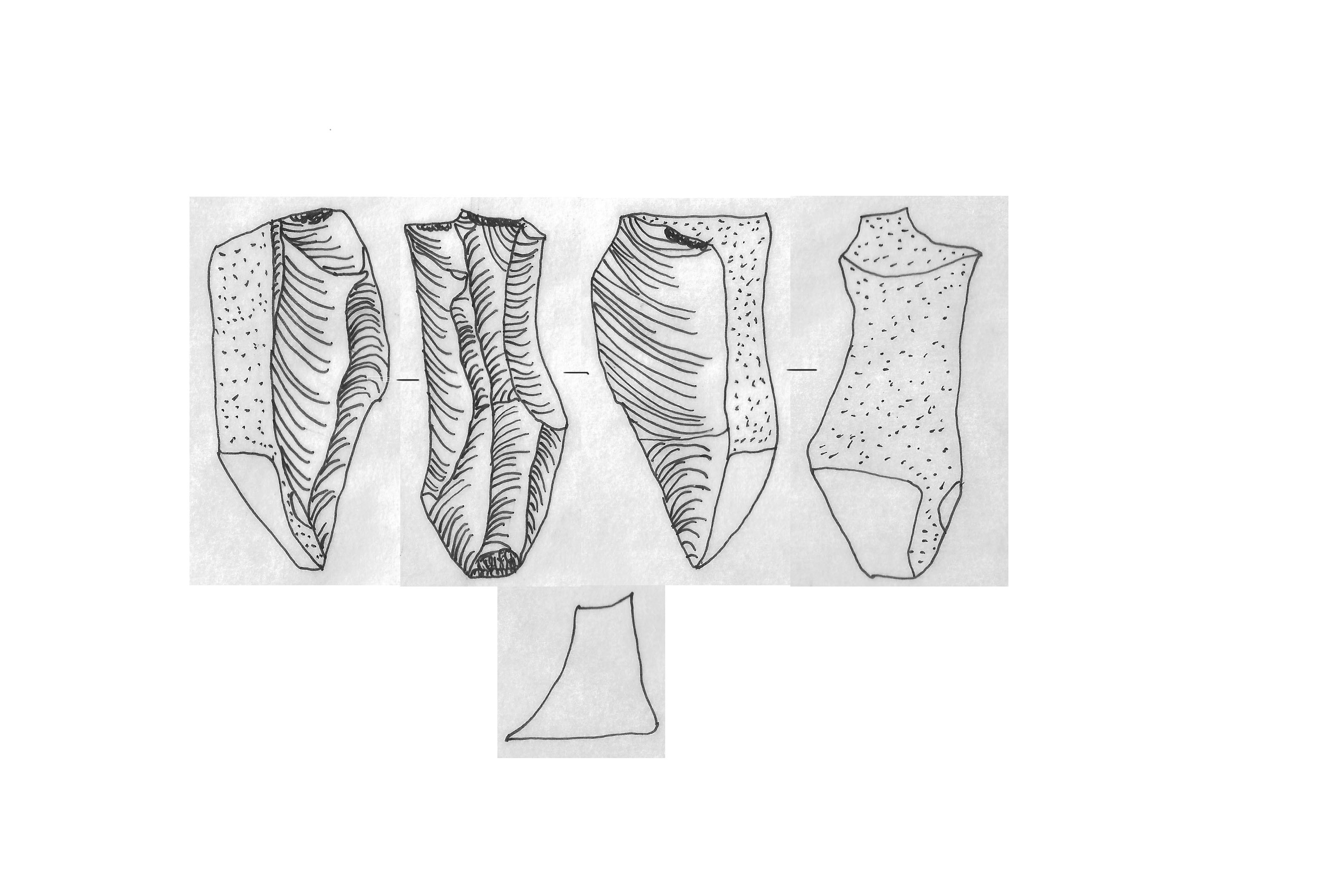
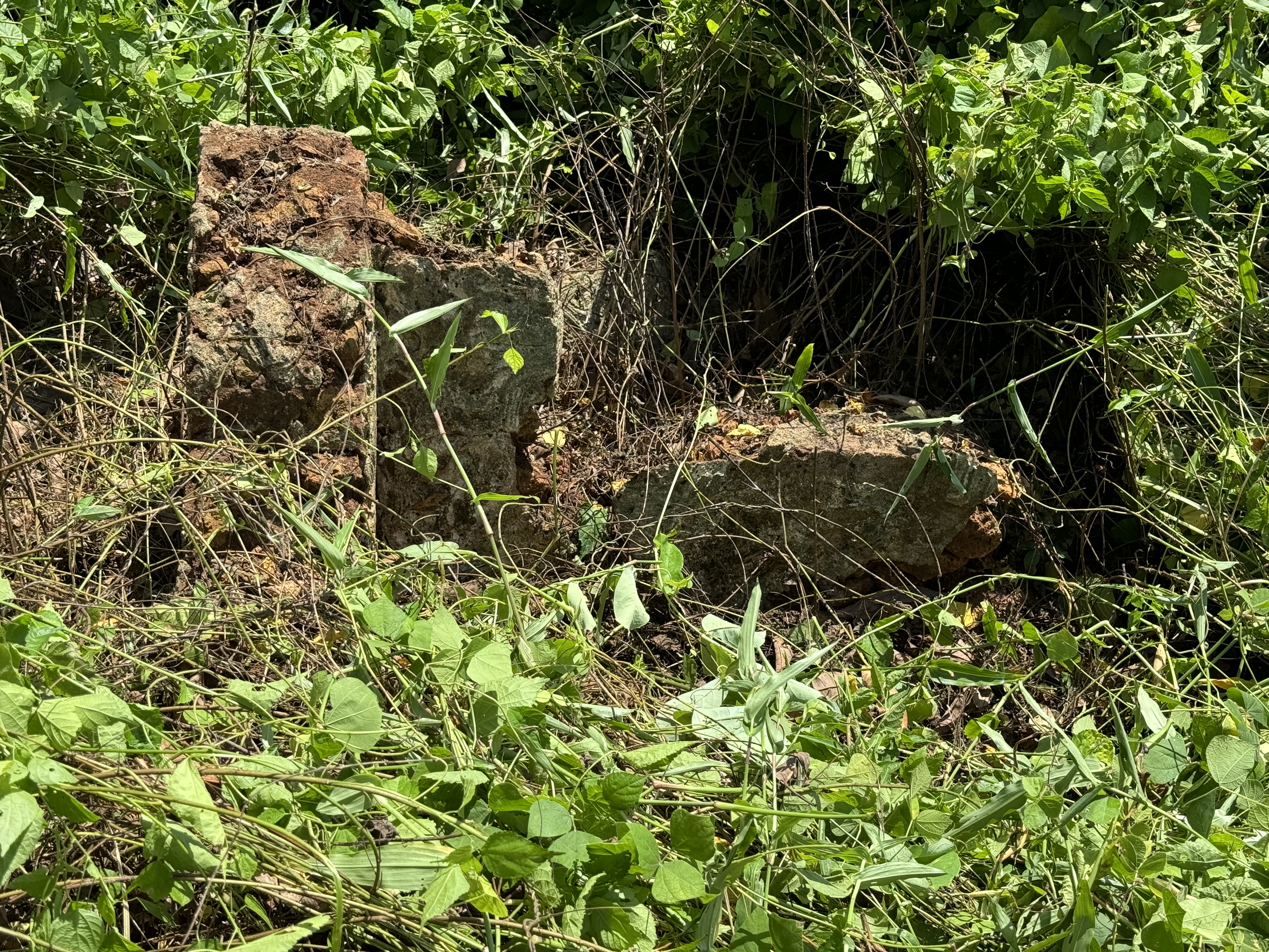
Archaeological Features
Unique architectural and cultural elements found at this historical site
Animal Husbandry Features
Water Management Features
Artistic and Decorative Features
Agricultural and Land Use Features
Domestic and Habitation Structures
Environmental and Natural Features
Frequently Asked Questions
Plan Your Visit
Tours, travel arrangements, and practical information
More Sites in Tanzania
Mumba Cave
Transitional Middle to Late Stone Age cave
Kivinje
Medieval Swahili settlement and 19th-century buildings, Tanzania

Tanga Island
Uninhabited island with medieval ruins
Muhembo
Unexcavated Swahili ruins with mosque and tombs
Songo Mnara
Medieval Swahili stone town on island
Yambe Island
Unexcavated medieval Swahili ruins on island.