Explore the Map
Cremna
37.5001° N, 30.6911° E
About
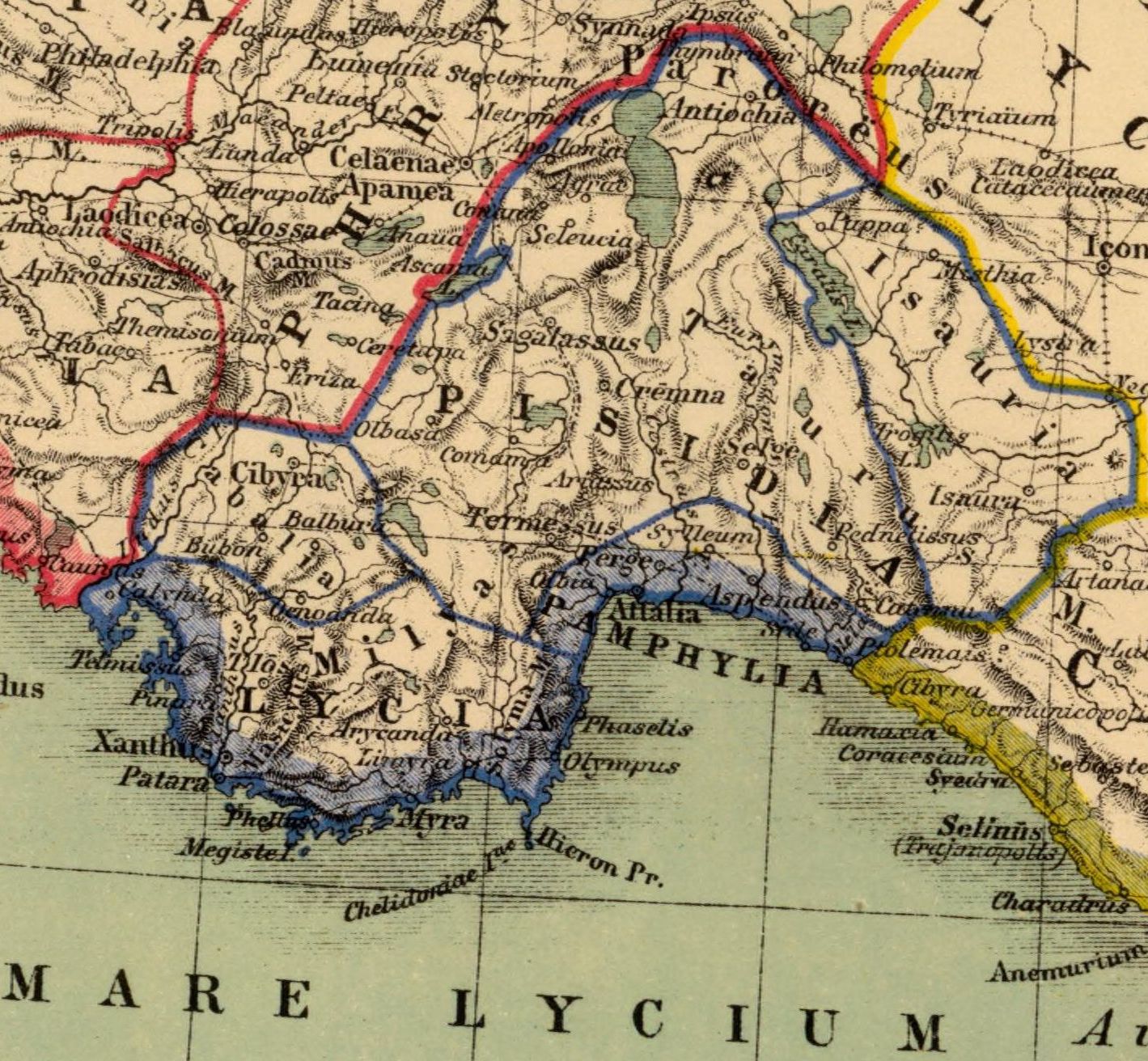
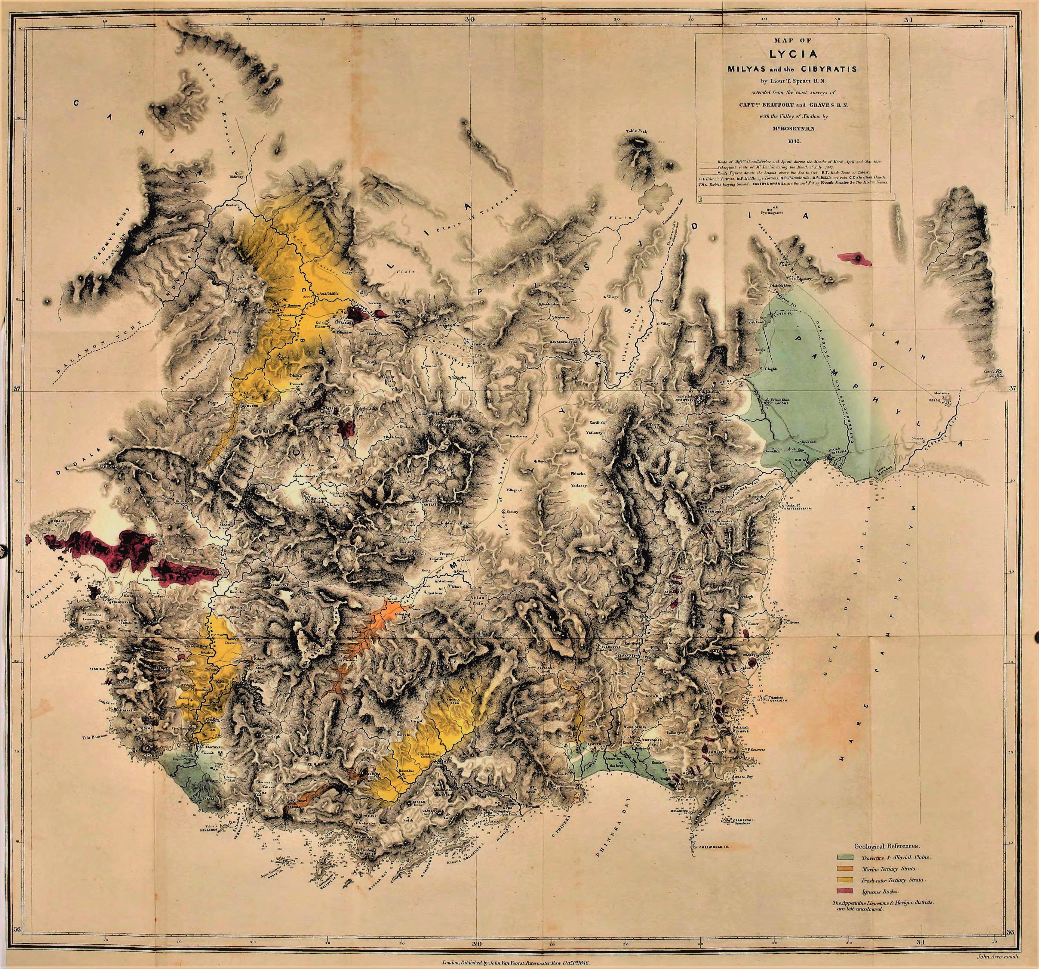
Cremna or Kremna (Ancient Greek: Κρῆμνα), was an ancient town in Pisidia. It is situated in the district of Bucak. It stands in a remote valley on a high plateau dominating the ancient Cestrus River (today Aksu), with limited access and good defensive features. It was first taken by Amyntas, commander of the Galatian auxiliary army of Brutus and Cassius, who became king of Galatia and Pisidia on going over to the side of Mark Antony. Octavian allowed him to remain king until his death in 25 BC. After this, it became a Roman colony, as Strabo says; and there are imperial coins with the epigraph COL. IVL. AVG. CREMNA, which stands for Colonia Iulia Augusta [Felix] Cremnena. Its first coins appear to have been minted under Hadrian. Ptolemy mentions the Cremna Colonia, and according to him it is in the same longitude as Sagalassus. Its water supply posed particular problems and the aqueduct had to include complex and novel solutions. The donatio given by the emperor Aurelian (270–275) promised a period of great prosperity for Cremna; but in 276, the town was taken by an Isaurian robber, named Lydius, who used it as a base for looting the region, giving rise to the only visit of a Roman Emperor to the region, that of Marcus Claudius Tacitus. Later, the town was inserted in the Roman province of Pamphylia Secunda. The name of only one of its bishops is known: Theodorus, present at the Second Council of Nicaea in 787. No longer a residential bishopric, Cremna is today listed by the Catholic Church as a titular see. At some time in the high Middle Ages, the ancient site of the town was abandoned, the population transferring itself to the present village of Çamlık. The ancient site was identified in 1874 and excavations began in 1970.
Historical Timeline
Journey through time and discover key events in this site's history
Death of Amyntas
25 BC
Aurelian's donatio
270–275
Capture by Lydius
276
Bishop at Second Council of Nicaea
787
Site identification
1874
Excavations begin
1970
Archaeological Features
Unique architectural and cultural elements found at this historical site
Defensive Structures
Water Management Features
Religious and Ritual Structures
Artistic and Decorative Features
Domestic and Habitation Structures
Frequently Asked Questions
Plan Your Visit
Tours, travel arrangements, and practical information

More Sites in Turkey
Euromus
Ancient Carian city and temple, 6th century BCE
Blaundus
Hellenistic city ruins in western Anatolia, Turkey
Larissa Phrikonis
Aeolian city ruins in western Turkey
Lysinia
Ancient town in Pisidia, later Pamphylia.
Trocmades
Roman city and bishopric in Galatia, central Turkey
Melanippe (Lycia)
Ancient coastal town on Mount Phoenicus.