Explore the Map
Sulloniacis
51.6300° N, -0.3000° E
About
Sulloniacis or Sulloniacae was a mansio on the Roman road known as Watling Street in Roman Britain. Its existence is known from only one entry in the Antonine Itinerary, a listing of routes and facilities for the cursus publicus, the official courier service of the Roman Empire. Sulloniacis, which is recorded in Iter II (Itinerary II) for the route that ran between Portus Ritupis (Richborough, Kent) and Deva Victrix (Chester, Cheshire), was nine Roman miles from Verulamium (St Albans) and 12 from Londinium (London). Roman remains found at Brockley Hill near Edgware in the London Borough of Barnet have been identified as those of Sulloniacis.
Historical Timeline
Journey through time and discover key events in this site's history
Peak pottery production
Late 1st century AD
Occupation begins
AD 60
Mention in Antonine Itinerary
2nd century AD
Pottery production ends
AD 160
Domestic settlement persists
4th century AD
Modern research begins
1937
Archaeological Features
Unique architectural and cultural elements found at this historical site
Water Management Features
Industrial and Craft Structures
Domestic and Habitation Structures
Environmental and Natural Features
Transportation and Communication Structures
Frequently Asked Questions
Plan Your Visit
Tours, travel arrangements, and practical information


More Sites in United Kingdom
Sussex Greensand Way
Roman road in Sussex, United Kingdom
Blestium
Roman fort and ironworks, Monmouth, Wales
Uffington Castle
Iron Age hillfort in Oxfordshire, England
Crofton Pumping Station
Steam-era pumping station in Wiltshire, United Kingdom
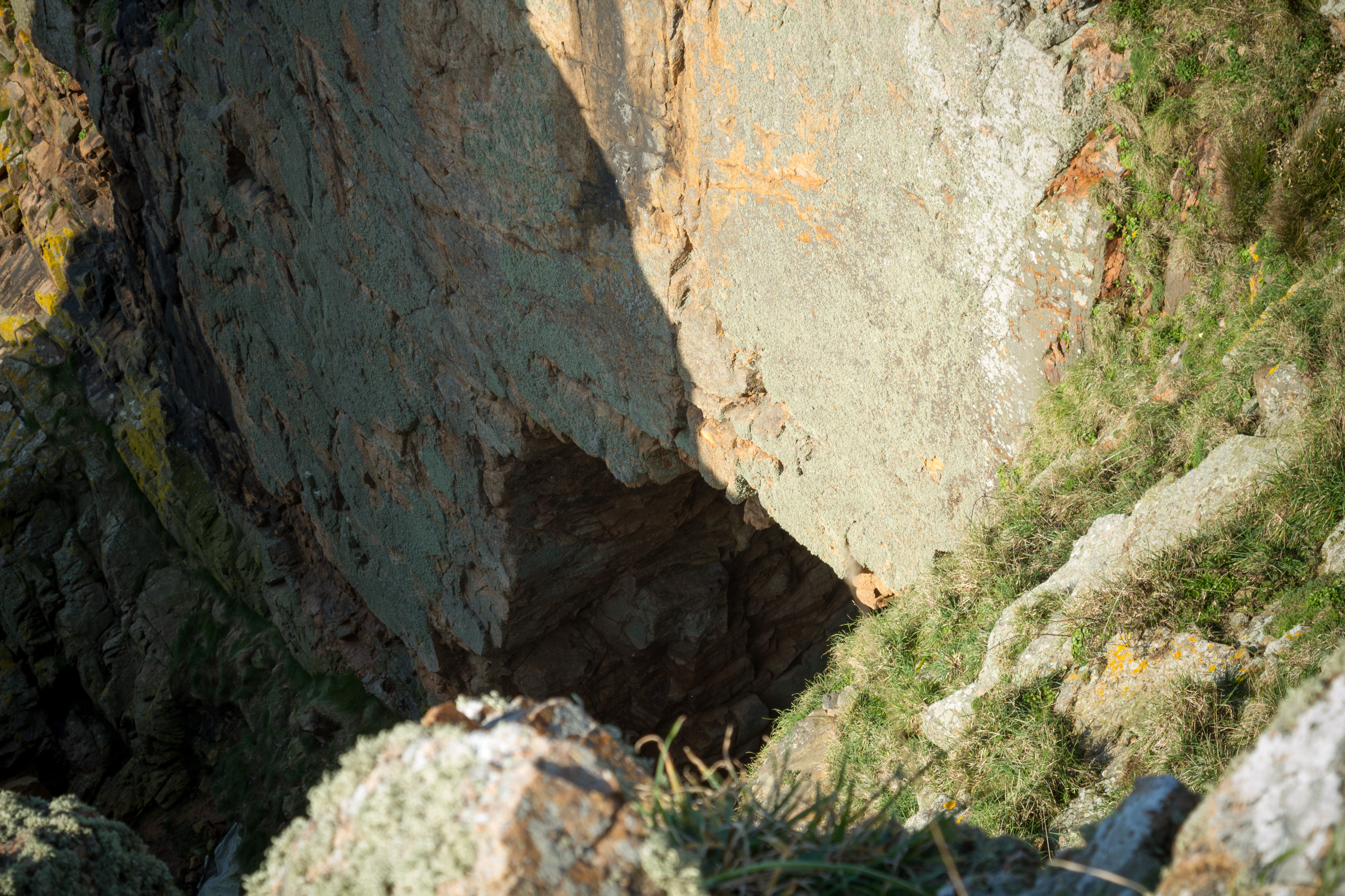
La Cotte de St Brelade
Paleolithic cave site with Neanderthal artifacts
Hawk Stone
Neolithic standing stone, Oxfordshire, UK