Qhapaq Ñan, Andean Road System
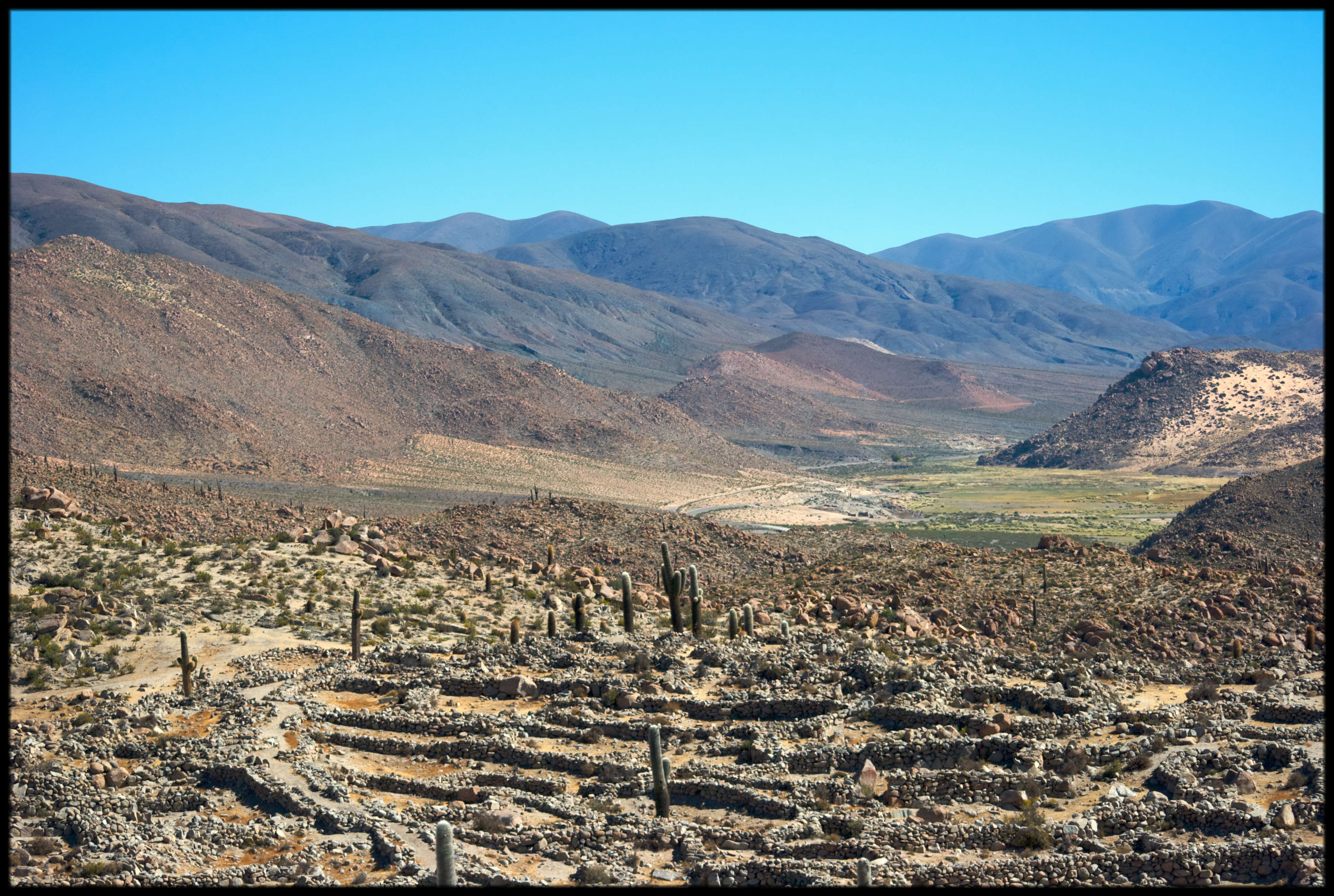
<p>This site is an extensive Inca communication, trade and defence network of roads covering 30,000 km. Constructed by the Incas over several centuries and…
Explore the Map
Qhapaq Ñan, Andean Road System
-0.0500° N, -78.2000° E
About
<p>This site is an extensive Inca communication, trade and defence network of roads covering 30,000 km. Constructed by the Incas over several centuries and partly based on pre-Inca infrastructure, this extraordinary network through one of the world’s most extreme geographical terrains linked the snow-capped peaks of the Andes – at an altitude of more than 6,000 m – to the coast, running through hot rainforests, fertile valleys and absolute deserts. It reached its maximum expansion in the 15th century, when it spread across the length and breadth of the Andes. The Qhapac Ñan, Andean Road System
Plan Your Visit
Tours, travel arrangements, and practical information
Details
Argentina
-0.05° N, -78.20° E
More Sites in Argentina
Nombre de Jesús (Patagonia)
Spanish colonial town ruins, 16th-century Patagonia

Ruins of Quilmes
Largest pre-Columbian settlement in Argentina
Tastil
Sandstone city with labyrinthine layout, plazas.

Los Toldos (Santa Cruz)
Ancient habitation site with archaeological strata.
Gruta del Indio
Rock shelter with human and mega-fauna remains
Talampaya National Park
Desert landscapes with archaeological sites