Croatia
Cetina
Time Periods
Paleolithic
Paleolithic
Mesolithic
Mesolithic
Neolithic
Neolithic
Chalcolithic
Chalcolithic
Bronze Age
Bronze Age
Iron Age
Iron Age
Classical Period
Classical Period
Post-Classical Period
Post-Classical Period
Early Modern Period
Early Modern Period
Industrial Period
Industrial Period
Contemporary Period
Contemporary Period
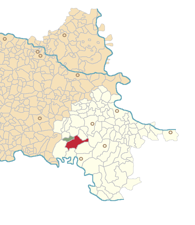
Location
About
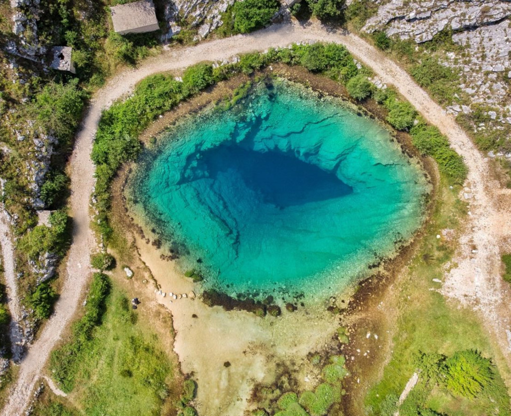
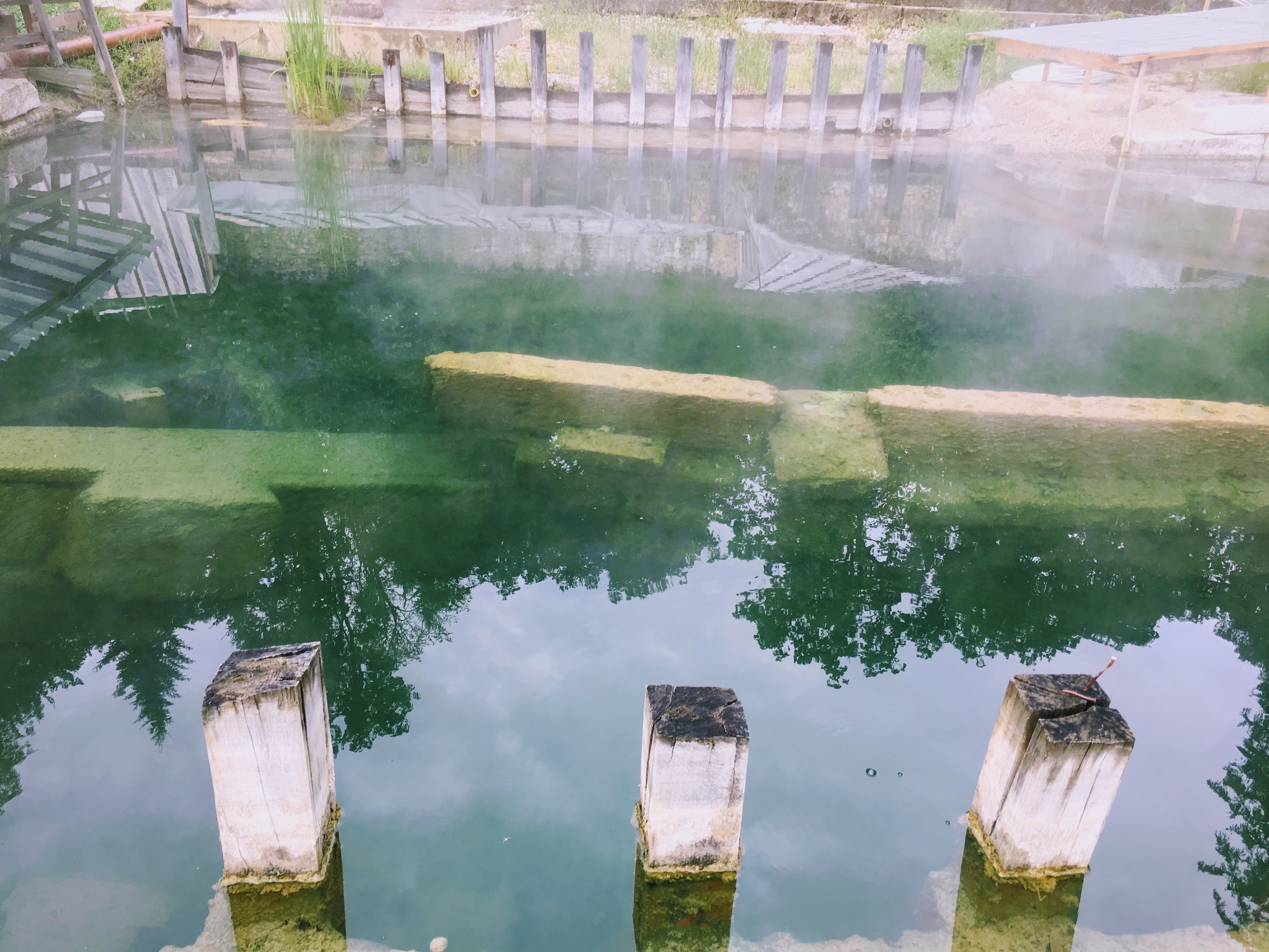
The Cetina (pronounced [tsětina]) is a river in southern Croatia. It has a length of 101 km (63 mi) and its basin covers an area of 1,463 km2 (565 sq mi). From its source, Cetina descends from an elevation of 385 metres (1,263 ft) above sea level to the Adriatic Sea. It is the most water-rich river in Dalmatia.
Gallery
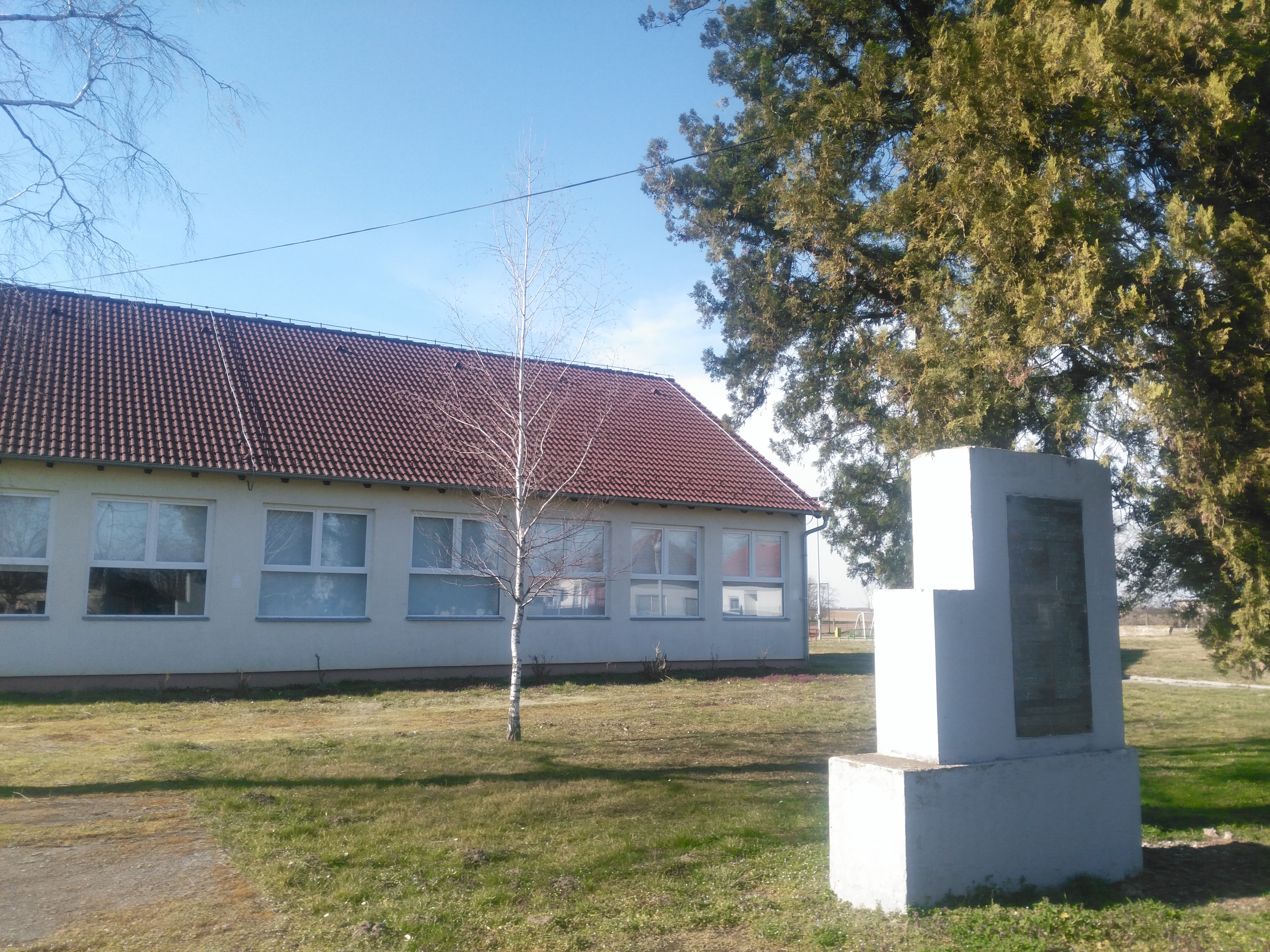
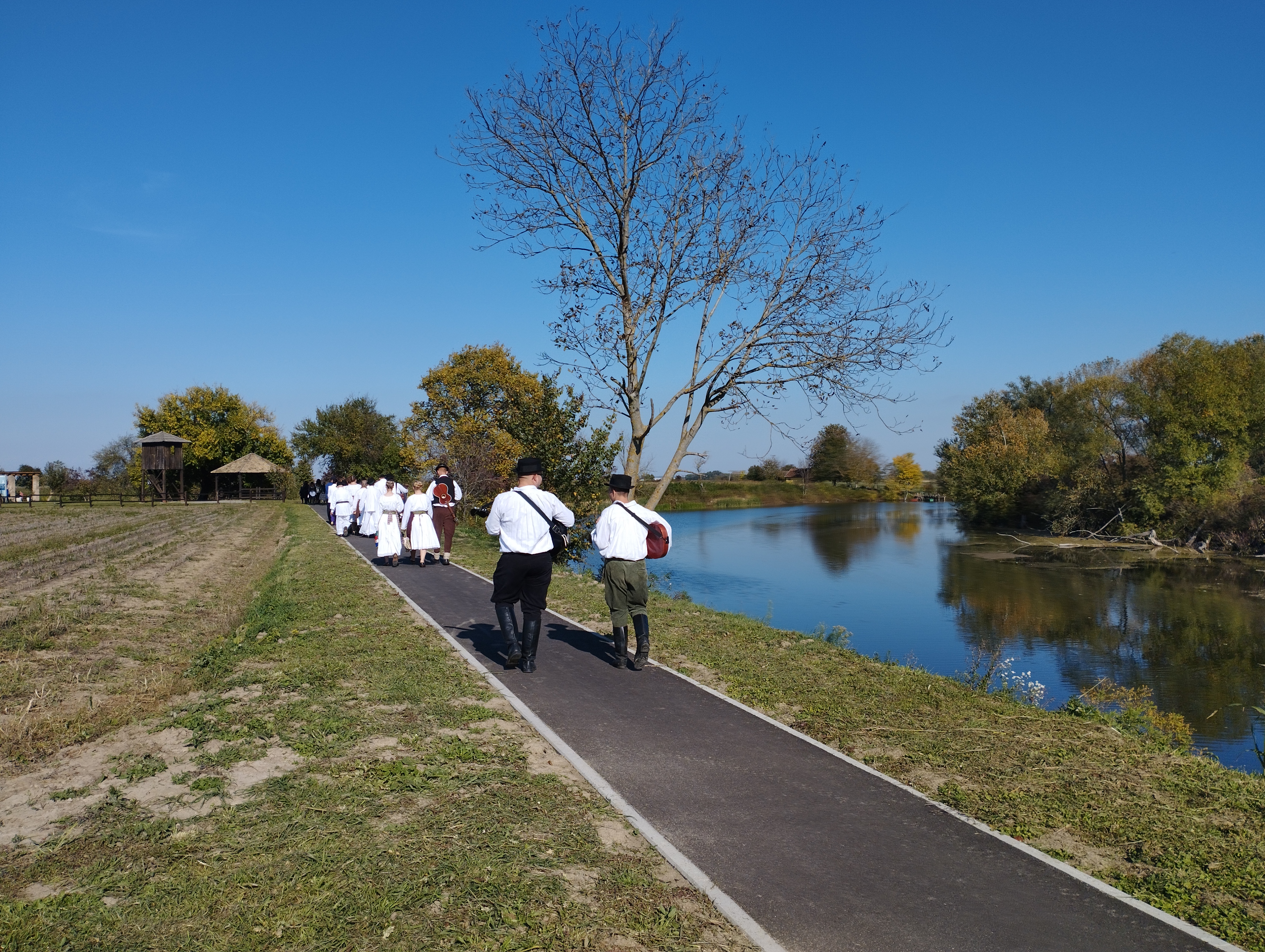
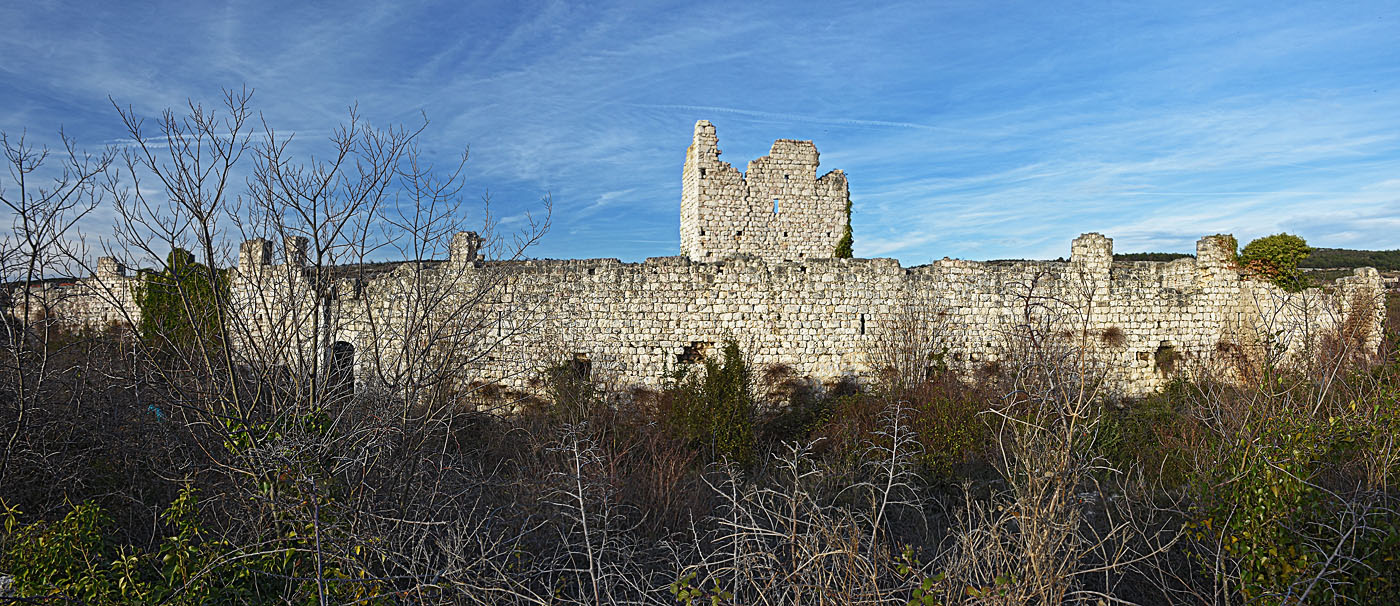
Explore photographs of ancient structures, artifacts, and archaeological excavations at Cetina


Plan Your Visit
Details
- Country
- Croatia
- Source
- Wikipedia
More Sites in Croatia
Orolik
Iron Age Scordisci settlement in Croatia
Sotin
Scordisci site with La Tène cultural artifacts.
Cerna, Croatia
Scordisci settlement site in La Tène culture
Peruća Lake
Peruća Lake
Explore this archaeological site.
Aquae Iasae
Roman settlement and bath complex in Croatia
Vrana, Zadar County
Historic settlement with medieval religious influence.
Time Periods
Paleolithic
Paleolithic
Mesolithic
Mesolithic
Neolithic
Neolithic
Chalcolithic
Chalcolithic
Bronze Age
Bronze Age
Iron Age
Iron Age
Classical Period
Classical Period
Post-Classical Period
Post-Classical Period
Early Modern Period
Early Modern Period
Industrial Period
Industrial Period
Contemporary Period
Contemporary Period