Explore the Map
Cemetery GIS
29.9761° N, 31.1328° E
About
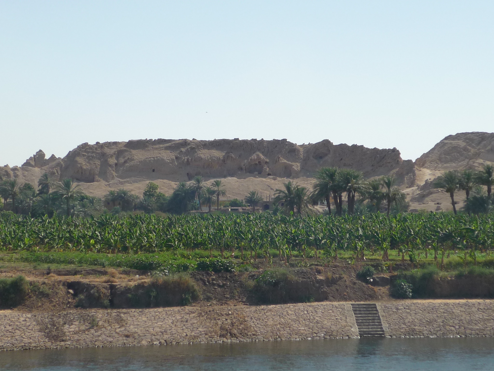
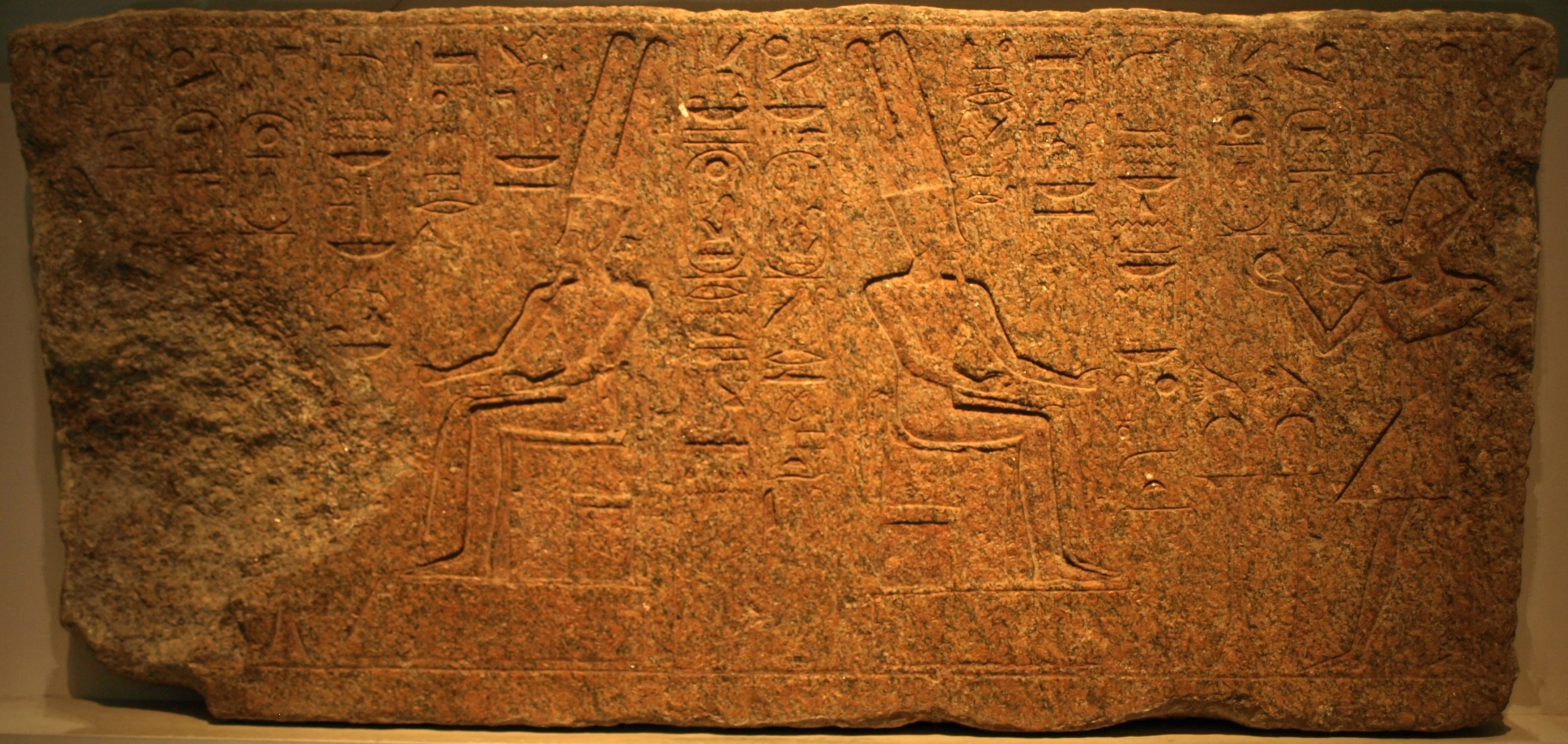
The Cemetery GIS is a significant necropolis located on the Giza Plateau, south of Khufu's pyramid. It is known for its collection of stone mastabas, which primarily date back to the reign of Menkaure, a pharaoh of the 4th Dynasty, around 2490 BCE. The cemetery is thought to have been constructed following the mastaba G 7070 of Sneferukhaf and possibly extended into Khafre's reign. The presence of granite powder suggests ties to the dressing of the second pyramid at Giza. Additionally, some mastabas in the cemetery were constructed as late as the 6th Dynasty, indicating continued use and importance. Notable burials include royal and noble individuals such as Khaemnefert, Khufudjedef, and Niankhre, highlighting its prominence as a burial site for significant figures of the period.
Historical Timeline
Journey through time and discover key events in this site's history
Menkaure reign cemetery construction
2490 BCE
6th Dynasty mastabas construction
2323 BCE
Archaeological Features
Unique architectural and cultural elements found at this historical site
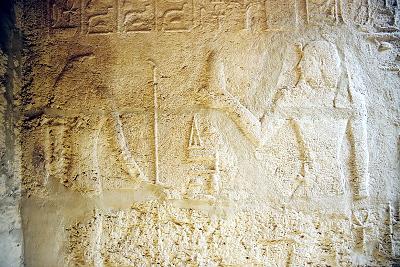
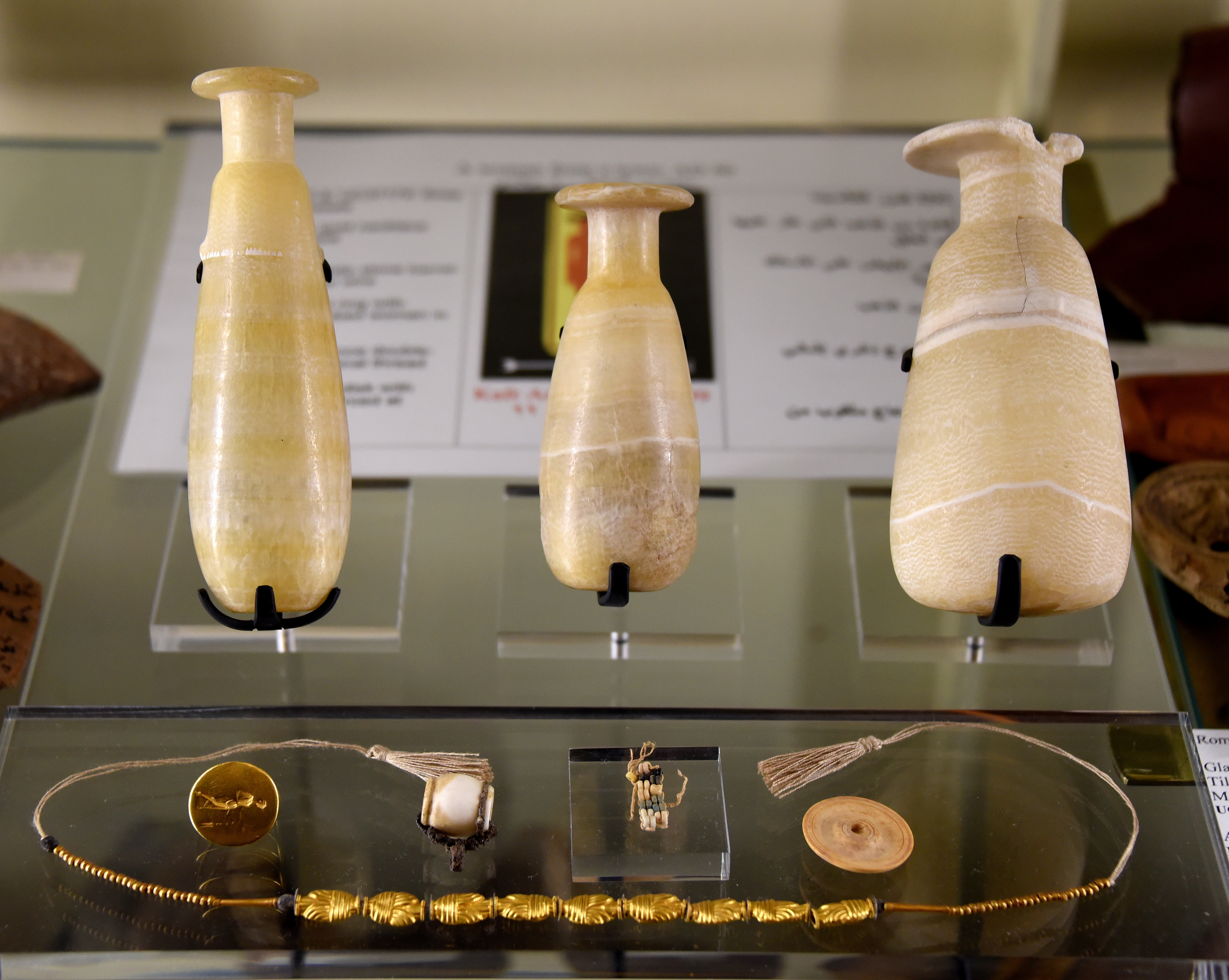
Burial and Funerary Structures
Frequently Asked Questions
Plan Your Visit
Tours, travel arrangements, and practical information


More Sites in Egypt
Gebelein
Archaeological site with mummies and temple ruins
Medinet Madi
Greco-Roman town with Middle Kingdom temple
Tarkhan (Egypt)
Ancient Egyptian necropolis with mastabas and tombs.
Bubastis
Ancient Egyptian city with Bastet temple
Buhen
Ancient Egyptian fortress with copper smelting.
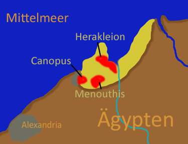
Canopus, Egypt
Submerged ancient Egyptian coastal town ruins