Explore the Map
Joya de Cerén
13.8275° N, -89.3561° E
About
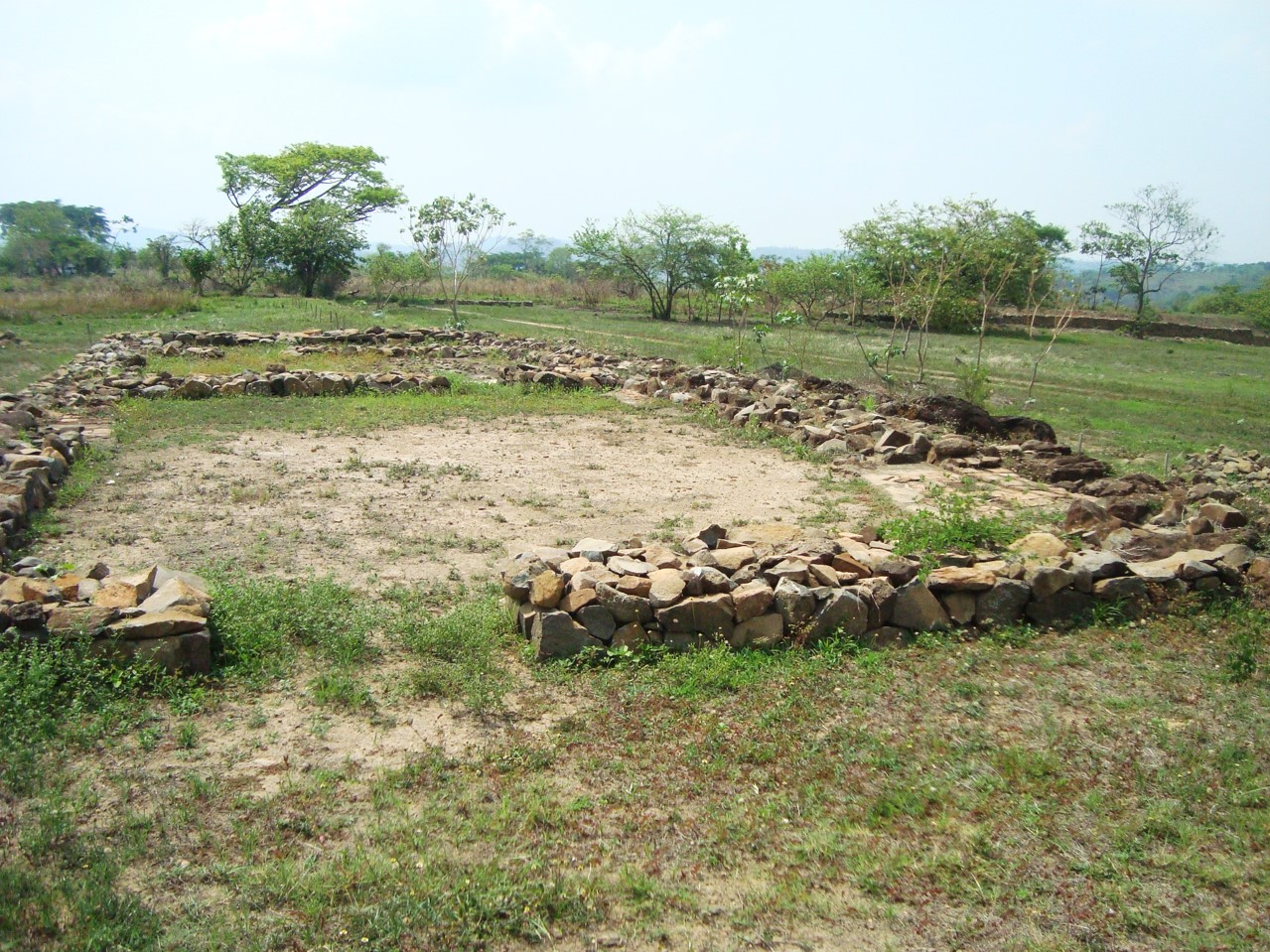
Joya de Cerén (Jewel of Cerén in the Spanish language) is an archaeological site in La Libertad Department, El Salvador, featuring a pre-Columbian Maya farming village. The ancient Maya site of Joya de Cerén is located in the Zapotitán Valley, 36 kilometers northwest of San Salvador, El Salvador. It is often referred to as the "Pompeii of the Americas", in comparison to the famed Ancient Roman ruins. This site is known for the excellent preservation of a Classic period settlement that was rapidly buried by the ashfall of an eruption of the Loma Caldera around AD 600. The relative abundance of paleoethnobotanical remains recovered at Joya de Cerén in comparison to other ancient Maya archaeological sites make Joya de Cerén particularly significant in the study of everyday life of ancient Maya agricultural communities. Of importance was the discovery of a manioc field, the first instance of manioc cultivation identified at a New World archaeological site. The site was thought to have been settled between AD 200 and AD 600. Joya de Cerén was inscribed on the UNESCO World Heritage List in 1993 for its archeological importance, and is a major tourist attraction in El Salvador.
Historical Timeline
Journey through time and discover key events in this site's history
Initial settlement
AD 200–AD 600
Volcanic burial
c. AD 600
Modern discovery
1976
Early excavations
1978–1980
Resumed excavation
1988
UNESCO inscription
1993
Archaeological Features
Unique architectural and cultural elements found at this historical site
Storage Structures
Miscellaneous Features
Public and Civic Structures
Industrial and Craft Structures
Religious and Ritual Structures
Artistic and Decorative Features
Agricultural and Land Use Features
Domestic and Habitation Structures
Environmental and Natural Features
Food Production and Processing Features
Frequently Asked Questions
Plan Your Visit
Tours, travel arrangements, and practical information
Recommended Tours


More Sites in El Salvador
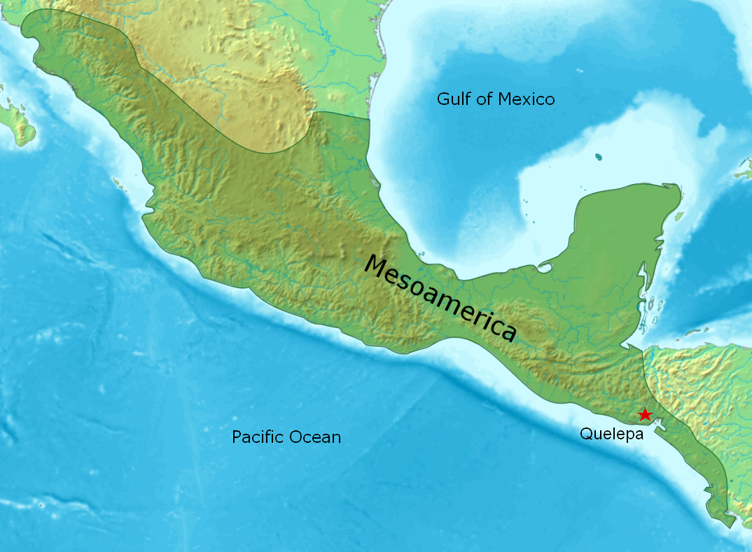
Quelepa
Ancient Lenca settlement with ceremonial platforms
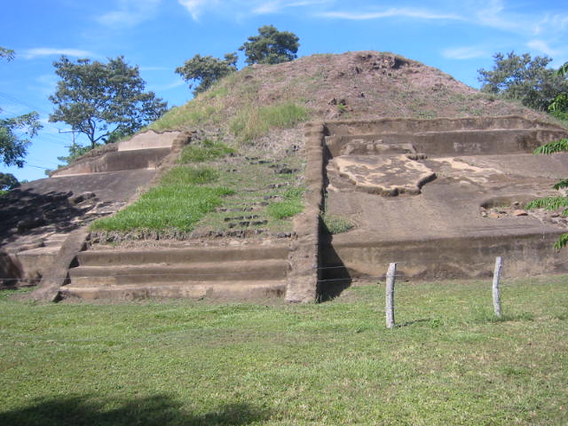
Casa Blanca, El Salvador
Pre-Columbian Maya site with pyramids
Cihuatán
Early Postclassic Mesoamerican city in central El Salvador
Cara Sucia (Mesoamerican site)
Late Classic Cotzumalhuapa cultural site
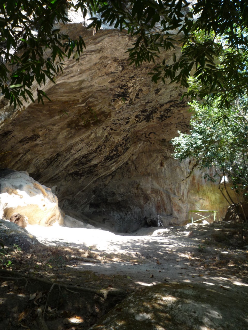
Holy Spirit Grotto
Volcanic cave with ancient petroglyphs
Ciudad Vieja, El Salvador
First San Salvador location, central El Salvador.