Frontiers of the Roman Empire
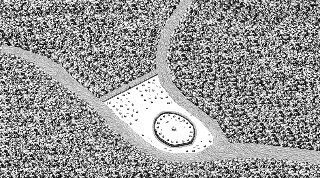
<p>The ‘Roman Limes’ represents the border line of the Roman Empire at its greatest extent in the 2nd century AD. It stretched over 5,000 km from the…
Explore the Map
Frontiers of the Roman Empire
48.7864° N, 9.7786° E
About
<p>The ‘Roman Limes’ represents the border line of the Roman Empire at its greatest extent in the 2nd century AD. It stretched over 5,000 km from the Atlantic coast of northern Britain, through Europe to the Black Sea, and from there to the Red Sea and across North Africa to the Atlantic coast. The remains of the Limes today consist of vestiges of built walls, ditches, forts, fortresses, watchtowers and civilian settlements. Certain elements of the line have been excavated, some reconstructed and a few destroyed. The two sections of the Limes in Germany cover a length of 550 km from the north-
Plan Your Visit
Tours, travel arrangements, and practical information
Details
Germany
48.79° N, 9.78° E
More Sites in Germany
Liubice
Medieval Slavic settlement with fortifications.
Circular rampart of Burg
10th-century circular earthwork defensive structure
Burgstall Schlosshügel
Early medieval motte (burgstall), Upper Franconia, Germany

Teufelsstein (Haardt)
Monolith with Celtic and Roman carvings
Utin (castle)
9th-century Wendish castle on island
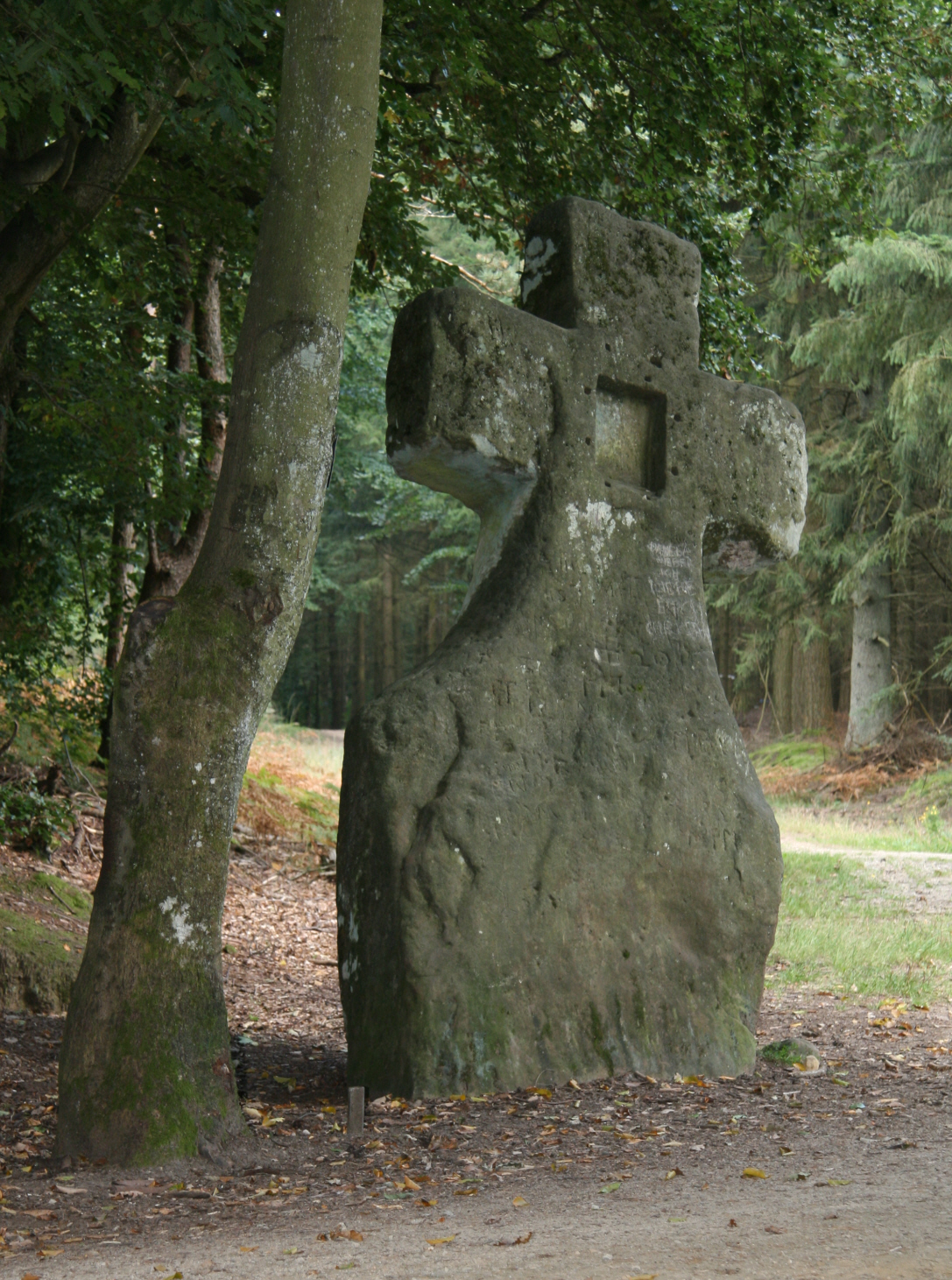
Fraubillen cross
Resculpted menhir into a Christian cross