Explore the Map
El Pilar
17.2567° N, -89.1553° E
About
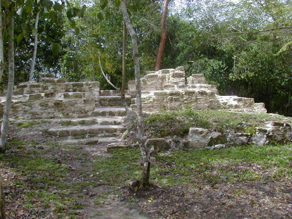
El Pilar is a significant ancient Maya city that straddles the modern-day border between Belize and Guatemala. Covering approximately 120 acres, it is the largest Maya site in the Belize River area, boasting over 25 plazas and numerous major structures. The city was established during the Middle Preclassic period around 800 BCE and flourished into the Late Classic period, with its population peaking at over 180,000. Notable features include extensive civic and residential areas, as well as a sophisticated causeway system connecting different parts of the site. In addition to its monumental architecture, El Pilar is unique for its integration with the surrounding environment, illustrated by the forest gardens maintained by contemporary Maya farmers. The site is part of the El Pilar Archeological Reserve, which aims to preserve both cultural heritage and biodiversity.
Gallery
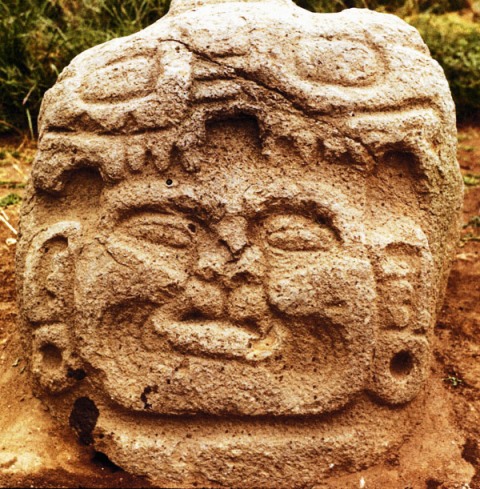
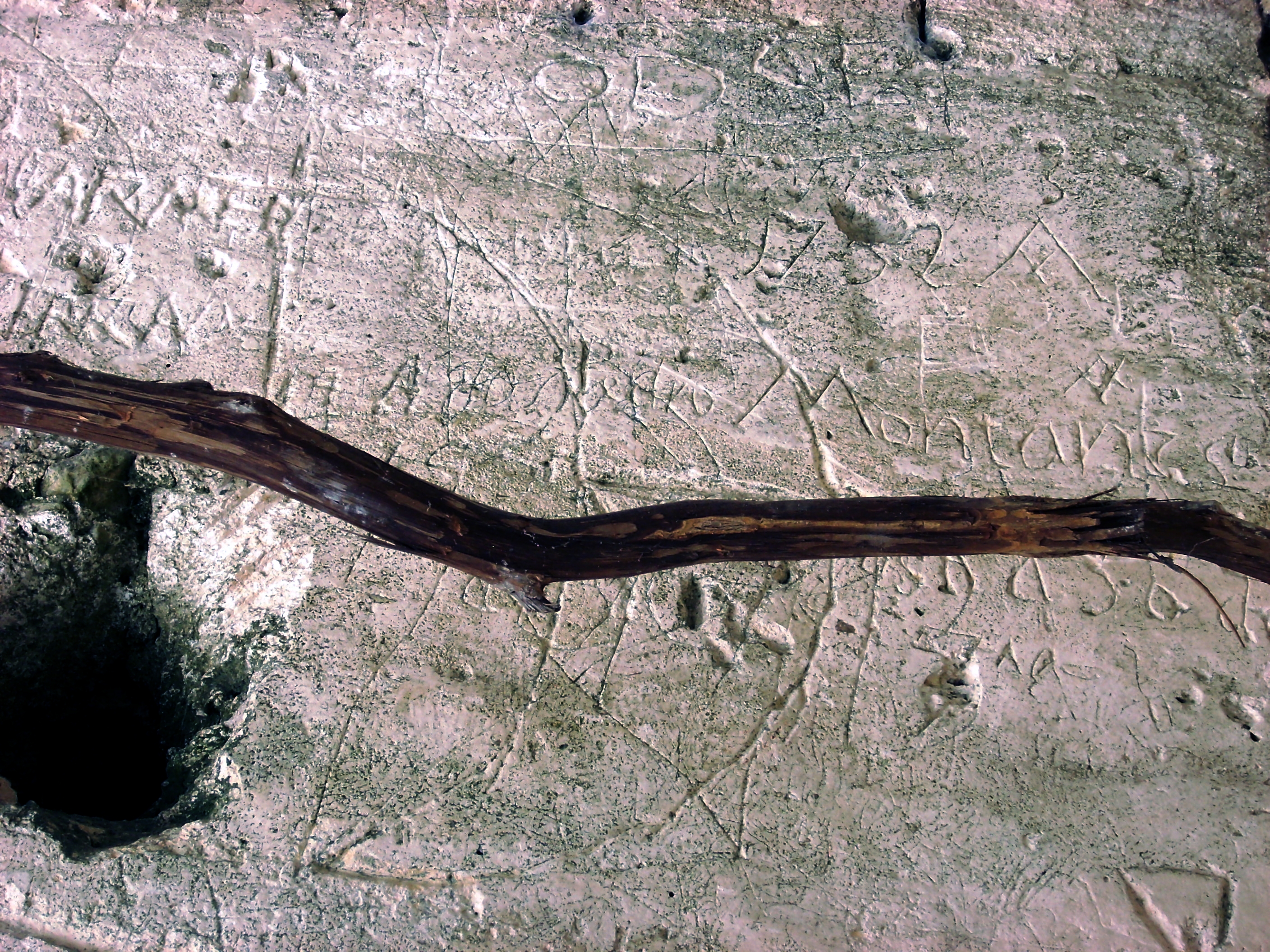
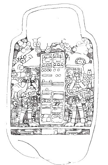
Explore photographs of ancient structures, artifacts, and archaeological excavations

Historical Timeline
Journey through time and discover key events in this site's history
Middle Preclassic development
800 BCE
Late Classic height
700 CE
Civic area expansion
900 CE
Archaeological Features
Unique architectural and cultural elements found at this historical site
Public and Civic Structures
Religious and Ritual Structures
Agricultural and Land Use Features
Domestic and Habitation Structures
Transportation and Communication Structures
Frequently Asked Questions
Plan Your Visit
Tours, travel arrangements, and practical information
More Sites in Guatemala
Kaminaljuyu
Pre-Columbian Maya city with mounds
La Blanca, Peten
Mesoamerican site with acropolis and plazas
Takalik Abaj
Large Mesoamerican site with Olmec-Maya features.
Ujuxte
Largest Preclassic Maya site on Pacific coast
Xultun
Large Classic Maya archaeological complex
Tamarindito
Ancient Maya city on a hill escarpment.