Explore the Map
Tayasal (archaeological site)
16.9403° N, -89.8924° E
About
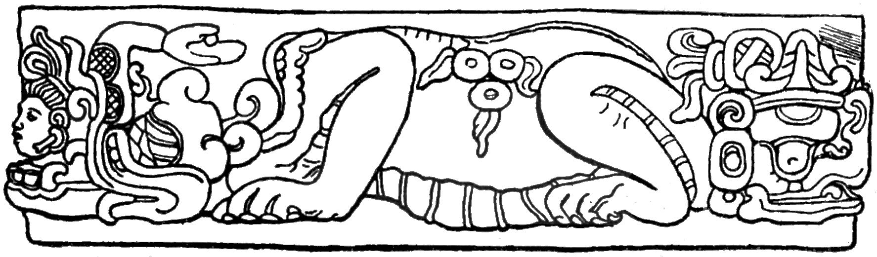
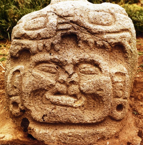
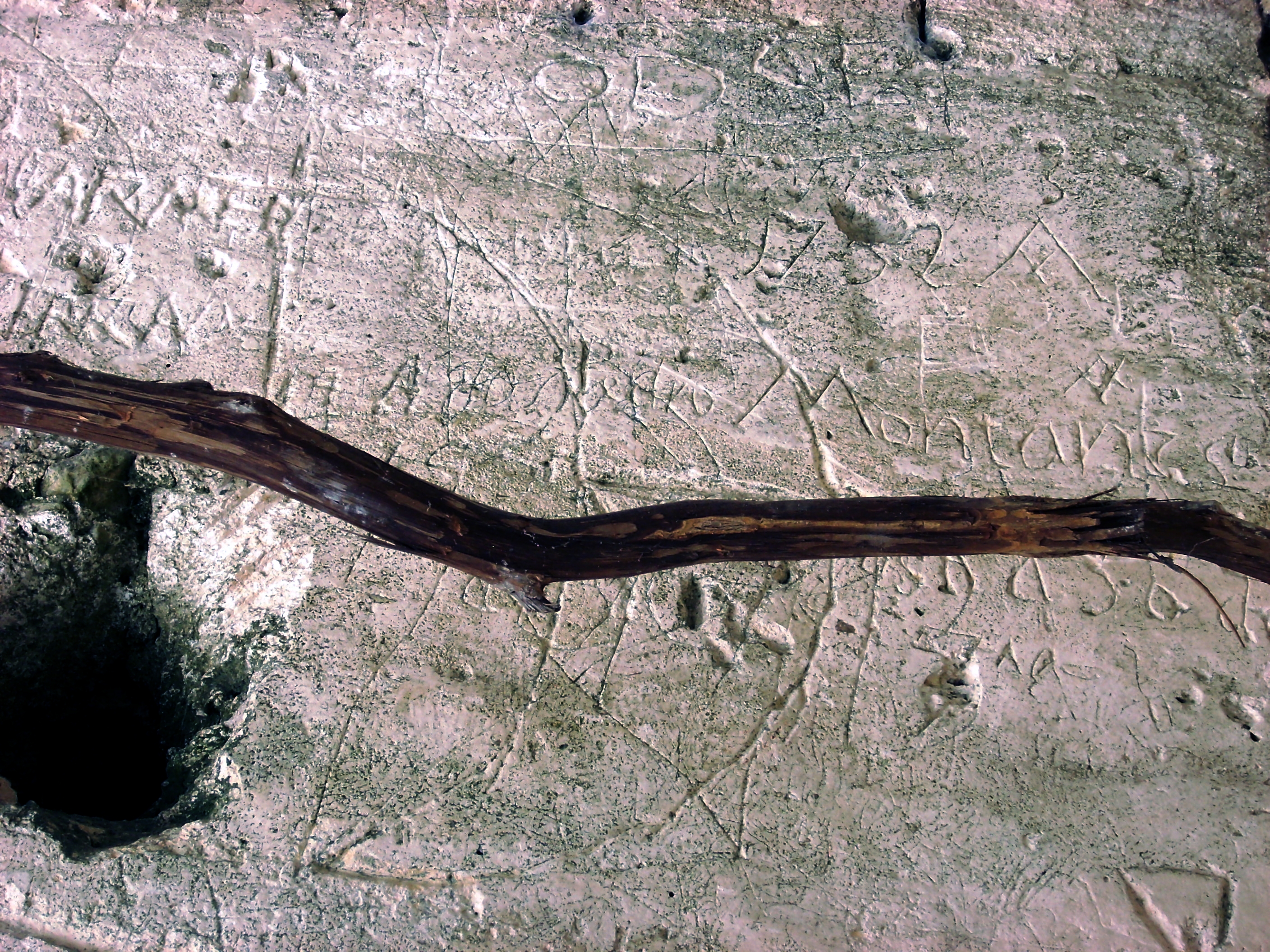
Tayasal is a significant Maya archaeological site in Guatemala, located on a peninsula of Lake Petén Itzá. The site was continuously occupied from the Middle Preclassic period around 1000 BCE through to the Late Postclassic period around 1539 CE. It was a major city featuring complex structures like triadic pyramids, E-Groups, and large plazas, indicative of its role as a cultural and ceremonial center for the Maya civilization. Tayasal was part of the Itza heartland and played a pivotal role during the Spanish contact period, as evidenced by unearthed colonial artifacts. Its monumental architecture, including the Mirador del rey Can'Ek and Cerro Moo, showcases typical Maya architectural innovation and ceremonial practices. Tayasal's strategic and cultural significance is further underscored by its interaction with Spanish colonizers and the establishment of missions in the early 18th century.
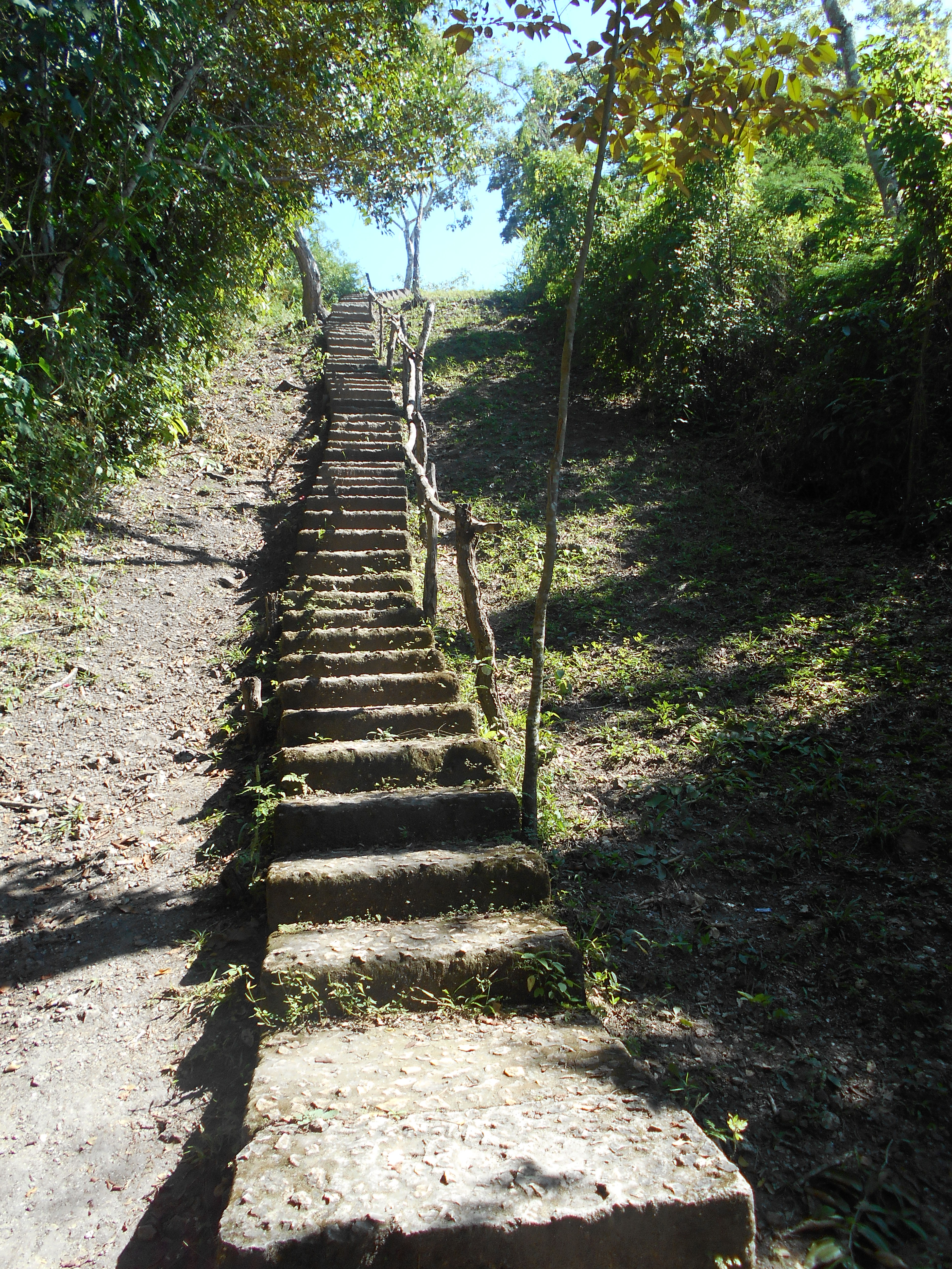
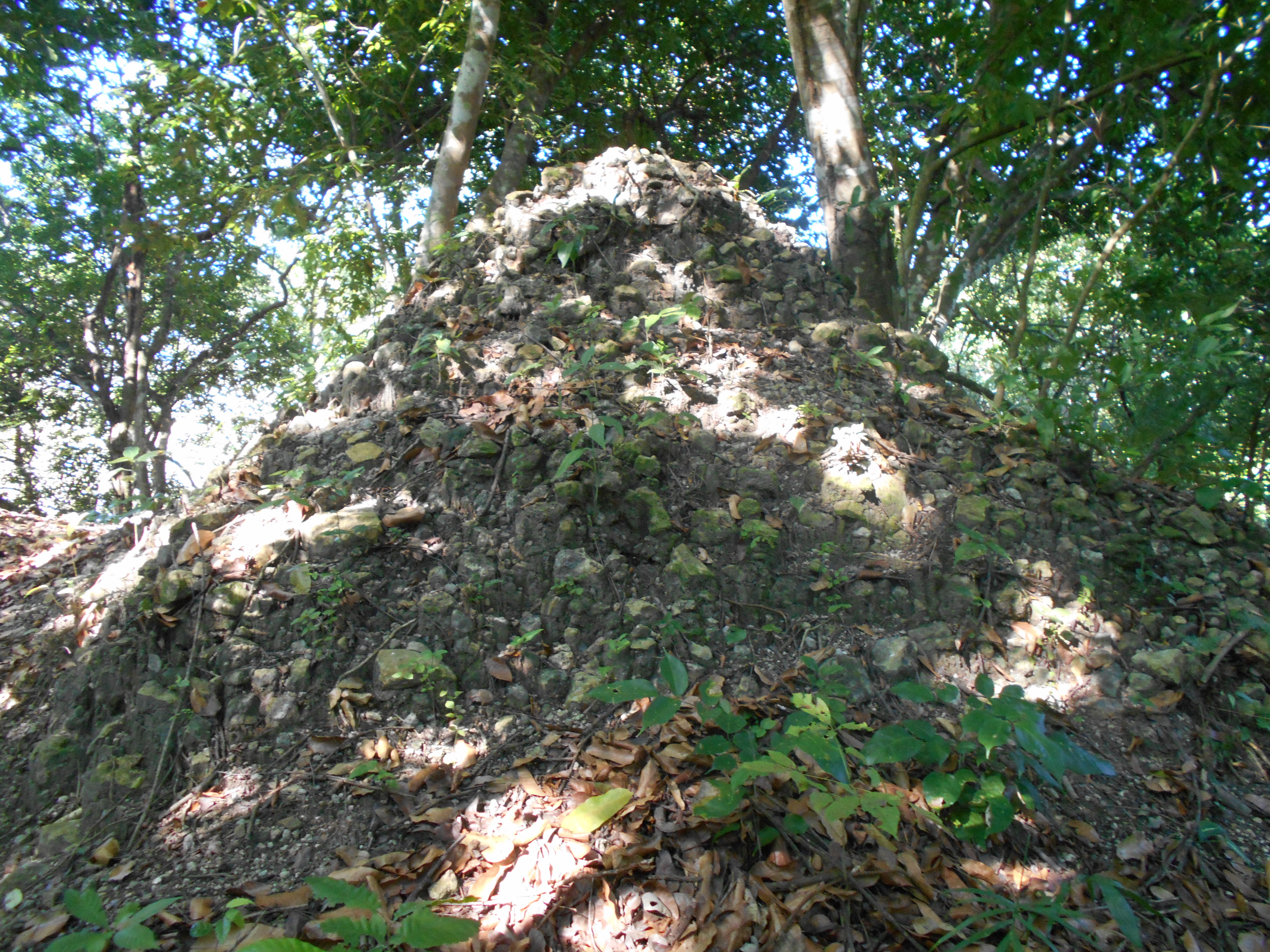
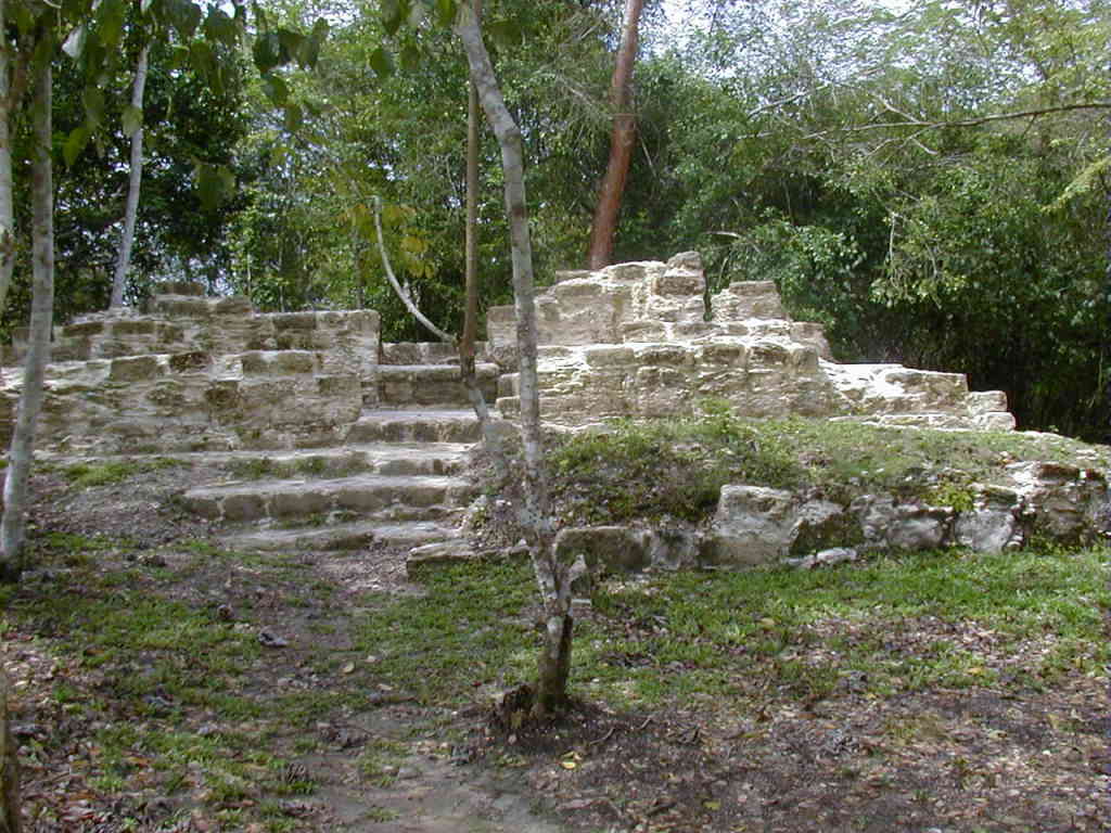
Gallery
Explore photographs of ancient structures, artifacts, and archaeological excavations

Historical Timeline
Journey through time and discover key events in this site's history
Middle Preclassic Occupation
1000 BCE
Late Preclassic Monumental Architecture
400 BCE
Late Postclassic Activity
1200 CE
Spanish Contact and Rituals
1500s CE
Spanish Missions Established
1702 CE, 1703 CE
Archaeological Features
Unique architectural and cultural elements found at this historical site
Defensive Structures
Water Management Features
Public and Civic Structures
Burial and Funerary Structures
Religious and Ritual Structures
Domestic and Habitation Structures
Frequently Asked Questions
Plan Your Visit
Tours, travel arrangements, and practical information


More Sites in Guatemala
El Pilar
Ancient Maya city with plazas and temples
Kaminaljuyu
Pre-Columbian Maya city with mounds
La Blanca, Peten
Mesoamerican site with acropolis and plazas
Takalik Abaj
Large Mesoamerican site with Olmec-Maya features.
Xultun
Large Classic Maya archaeological complex
Ujuxte
Largest Preclassic Maya site on Pacific coast