Explore the Map
Topoxte
17.0660° N, -89.4196° E
About
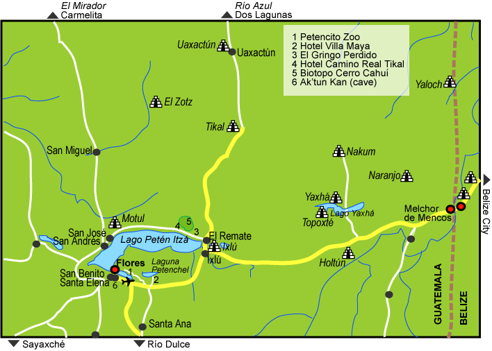
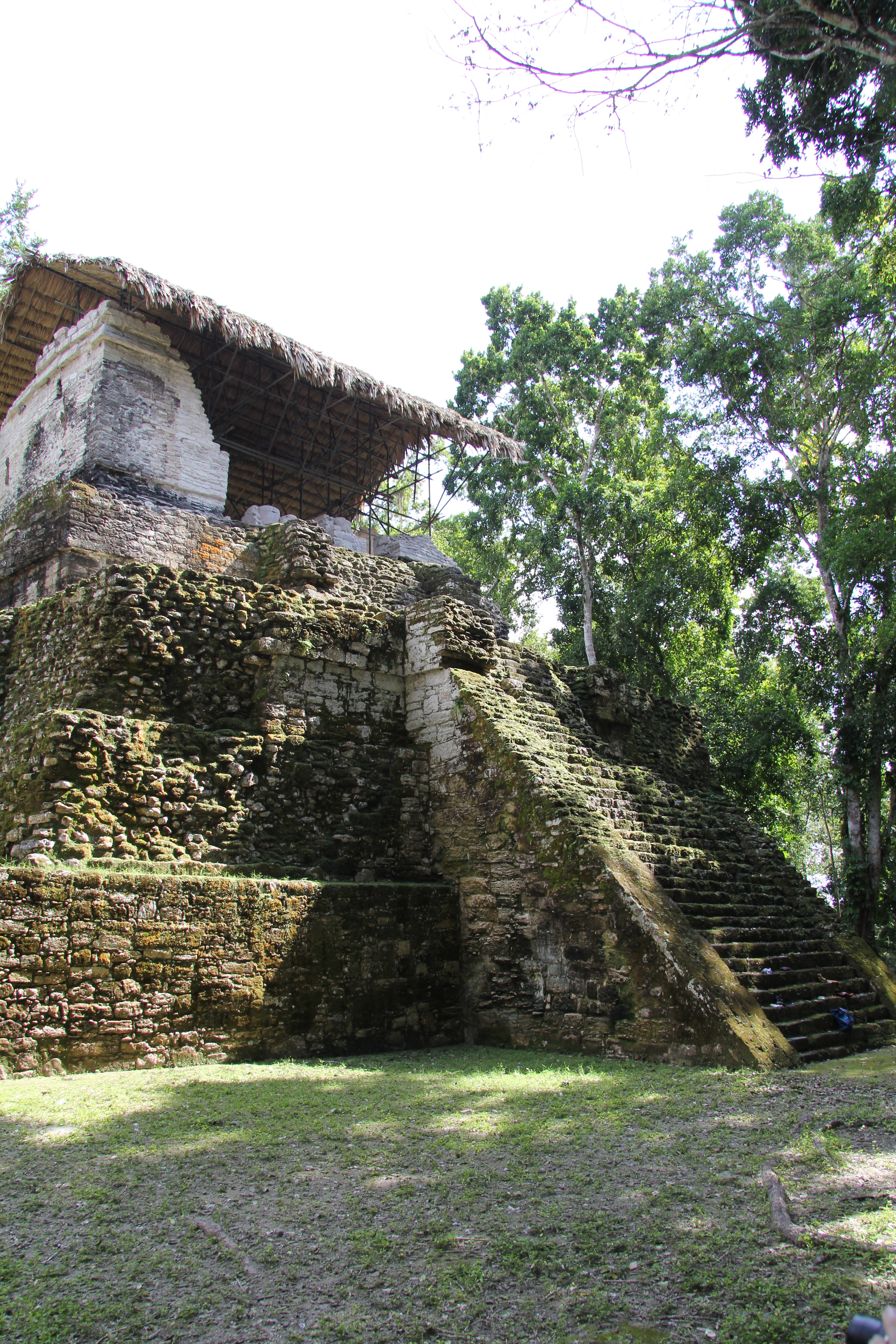
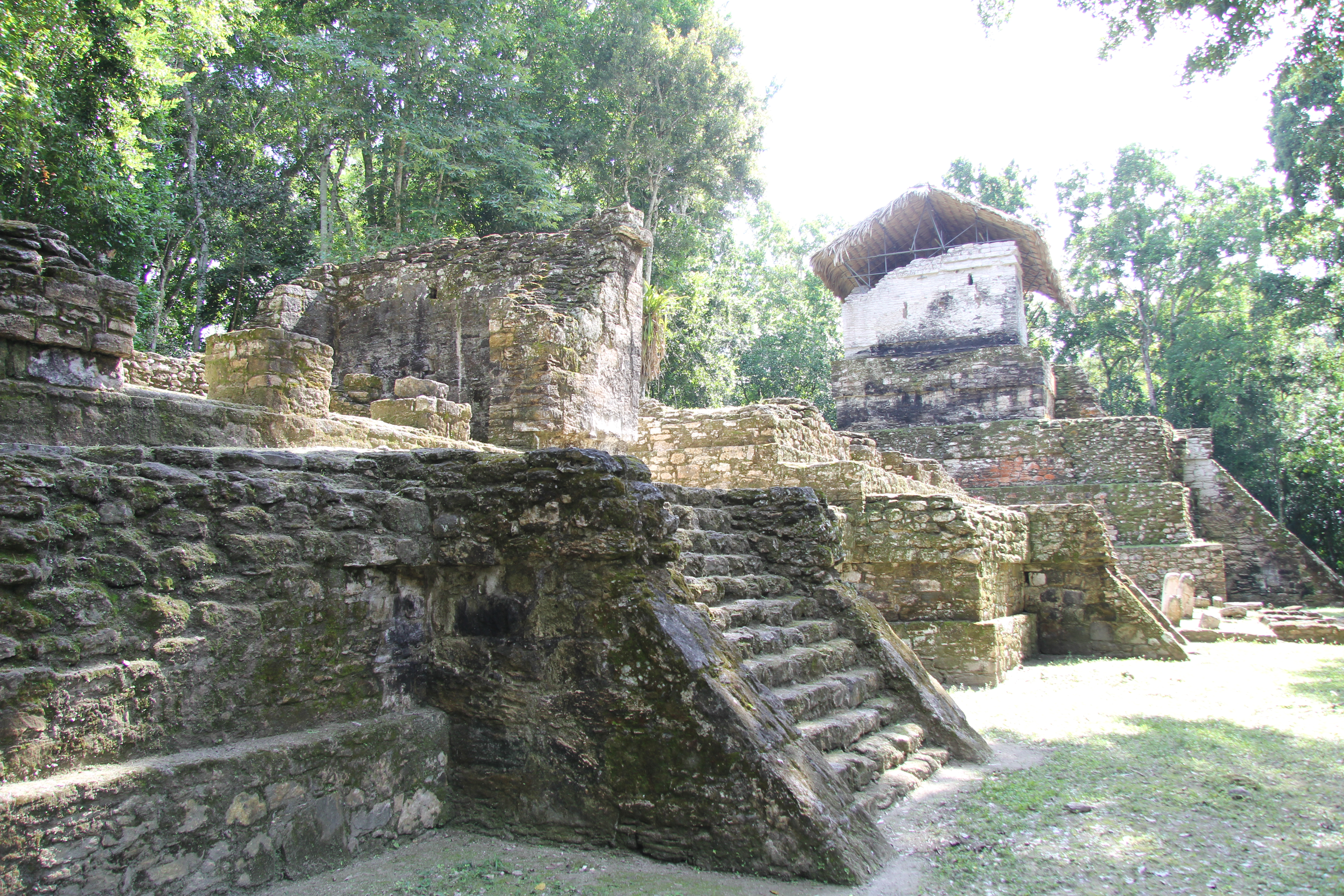
Topoxte is a significant pre-Columbian Maya archaeological site located on a group of islands within Lake Yaxha in northern Guatemala. As the capital of the Kowoj Maya, it serves as a key example of Postclassic Maya civilization. The site has a long occupational history from the Middle Preclassic to the Late Postclassic periods. Archaeological evidence indicates that Topoxte was a densely populated settlement, featuring a variety of structures, including ceremonial platforms, temples, and stelae, which reflect its importance as a political and cultural center. The site also reveals evidence of extensive trade networks with other Maya regions, as indicated by ceramic styles and obsidian sourcing. Although it was eventually abandoned around the mid-15th century, Topoxte provides vital insights into the socio-political dynamics and cultural exchanges within the Maya lowlands.
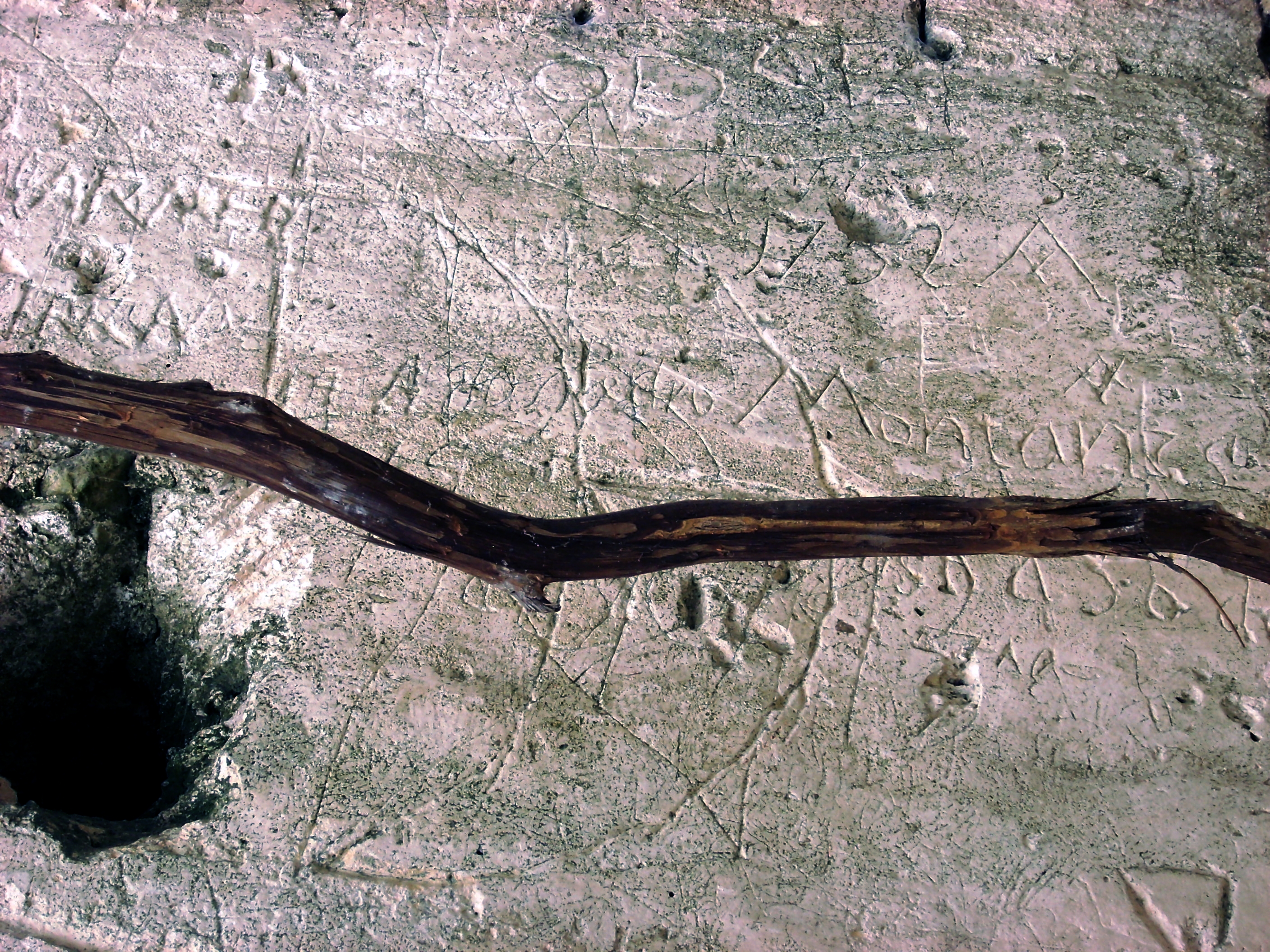
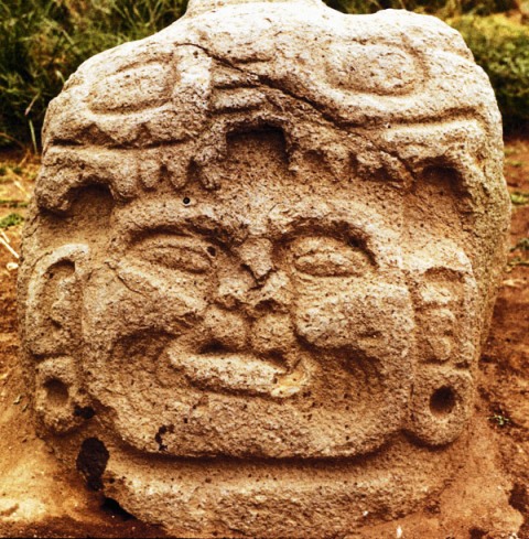
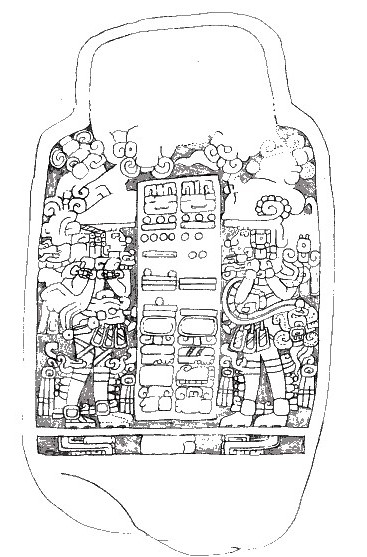
Gallery
Explore photographs of ancient structures, artifacts, and archaeological excavations

Historical Timeline
Journey through time and discover key events in this site's history
Middle Preclassic Occupation
900 BCE
Late Preclassic Contact
100 BCE
End of Classic Period Abandonment
900 CE
Postclassic Reoccupation
1100 CE
Final Abandonment
1450 CE
Archaeological Features
Unique architectural and cultural elements found at this historical site
Public and Civic Structures
Burial and Funerary Structures
Religious and Ritual Structures
Domestic and Habitation Structures
Environmental and Natural Features
Frequently Asked Questions
Plan Your Visit
Tours, travel arrangements, and practical information
More Sites in Guatemala
El Pilar
Ancient Maya city with plazas and temples
La Blanca, Peten
Mesoamerican site with acropolis and plazas
Kaminaljuyu
Pre-Columbian Maya city with mounds
Xultun
Large Classic Maya archaeological complex
Motul de San José
Significant Maya civic-ceremonial center.
Takalik Abaj
Large Mesoamerican site with Olmec-Maya features.