
Explore the Map
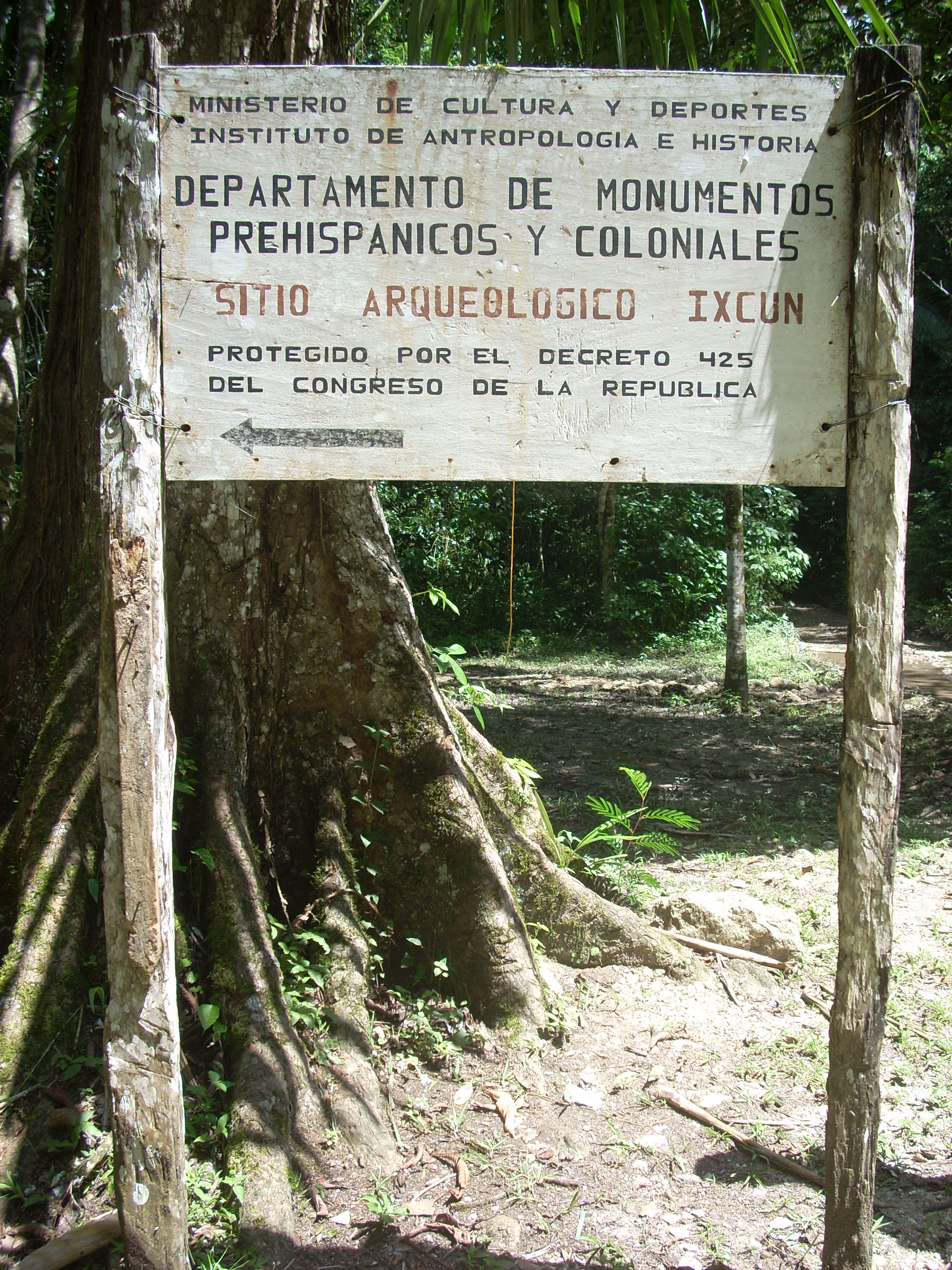
Ixkun
16.5736° N, -89.4111° E
About
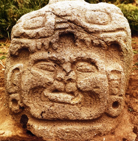
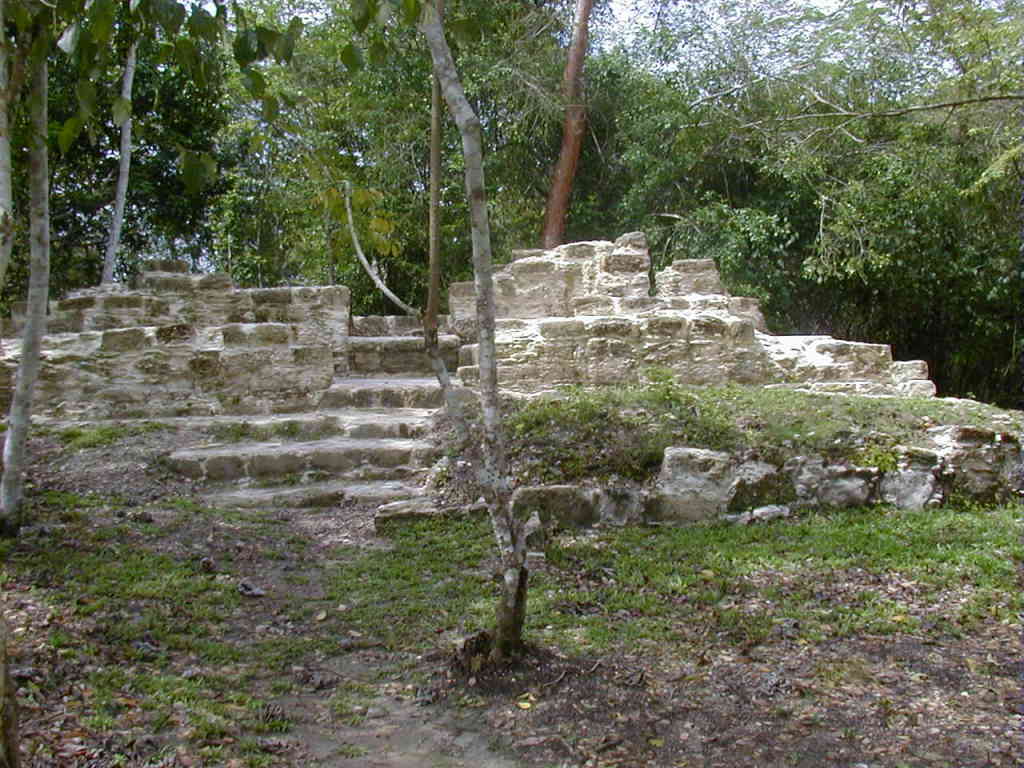
Ixkun is a significant pre-Columbian Maya archaeological site located in the Petén Basin of Guatemala. Known for its impressive stone monuments, including one of the tallest stelae in the region, the site was a major center during the Late Classic Period. It served as the capital of a large kingdom in the upper Mopan Valley, overseeing a network of smaller sites and controlling key trade routes. The city's architecture includes a wealth of structures such as plazas, temples, ceremonial platforms, and residential areas, which reflect both its civic and ritual importance. The site was occupied from the Late Preclassic through the Postclassic Period, with its peak in the Late Classic when it expanded significantly and engaged in regional conflicts and alliances. Ixkun's history is marked by its interactions with neighboring Maya cities like Sacul and Ucanal, illustrating its role in the broader political landscape of the Maya lowlands.
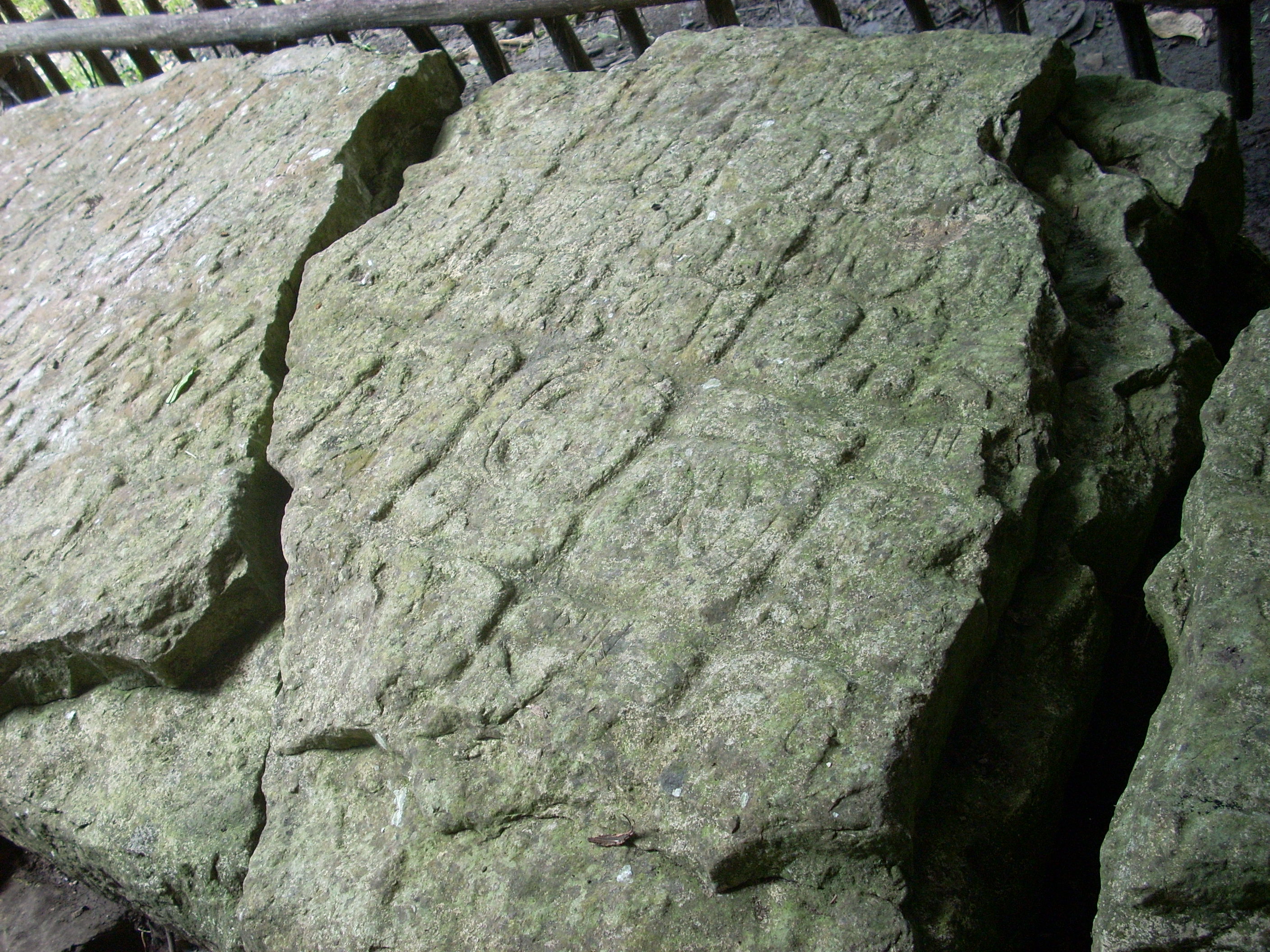
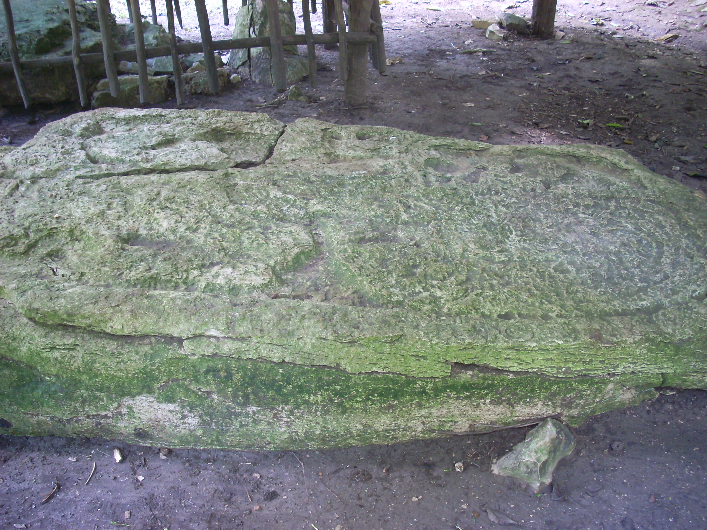
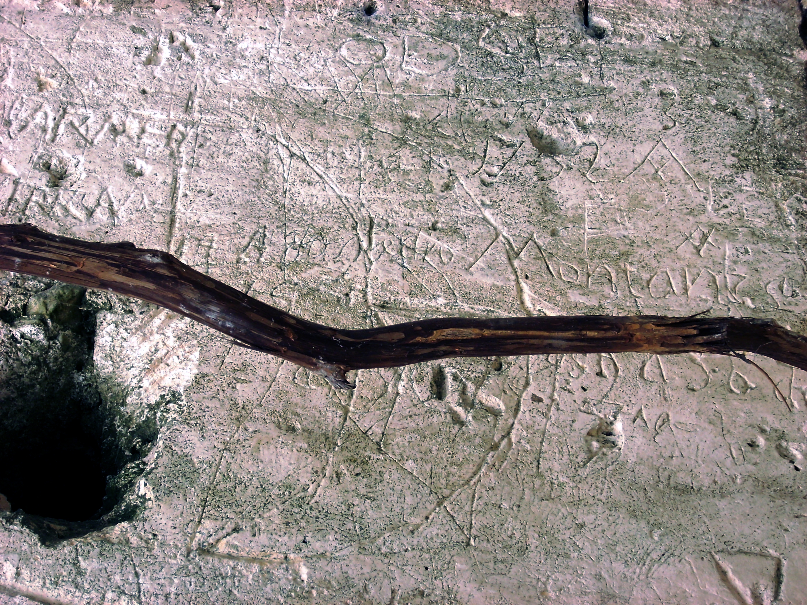
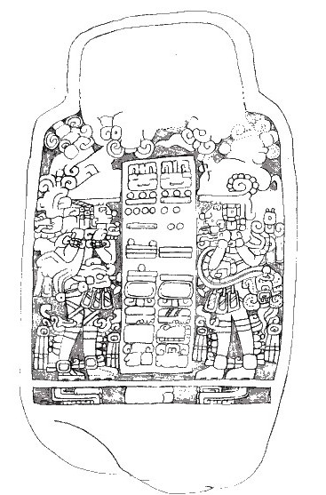
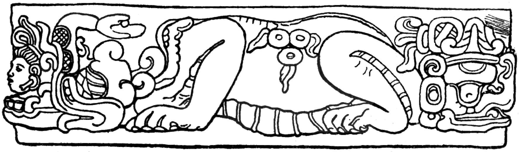
Gallery
Explore photographs of ancient structures, artifacts, and archaeological excavations
Historical Timeline
Journey through time and discover key events in this site's history
Middle Preclassic settlement
10th century BCE
Late Preclassic Period
4th century BCE
Early Classic structures
3rd century CE
Late Classic expansion
7th century CE
779 CE War with Sacul
779 CE
780 CE Victory over Ucanal
780 CE
790 CE Alliance with Sacul
790 CE
Terminal Classic occupation
9th century CE
Postclassic habitation
10th century CE
Archaeological Features
Unique architectural and cultural elements found at this historical site
Water Management Features
Public and Civic Structures
Burial and Funerary Structures
Religious and Ritual Structures
Artistic and Decorative Features
Domestic and Habitation Structures
Frequently Asked Questions
Plan Your Visit
Tours, travel arrangements, and practical information


More Sites in Guatemala
Kaminaljuyu
Pre-Columbian Maya city with mounds
El Pilar
Ancient Maya city with plazas and temples
La Blanca, Peten
Mesoamerican site with acropolis and plazas
Takalik Abaj
Large Mesoamerican site with Olmec-Maya features.
Xultun
Large Classic Maya archaeological complex
Tamarindito
Ancient Maya city on a hill escarpment.