
Explore the Map
Naachtun
17.7978° N, -89.7403° E
About
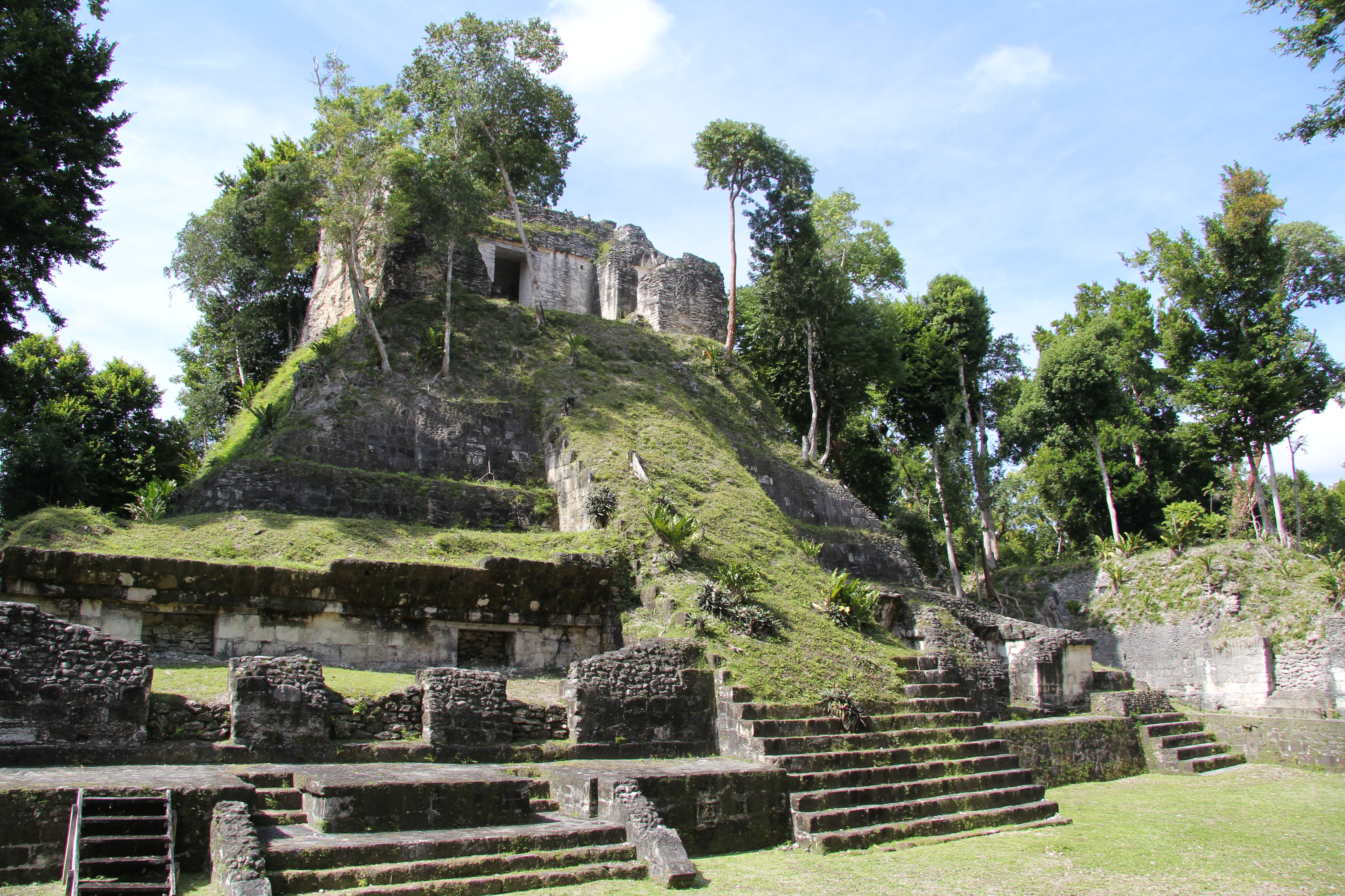
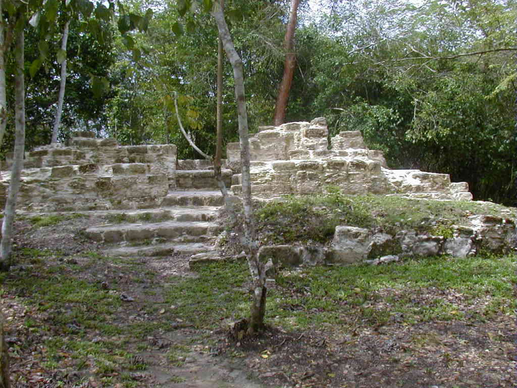
Naachtun is a significant archaeological site of the pre-Columbian Maya civilization, positioned at the northeastern edge of the Mirador Basin in northern Guatemala. The site, once known as Masuul, was a major center during the Formative and Classic periods, serving as a strategic link between the powerful cities of Tikal and Calakmul. Naachtun features monumental structures, including pyramids, an acropolis, and stelae, spread across three main groups. The presence of extensive residential complexes and ceremonial structures suggests a thriving community that experienced sociopolitical shifts and population decline by the Terminal Classic period. The site's remote location and historical significance mark it as a valuable link to understanding Maya civilization.
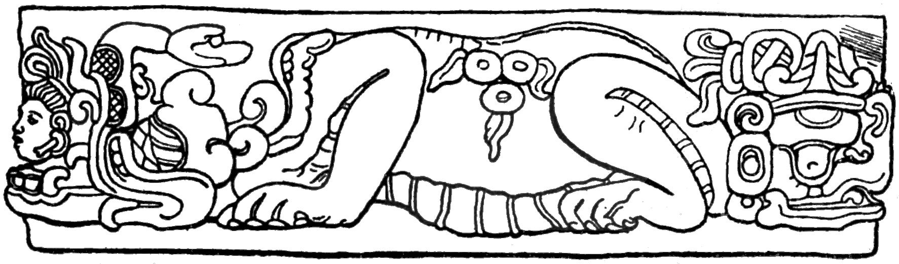
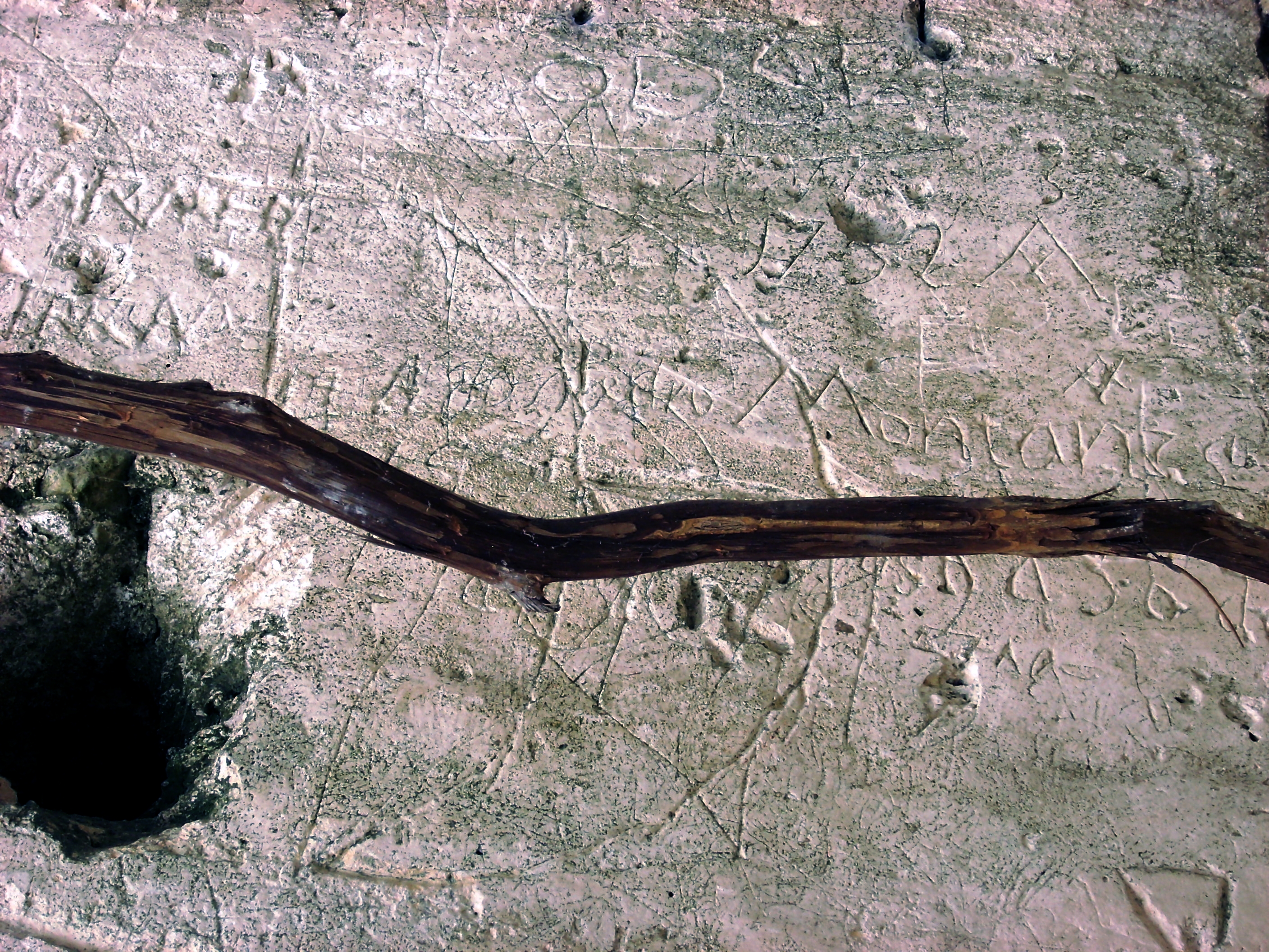
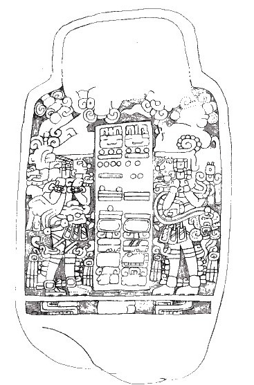
Gallery
Explore photographs of ancient structures, artifacts, and archaeological excavations
Historical Timeline
Journey through time and discover key events in this site's history
Naachtun Initial Development
200 CE
Maximal Residential Occupation
600 CE
Calakmul Political Shift
650 CE
Tikal Relations Re-established
740 CE
Population Decline
850 CE
Archaeological Features
Unique architectural and cultural elements found at this historical site
Public and Civic Structures
Burial and Funerary Structures
Religious and Ritual Structures
Domestic and Habitation Structures
Transportation and Communication Structures
Frequently Asked Questions
Plan Your Visit
Tours, travel arrangements, and practical information
More Sites in Guatemala
La Blanca, Peten
Mesoamerican site with acropolis and plazas
Takalik Abaj
Large Mesoamerican site with Olmec-Maya features.
Xultun
Large Classic Maya archaeological complex
Nakum
Restored Maya site with monumental architecture.

Tamarindito
Ancient Maya city on a hill escarpment.
El Pilar
Ancient Maya city with plazas and temples