Explore the Map
Balberta
14.0844° N, -90.9697° E
About
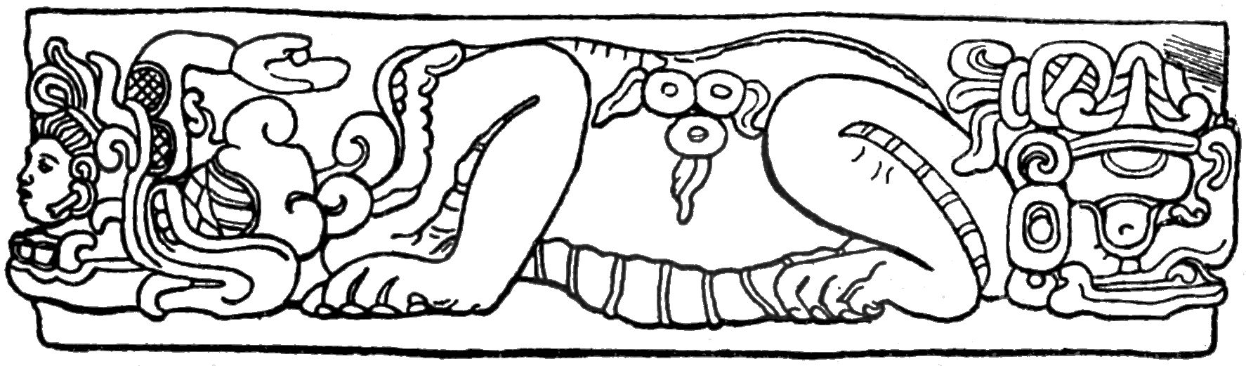
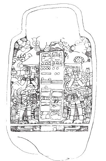
Balberta is a significant Early Classic Maya archaeological site located on the Pacific coastal plain of southern Guatemala. Characterized by its defensive architecture, including walls and ditches, Balberta was a fortified city that rose to prominence in the Early Classic period, approximately between 200 CE and 400 CE. At its peak, it demonstrated advanced state-level organization and engaged in extensive trade, notably with the influential city of Teotihuacan in central Mexico. The site contains ceremonial platforms, plazas, and evidence of elite residences and burials, highlighting its role as a major political and economic center on the Guatemalan coast. The sudden abandonment of Balberta around 400 CE marks a significant shift in the region's political landscape, likely influenced by external pressures from Teotihuacan and the establishment of a new power center at Montana.
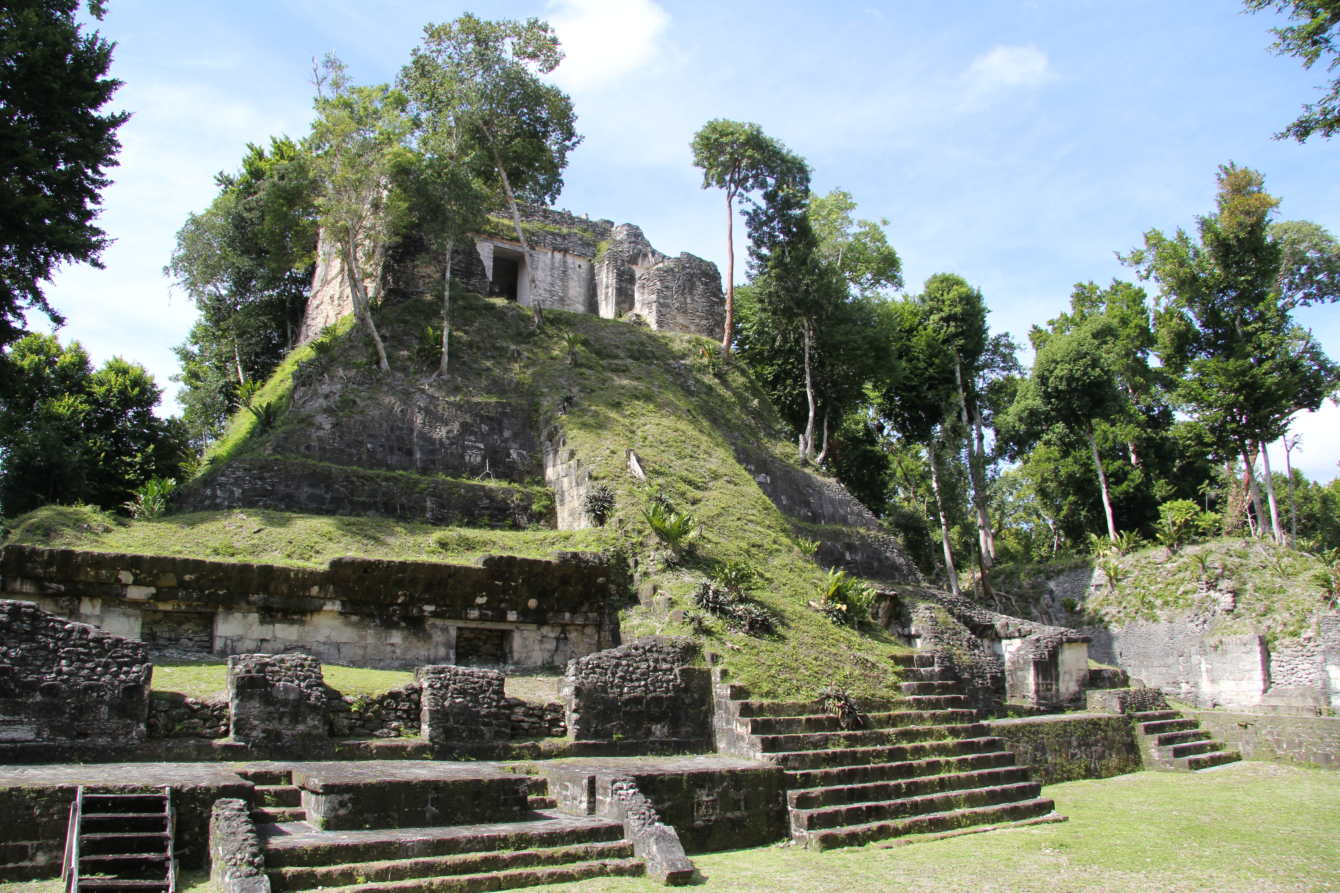
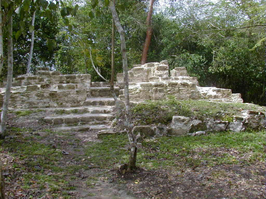
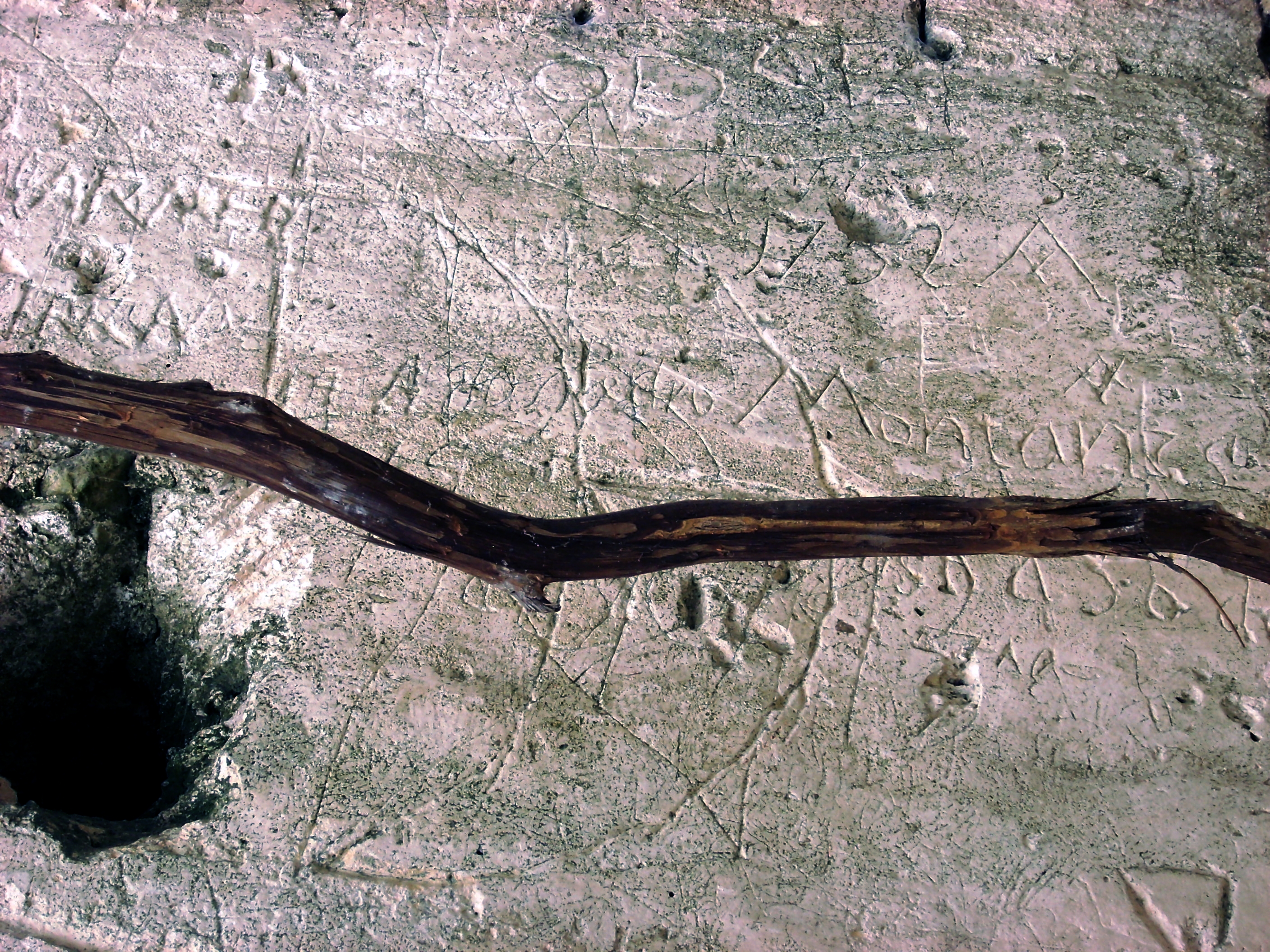
Gallery
Explore photographs of ancient structures, artifacts, and archaeological excavations

Historical Timeline
Journey through time and discover key events in this site's history
Late Preclassic occupation
100 BCE
Rapid growth and expansion
200 CE
Height of power
300 CE
Sudden abandonment
400 CE
Archaeological Features
Unique architectural and cultural elements found at this historical site
Defensive Structures
Public and Civic Structures
Burial and Funerary Structures
Religious and Ritual Structures
Agricultural and Land Use Features
Domestic and Habitation Structures
Transportation and Communication Structures
Frequently Asked Questions
Plan Your Visit
Tours, travel arrangements, and practical information
More Sites in Guatemala
Xultun
Large Classic Maya archaeological complex
Nakum
Restored Maya site with monumental architecture.
Takalik Abaj
Large Mesoamerican site with Olmec-Maya features.

Tamarindito
Ancient Maya city on a hill escarpment.
El Pilar
Ancient Maya city with plazas and temples
La Blanca, Peten
Mesoamerican site with acropolis and plazas