
Explore the Map
Takalik Abaj
14.6458° N, -91.7361° E
About
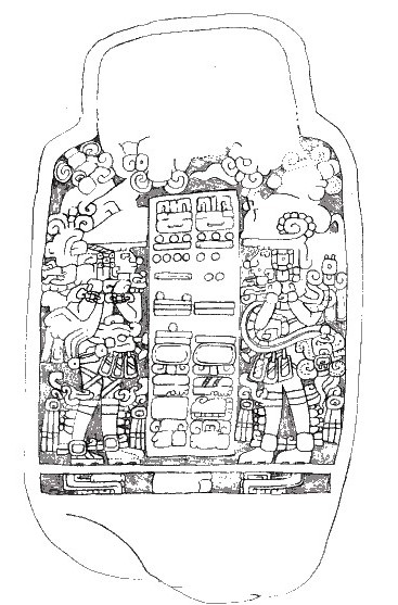
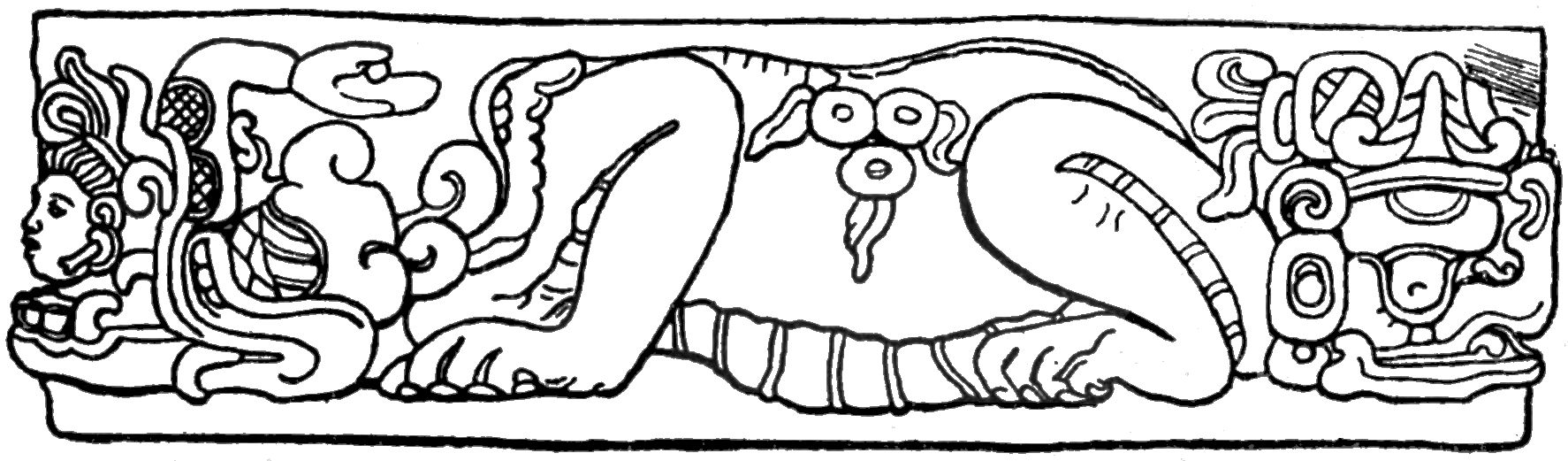
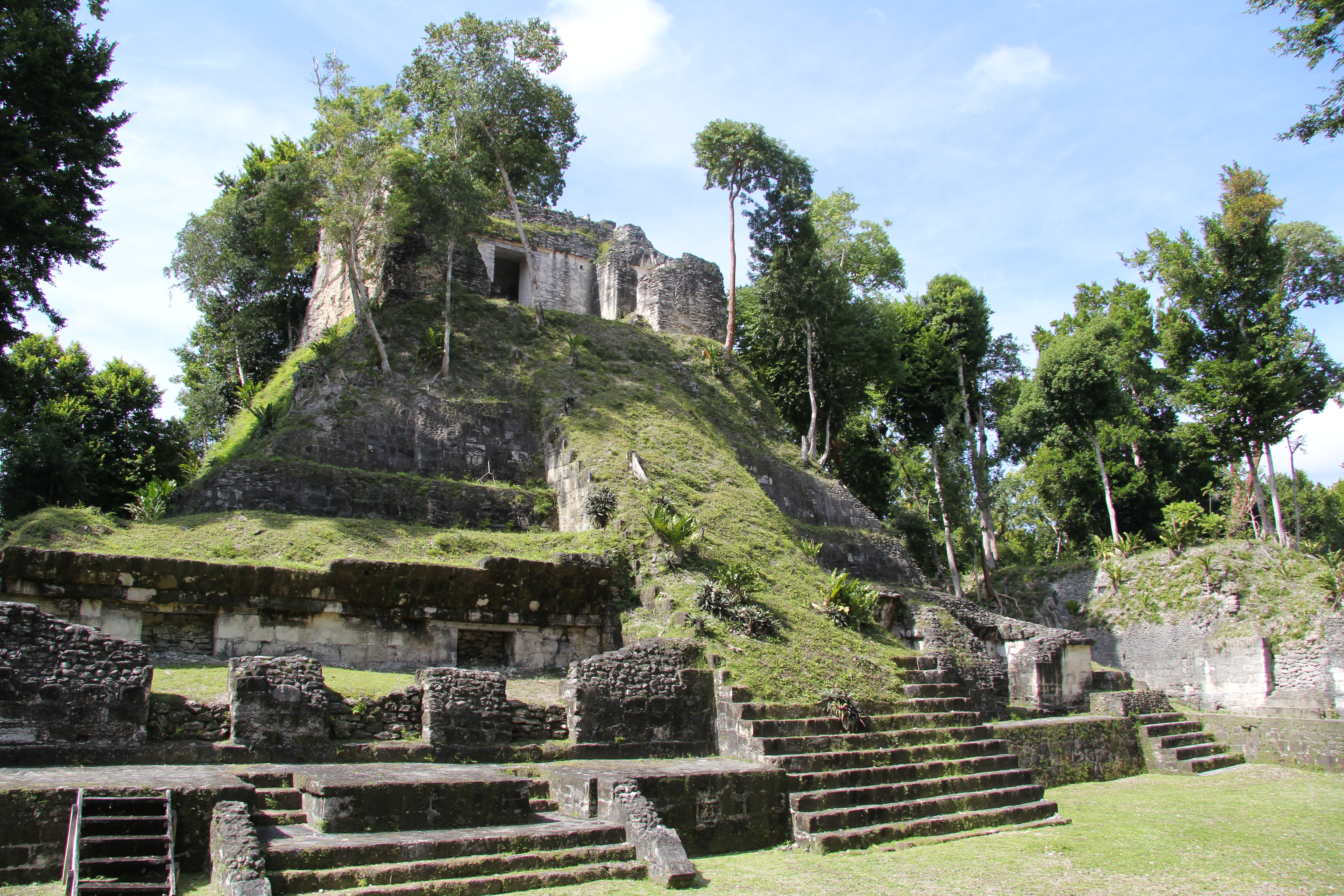
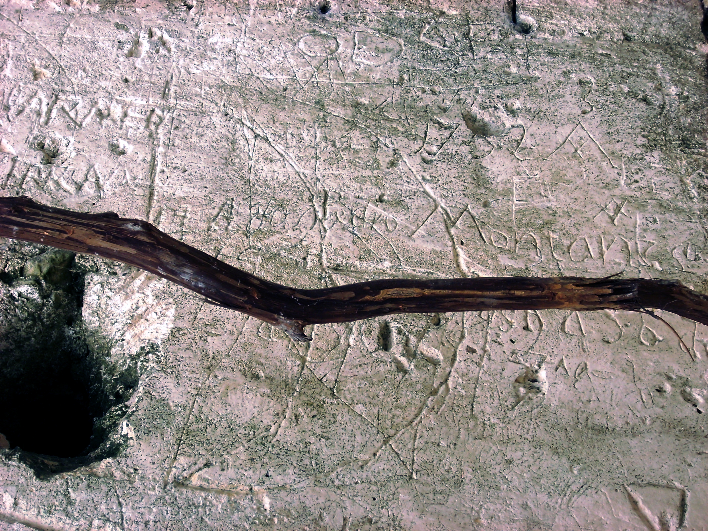
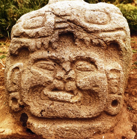
Tak'alik Ab'aj, located in southwestern Guatemala, is a significant pre-Columbian archaeological site that exhibits a unique blend of Olmec and Maya cultural influences. Spanning from the Early Iron Age to the Late Post-Classical Period, this site saw extensive occupation and development, characterized by complex architectural structures, ceremonial platforms, and a sophisticated water management system. The site's strategic position facilitated trade across Mesoamerica, evidenced by contact with distant centers such as Teotihuacan. Notable features include a Maya royal tomb, early hieroglyphic inscriptions, and both Olmec and Maya style monuments. Tak'alik Ab'aj's ongoing excavation continues to provide valuable insights into the cultural transitions and trade networks of ancient Mesoamerica.
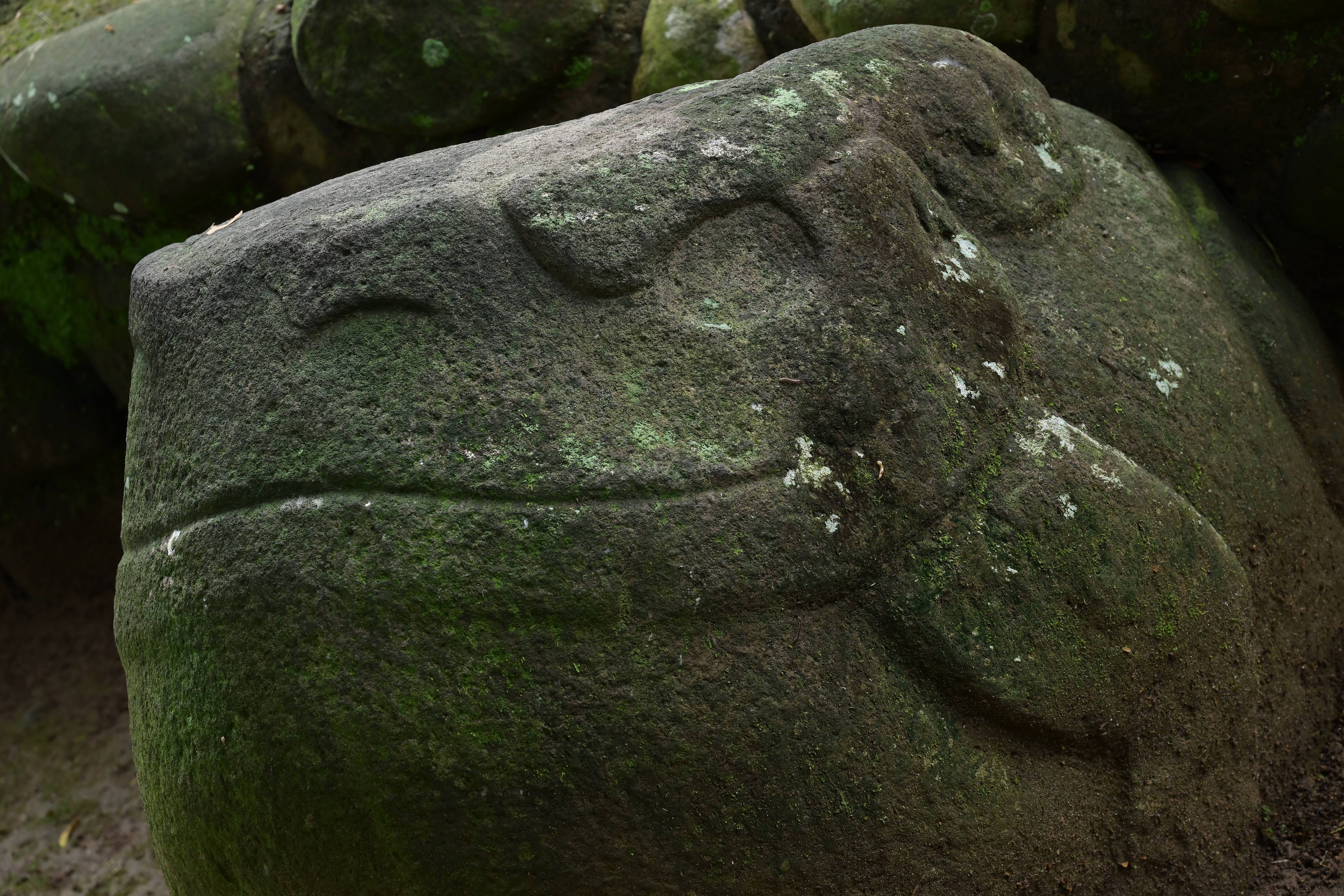
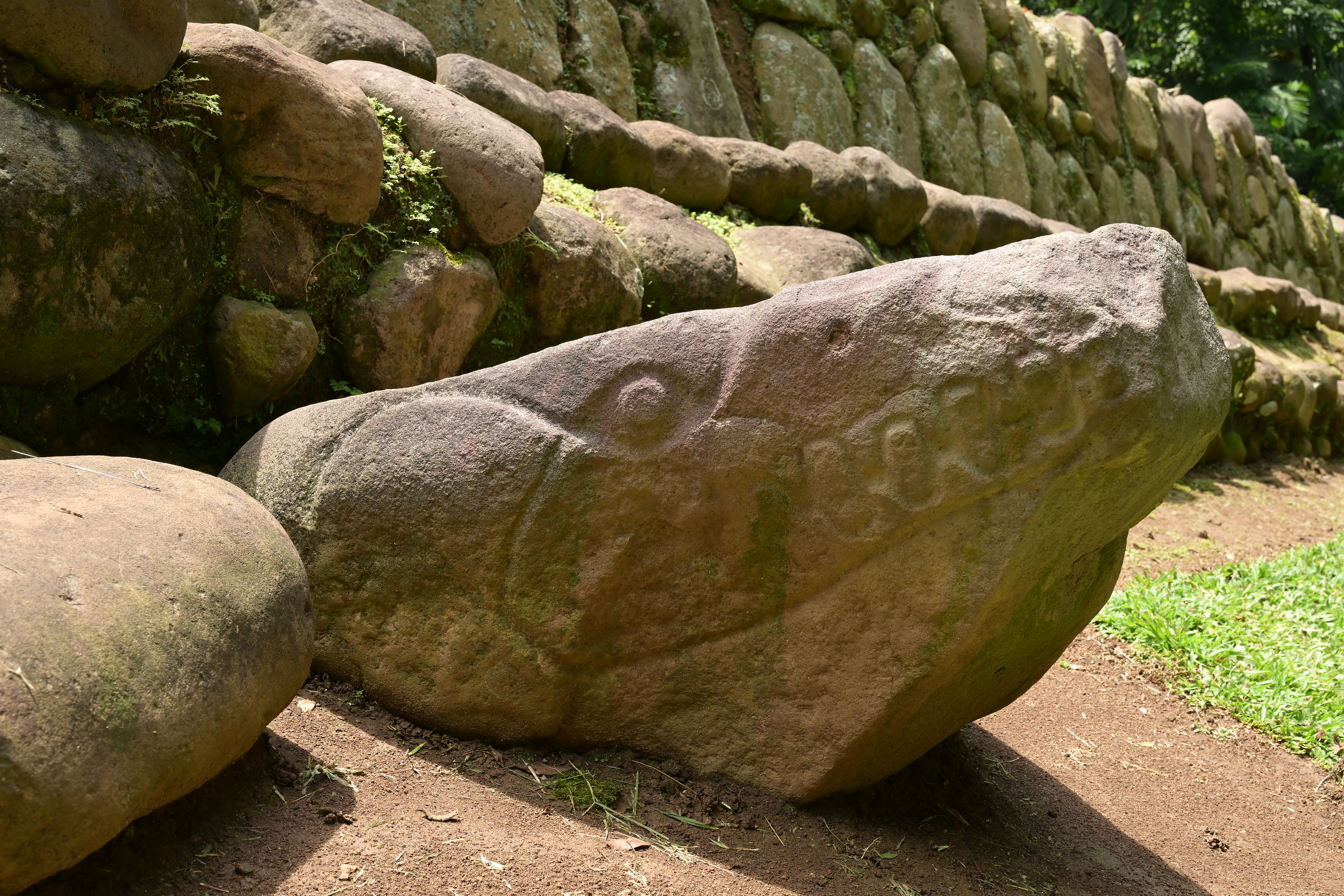
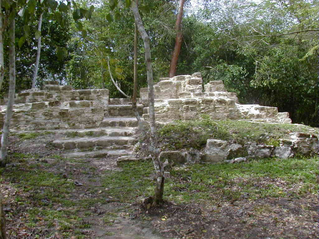
Gallery
Explore photographs of ancient structures, artifacts, and archaeological excavations
Historical Timeline
Journey through time and discover key events in this site's history
First Occupation
1000 BCE
Middle Preclassic Flourishing
800 BCE
Olmec Cultural Transition
400 BCE
Royal Tomb Construction
100 CE
Teotihuacan Influence
300 CE
Reconstruction and Revival
600 CE
Kʼicheʼ Conquest
1000 CE
Archaeological Features
Unique architectural and cultural elements found at this historical site
Miscellaneous Features
Water Management Features
Burial and Funerary Structures
Religious and Ritual Structures
Artistic and Decorative Features
Agricultural and Land Use Features
Domestic and Habitation Structures
Transportation and Communication Structures
Frequently Asked Questions
Plan Your Visit
Tours, travel arrangements, and practical information
More Sites in Guatemala
El Pilar
Ancient Maya city with plazas and temples
Balberta
Fortified Early Classic Maya site in Guatemala
Motul de San José
Significant Maya civic-ceremonial center.
Nakum
Restored Maya site with monumental architecture.
La Blanca, Peten
Mesoamerican site with acropolis and plazas
Kaminaljuyu
Pre-Columbian Maya city with mounds