Explore the Map
Motul de San José
17.0264° N, -89.9014° E
About
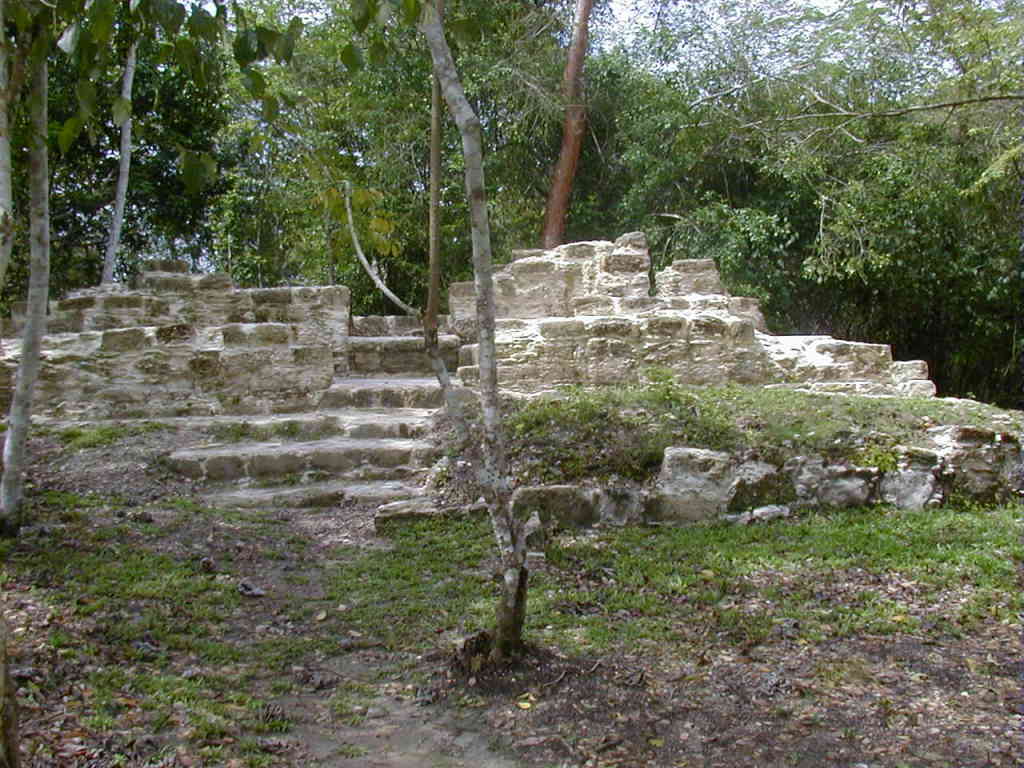
Motul de San José, an ancient Maya site located in the Petén Basin of Guatemala, served as a key political and economic center during the Late Classic period. Archaeological evidence reveals that the city was first settled during the Middle Preclassic period and experienced significant growth in the Late Preclassic. The city reached its peak during the Late Classic, featuring a dense urban core with numerous structures, including palaces, temples, and plazas. Motul de San José was also a hub for the production of Ik-style ceramics, renowned for their intricate designs and representations of courtly life. The city played a pivotal role in the power dynamics of the region, frequently shifting allegiances between major Maya powers such as Tikal and Calakmul. The site was eventually conquered by Dos Pilas, leading to a decline in its prominence. Despite this, Motul de San José's rich archaeological remains offer valuable insights into Maya civilization, particularly in terms of political relationships, economic activities, and artistic achievements.
Historical Timeline
Journey through time and discover key events in this site's history
First Settlement
600 BCE
Late Preclassic Growth
300 BCE to 300 CE
Late Classic Peak
600 CE to 830 CE
Conquest by Dos Pilas
late 8th century CE
Terminal Classic Decline
830 CE to 1000 CE
Early Postclassic Occupation
1000 CE to 1250 CE
Archaeological Features
Unique architectural and cultural elements found at this historical site
Storage Structures
Water Management Features
Public and Civic Structures
Burial and Funerary Structures
Industrial and Craft Structures
Religious and Ritual Structures
Artistic and Decorative Features
Agricultural and Land Use Features
Domestic and Habitation Structures
Transportation and Communication Structures
Frequently Asked Questions
Plan Your Visit
Tours, travel arrangements, and practical information
More Sites in Guatemala
La Blanca, Peten
Mesoamerican site with acropolis and plazas

Balberta
Fortified Early Classic Maya site in Guatemala
Tamarindito
Ancient Maya city on a hill escarpment.
Xultun
Large Classic Maya archaeological complex
El Pilar
Ancient Maya city with plazas and temples
Takalik Abaj
Large Mesoamerican site with Olmec-Maya features.