Explore the Map
Tamarindito
16.4500° N, -90.2300° E
About
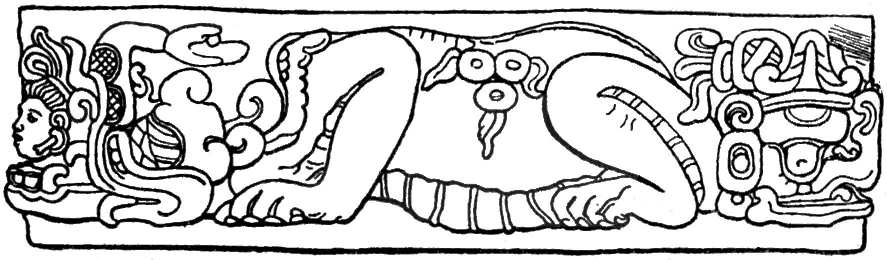
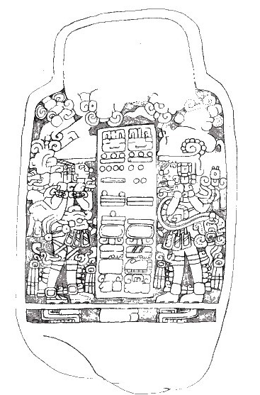
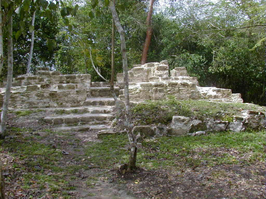
Tamarindito is a significant archaeological site located in the Petexbatún region of the Petén department in Guatemala. As a city of the ancient Maya civilization, Tamarindito was strategically situated on a high hill escarpment, featuring a rich array of structures including palaces, temples, and agricultural terraces. Initially flourishing as the capital of the region during the Early Classic period, it later succumbed to the dominance of Dos Pilas, a rival city. Tamarindito regained prominence in the 8th century by defeating Dos Pilas, though this victory was followed by a period of chaos and eventual abandonment by the 9th century. The site offers insights into the socio-political dynamics and agricultural practices of the Maya, with extensive remains of residential areas, ceremonial platforms, and a notable royal tomb.
Gallery
Explore photographs of ancient structures, artifacts, and archaeological excavations

Historical Timeline
Journey through time and discover key events in this site's history
First settlement
2000 BCE
Early Classic capital
7th century CE
Displacement by Dos Pilas
7th century CE
Population decline
8th century CE
Defeat of Dos Pilas
761 CE
Abandonment
9th century CE
Archaeological Features
Unique architectural and cultural elements found at this historical site
Water Management Features
Public and Civic Structures
Burial and Funerary Structures
Religious and Ritual Structures
Agricultural and Land Use Features
Domestic and Habitation Structures
Transportation and Communication Structures
Frequently Asked Questions
Plan Your Visit
Tours, travel arrangements, and practical information


More Sites in Guatemala
Xultun
Large Classic Maya archaeological complex
Takalik Abaj
Large Mesoamerican site with Olmec-Maya features.
La Blanca, Peten
Mesoamerican site with acropolis and plazas
El Pilar
Ancient Maya city with plazas and temples

Balberta
Fortified Early Classic Maya site in Guatemala
Motul de San José
Significant Maya civic-ceremonial center.