Explore the Map
Río Azul
17.7791° N, -89.2800° E
About
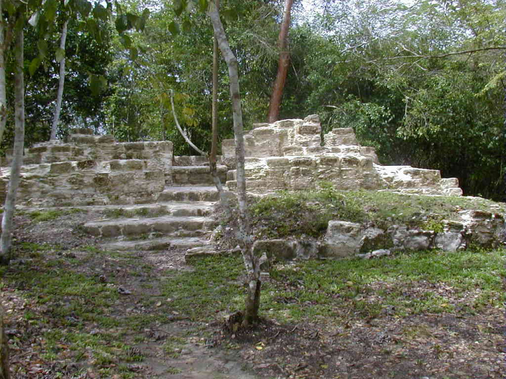
Río Azul is an archaeological site of the Pre-Columbian Maya civilization. It is the most important site in the Río Azul National Park in the Petén Department of northern Guatemala, close to the borders of Mexico and Belize. Río Azul is situated to the southeast of the Azul river and its apogee dates to the Early Classic period (c. AD 250–600). The earliest major architecture dates to around 500 BC, in the Late Preclassic period (c. 350 BC – AD 250). In the late 4th century AD Río Azul was dominated by the city of Tikal and its great central Mexican ally Teotihuacan. Tikal used Río Azul to secure an important trade route to the Caribbean Sea and challenge Calakmul, its great rival. The city was largely abandoned in the 6th century but saw a resurgence in the Late Classic (c. AD 600–900), probably as a result of repopulation by Kinal.
Historical Timeline
Journey through time and discover key events in this site's history
Early Classic apogee
AD 250–600
Sacrificial altars dated
AD 385
Structure A-3 construction
AD 390–530
Early Classic population peak
AD 390–540
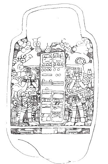
Stela 1 inscription
AD 392
Siyaj K'ak' mention
AD 393
6th century decline
6th century AD
Late Preclassic monuments
c. 500 BC
Late Classic resurgence
c. AD 600–900
BA-20 repopulation
AD 692–830
9th century trade evidence
9th century AD
Stela 1 re-use and rapid collapse signs
c. AD 850
Final abandonment
AD 880
Initial settlement
c. 900 BC
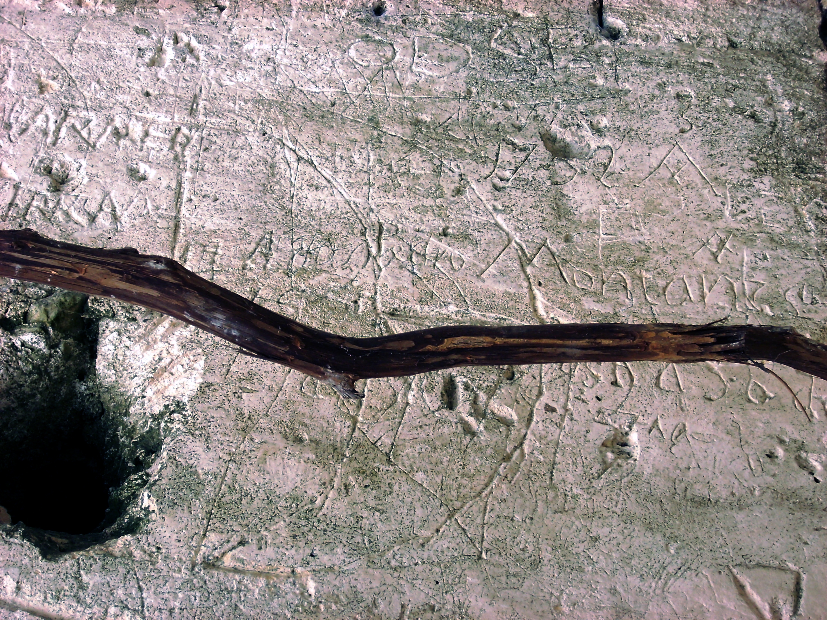
Modern discovery and looting
1962
Ian Graham survey
1981
Río Azul Project
1983–1987
Archaeological Features
Unique architectural and cultural elements found at this historical site
Storage Structures
Defensive Structures
Miscellaneous Features
Public and Civic Structures
Burial and Funerary Structures
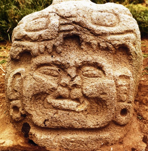
Religious and Ritual Structures
Artistic and Decorative Features
Domestic and Habitation Structures
Environmental and Natural Features
Transportation and Communication Structures
Frequently Asked Questions
Plan Your Visit
Tours, travel arrangements, and practical information
More Sites in Guatemala
La Blanca, Peten
Mesoamerican site with acropolis and plazas
El Pilar
Ancient Maya city with plazas and temples
Kaminaljuyu
Pre-Columbian Maya city with mounds
Motul de San José
Significant Maya civic-ceremonial center.
Takalik Abaj
Large Mesoamerican site with Olmec-Maya features.
Ujuxte
Largest Preclassic Maya site on Pacific coast