Explore the Map
Machaquila
16.3200° N, -89.8600° E
About
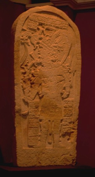
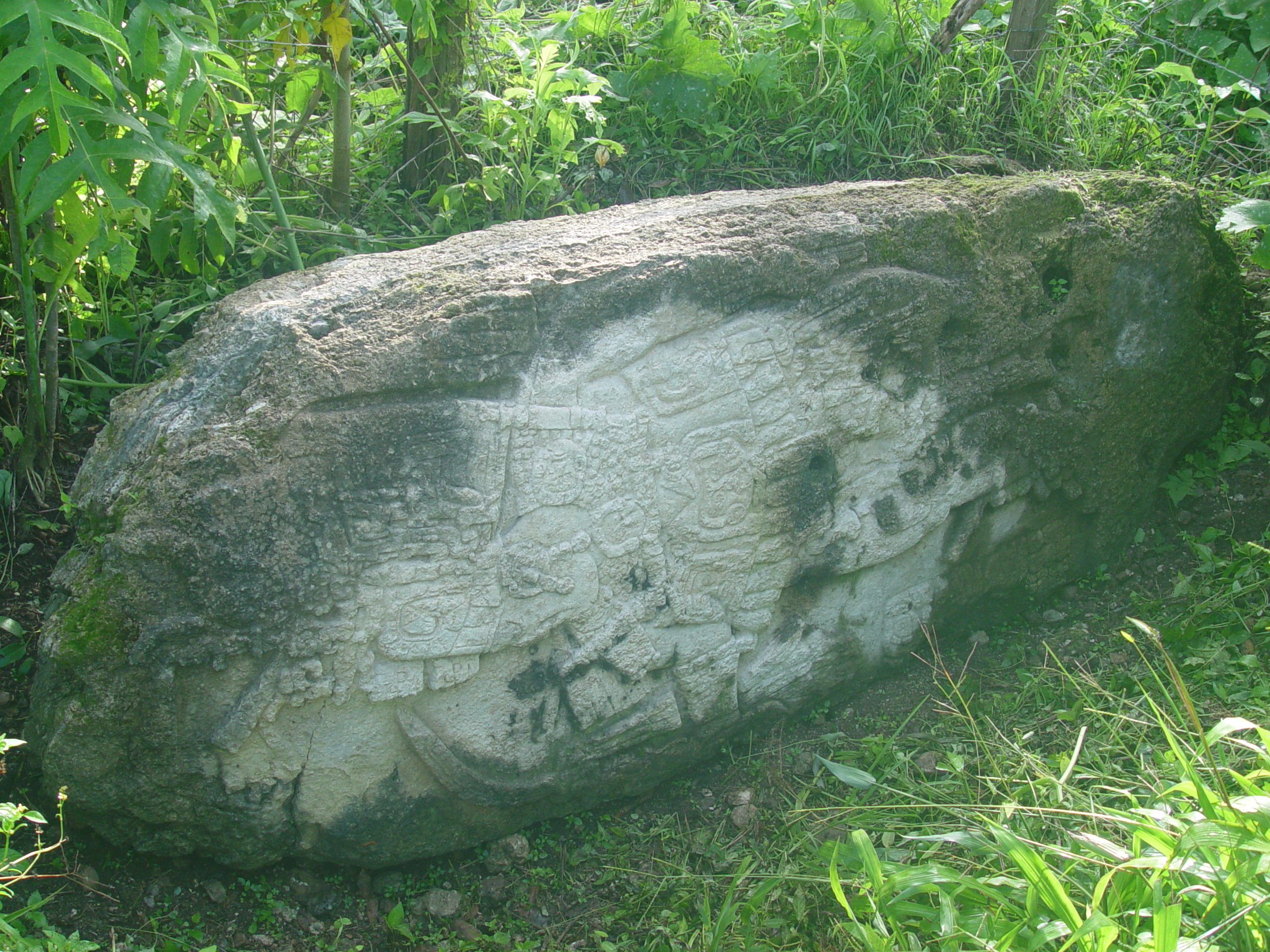
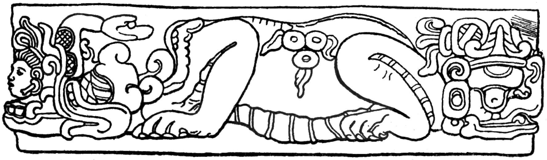
Machaquila is a notable archaeological site of the Maya civilization located in the El Peten department of Guatemala. It flourished during the Late to Terminal Classic periods, peaking in the 9th century CE. The city was strategically positioned on important trade routes connecting the Maya Mountains to the Pasión and Usumacinta Rivers. Although Machaquila's architecture is not particularly remarkable in size or design, it is distinguished by its abundance of sculpted monuments, including 18 stelae and 6 altars. The site lacks traditional E-Group complexes and ballcourts but features significant ceremonial and residential structures, such as temples, palace complexes, and plazas. The absence of its original monuments, now mostly looted or relocated, adds an air of mystery to the site, with only remnants like broken stelae remaining.
Gallery
Explore photographs of ancient structures, artifacts, and archaeological excavations

Historical Timeline
Journey through time and discover key events in this site's history
Late to Terminal Classic flourishing
9th century CE
Archaeological Features
Unique architectural and cultural elements found at this historical site
Public and Civic Structures
Burial and Funerary Structures
Religious and Ritual Structures
Artistic and Decorative Features
Domestic and Habitation Structures
Frequently Asked Questions
Plan Your Visit
Tours, travel arrangements, and practical information


More Sites in Guatemala
Motul de San José
Significant Maya civic-ceremonial center.

Tamarindito
Ancient Maya city on a hill escarpment.
Zapote Bobal
Maya site with palaces and pyramids.
Mixco Viejo
Postclassic Maya fortified city with temples.

Balberta
Fortified Early Classic Maya site in Guatemala
La Blanca, Peten
Mesoamerican site with acropolis and plazas