Explore the Map
Mixco Viejo
14.8717° N, -90.6642° E
About
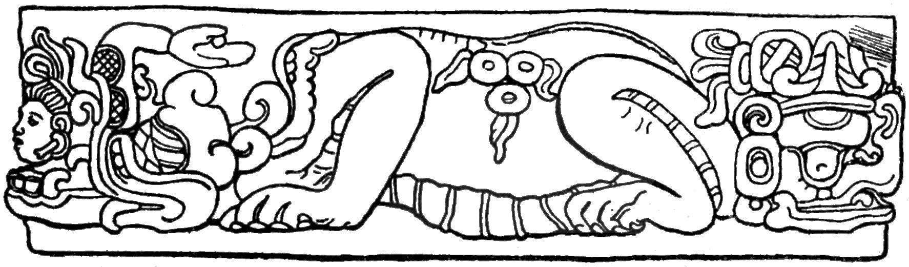
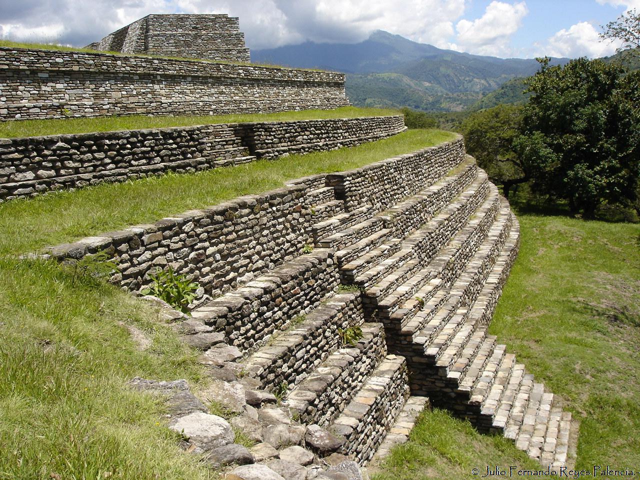
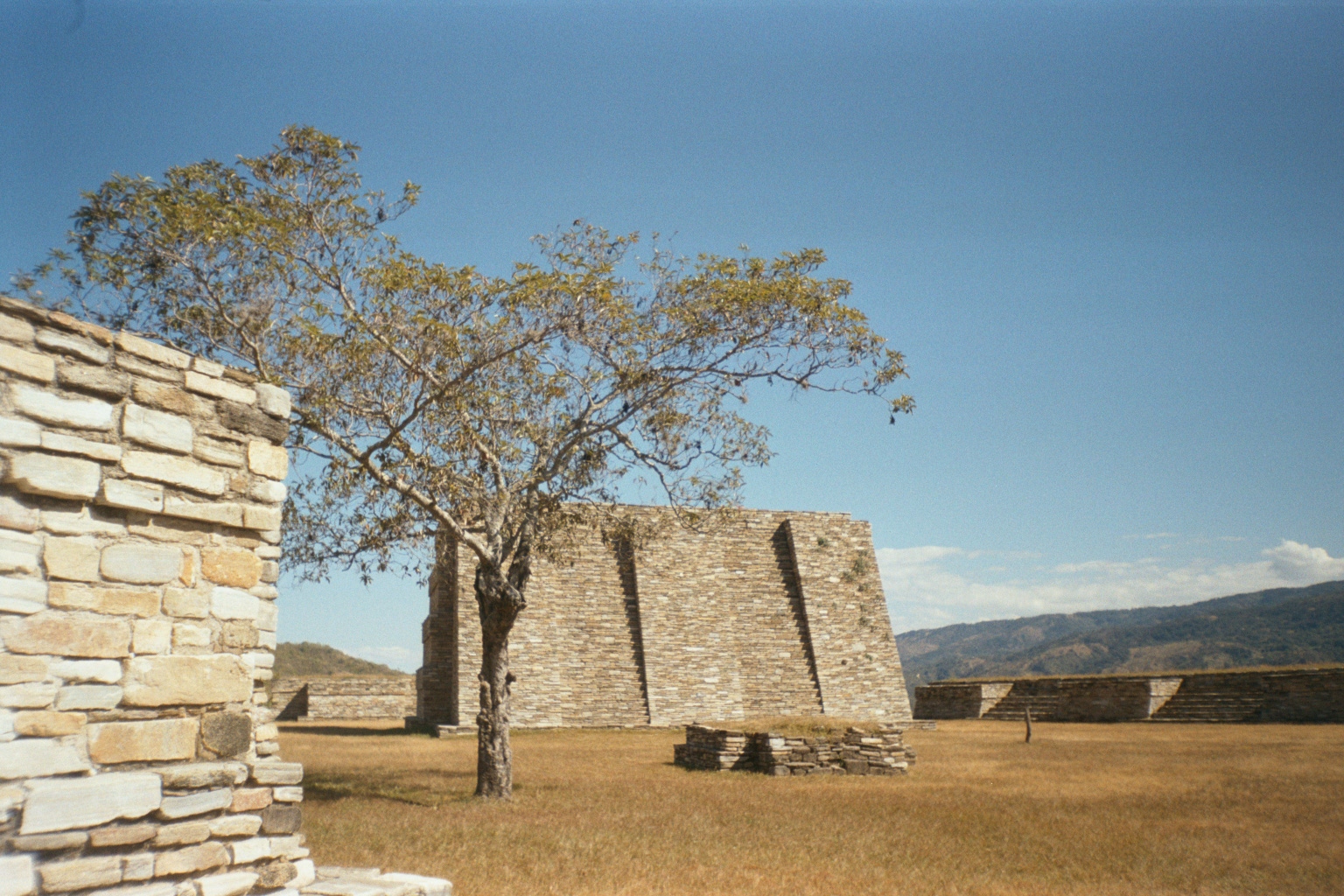
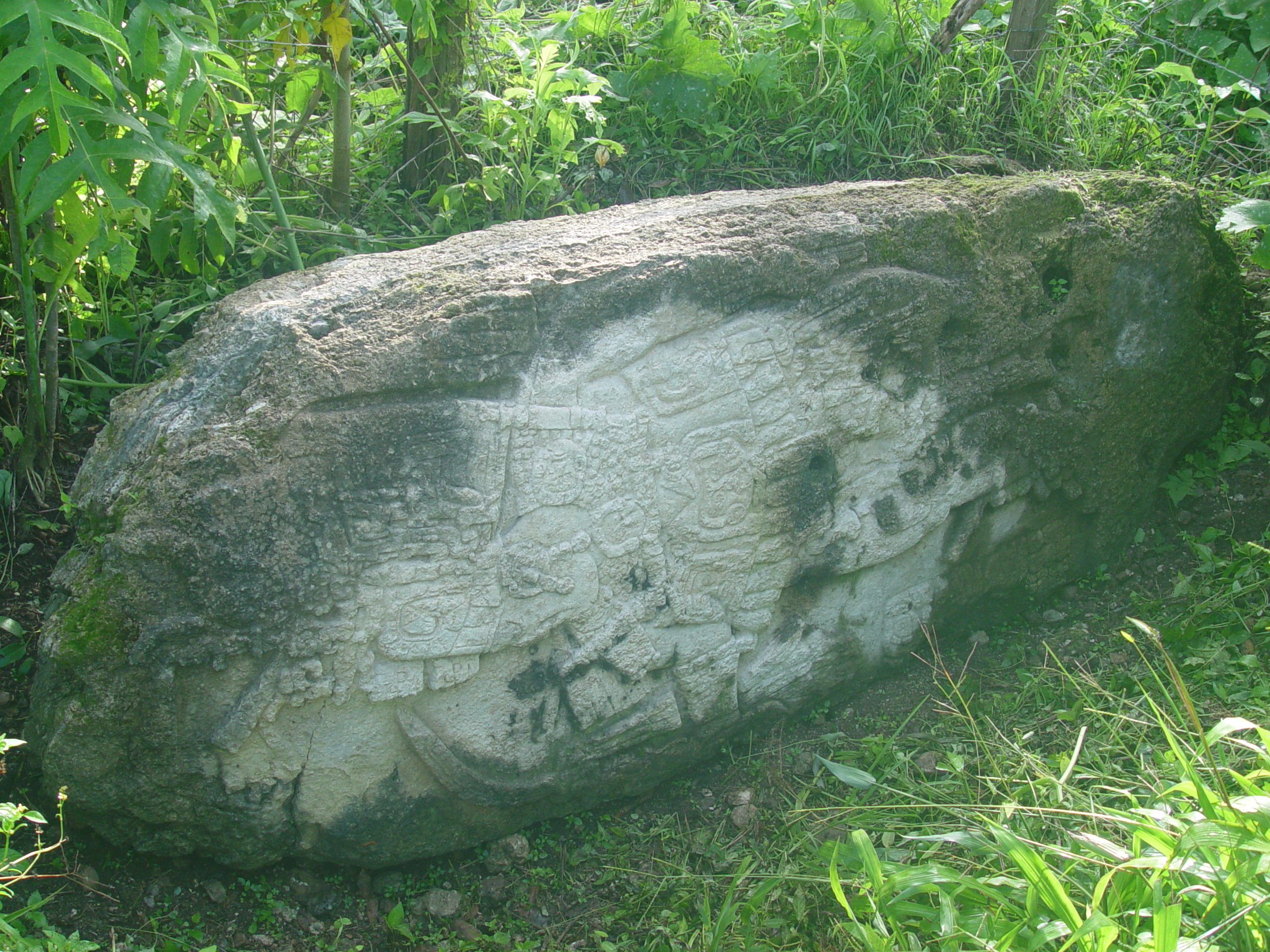
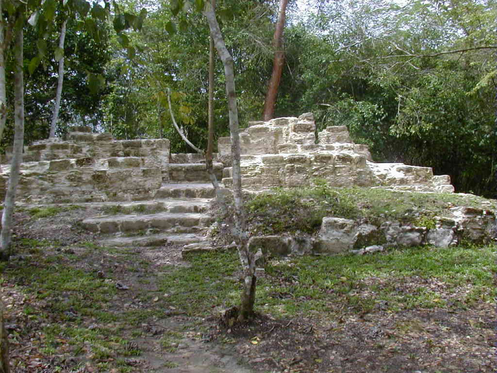
Mixco Viejo, an archaeological site in Guatemala, represents a significant historical city of the Postclassic Maya civilization. Initially identified as the Poqomam capital, recent archaeological studies have revealed it as Jilotepeque Viejo, the Chajoma kingdom's capital. The site is characterized by its strategic hilltop location, fortified with defensive walls, indicating its importance as a stronghold against hostile forces. Mixco Viejo features a variety of architectural structures, including temples, altars, ceremonial platforms, and ballcourts, illustrating the religious and social activities of its inhabitants. The city's construction and occupation during the Late Postclassic Period culminated in its involvement in the Spanish conquest of the region. The site's well-preserved ruins provide invaluable insights into the cultural and political dynamics of late Maya civilizations.
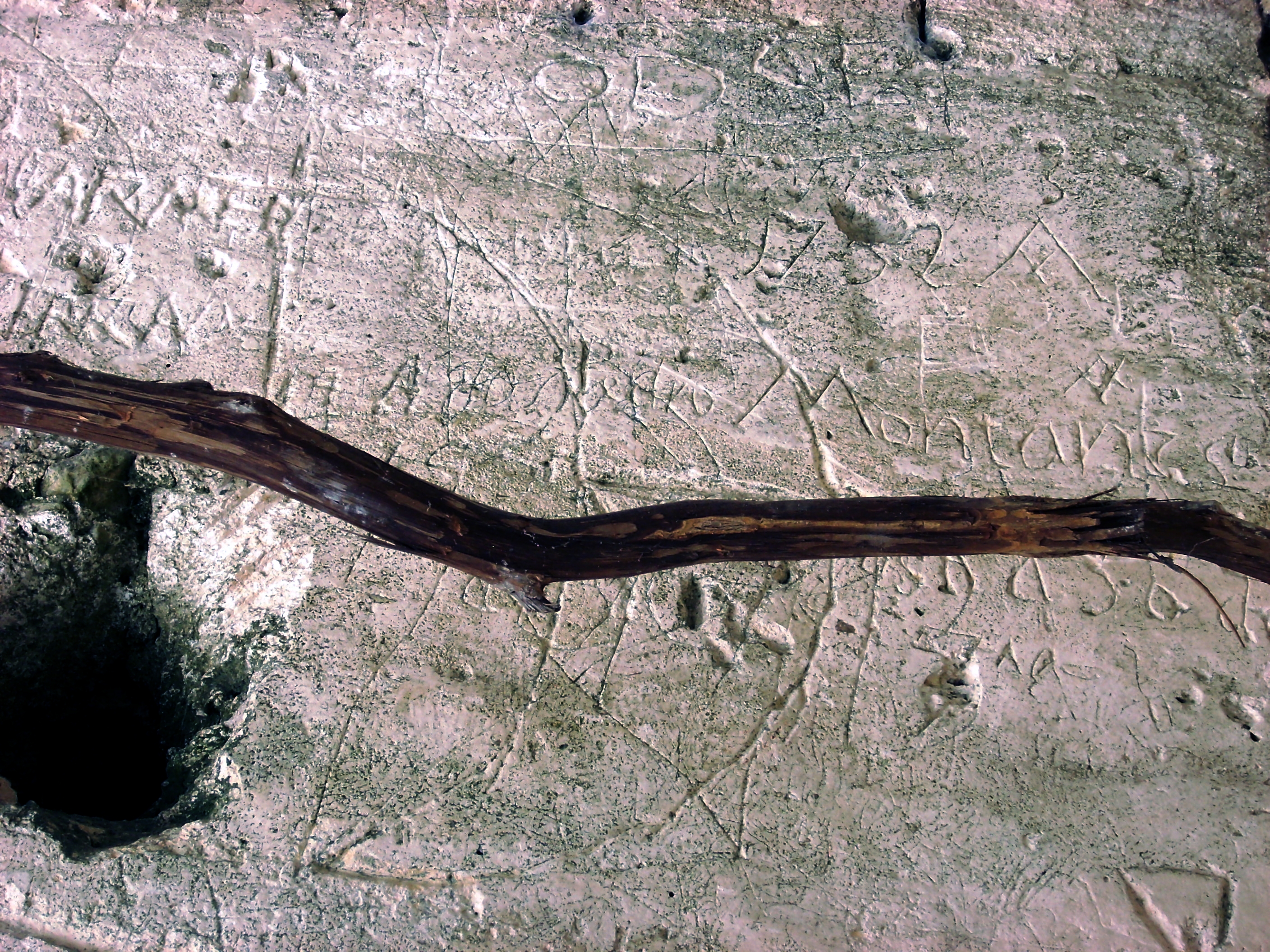
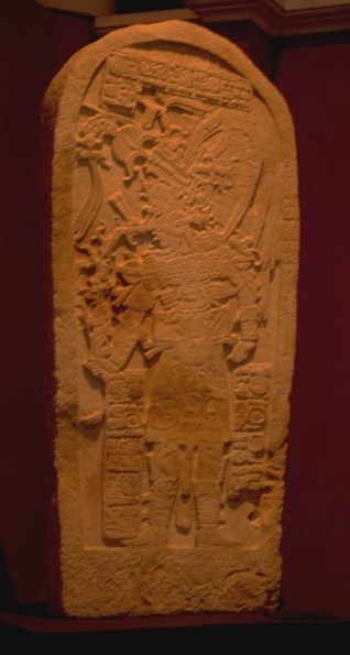
Gallery
Explore photographs of ancient structures, artifacts, and archaeological excavations

Historical Timeline
Journey through time and discover key events in this site's history
12th century foundation
12th century CE
1450 Chajoma settlement
1450 CE
1524 Spanish conquest
1524 CE
1525 Spanish capture
1525 CE
Archaeological Features
Unique architectural and cultural elements found at this historical site
Storage Structures
Defensive Structures
Military Installations
Miscellaneous Features
Animal Husbandry Features
Water Management Features
Public and Civic Structures
Burial and Funerary Structures
Industrial and Craft Structures
Religious and Ritual Structures
Artistic and Decorative Features
Agricultural and Land Use Features
Domestic and Habitation Structures
Environmental and Natural Features
Astronomical and Timekeeping Structures
Food Production and Processing Features
Transportation and Communication Structures
Frequently Asked Questions
Plan Your Visit
Tours, travel arrangements, and practical information
More Sites in Guatemala
Motul de San José
Significant Maya civic-ceremonial center.
Zapote Bobal
Maya site with palaces and pyramids.

Tamarindito
Ancient Maya city on a hill escarpment.
El Pilar
Ancient Maya city with plazas and temples
La Blanca, Peten
Mesoamerican site with acropolis and plazas
Machaquila
Major Maya city with sculpted monuments.