
Explore the Map
Ucanal
16.3167° N, -90.1000° E
About
Ucanal is a significant archaeological site of the ancient Maya civilization, strategically located near the source of the Belize River in present-day northern Guatemala. Notably, the site features two artificial irrigation channels and a collection of 114 structures, including palaces, temples, altars, and ballcourts, reflecting its importance in religious, civic, and social aspects. The city of Ucanal, historically known as K'anwitznal, played a crucial role in regional dynamics, evidenced by its interactions with nearby polities such as Tikal, Caracol, and Naranjo. Throughout its history, Ucanal experienced periods of conflict and subjugation, including attacks by Lady Six Sky of Naranjo and capture by Caracol. The site also witnessed the influence of Putun people in the 9th century CE, marking significant shifts in power and cultural exchange in the region.
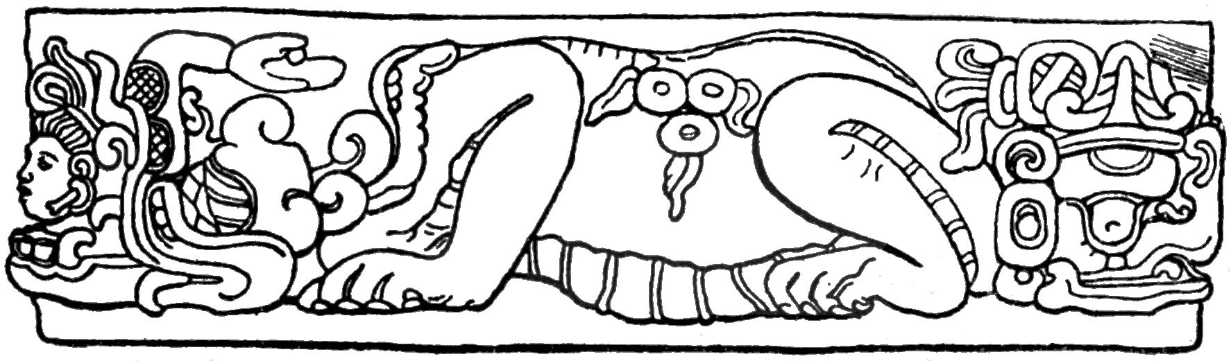
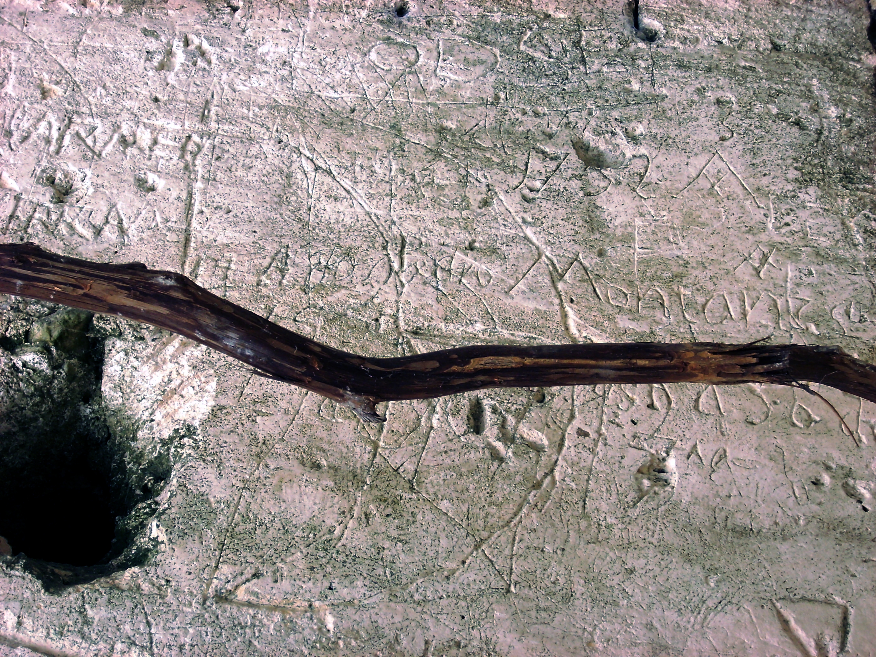
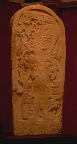
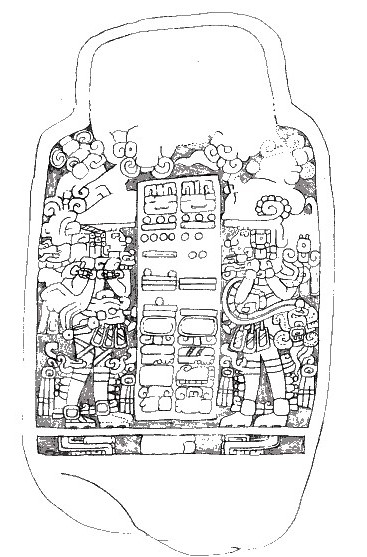
Gallery
Explore photographs of ancient structures, artifacts, and archaeological excavations
Historical Timeline
Journey through time and discover key events in this site's history
Capture of Kinich Cab
1 February 695 CE
Release of Kinich Cab
22 June 712 CE
Early Rulership
7th century CE
Attack by Lady Six Sky
September 693 CE, December 693 CE
Putun Influence
9th century CE
Capture by Caracol
800 CE
Installation of Wat'ul Chatel
830 CE
Archaeological Features
Unique architectural and cultural elements found at this historical site
Recreational Features
Water Management Features
Public and Civic Structures
Religious and Ritual Structures
Domestic and Habitation Structures
Frequently Asked Questions
Plan Your Visit
Tours, travel arrangements, and practical information


More Sites in Guatemala
La Blanca, Peten
Mesoamerican site with acropolis and plazas

Tamarindito
Ancient Maya city on a hill escarpment.
Motul de San José
Significant Maya civic-ceremonial center.
Machaquila
Major Maya city with sculpted monuments.
Takalik Abaj
Large Mesoamerican site with Olmec-Maya features.

Mixco Viejo
Postclassic Maya fortified city with temples.