
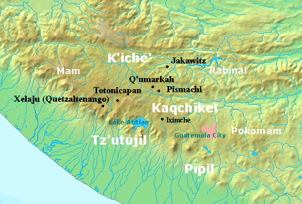
Explore the Map
Chitinamit
15.2892° N, -91.0892° E
About
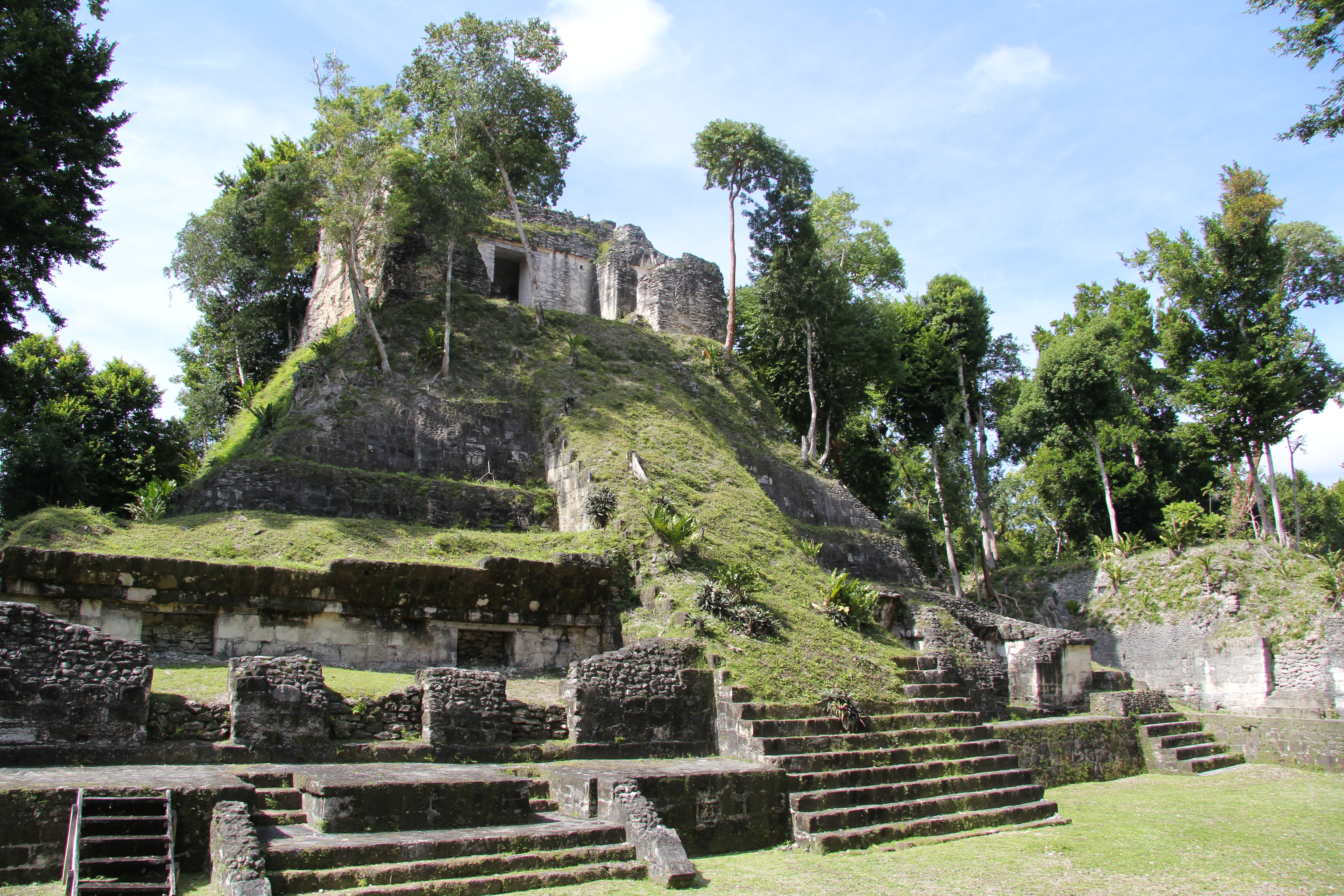
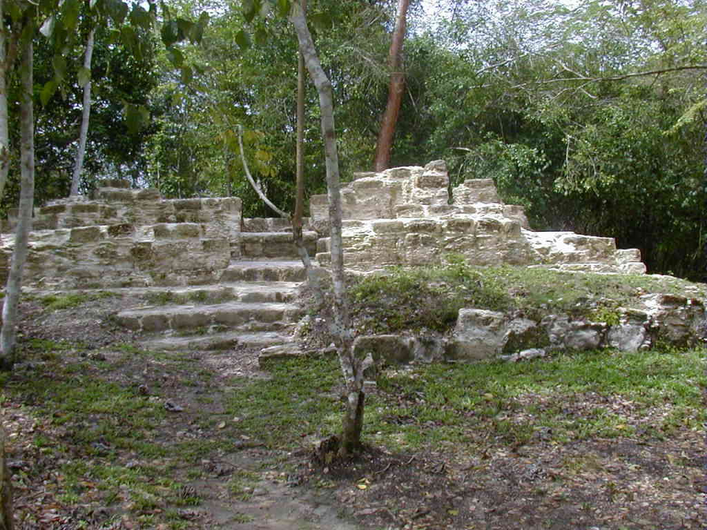
Chitinamit, also known as Chitinamit-Chujuyup, is an archaeological site located in the highlands of Guatemala, identified as the first capital of the K'iche' Maya. The site, dating from the Early Classic to the Late Postclassic periods, spans approximately 2 hectares, making it the largest site in its region. Perched on the rugged mountain of Chujuyup, the defensible location features a stone rampart, stone terraces, a ballcourt, and a temple dedicated to the K'iche' patron god, Jakawitz. Evidence suggests that the site experienced a violent end, marked by numerous projectile points and the burning of buildings. The architecture reflects the intrusive style of K'iche' lineages, distinct from the original Maya inhabitants, and is organized around a central enclosed plaza, underscoring its significance as a political and religious center.
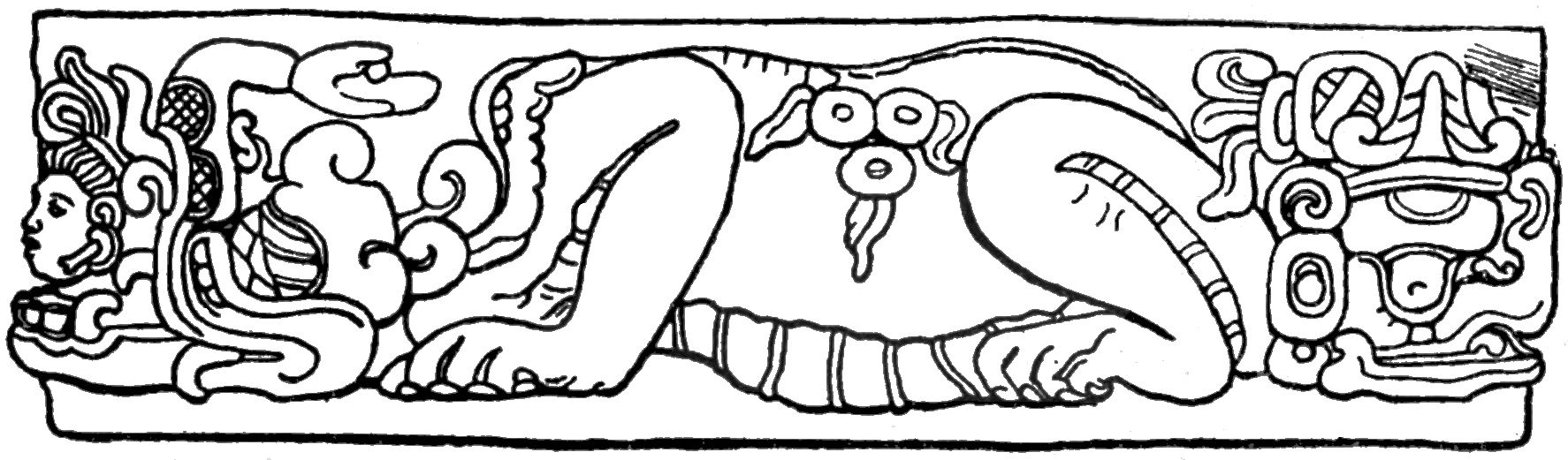
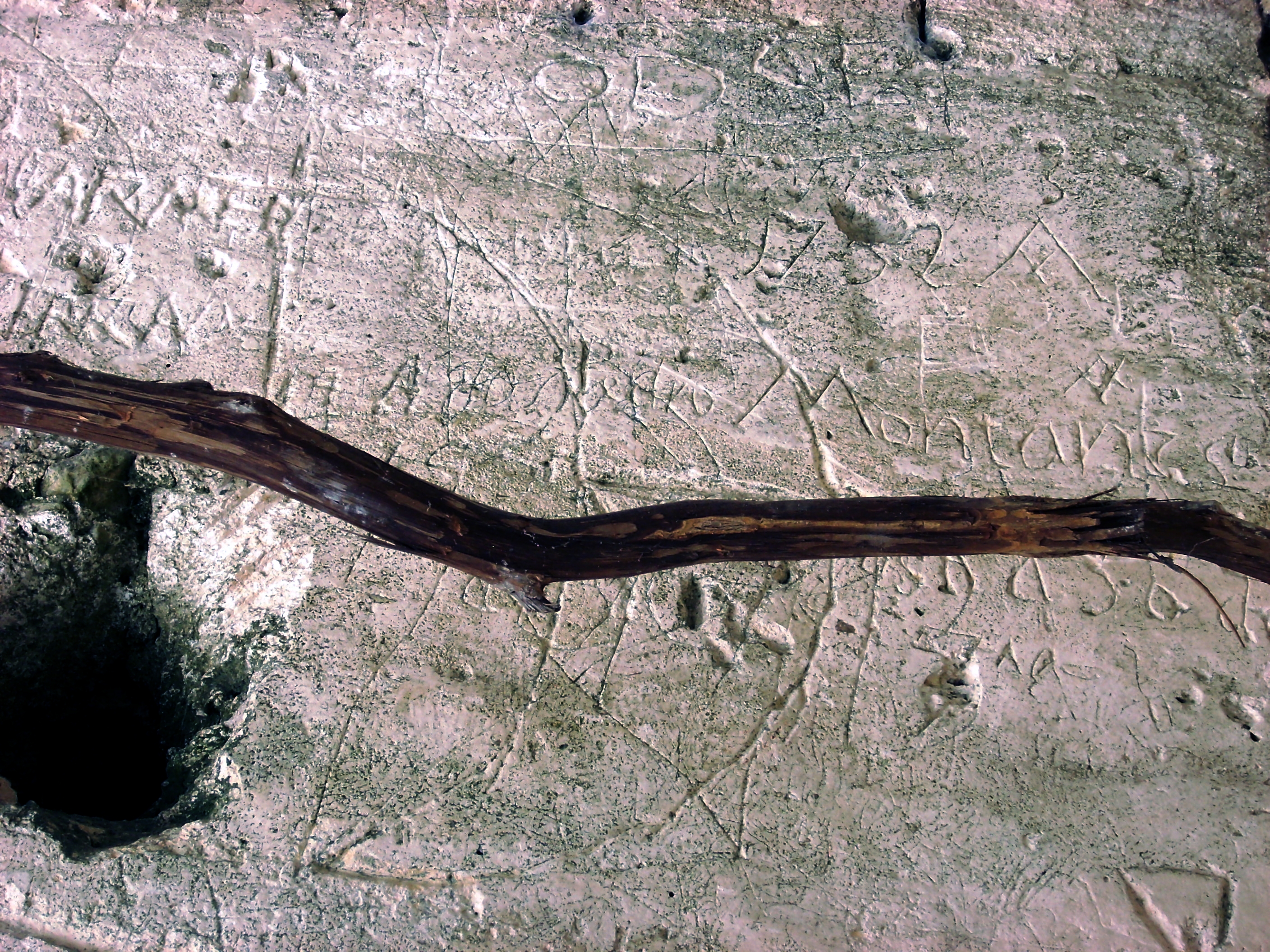
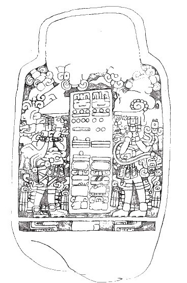
Gallery
Explore photographs of ancient structures, artifacts, and archaeological excavations
Historical Timeline
Journey through time and discover key events in this site's history
Early Classic Occupation
250 CE
Late Postclassic Destruction
1450 CE
Archaeological Features
Unique architectural and cultural elements found at this historical site
Defensive Structures
Public and Civic Structures
Religious and Ritual Structures
Agricultural and Land Use Features
Frequently Asked Questions
Plan Your Visit
Tours, travel arrangements, and practical information
More Sites in Guatemala
La Blanca, Peten
Mesoamerican site with acropolis and plazas
Takalik Abaj
Large Mesoamerican site with Olmec-Maya features.
Xultun
Large Classic Maya archaeological complex

Tamarindito
Ancient Maya city on a hill escarpment.
Nakum
Restored Maya site with monumental architecture.
El Pilar
Ancient Maya city with plazas and temples