Explore the Map
Tabán ruins
47.4920° N, 19.0429° E
About
The Tabán ruins (Hungarian: tabáni romok) are a group of medieval ruins in Budapest, Hungary. They are located in District I, in the Tabán neighbourhood, between Szarvas tér and Krisztina körút. The scattered ruins officially belong to one listed monument (ID 67). The remains of the mainly medieval structures were discovered in 1936 by archaeologists after the demolition of a large part of the densely built Tabán quarter but significant parts of them disappeared in the 1960s when the whole area was restructured. A 15th-century building, named Building I, and a retaining wall by the Ördög-árok stream are still visible above ground.
Historical Timeline
Journey through time and discover key events in this site's history
Eravisci settlement to end of 1st century AD
1st century AD
Committee visit on preservation
23 July 1936
Municipal Institute excavations and medieval discoveries
29 May–19 November 1936
Pannonian statio in use
c. 80–150
Roman watchtower constructed by Frigeridus
374–375
Demolition of central Tabán and park creation
1933–1934
Initial surveys in cellars
1934
1935 excavations in Tabán
1935
Conservation works begin
September 1936
Archaeological park completed
By summer 1938
Siege of Budapest and damage
1944–1945
Area restructuring and truncation of ruins
1962
Archaeological Features
Unique architectural and cultural elements found at this historical site
Storage Structures
Defensive Structures
Miscellaneous Features
Artistic and Decorative Features
Agricultural and Land Use Features
Domestic and Habitation Structures
Environmental and Natural Features
Food Production and Processing Features
Transportation and Communication Structures
Frequently Asked Questions
Plan Your Visit
Tours, travel arrangements, and practical information


More Sites in Hungary
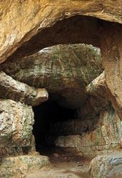
Bathory Cave
Geothermally formed limestone cave with passages.
Szelim cave
Large karstic cave in northwestern Hungary
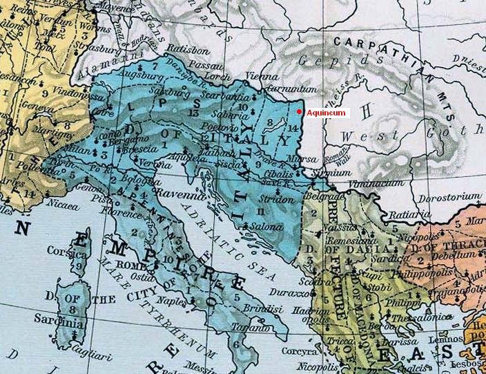
Aquincum
Ancient Roman city with extensive ruins
Early Christian Necropolis of Pécs (Sopianae)
<p>In the 4th century, a remarkable series of decorated tombs were constructed in the cemetery of the Roman provincial town of Sopianae (modern Pécs). These…
Old Village of Hollókő and its Surroundings
<p>Hollokö is an outstanding example of a deliberately preserved traditional settlement. This village, which developed mainly during the 17th and 18th…
Budapest, including the Banks of the Danube, the Buda Castle Quarter and Andrássy Avenue
<p>This site has the remains of monuments such as the Roman city of Aquincum and the Gothic castle of Buda, which have had a considerable influence on the…