
Explore the Map
Shuruppak
31.7775° N, 45.5097° E
About
Shuruppak, located in modern-day Tell Fara, Iraq, was an ancient Sumerian city that played a significant role in early Mesopotamian civilization. Positioned strategically on the banks of the Euphrates River, it was a major urban center dedicated to Ninlil, the goddess of grain and the air. Archaeological evidence suggests its habitation began during the Jemdet Nasr period around 3000 BCE, with significant growth during the Early Dynastic period. Shuruppak is notable for its association with Sumerian flood myths and the legendary figure Utnapishtim. The city reached its zenith during the Early Dynastic III period, covering approximately 100 hectares, before declining under the Akkadian Empire. It was eventually abandoned around 2000 BCE due to a prolonged drought. The site offers valuable insights into early urban development, religious practices, and responses to environmental changes in ancient Mesopotamia.
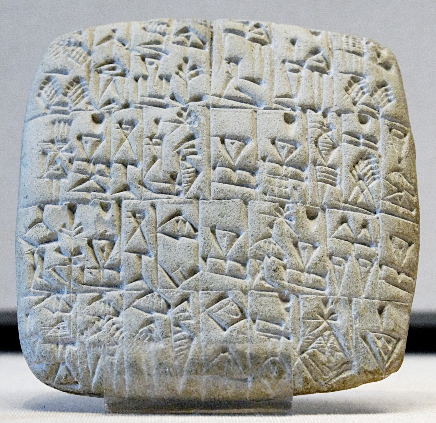
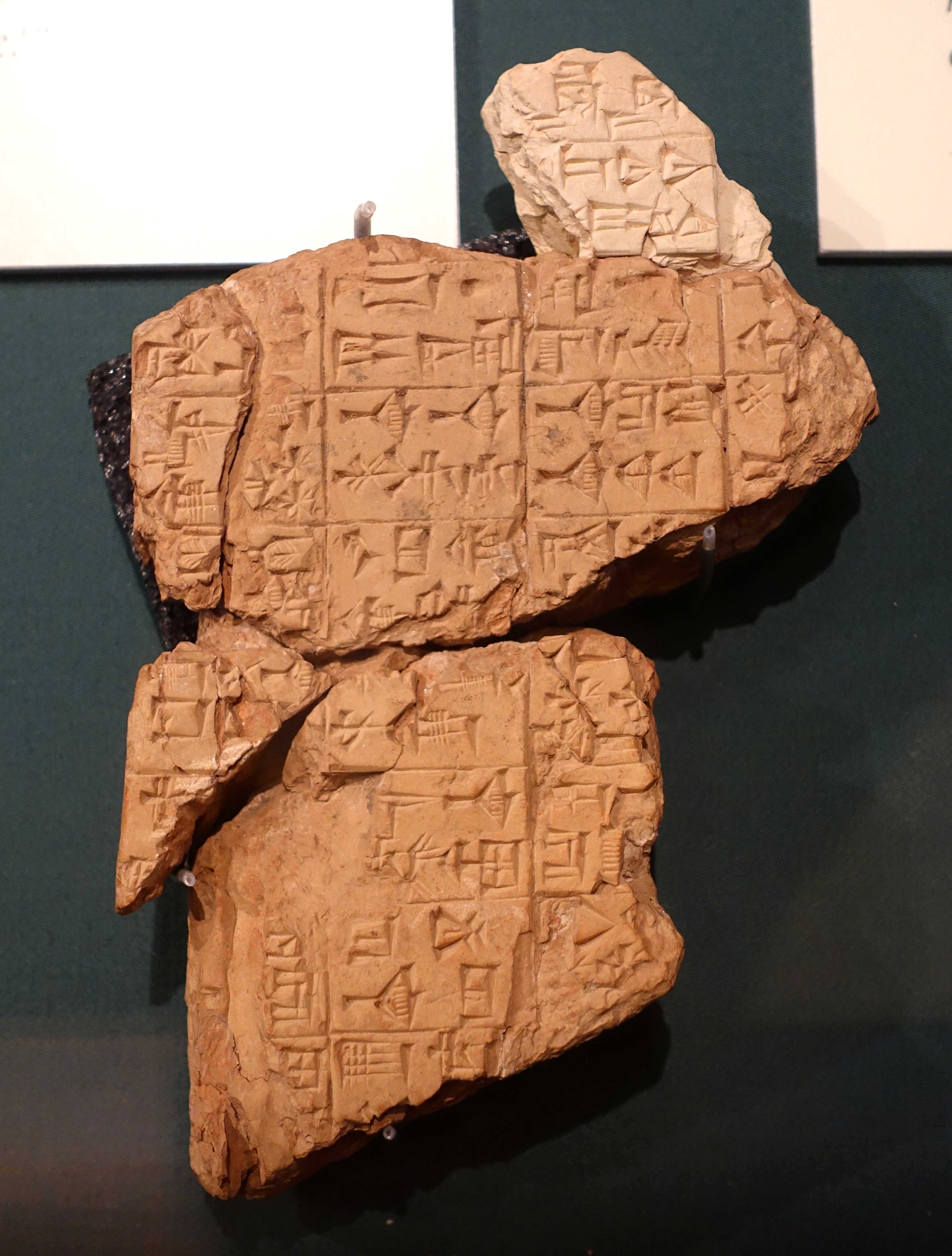
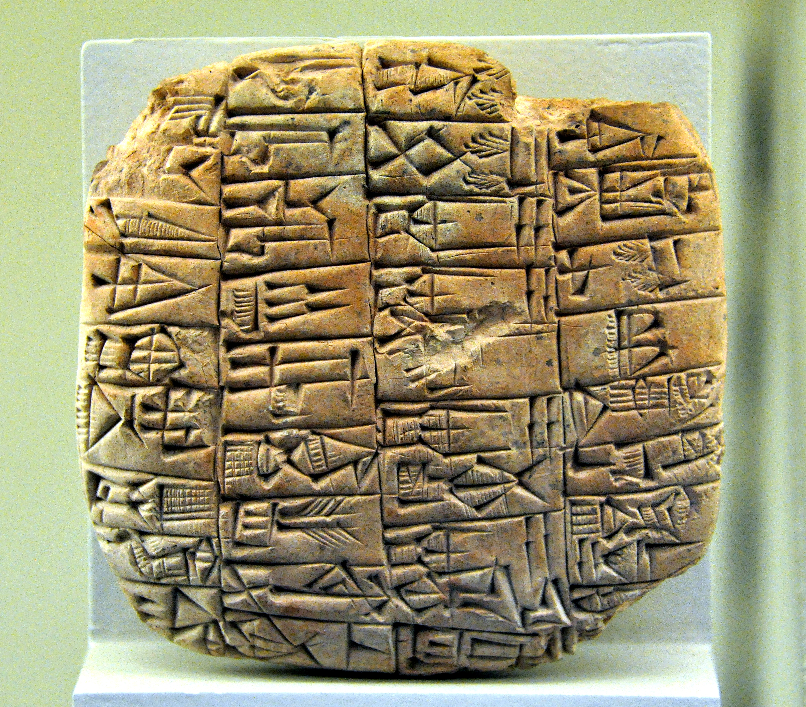
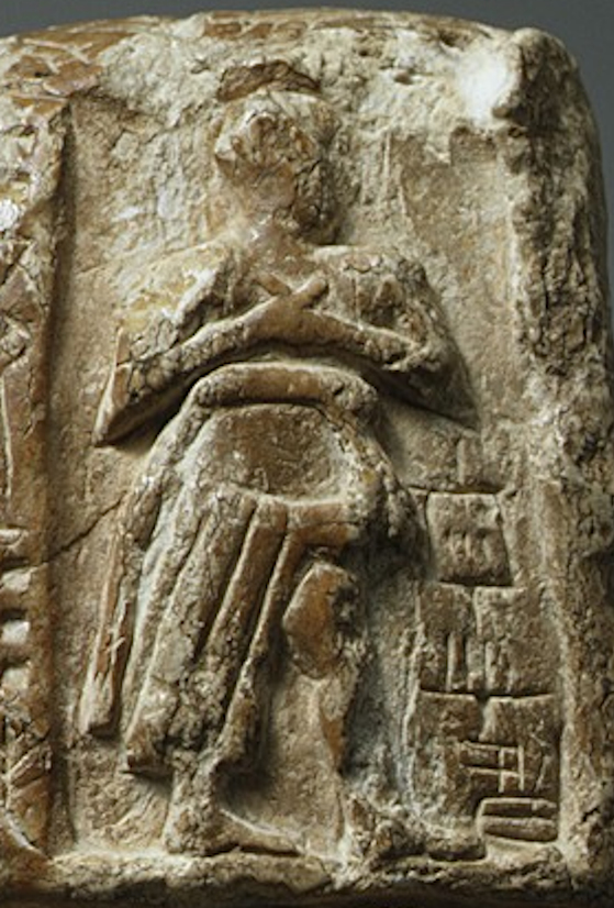
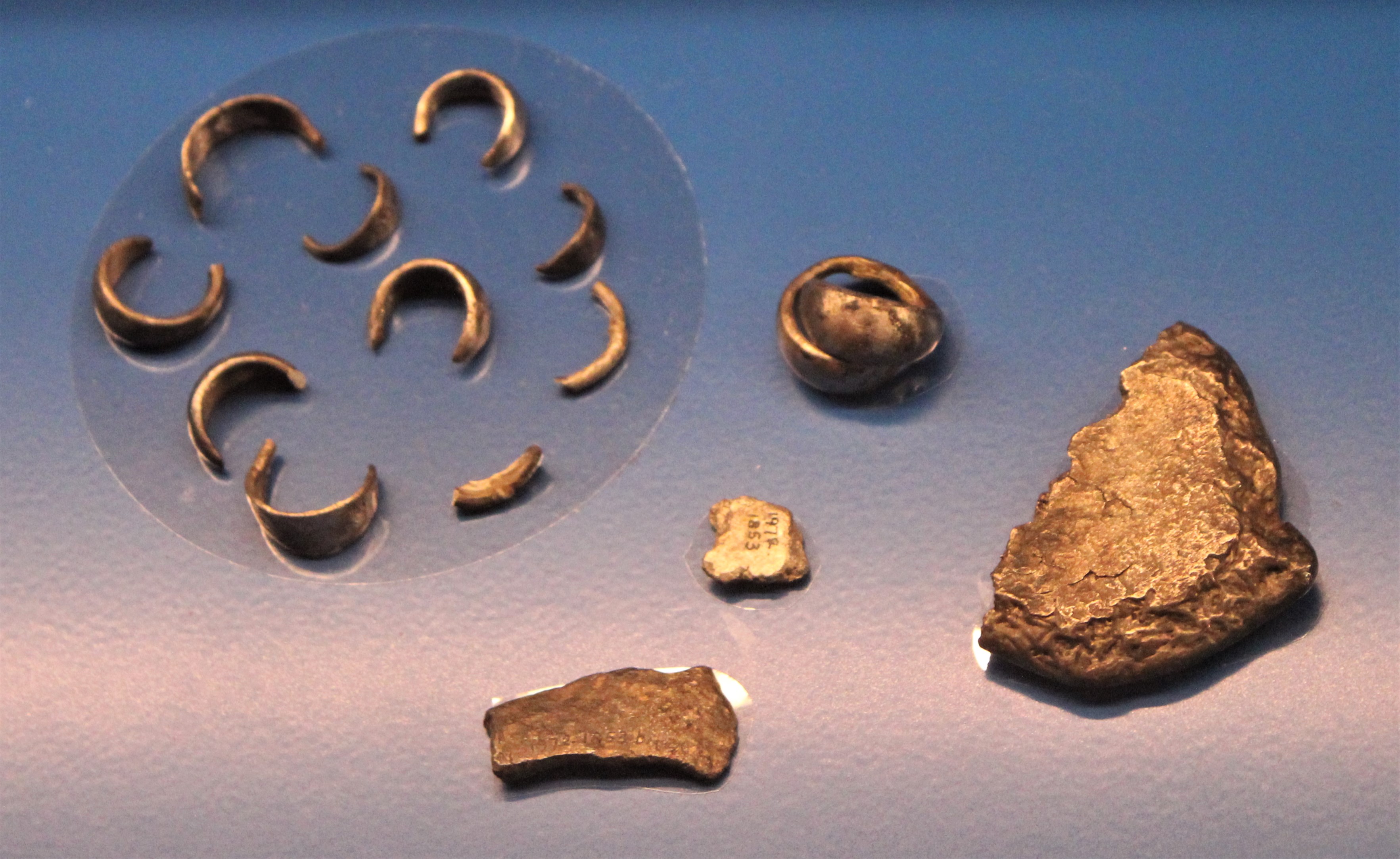
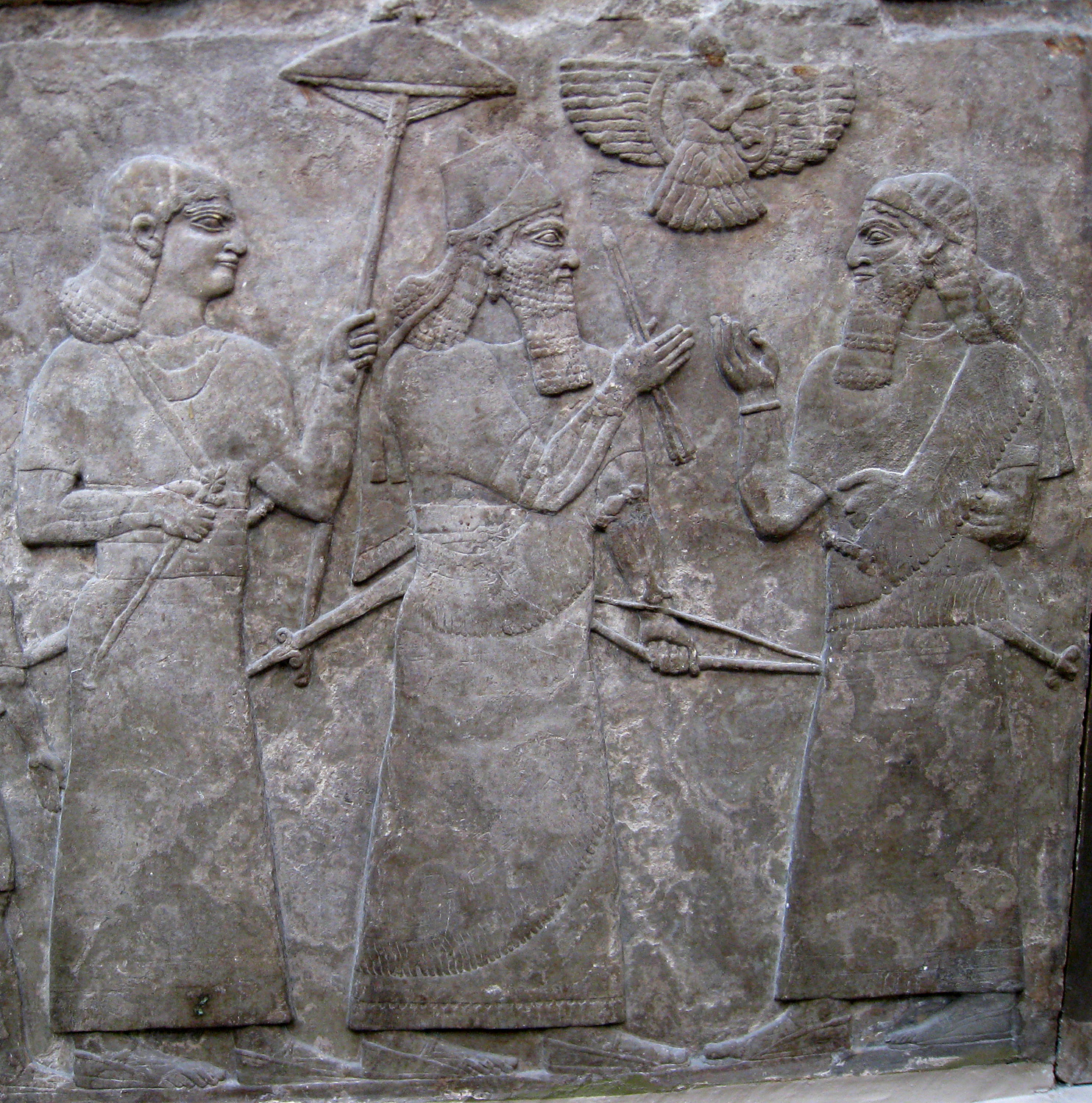
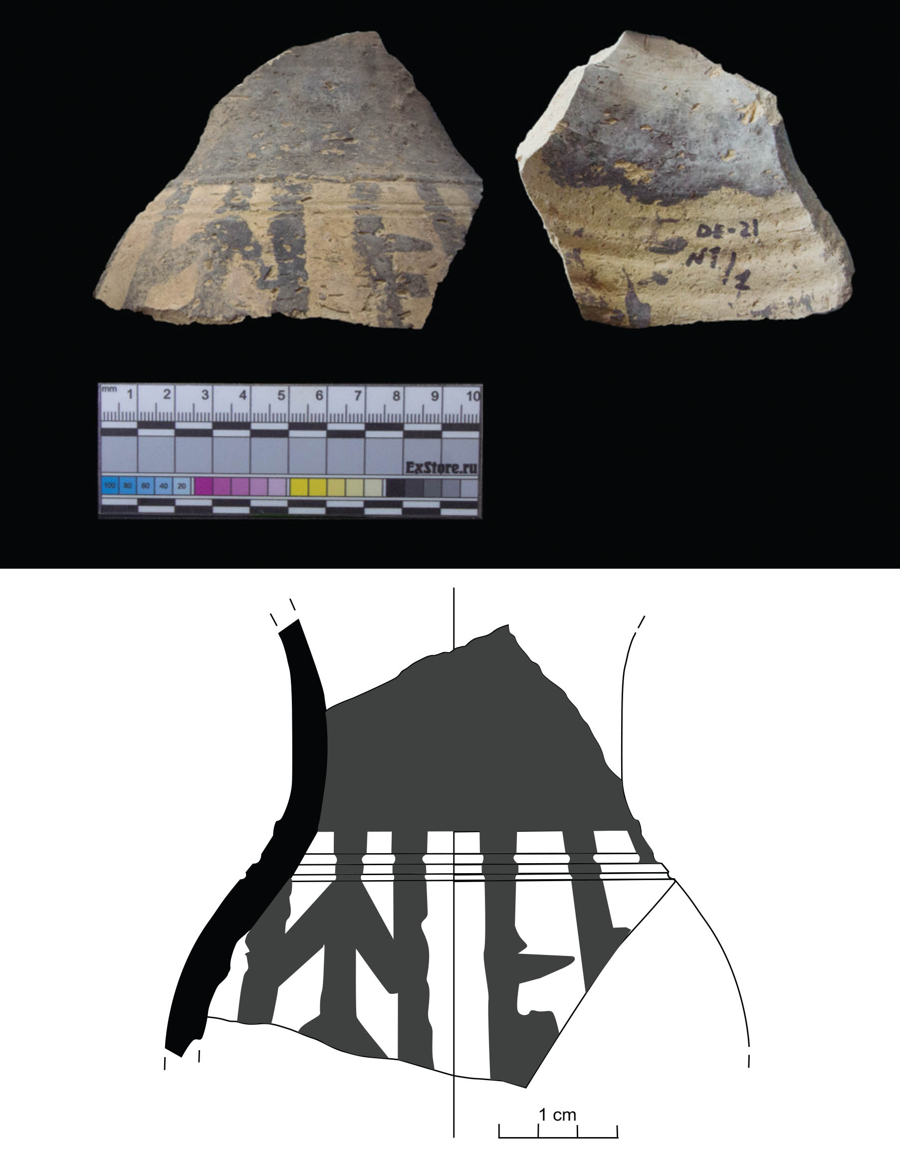
Gallery
Explore photographs of ancient structures, artifacts, and archaeological excavations
Historical Timeline
Journey through time and discover key events in this site's history
Jemdet Nasr period occupation
3000 BCE
Early Dynastic II city expansion
2600 BCE
Early Dynastic III peak
2350 BCE
Akkadian period decline
2154 BCE
Ur III period governance
2100 BCE
Middle Bronze I abandonment
2000 BCE
Archaeological Features
Unique architectural and cultural elements found at this historical site
Defensive Structures
Miscellaneous Features
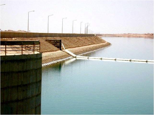
Water Management Features
Burial and Funerary Structures
Domestic and Habitation Structures
Frequently Asked Questions
Plan Your Visit
Tours, travel arrangements, and practical information
More Sites in Iraq
Larsa
Sumerian city-state and temple complex, Isin–Larsa period
Tell Yelkhi
Oval mound with Kassite and earlier remains.
Tell Taya
Ancient hill city with fortifications and artifacts.
Tell Khoshi
Oval walled city with two mounds.
Assur
Ancient Assyrian city on the Tigris River
Tell Dehaila
Ancient tell site with mudbrick structures