Explore the Map
Larsa
31.2858° N, 45.8536° E
About
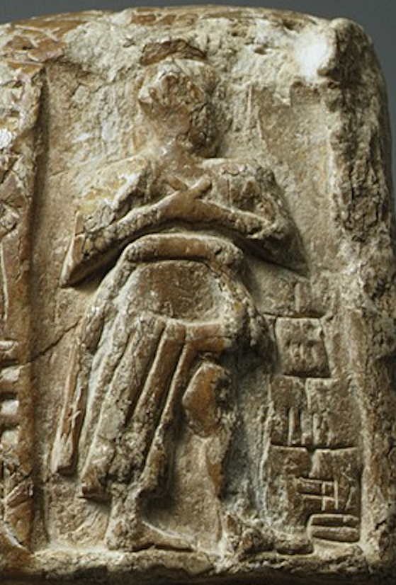
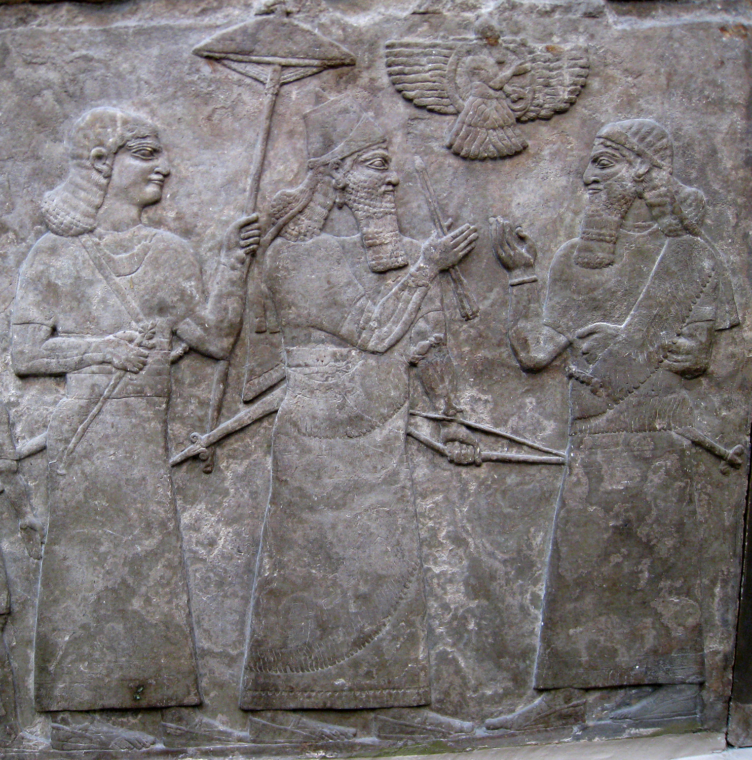
Larsa (Sumerian: 𒌓𒀕𒆠, romanized: UD.UNUGKI, read Larsamki), also referred to as Larancha/Laranchon (Gk. Λαραγχων) by Berossos and connected with the biblical Ellasar, was an important city-state of ancient Sumer, the center of the cult of the sun god Utu with his temple E-babbar. It lies some 25 km (16 mi) southeast of Uruk in Iraq's Dhi Qar Governorate, near the east bank of the Shatt-en-Nil canal at the site of the modern settlement Tell as-Senkereh or Sankarah. Larsa is thought to be the source of a number of tablets involving Babylonian mathematics, including the Plimpton 322 tablet that contains patterns of Pythagorean triples.
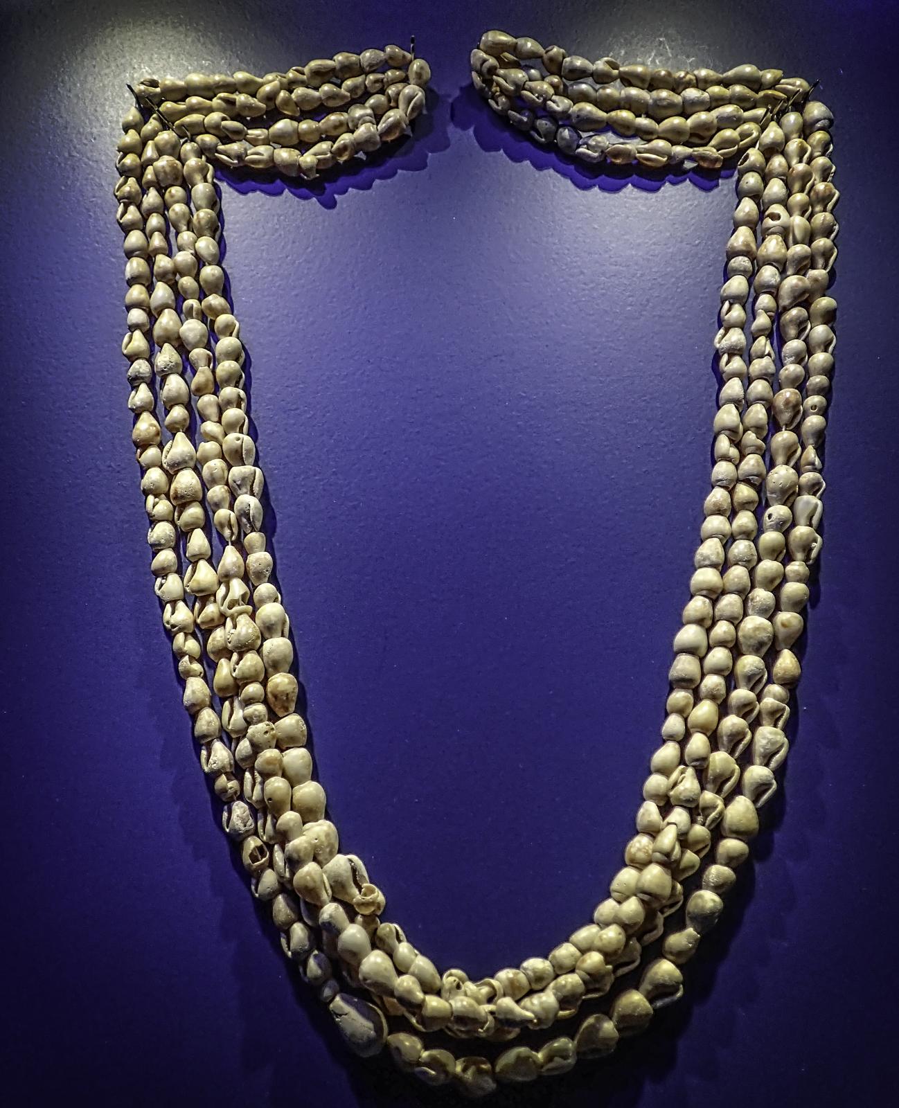
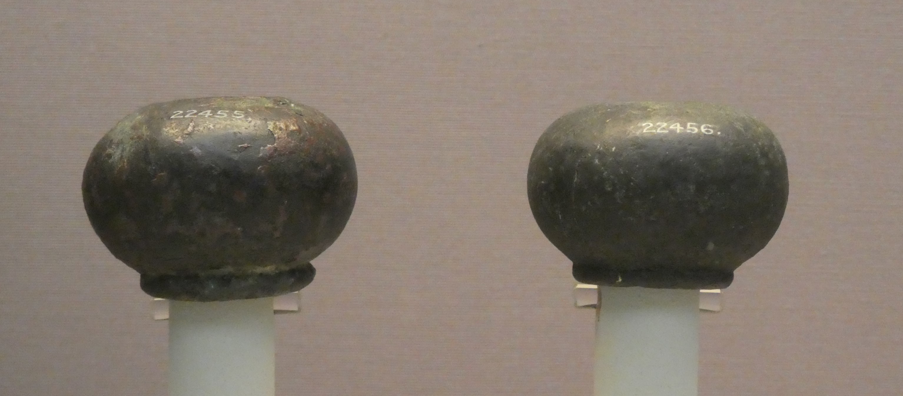
Gallery
Explore photographs of ancient structures, artifacts, and archaeological excavations


Historical Timeline
Journey through time and discover key events in this site's history
Site abandonment
1st century BC
Destruction of the E-babbar by fire
2nd century BC
Tablet dated to Philip Arrhidaeus
c. 320 BC
Peak under Rim-Sin I
c. 1822–1763 BC
Early exploratory excavations by Loftus
1850
20th-century visits and excavations
1903–1933
French excavation seasons (Margueron and Huot)
1969–1991
Collapse of the Third Dynasty of Ur
c. 2004 BC
Recent fieldwork and surveys resumed
2019–2022
Annexation by Eannatum of Lagash
c. 2500–2400 BC
Proto-cuneiform attestations
late 4th millennium BC
Archaeological Features
Unique architectural and cultural elements found at this historical site
Defensive Structures
Water Management Features
Public and Civic Structures
Religious and Ritual Structures
Artistic and Decorative Features
Agricultural and Land Use Features
Domestic and Habitation Structures
Environmental and Natural Features
Transportation and Communication Structures
Frequently Asked Questions
Plan Your Visit
Tours, travel arrangements, and practical information
More Sites in Iraq
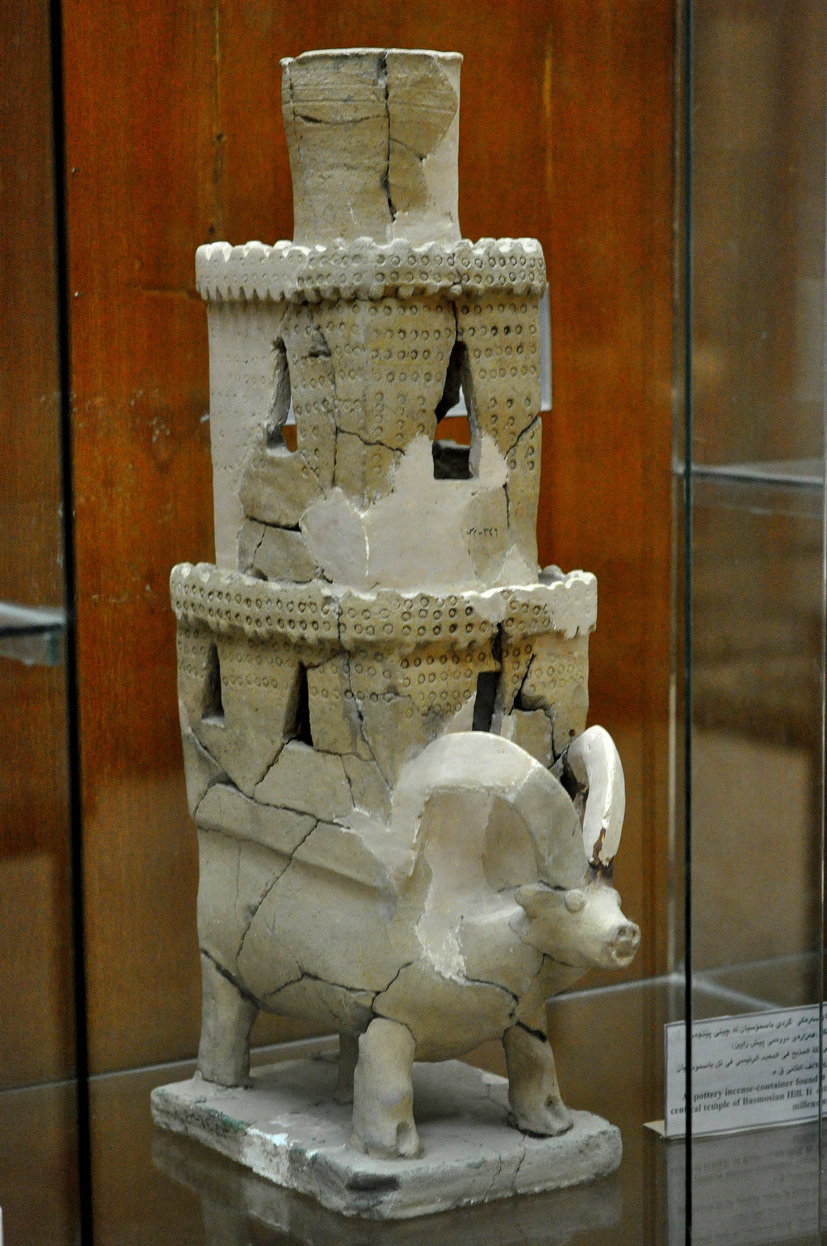
Tell Bazmusian
Large tell site with multi-period occupation.
Tell Taya
Ancient hill city with fortifications and artifacts.
Tell al-Lahm
Oblong mound with city wall remnants
Assur
Ancient Assyrian city on the Tigris River
Tepe Gawra
Ancient Mesopotamian settlement with diverse remains
Tell Muhammad
Ancient site with fortifications and tablets