
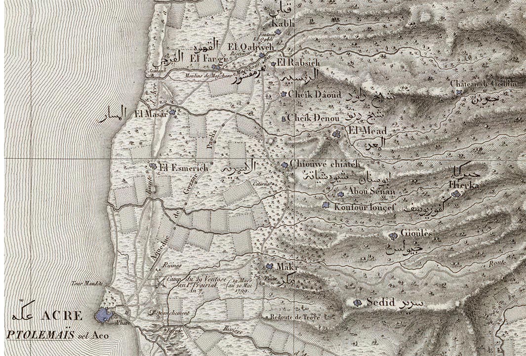
Explore the Map
Beit Guvrin-Maresha National Park
31.5970° N, 34.9006° E
About
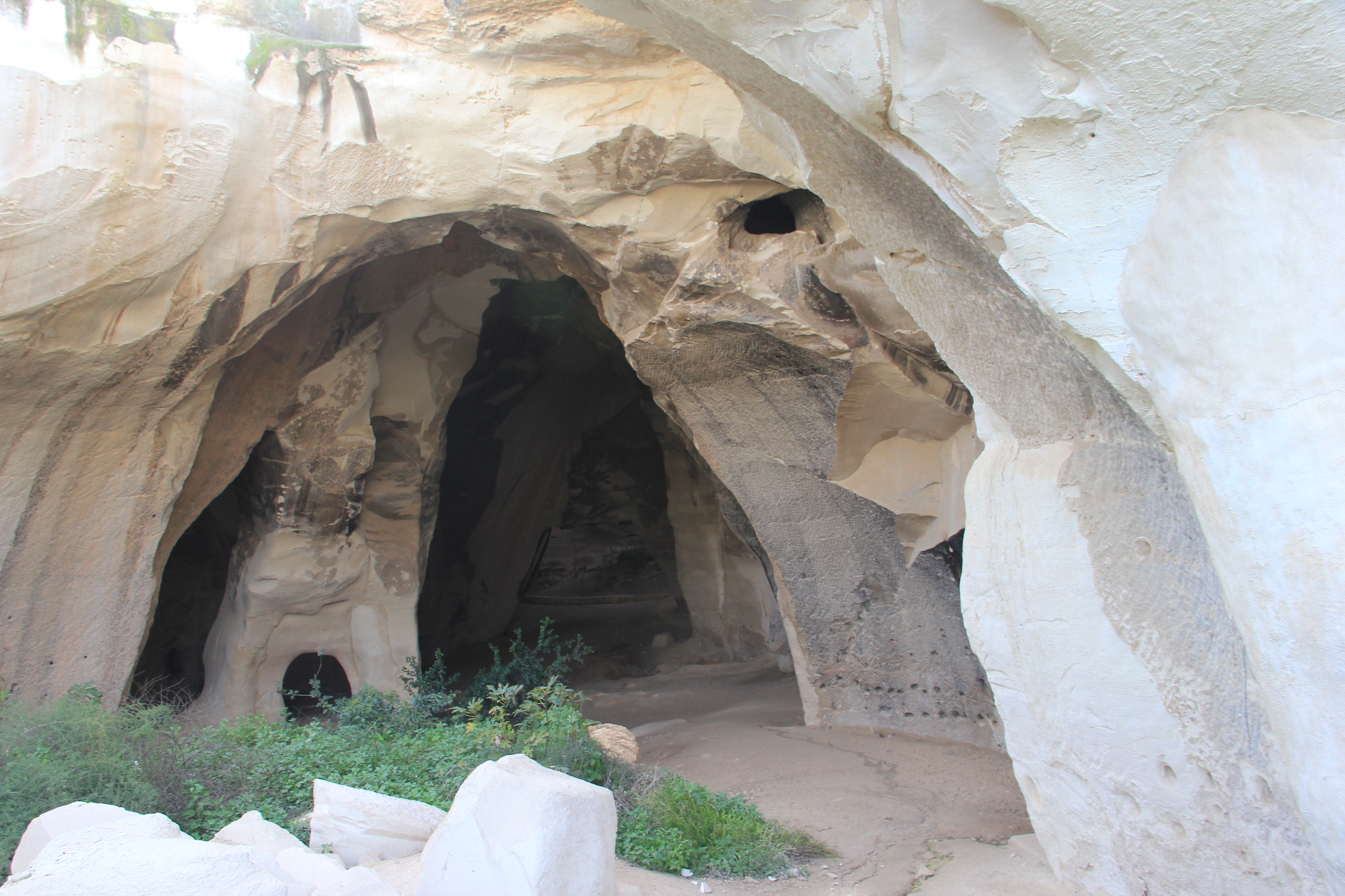
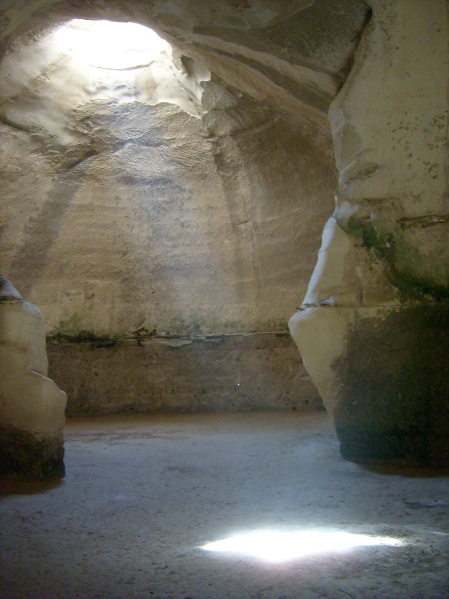
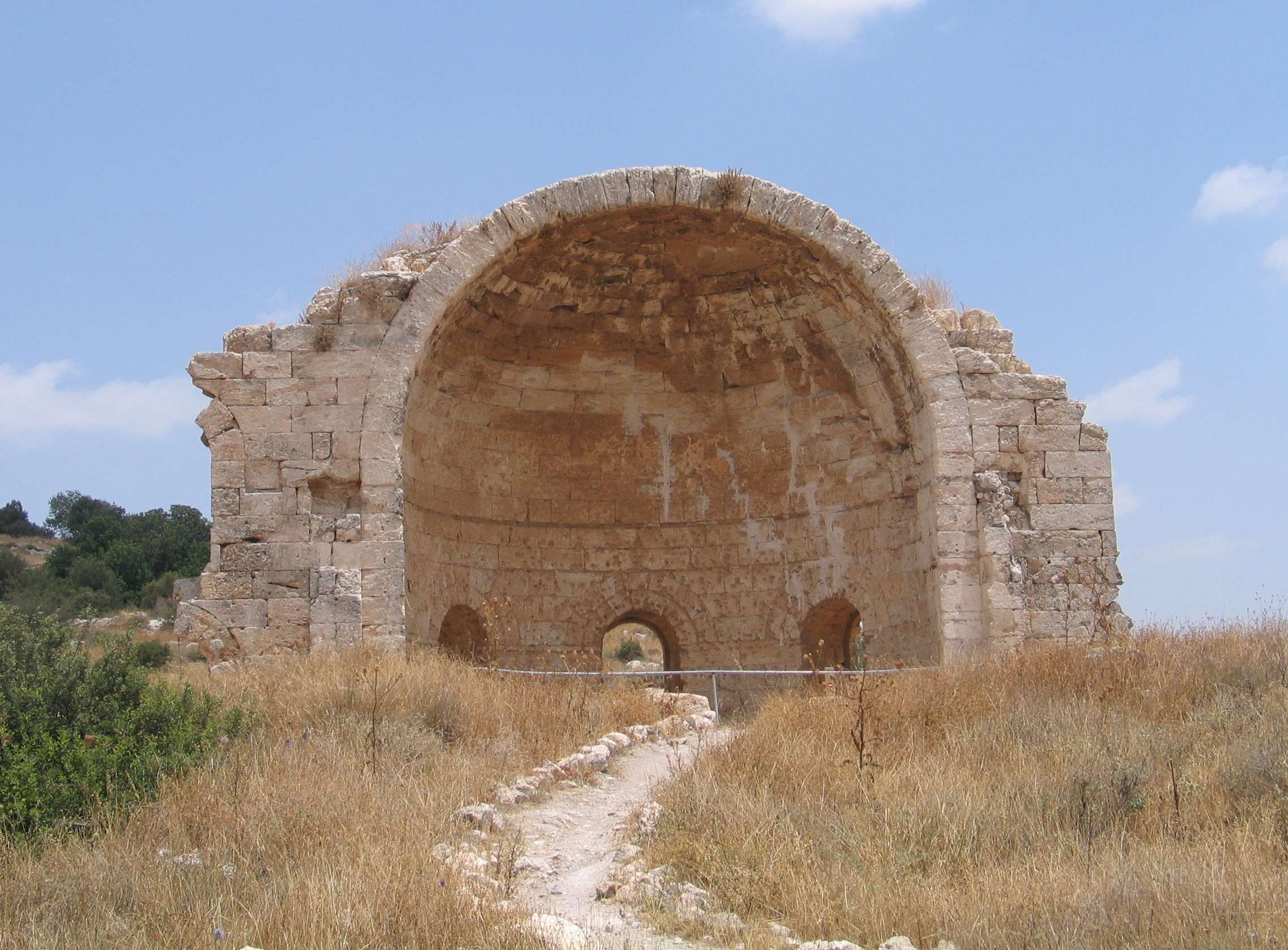
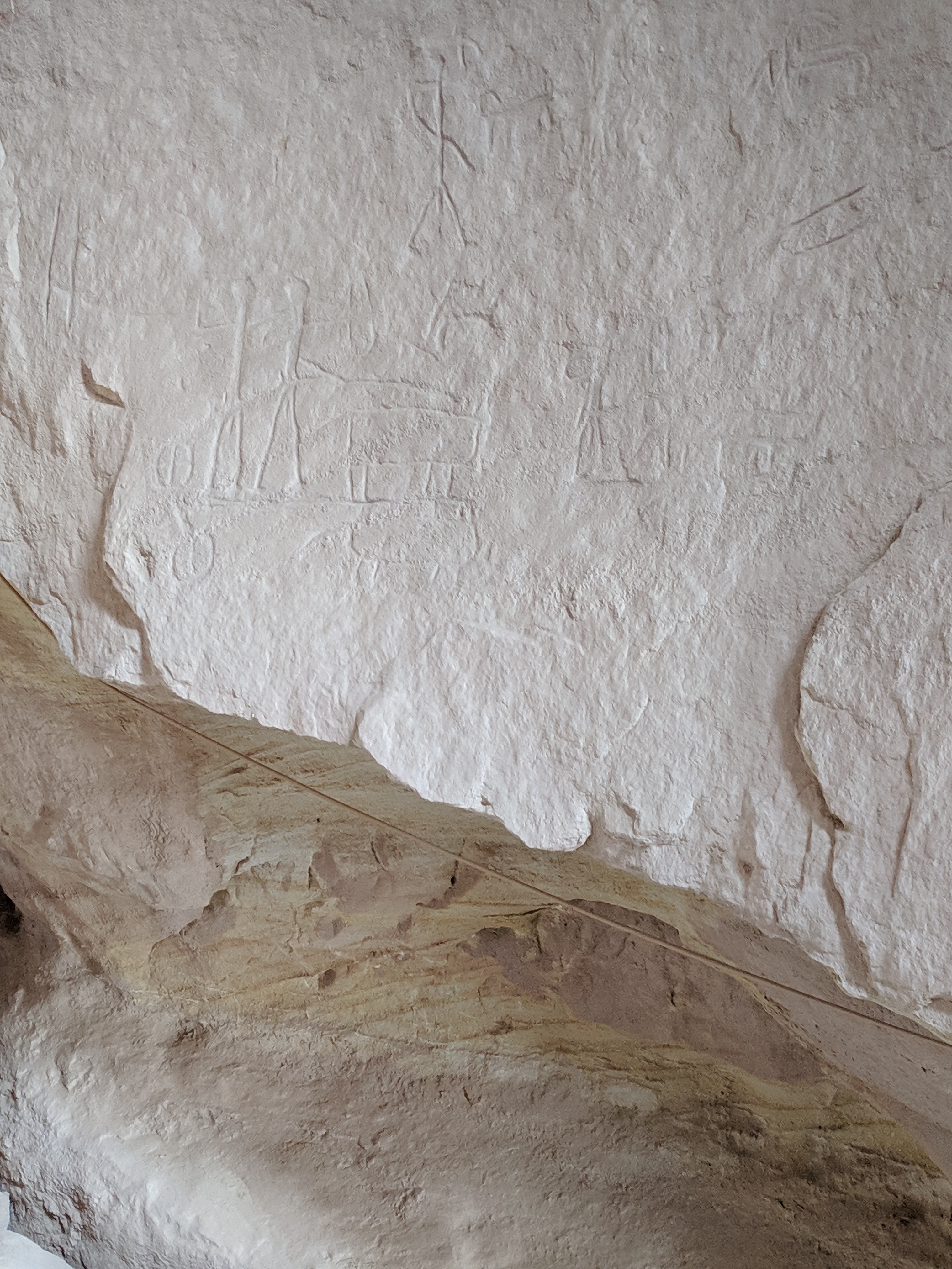
Beit Guvrin-Maresha National Park, located in central Israel, is a significant archaeological site encompassing a vast network of caves and the remains of ancient towns, including Maresha and Bayt Jibrin, known in the Roman era as Eleutheropolis. The site is renowned for its extensive underground cave systems, used historically for habitation, burial, and industrial purposes, such as olive oil production. Key features include a Roman-Byzantine amphitheater, public baths, mosaics, and the distinctive painted Sidonian burial caves. The site's timeline spans from the Late Bronze Age through the Byzantine period, reflecting a rich history of occupation and cultural transitions. Recognized by UNESCO as a World Heritage Site, Beit Guvrin-Maresha offers valuable insights into the ancient civilizations of the region.
Gallery
Explore photographs of ancient structures, artifacts, and archaeological excavations
Historical Timeline
Journey through time and discover key events in this site's history
Earliest Reference
14th century BCE
Fortified by Rehoboam
10th century BCE
Edomite Control
6th century BCE
Sidonian Settlement
3rd century BCE
Maccabean Destruction
112 BCE
Parthian Devastation
40 BCE
Byzantine Period
4th-6th century CE
Vespasian Conquest
68 CE
Bar Kochba Destruction
132-135 CE
Roman Colony Established
200 CE
Archaeological Features
Unique architectural and cultural elements found at this historical site
Defensive Structures
Water Management Features
Public and Civic Structures
Burial and Funerary Structures
Industrial and Craft Structures
Religious and Ritual Structures
Artistic and Decorative Features
Domestic and Habitation Structures
Frequently Asked Questions
Plan Your Visit
Tours, travel arrangements, and practical information


More Sites in Israel
Tell Qasile
Philistine port city with temples and houses
Tel Kabri
Bronze Age Canaanite palace and settlement
Timna Valley
Copper mining and unique sandstone formations
Tel Tanninim
Ancient tell near Mediterranean with Byzantine remains

Ein Avdat
Desert canyon with springs and ancient habitations.
Gath-hepher
Ancient town with prophet's tomb nearby.