
Explore the Map
Tel Hanaton
32.7856° N, 35.2569° E
About
Tel Hanaton is an archaeological tell located in the western Lower Galilee region of Israel. The site dates back to the Middle Bronze Age, with significant historical relevance during the Late Bronze Age when it was mentioned in the Amarna Letters as 'Hinnatuna', indicating its importance on ancient trade routes. During the Iron Age, Hanaton was a city in the northern Kingdom of Israel before its destruction by the Neo-Assyrian Empire around 722 BCE. The site saw continuous occupation through the Roman and Early Arab periods, eventually becoming a fortified settlement during the Crusader era. In the Mamluk period, it served as a garrison, and during the Ottoman era, it was known for its caravanserai. Tel Hanaton is significant for understanding regional trade, urban development, and historical transitions in ancient Canaan and Israel.
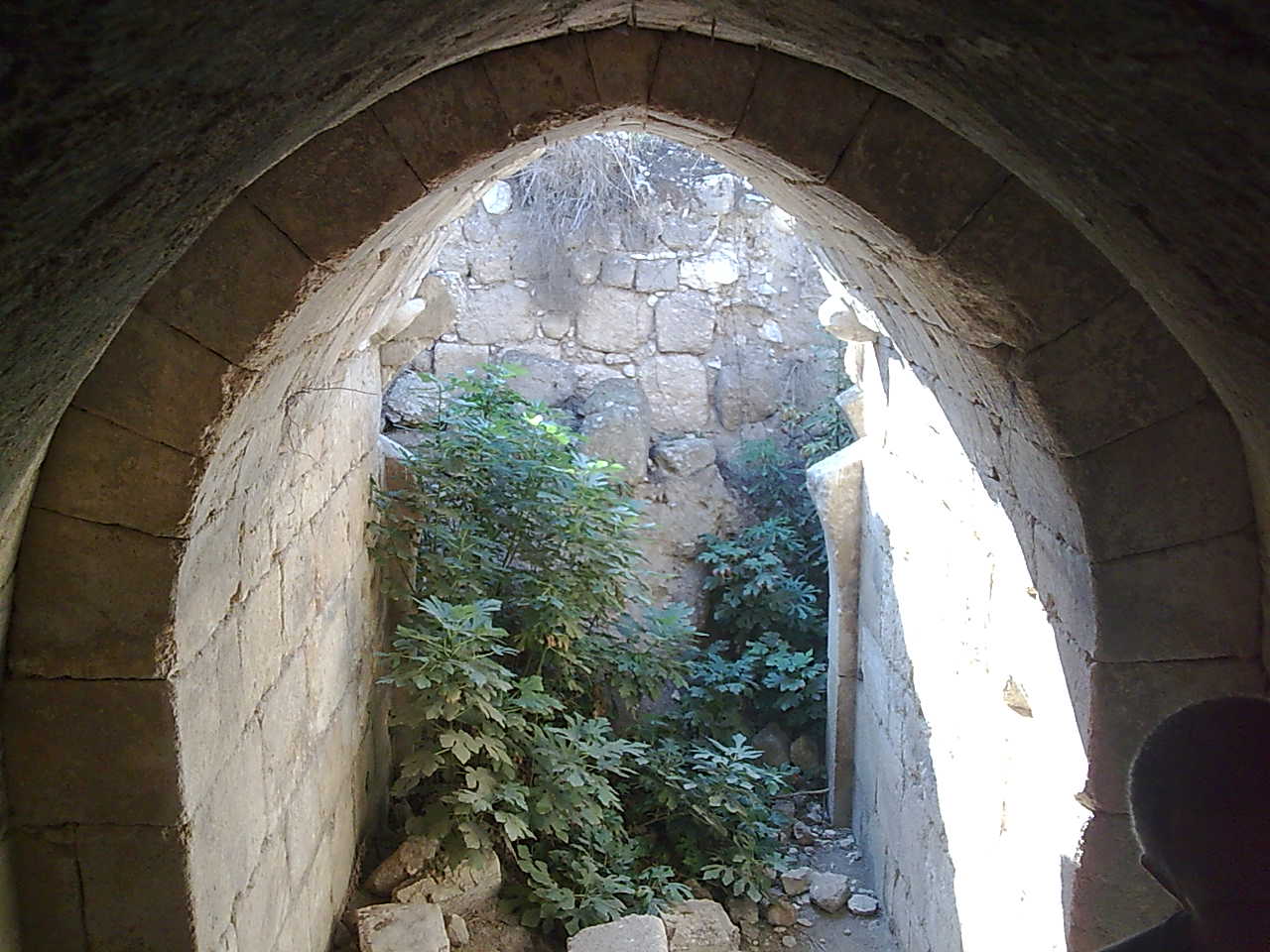
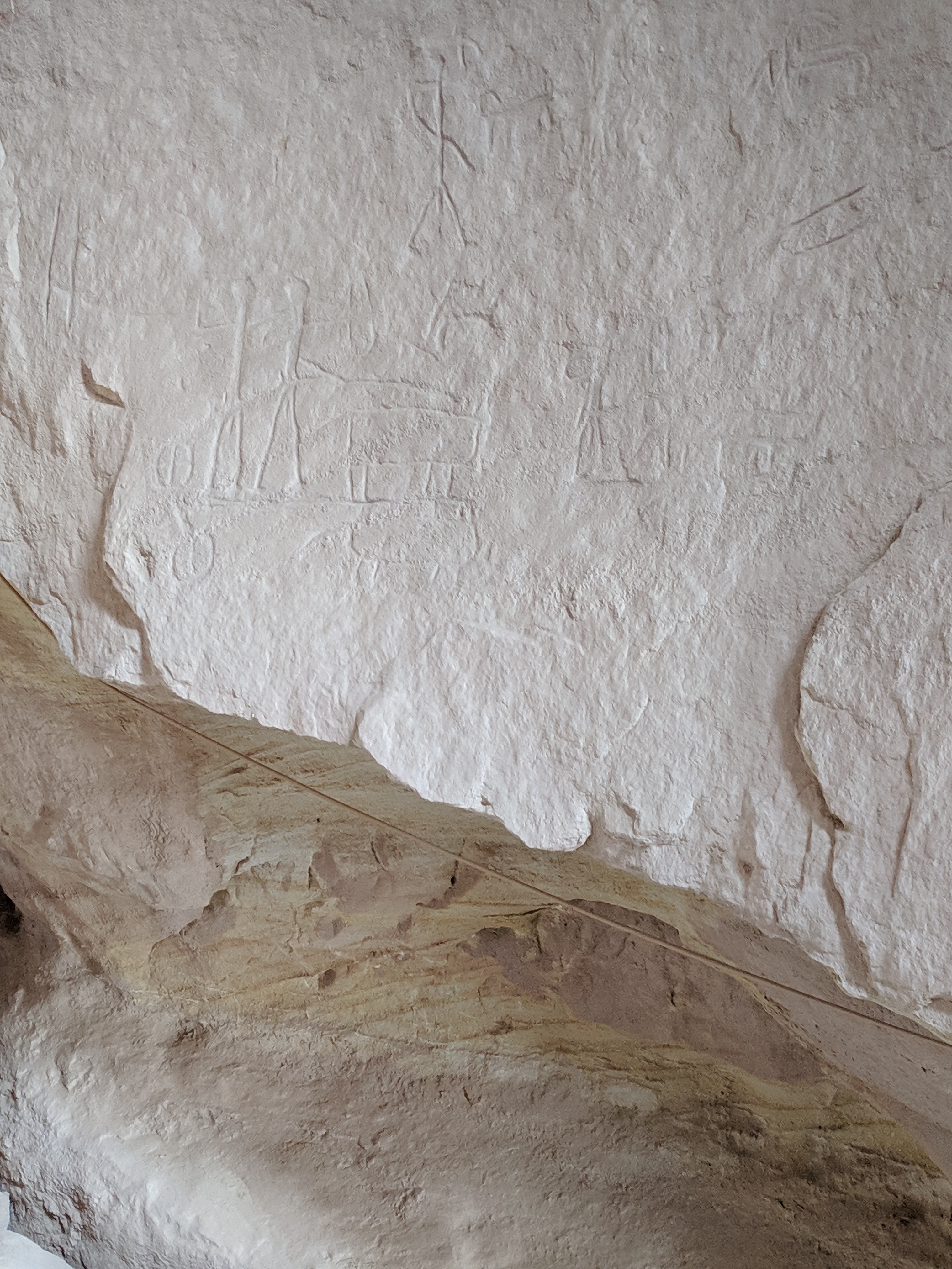
Gallery
Explore photographs of ancient structures, artifacts, and archaeological excavations


Historical Timeline
Journey through time and discover key events in this site's history
Middle Bronze Age settlement
2100 BCE
Late Bronze Age trade importance
1300 BCE
Destruction by Tiglath-pileser III
722 BCE
Early Arab period village
600 CE
Crusader Period occupation
1100 CE
Mamluk garrison
1330 CE
Ottoman period caravanserai
1600 CE
Archaeological Features
Unique architectural and cultural elements found at this historical site
Defensive Structures
Public and Civic Structures
Domestic and Habitation Structures
Transportation and Communication Structures
Frequently Asked Questions
Plan Your Visit
Tours, travel arrangements, and practical information
More Sites in Israel
Tell Qasile
Philistine port city with temples and houses
Tel Kabri
Bronze Age Canaanite palace and settlement
Timna Valley
Copper mining and unique sandstone formations

Tel Tanninim
Ancient tell near Mediterranean with Byzantine remains

Ein Avdat
Desert canyon with springs and ancient habitations.
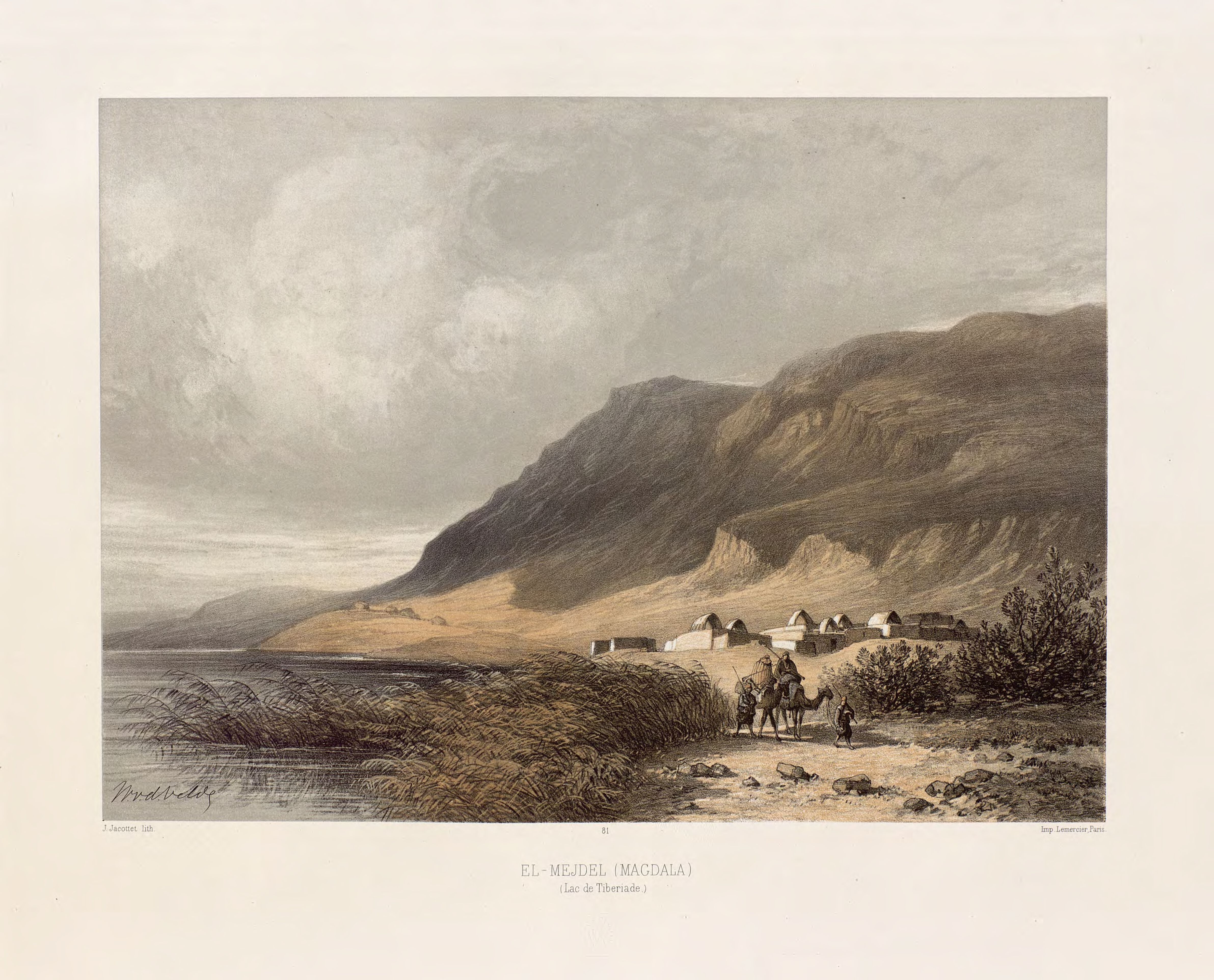
Magdala
Ancient Jewish city with Roman synagogues