Explore the Map
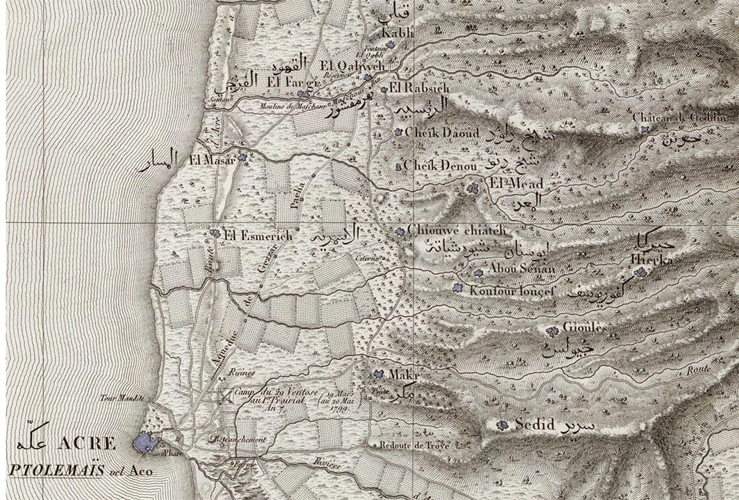
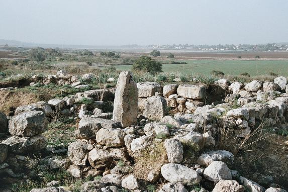
Tel Kabri
33.0084° N, 35.1391° E
About
Tel Kabri is a significant archaeological site located in the Western Upper Galilee of Israel, known for its extensive occupation from the Pottery Neolithic period through to modern times. The site is most notable for its Middle Bronze Age Canaanite palace, which was once a major political center controlling a large portion of the Upper Galilee. The palace is famous for its Minoan-style frescoes and the oldest known palatial wine cellar in the Ancient Near East. This site offers valuable insights into Canaanite urban planning, art, and trade connections with the Aegean world. Despite the decline after the Middle Bronze Age, Kabri continued to be occupied in various forms, including a Phoenician town which was later destroyed by Nebuchadnezzar II. The site's untouched nature since the Bronze Age highlights its archaeological importance.
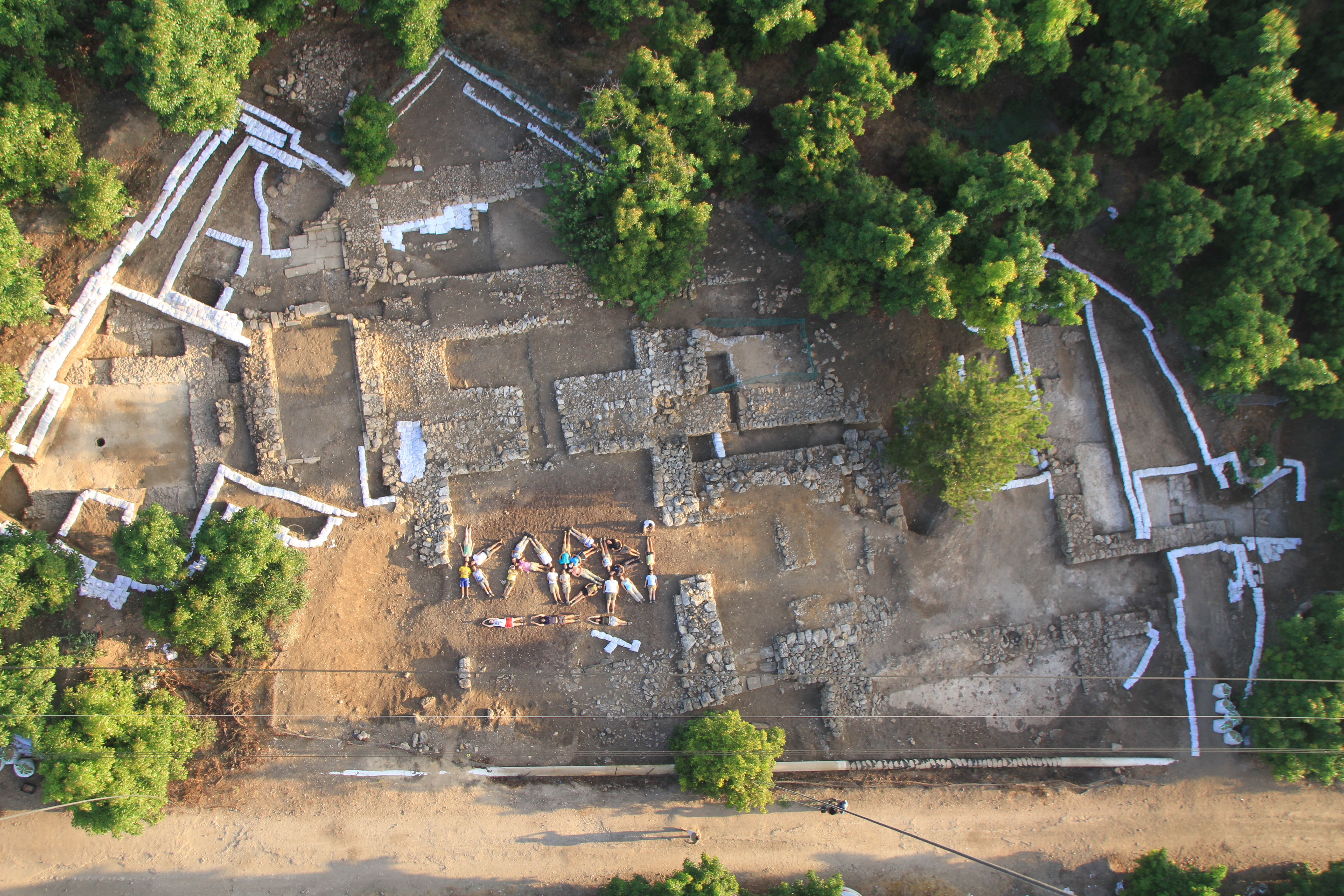
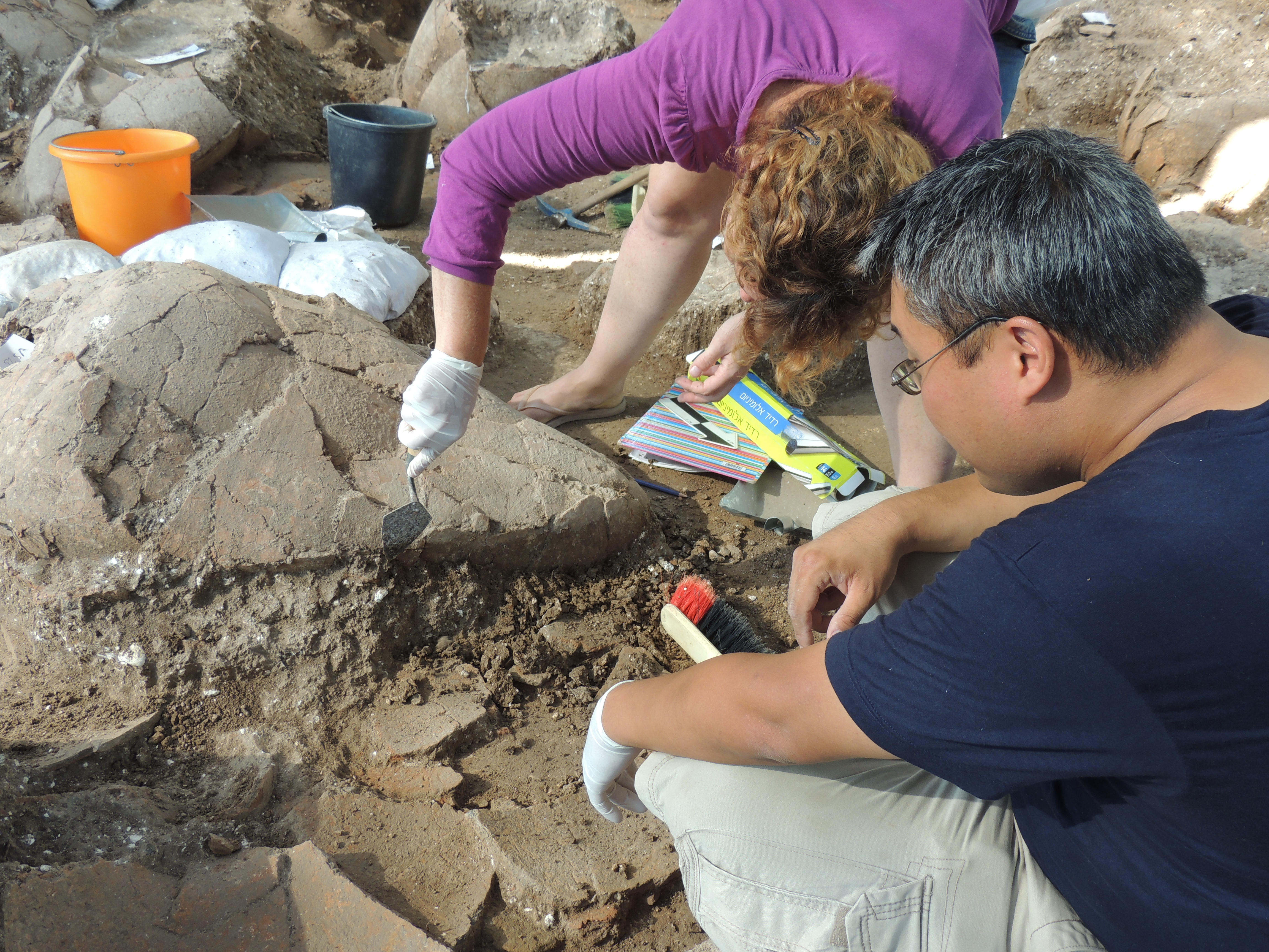
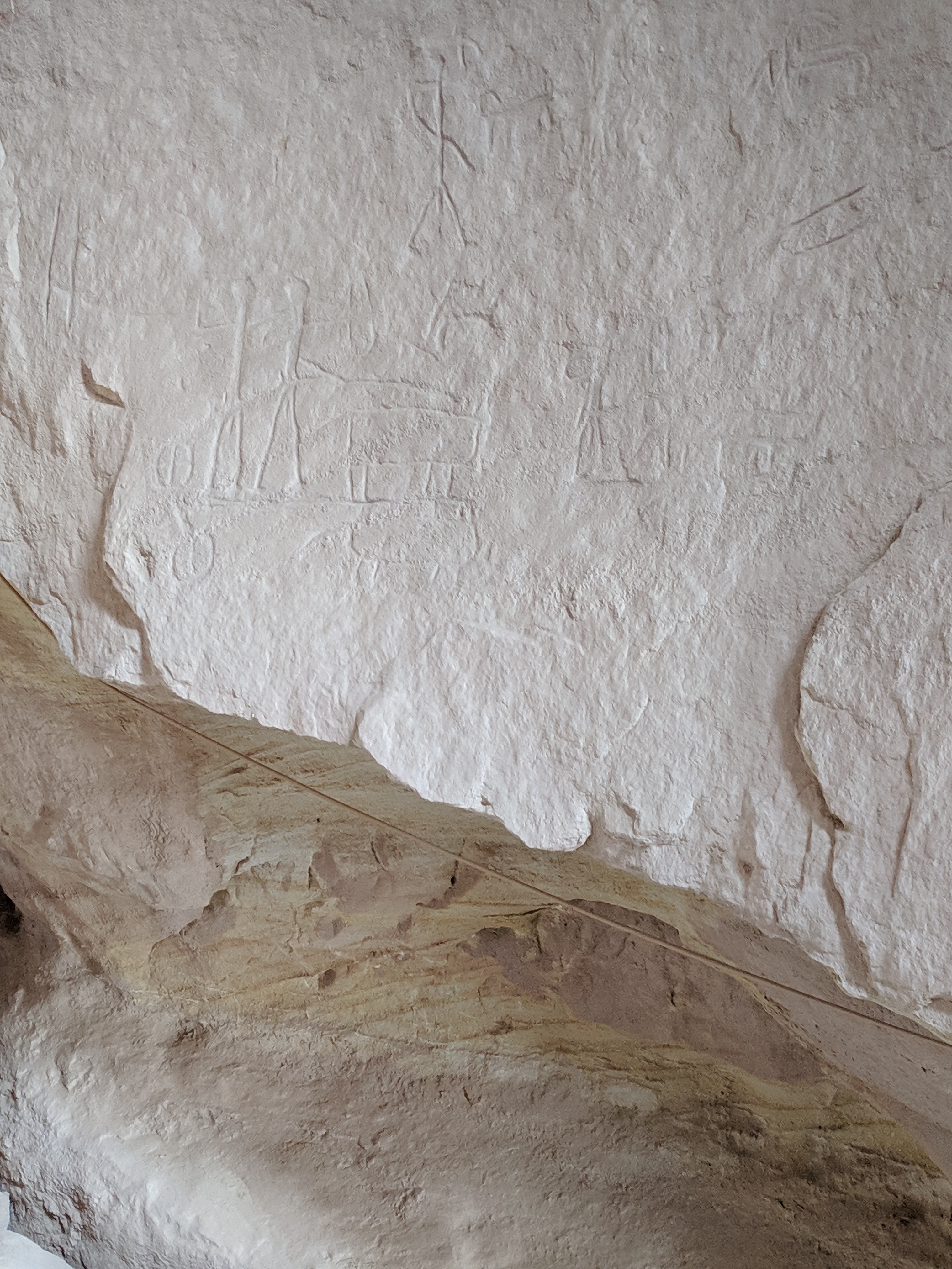
Gallery
Explore photographs of ancient structures, artifacts, and archaeological excavations

Historical Timeline
Journey through time and discover key events in this site's history
Palatial Destruction
c. 1700 BCE
Destruction by Nebuchadnezzar II
c. 585 BCE
Iron Age Reoccupation
1200-600 BCE
Late Bronze Age Village
1550-1200 BCE
Middle Bronze Age Palace
2100-1550 BCE
Early Bronze Age Town
3600-2000 BCE
Chalcolithic Settlement
4500-3500 BCE
Neolithic Settlement
6400-4500 BCE
Archaeological Features
Unique architectural and cultural elements found at this historical site
Storage Structures
Defensive Structures
Water Management Features
Burial and Funerary Structures
Religious and Ritual Structures
Artistic and Decorative Features
Agricultural and Land Use Features
Domestic and Habitation Structures
Frequently Asked Questions
Plan Your Visit
Tours, travel arrangements, and practical information
More Sites in Israel
Timna Valley
Copper mining and unique sandstone formations
Tell Qasile
Philistine port city with temples and houses
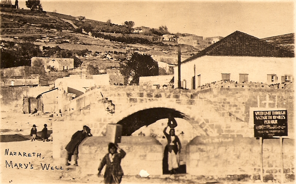
Mary's Well
Ancient water supply with religious significance
Timnah
Philistine city in Sorek Valley, Israel.

Ein Avdat
Desert canyon with springs and ancient habitations.
Tel Tanninim
Ancient tell near Mediterranean with Byzantine remains