
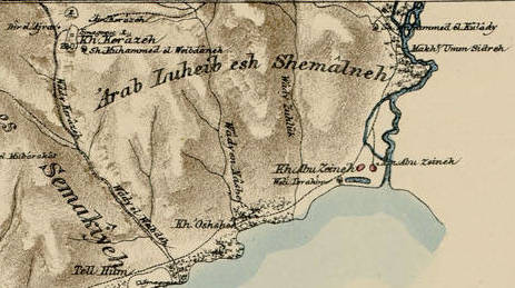
Explore the Map
Chorazin
32.9111° N, 35.5628° E
About
Chorazin (Greek: Χοραζίν ; also Chorazain) or Korazim (Hebrew: כורזים; also Chorizim) was an ancient village in the Roman and Byzantine periods, best known from the Christian Gospels. It stood on the Korazim Plateau in the Upper Galilee on a hill above the northern shore of the Sea of Galilee, 2.5 mi (4.0 km) from Capernaum in what is now the territory of modern Israel. Khirbat Karraza (also Karraza, Kh. Karazeh, Kerazeh) was a village established at the site of the ancient village and depopulated during the 1947–1948 Civil War in Mandatory Palestine on May 4, 1948, by the Palmach's First Battalion during Operation Yiftach. It was located 8.5 km southeast of Safad. The nearby Israeli town of Korazim is named for this location.
Gallery
Explore photographs of ancient structures, artifacts, and archaeological excavations
Historical Timeline
Journey through time and discover key events in this site's history
Depopulation of Khirbat Karraza
May 4, 1948
Synagogue originally built
late 3rd century
Synagogue destroyed
4th century
Synagogue rebuilt
6th century
Jacob Ory excavation and Seat of Moses discovery
1926
Extensive excavations and survey
1962–1964
Excavations resumed
1980–1987
Salvage excavation along ancient road
2004
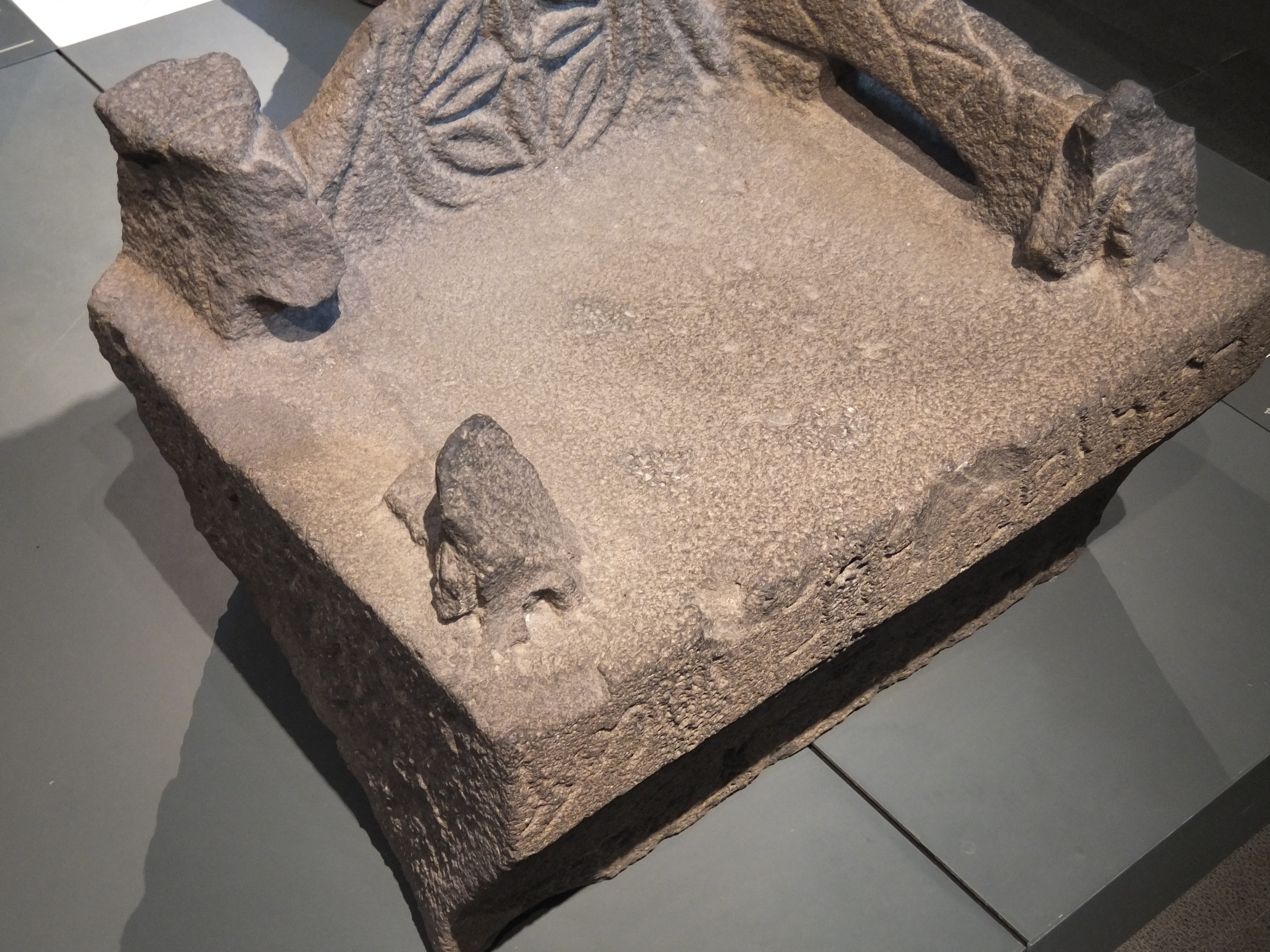
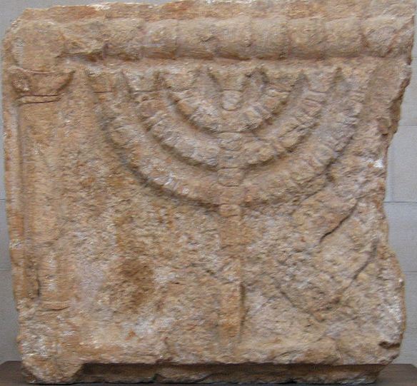
Archaeological Features
Unique architectural and cultural elements found at this historical site
Storage Structures
Burial and Funerary Structures
Religious and Ritual Structures
Artistic and Decorative Features
Domestic and Habitation Structures
Environmental and Natural Features
Food Production and Processing Features
Transportation and Communication Structures
Frequently Asked Questions
Plan Your Visit
Tours, travel arrangements, and practical information
Recommended Tours

More Sites in Israel
Tel Kabri
Bronze Age Canaanite palace and settlement
Tell Qasile
Philistine port city with temples and houses
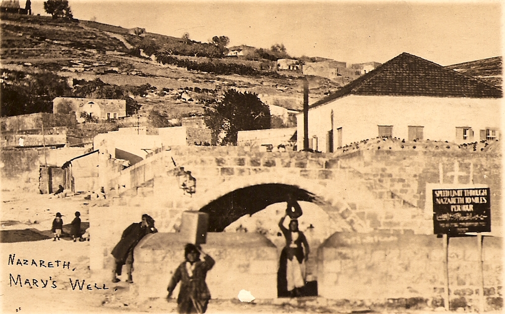
Mary's Well
Ancient water supply with religious significance

Ein Avdat
Desert canyon with springs and ancient habitations.
Tel Tanninim
Ancient tell near Mediterranean with Byzantine remains
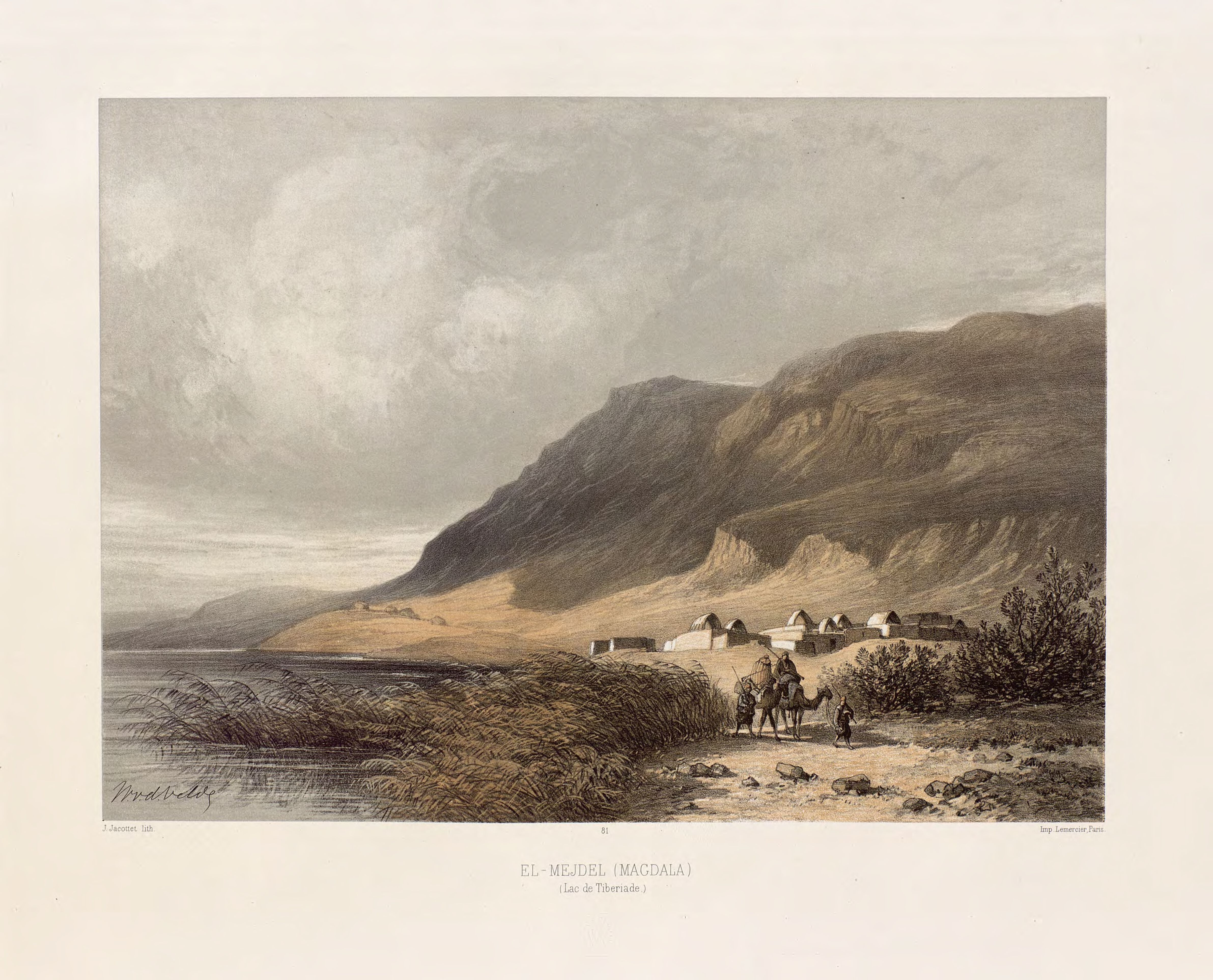
Magdala
Ancient Jewish city with Roman synagogues