Explore the Map
Khirbat Faynan
30.6271° N, 35.4937° E
About
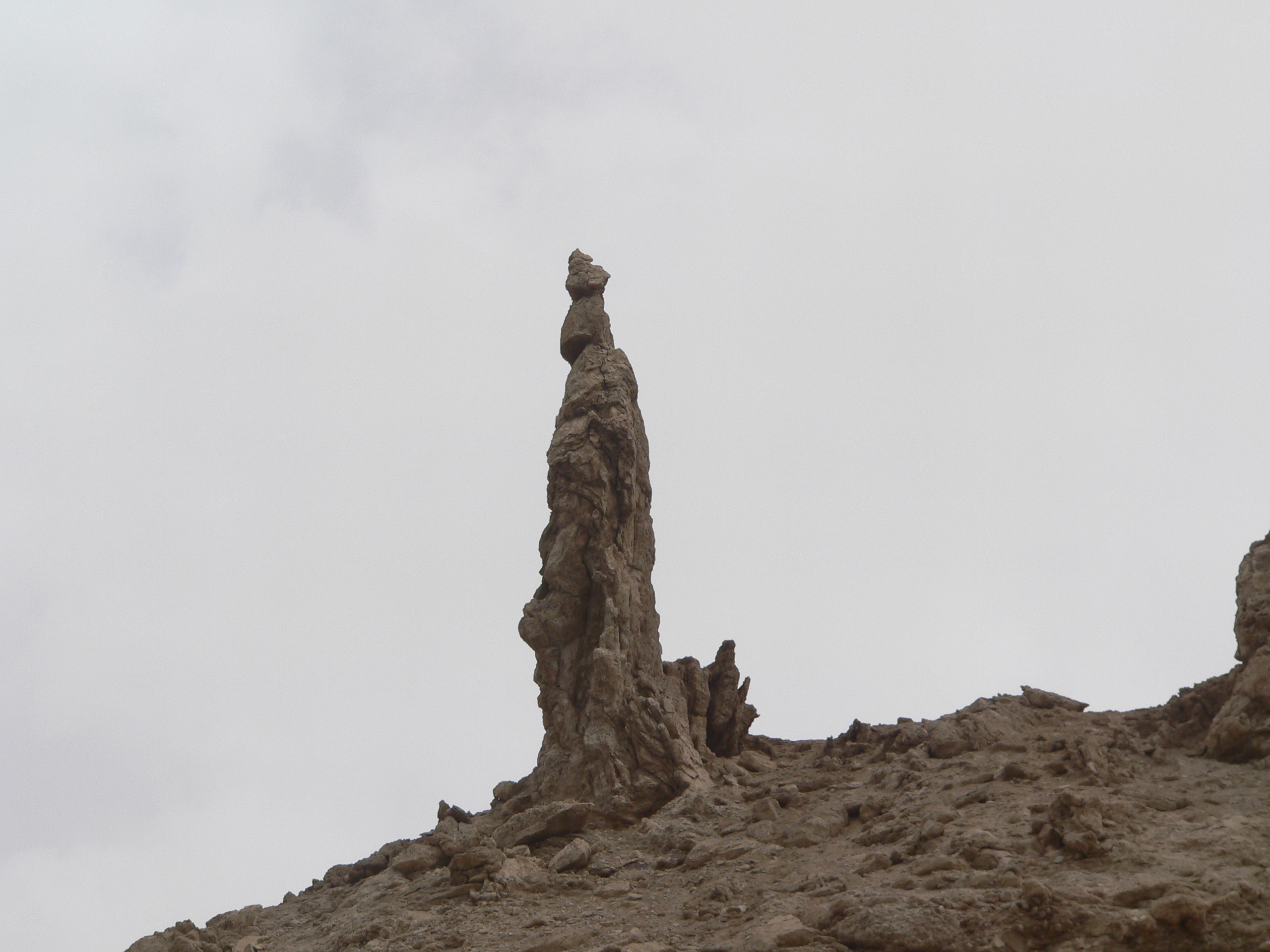
Khirbat Faynan, located in southern Jordan near the Dead Sea, is an archaeological site renowned for its extensive copper mining operations dating back to the Chalcolithic period. The site showcases one of the world's best-preserved ancient mining and metallurgy districts, with evidence of continuous mining activity from around 4500 BCE to the Mamluk period in 1250 CE. The site's strategic location between Wadi Dana and Wadi Ghuwayr facilitated the development of sophisticated water management systems, including aqueducts and reservoirs, to support the settlement and its intensive industrial activities. During the Early Bronze Age, Faynan's inhabitants adapted to the arid environment by creating structured irrigation systems, and mining activities reached a new sophistication under the Nabatean kingdom, further intensifying post-Roman annexation. Khirbat Faynan's archaeological significance lies in its rich historical layers, illustrating technological evolution in mining and metallurgy over millennia.
Historical Timeline
Journey through time and discover key events in this site's history
Chalcolithic Mining Begins
4500 BCE
Early Bronze Age Expansion
3500 BCE
Intensified Mining in Iron Age
1200 BCE
Nabataean Period Development
100 BCE
Early Settlement Evidence
10,900 BCE
Roman Annexation Activity Surge
106 CE
Mamluk Mining Phase
1250 CE
Archaeological Features
Unique architectural and cultural elements found at this historical site
Storage Structures
Defensive Structures
Military Installations
Miscellaneous Features
Animal Husbandry Features
Water Management Features
Public and Civic Structures
Burial and Funerary Structures
Industrial and Craft Structures
Religious and Ritual Structures
Artistic and Decorative Features
Agricultural and Land Use Features
Domestic and Habitation Structures
Environmental and Natural Features
Astronomical and Timekeeping Structures
Food Production and Processing Features
Transportation and Communication Structures
Frequently Asked Questions
Plan Your Visit
Tours, travel arrangements, and practical information

More Sites in Jordan
Tall al-Umayri
Archaeological site with temple and farms
Tall Damiyah
Iron Age mound with unique artifacts
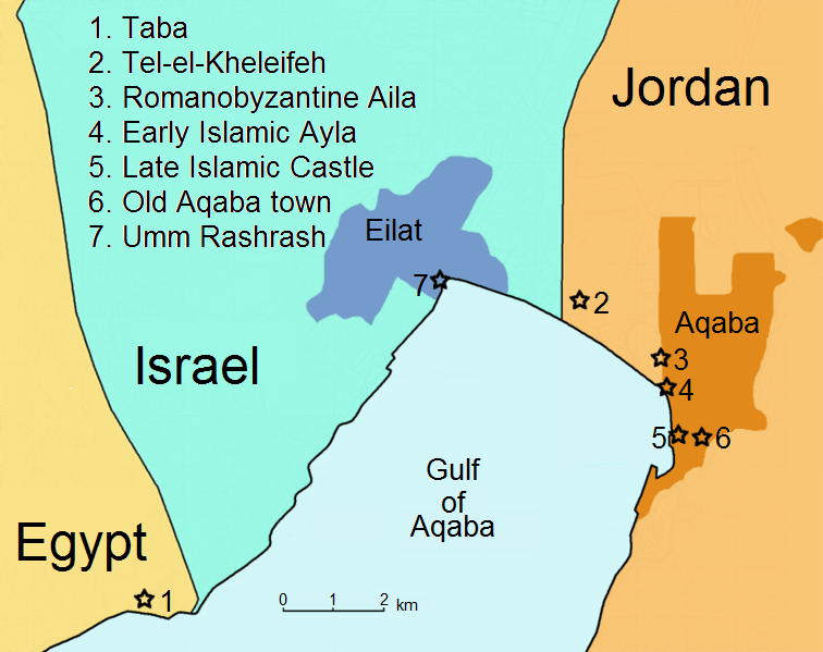
Tell el-Kheleifeh
Ancient fortified settlement with phased occupation.
Monastery of St Lot
Byzantine monastery with Bronze Age cave
Tell el-Maqlub
Bronze and Iron Age fortified town site.
Khirbat Ataruz
Iron Age temple and settlement remains