Explore the Map
Numeira
31.1316° N, 35.5294° E
About
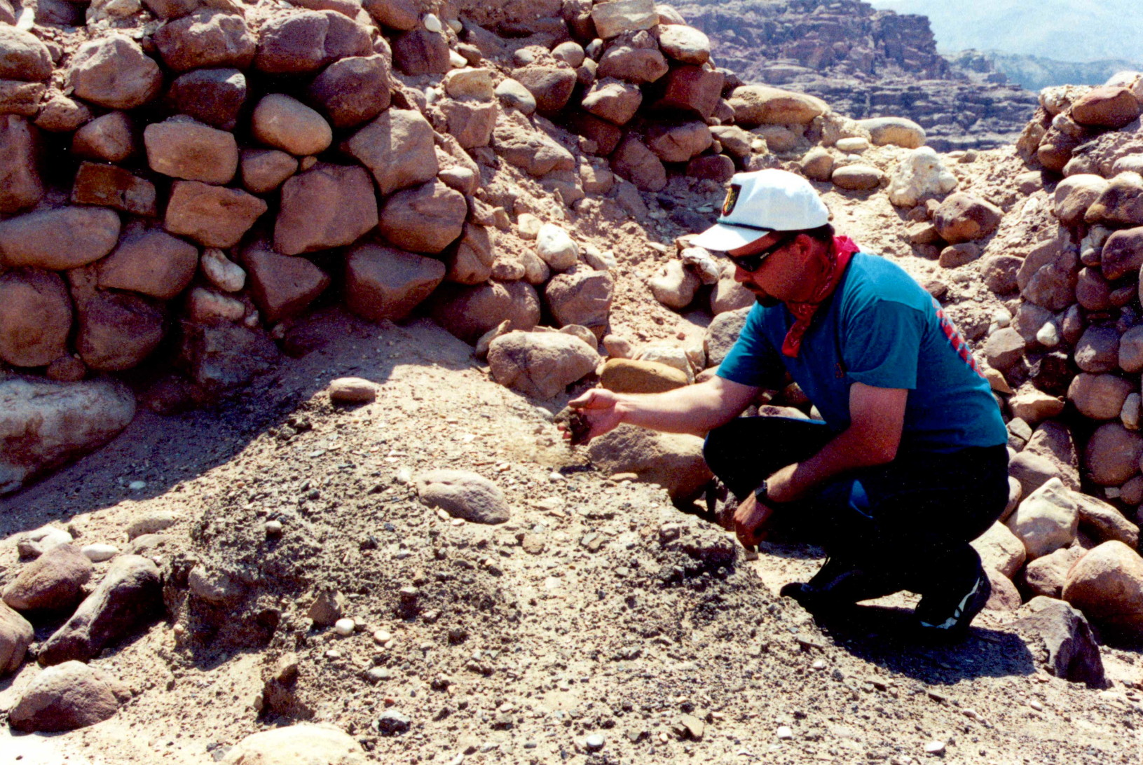
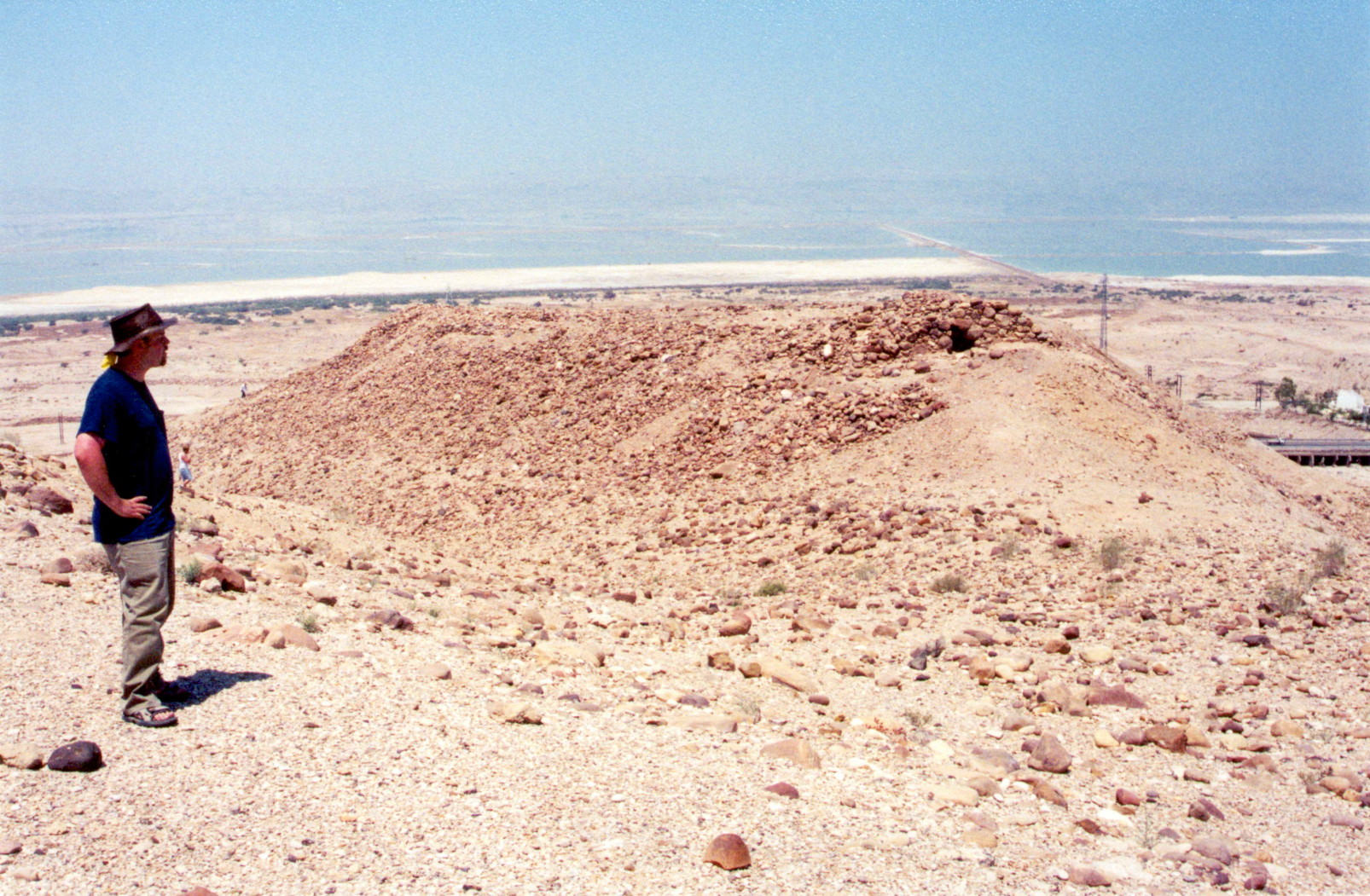
Numeira is an archaeological site located near the southern Dead Sea in Jordan, notable for its Early Bronze Age remains. The settlement, occupied during the Early Bronze Age III, was characterized by significant domestic and defensive structures including a walled town and storage pits, indicating a developed community. The site appears to have functioned as a satellite or trading partner of Bab edh-Dhra, approximately 13 km to the south, evidenced by the lack of local burial sites and ceramic links. Numeira's destruction around 2300 BCE marks a significant event in its history, with evidence of burning and architectural collapse. Despite only partial excavation, Numeira provides valuable insights into the region's early urbanization and inter-settlement relationships.
Gallery
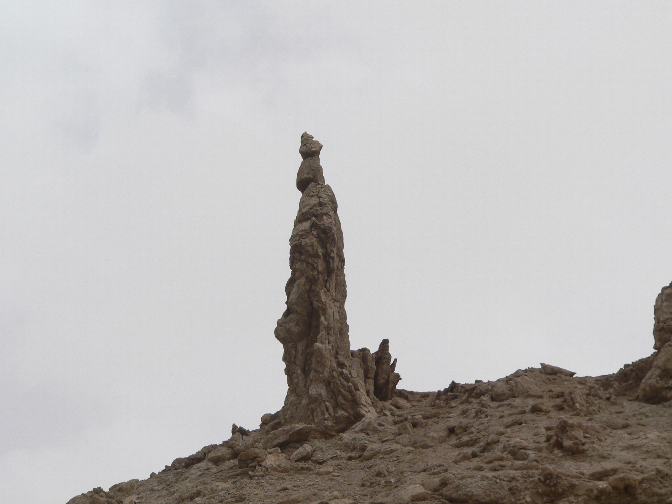
Explore photographs of ancient structures, artifacts, and archaeological excavations

Historical Timeline
Journey through time and discover key events in this site's history
Phase 1a
2600 BCE
Phase 1b
2500 BCE
Phase 2
2400 BCE
Destruction of Numeira
2300 BCE
Archaeological Features
Unique architectural and cultural elements found at this historical site
Storage Structures
Defensive Structures
Domestic and Habitation Structures
Food Production and Processing Features
Frequently Asked Questions
Plan Your Visit
Tours, travel arrangements, and practical information
More Sites in Jordan
Tall al-Umayri
Archaeological site with temple and farms
Monastery of St Lot
Byzantine monastery with Bronze Age cave
Tall Damiyah
Iron Age mound with unique artifacts
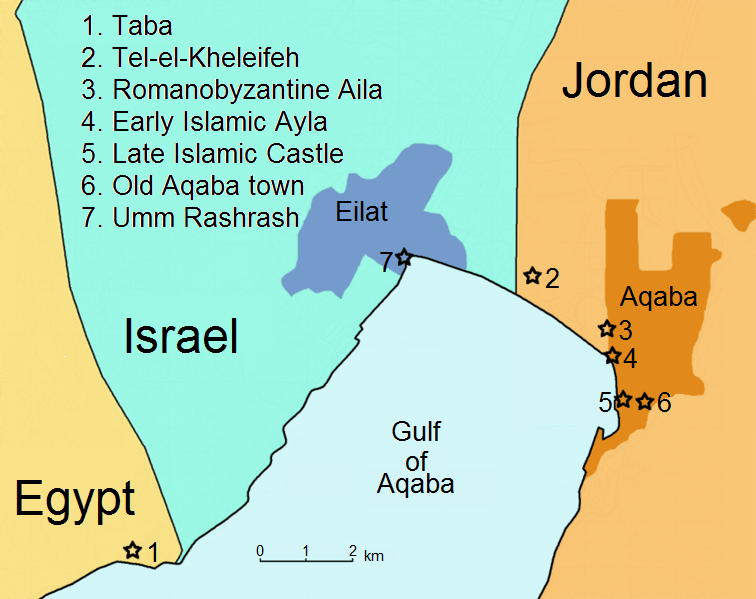
Tell el-Kheleifeh
Ancient fortified settlement with phased occupation.
Tell el-Maqlub
Bronze and Iron Age fortified town site.
Khirbat Ataruz
Iron Age temple and settlement remains