Explore the Map
Huánuco Pampa
-9.8742° N, -76.8158° E
About
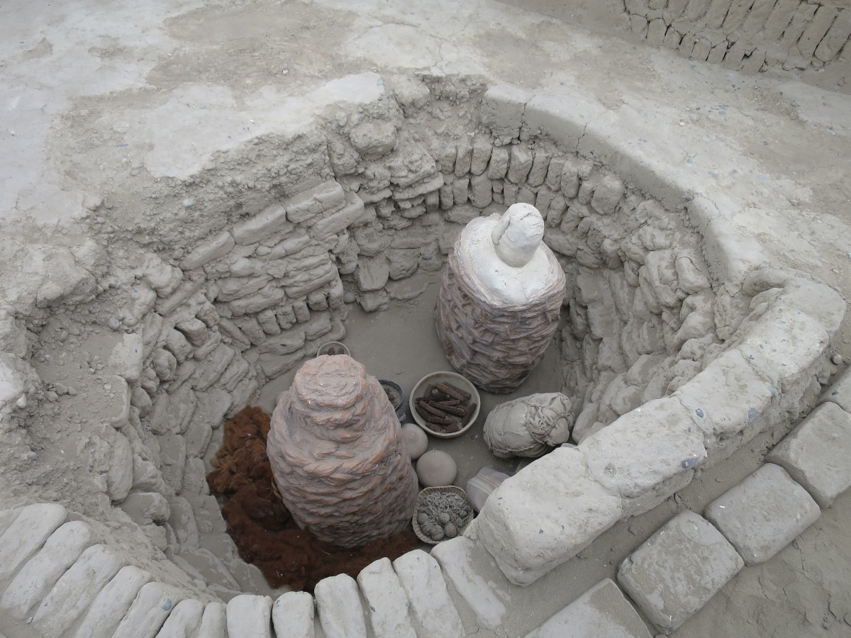
Huánuco Pampa, Huánuco Marka (also spelled Huánuco Marca) or Huánuco Viejo, Wanako Pampa, Wanuku Pampa or simply Huánuco is a large archaeological site in Peru in the Huánuco Region, Dos de Mayo Province, La Unión District. The ruins of the city lie on a plateau above the Urqumayu or Vizcarra River in the central Andes. The Incas administered their large empire through a small number of administrative centers, such as Huánuco Pampa. The administrative centers were linked by the extensive Inca road system. The most important of the roads, the Qhapaq Ñan, which ran from Cusco to Quito, passed through Huánuco Pampa. The Inca authorities in Huánuco ruled at least five, and perhaps more, ethnic groups. The city is situated on an important commercial trade route and sits on top of a plateau with ravines on all sides in order to allow easy defense of the city. During the Spanish conquest of the Incas, Huánuco Pampa was briefly occupied by Gomez de Alvarado, who founded a Spanish city but it was quickly moved to Pillco because of the harsh climate of Huánuco and the raids of Illa Tupac, one of the captains of Manco Inca.
Historical Timeline
Journey through time and discover key events in this site's history
Spanish foundation 1539
1539
Archaeological Features
Unique architectural and cultural elements found at this historical site
Storage Structures
Military Installations
Public and Civic Structures
Industrial and Craft Structures
Religious and Ritual Structures
Artistic and Decorative Features
Agricultural and Land Use Features
Domestic and Habitation Structures
Transportation and Communication Structures
Frequently Asked Questions
Plan Your Visit
Tours, travel arrangements, and practical information
More Sites in Peru
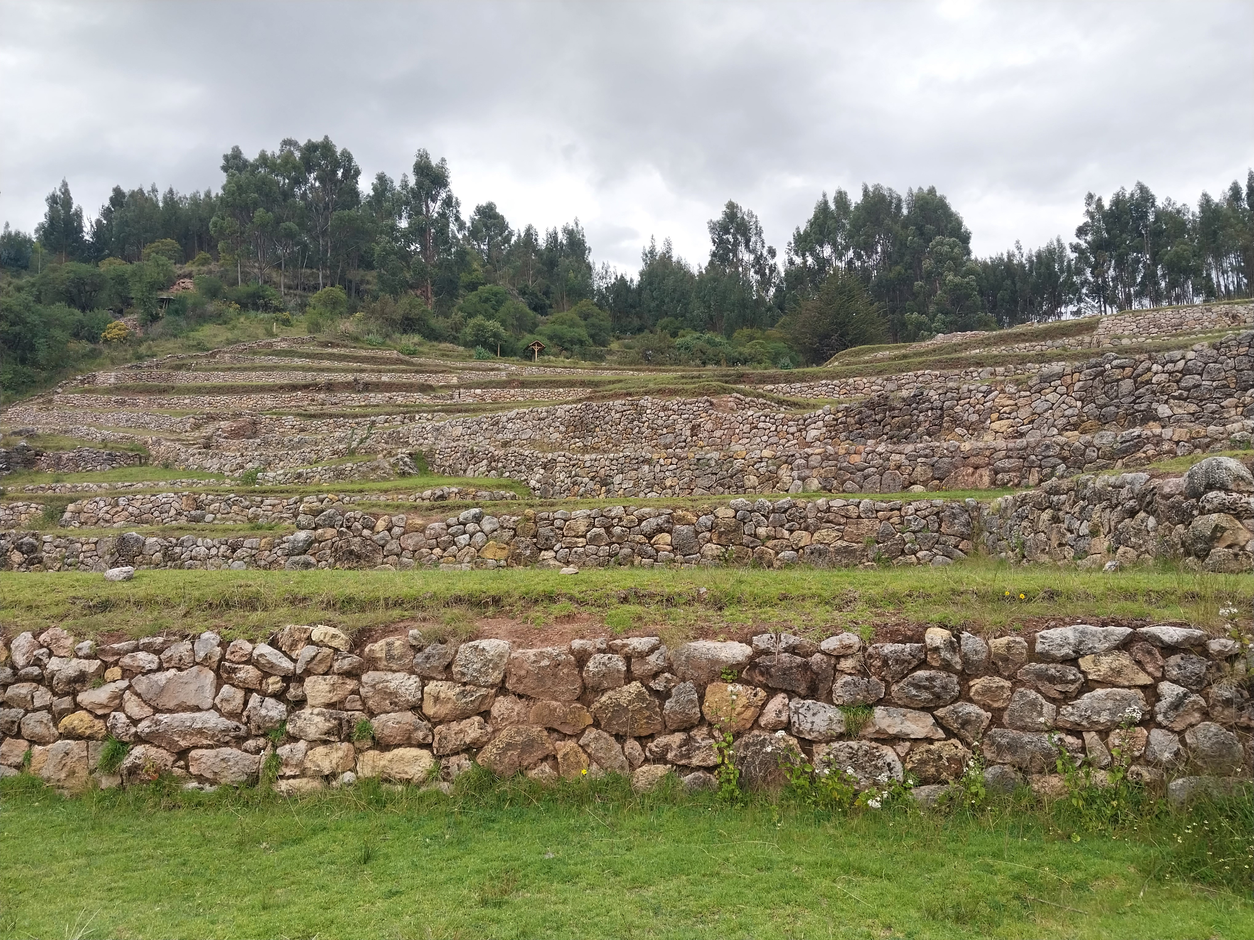
Inkilltambo
Ancient Peruvian site with cultivated terrain.
La Centinela
Adobe pyramids in Chincha Valley, Peru.

Markapukyu
Peruvian high-altitude archaeological site.
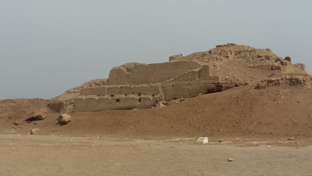
Huaca del Sol
Largest pre-Columbian adobe pyramid in Peru
Tinyaq
Inca period storehouses on a mountain
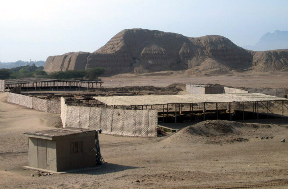
Huaca Pucllana
Adobe pyramid with ceremonial and administrative areas