
Explore the Map
Llaqtapata
-13.1859° N, -72.5847° E
About
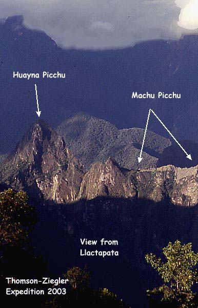
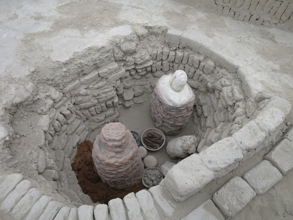
Llaqtapata is an archaeological site located approximately 5 kilometers east of Machu Picchu in the Cusco Region of Peru. Situated on a ridge between the Ahobamba and Santa Teresa valleys, the site is believed to have been a significant Inca roadside shrine and rest stop along the trail to Machu Picchu. The architectural evidence suggests the presence of domestic structures, ceremonial platforms, and pathways, indicating its role in the network of administrative and ceremonial sites associated with Machu Picchu. Llaqtapata likely served as an important astronomical observatory, particularly during solstice and equinox events. Originally discovered by Hiram Bingham in 1912, the site was further explored in 2003 by Hugh Thomson and Gary Ziegler, who helped to map and analyze its historical significance within the Inca civilization.
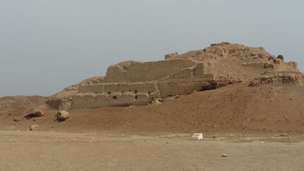
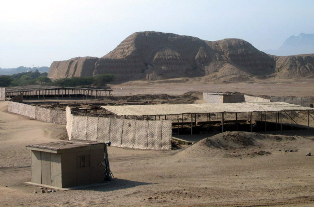
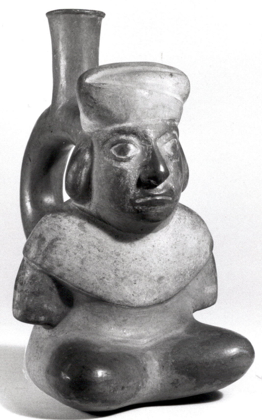
Gallery
Explore photographs of ancient structures, artifacts, and archaeological excavations
Historical Timeline
Journey through time and discover key events in this site's history
Inca construction phase
1400s CE
Archaeological Features
Unique architectural and cultural elements found at this historical site
Religious and Ritual Structures
Domestic and Habitation Structures
Astronomical and Timekeeping Structures
Transportation and Communication Structures
Frequently Asked Questions
Plan Your Visit
Tours, travel arrangements, and practical information
More Sites in Peru
La Centinela
Adobe pyramids in Chincha Valley, Peru.
Huaca del Sol
Largest pre-Columbian adobe pyramid in Peru

Taqrachullu
Rocky confluence site with cultural heritage.
Tinyaq
Inca period storehouses on a mountain

Tikra
Circular buildings and burial towers in Peru
Huaca Pucllana
Adobe pyramid with ceremonial and administrative areas