Explore the Map
Sićevo Gorge
43.3167° N, 22.1167° E
About
The Sićevo Gorge (Serbian: Sićevačka klisura; Serbian Cyrillic: Сићевачка клисура, pronounced [sîtɕɛʋatʃkaː klǐsura]), a river gorge and archaeological site in southeastern Serbia, is the locally most prominent geological and topographic feature formed by the Nišava River. The gorge is located between the towns of Bela Palanka and Niška Banja. It is 17 km (11 mi) long and 350 to 400 m (1,150 to 1,310 ft) deep, in some parts developing canyon-like structures (including the inverse valley slopes at the Gradiški kanjon). The gorge is cut into the Kunovica plateau, between the southern slopes of the Svrljig Mountains and the mountain of Suva Planina. The surrounding areas are known for their high-quality vineyards. The gorge contains a stone quarry, the Ostrovica and six villages. The largest, Sićevo is the eponym of the gorge.
Historical Timeline
Journey through time and discover key events in this site's history
Fossil dating
397,000–525,000 years ago
Jaw excavation
June 2008
Archaeological Features
Unique architectural and cultural elements found at this historical site
Industrial and Craft Structures
Agricultural and Land Use Features
Domestic and Habitation Structures
Environmental and Natural Features
Frequently Asked Questions
Plan Your Visit
Tours, travel arrangements, and practical information
More Sites in Serbia
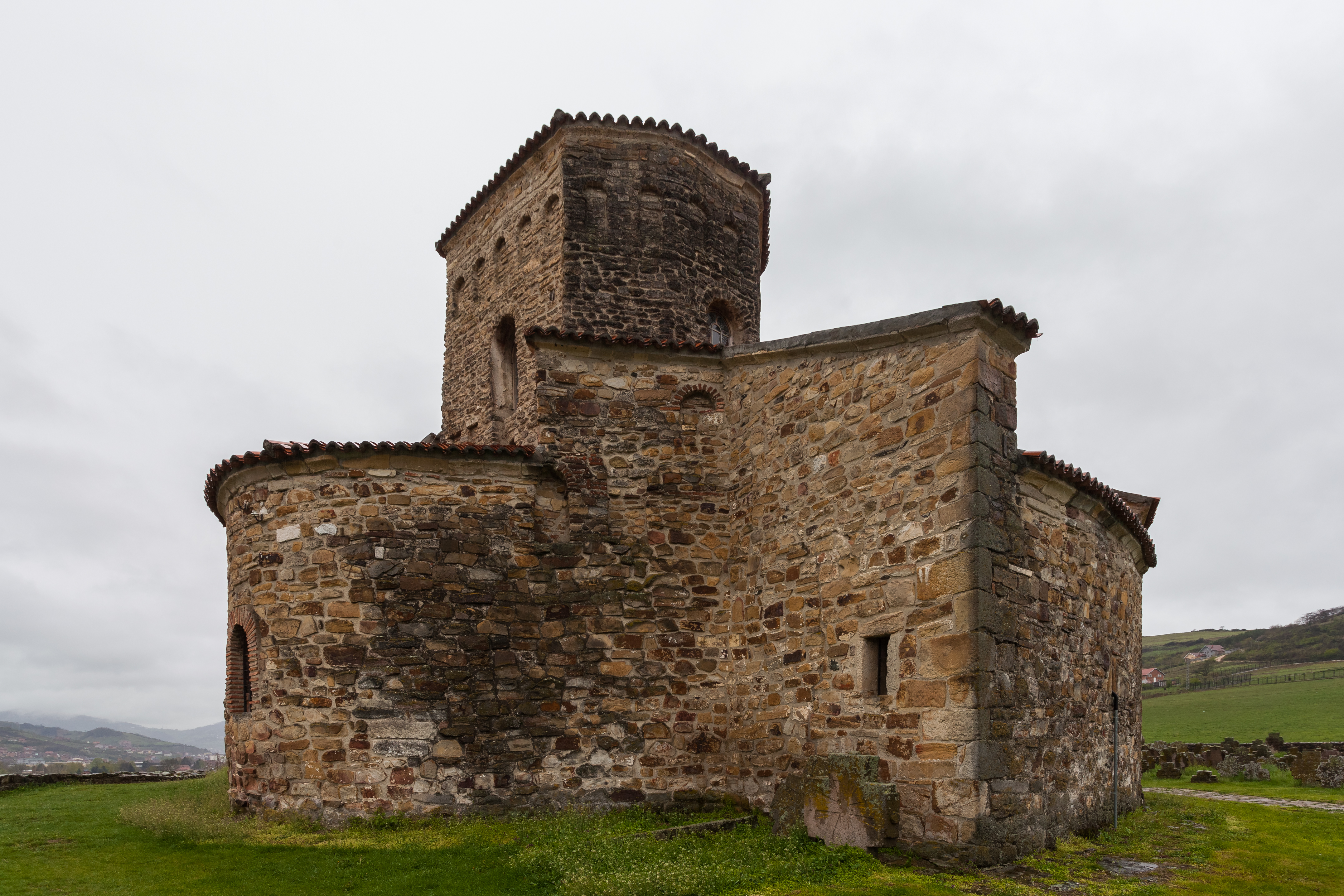
Church of the Holy Apostles Peter and Paul, Ras
Oldest intact church in Serbia, Ras site
Kinđa
Copper Age burial mound near Kikinda, Serbia
Trojanov Grad
Fortress remains on Cer Mountain, Serbia.
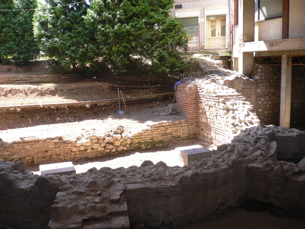
Remesiana
Ancient Roman city with ecclesiastical significance.
Belgrade Fortress
Historical fortress overlooking Sava and Danube
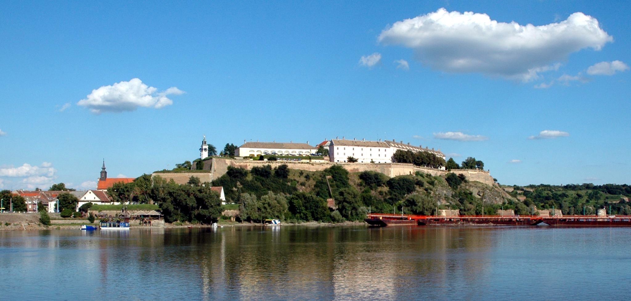
Petrovaradin Fortress
Fortress with extensive underground corridors