Explore the Map
Las Médulas
42.4694° N, -6.7707° E
About
Las Médulas (Spanish pronunciation: [las ˈmeðulas]) is a historic gold-mining site near the town of Ponferrada in the comarca of El Bierzo (province of León, Castile and León, Spain). It was the most important gold mine, as well as the largest open-pit gold mine in the entire Roman Empire. Las Médulas Cultural Landscape is listed by UNESCO as a World Heritage Site. Advanced aerial surveys conducted in 2014 using LIDAR have confirmed the wide extent of the Roman-era works. The spectacular landscape of Las Médulas resulted from the ruina montium (wrecking of the mountains), a Roman mining technique described by Pliny the Elder in 77 AD. The technique employed was a type of hydraulic mining which involved undermining a mountain with large quantities of water. The water was supplied by interbasin transfer. At least seven long aqueducts tapped the streams of the La Cabrera district (where the rainfall in the mountains is relatively high) at a range of altitudes. The same aqueducts were used to wash the extensive alluvial gold deposits. What became the Roman province of Hispania Tarraconensis was conquered in 25 BC by the emperor Augustus. Before the Roman conquest, the indigenous inhabitants obtained gold from alluvial deposits. Large-scale production did not begin until the second half of the 1st century AD.
Historical Timeline
Journey through time and discover key events in this site's history
Start of large-scale production
second half of the 1st century AD
Roman conquest of the region
25 BC
Pliny as procurator
74 AD
Pliny's description of ruina montium
77 AD
UNESCO World Heritage inscription
1997
LIDAR survey confirmation
2014
Archaeological Features
Unique architectural and cultural elements found at this historical site
Miscellaneous Features
Water Management Features
Industrial and Craft Structures
Artistic and Decorative Features
Environmental and Natural Features
Frequently Asked Questions
Plan Your Visit
Tours, travel arrangements, and practical information
More Sites in Spain
La Olmeda
Late Antique Roman villa, Palencia, Spain
Castulo
Iberian town and Roman-era settlement in Andalusia, Spain
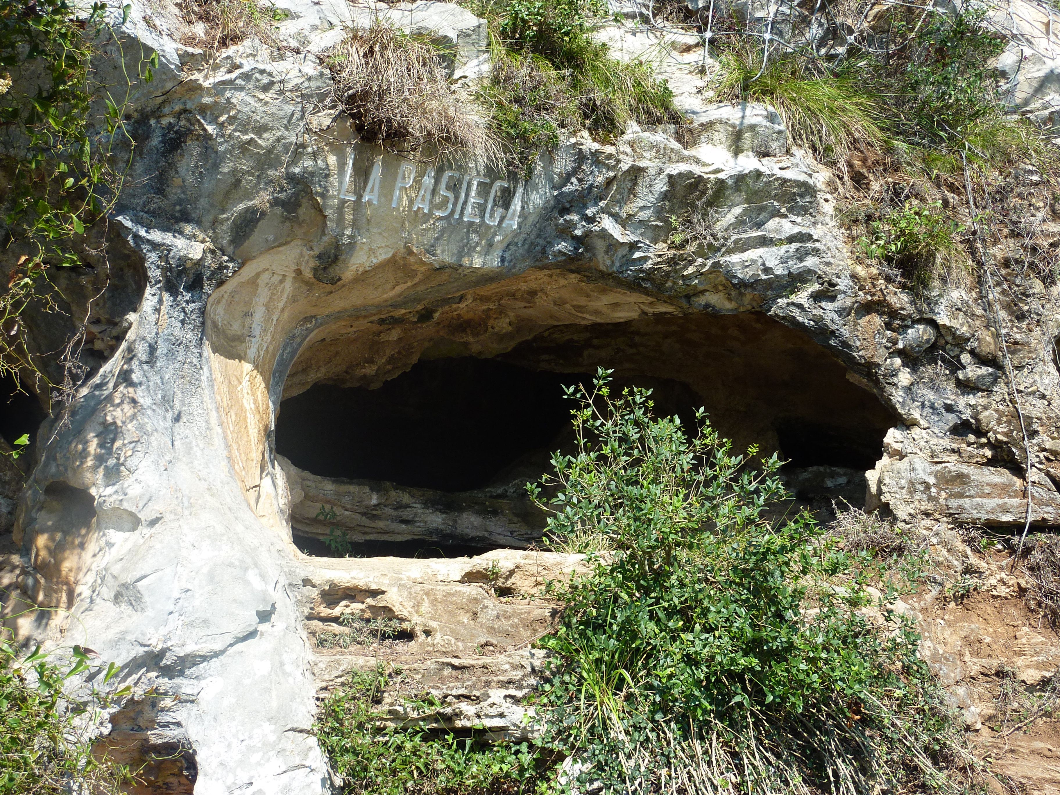
Cave of La Pasiega
Complex cave with Paleolithic rock art.
Calatrava la Vieja
Medieval fortress and town in Castile‑La Mancha, Spain
Castro de Borneiro
Iron Age castro in Galicia, Spain
Tito Bustillo Cave
The Tito Bustillo Cave is a prehistoric rock shelter located in the small town of Ribadesella, in the autonomous community of Asturias, Spain.