Explore the Map
Brittenburg
52.2120° N, 4.3930° E
About
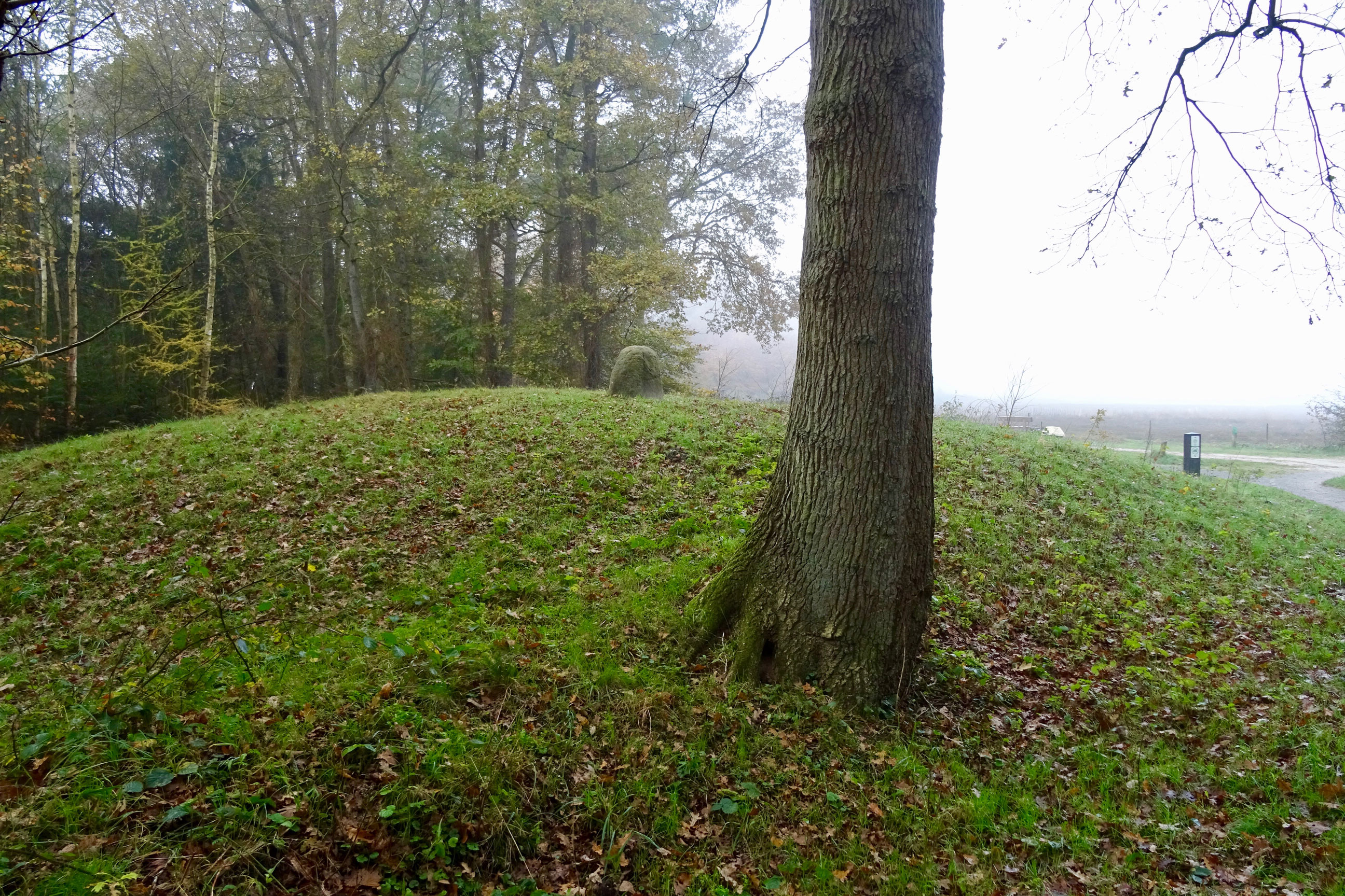
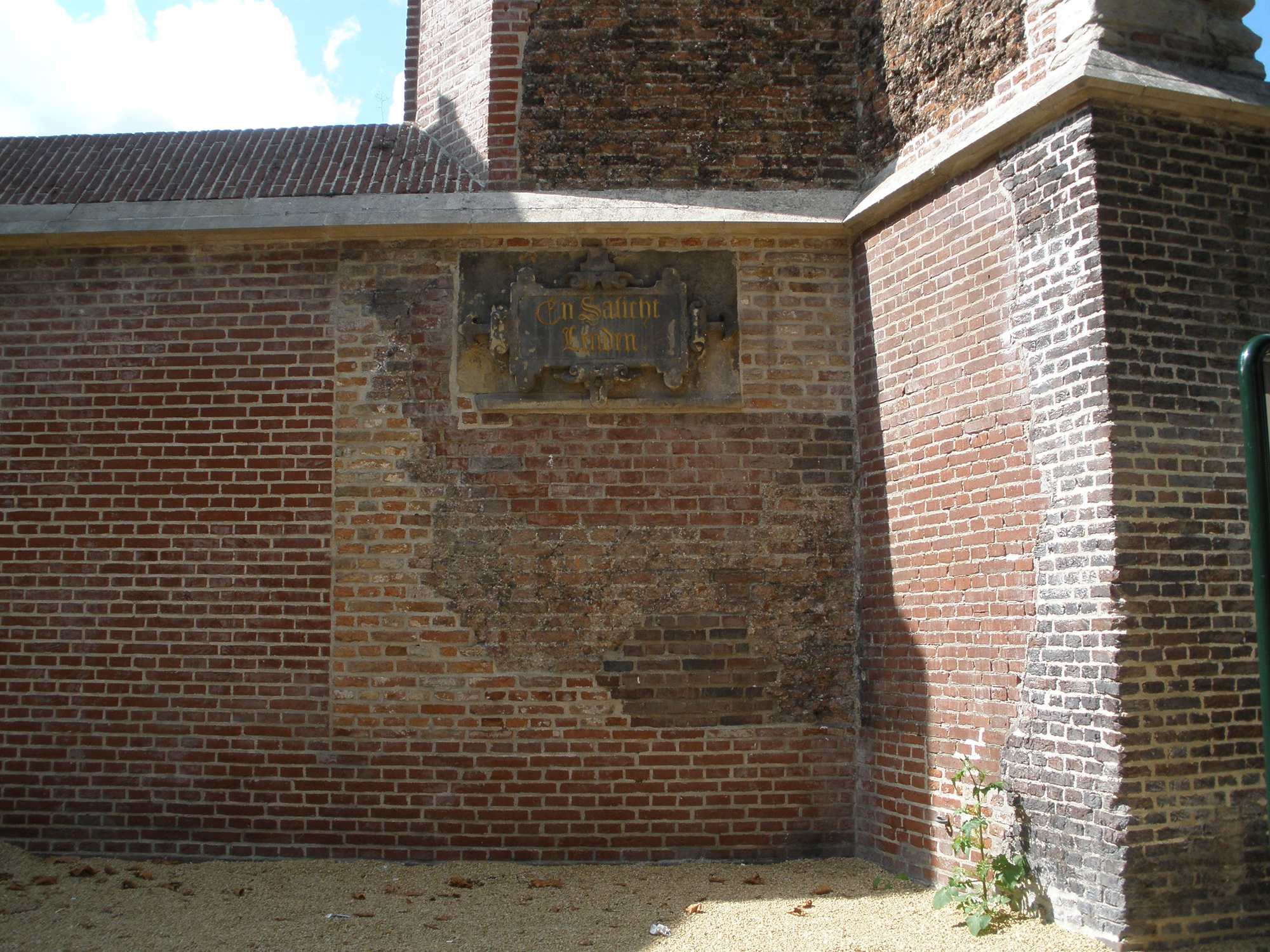
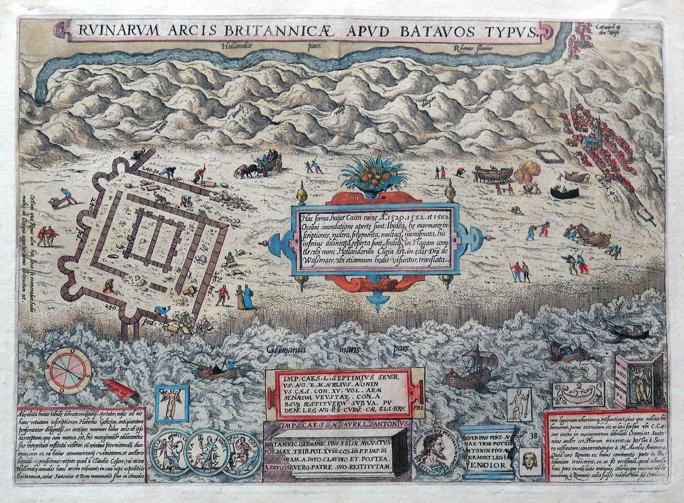
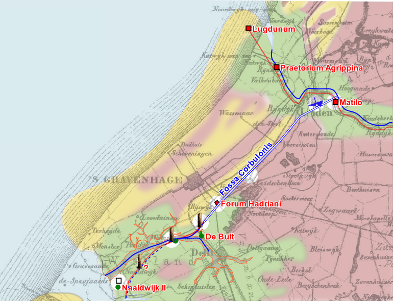
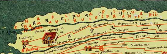
Brittenburg was a significant Roman ruin site west of Leiden, identified as the Lugdunum fortress. This site, located at the mouth of the Oude Rijn, played a crucial role in the Roman border defense system, known as the limes, marking the northern frontier of the Roman province Germania Inferior. It featured a fortress, with structures likely serving as a lighthouse and possibly a granary. Archaeological evidence indicates the presence of roads and signal towers, highlighting its strategic importance in transportation and communication. The site, now eroded and submerged in the North Sea, was pivotal during the Late Classical Period, with artifacts dated up to 270 CE. Despite its loss to the sea, Brittenburg remains a site of historical intrigue and significance.
Gallery
Explore photographs of ancient structures, artifacts, and archaeological excavations

Historical Timeline
Journey through time and discover key events in this site's history
Construction as Roman fort
1st century CE
Archaeological Features
Unique architectural and cultural elements found at this historical site
Storage Structures
Defensive Structures
Transportation and Communication Structures
Plan Your Visit
Tours, travel arrangements, and practical information