Explore the Map
Knidos
36.6858° N, 27.3750° E
About
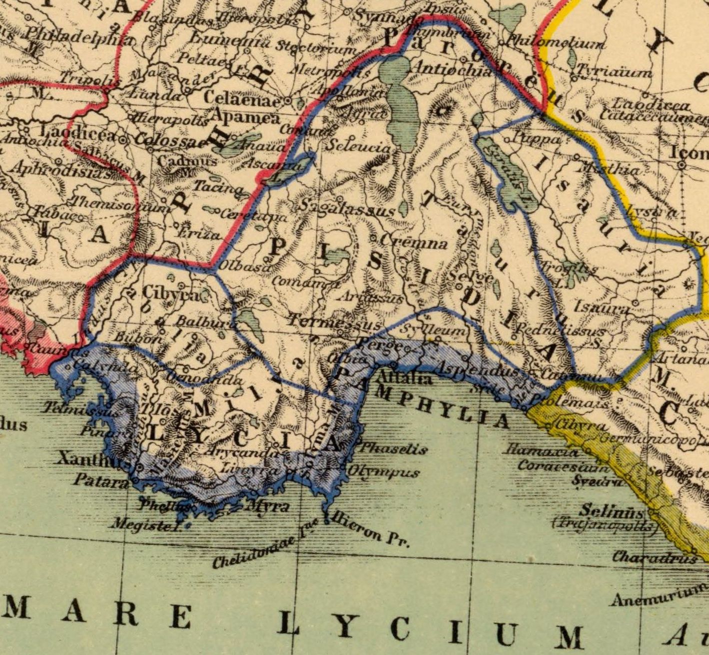
Knidos or Cnidus (; Greek: Κνίδος, Ancient: [knídos], Modern: [ˈkniðos], Knídos) was a Greek city in ancient Caria and part of the Dorian Hexapolis, in south-western Asia Minor, modern-day Turkey. It was situated on the Datça peninsula, which forms the southern side of the Sinus Ceramicus, now known as Gulf of Gökova. By the 4th century BC, Knidos was located at the site of modern Tekir, opposite Triopion Island. But earlier, it was probably at the site of modern Datça (at the half-way point of the peninsula). It was built partly on the mainland and partly on the Island of Triopion or Cape Krio. The debate about it being an island or cape is caused by the fact that in ancient times it was connected to the mainland by a causeway and bridge. Today the connection is formed by a narrow sandy isthmus. By means of the causeway the channel between island and mainland was formed into two harbours, of which the larger, or southern, was further enclosed by two strongly built moles that are still in good part entire. The extreme length of the city was little less than a mile, and the whole intramural area is still thickly strewn with architectural remains. The walls, both of the island and on the mainland, can be traced throughout their whole circuit; and in many places, especially round the acropolis, at the northeast corner of the city, they are remarkably perfect.
Historical Timeline
Journey through time and discover key events in this site's history
4th century BCE relocation
4th century BCE
Battle of Cnidus
394 BCE
Council of Chalcedon participation
451 CE
Second Council of Constantinople
553 CE
Second Council of Nicaea
787 CE
Dilettante Society mission
1812
Newton excavations
1857–1858
Port ruins revealed by low tide
2022
Archaeological Features
Unique architectural and cultural elements found at this historical site
Defensive Structures
Public and Civic Structures
Burial and Funerary Structures
Religious and Ritual Structures
Artistic and Decorative Features
Domestic and Habitation Structures
Environmental and Natural Features
Transportation and Communication Structures
Frequently Asked Questions
Plan Your Visit
Tours, travel arrangements, and practical information
More Sites in Turkey
Blaundus
Hellenistic city ruins in western Anatolia, Turkey
Larissa Phrikonis
Aeolian city ruins in western Turkey
Euromus
Ancient Carian city and temple, 6th century BCE
Lysinia
Ancient town in Pisidia, later Pamphylia.
Çadır Höyük
Artificial mound settlement in Yozgat Province, Turkey
Library of Celsus
Roman library, early 2nd century CE